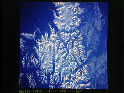
Space Shuttle 250mm Photograph
Image credit: Image Science and Analysis Laboratory, NASA Johnson Space Center (http://eol.jsc.nasa.gov)
MOUTH OF THE MATANUSKA RIVER ≈61.60N, 149.08W
The link shows images from along the Matanuska.
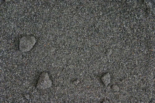
ZERO MAGNITUDE IMAGE
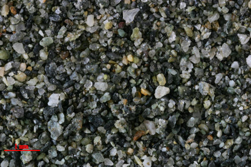
3X MAGNIFICATION (RED LINE = 1MM)
Return to Alaskan Sand
Return to USA Map
Return to Bill and Charlie