
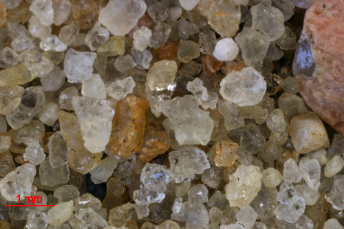
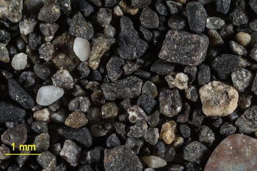
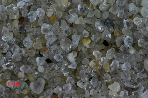
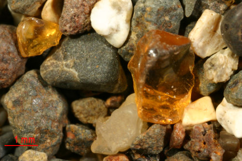
How does the composition of sands compare from East Coast to
West Coast and from North to South in North America? That is the question that
these images are helping you to answer. As a minimum, I will try to provide one
sample from each degree of latitude. Wherever possible, I will try and match the
East Coast / West Coast as close as possible latitude wise. By clicking on the
name of the location you will be taken to a page showing images of varying
magnifications for the site. Clicking on the thumbnail under the location will
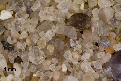
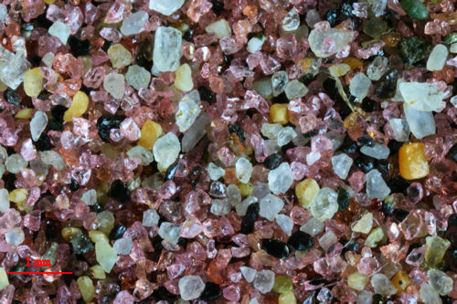
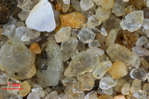
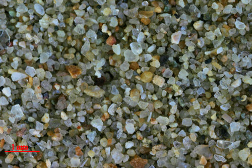
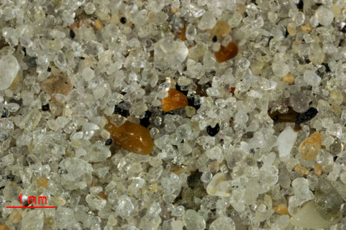
open a high resolution version of the image. Most of the images were taken at
the same magnification, ≈9.2X. In a few cases,
because of the large size of the individual grains, a lower scale was used. Be
sure to check the scale bar to identify these unique samples.
49 North
48 North
47 North
46 North
|
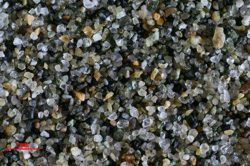
OCEAN SHORES,
WASHINGTON
46.97N, 124.16W
 |
 |
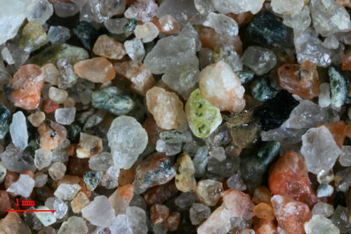 |
INGONISH BEACH,
CAPE BRETON, CANADA 46.66N, 60.40W
 |
|
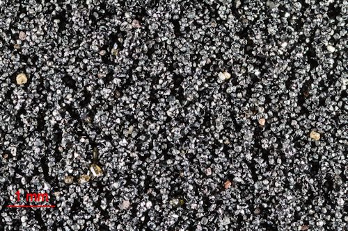
CLATSOP
SPIT, OREGON 46.23N, 124.01W
 |
 |
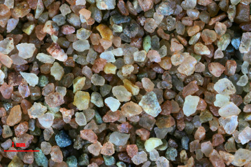 |
CHELTON BEACH, PEI,
CANADA
46.18N, 63.44W
 |
|
45 North
|
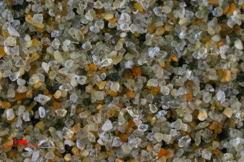
CANNON BEACH,
OREGON
45.88N, 123.96W
 |
 |
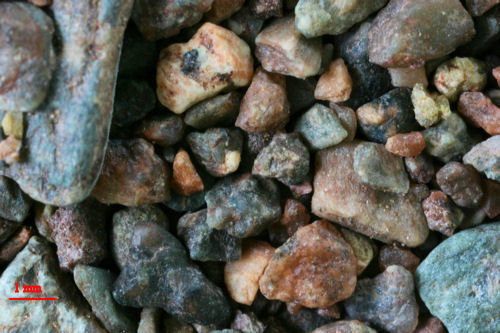 |
HOPEWELL
CAPE , NEW BRUNSWICK, CANADA (2X) 45.82N, 64.57W
 |
|
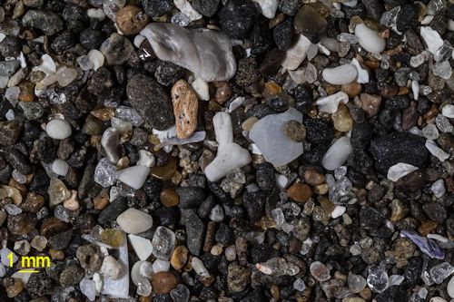
CAPE KIWANDA (1X), OREGON 45.22N,123.97W
 |
 |
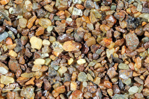 |
BLACKS HARBOUR, NEW BRUNSWICK, CANADA 45.06N,
66.79W
 |
|
44 North
|
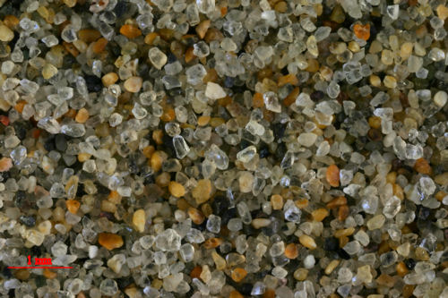
ONA
BEACH STATE PARK, OREGON 44.52N, 124.07W
 |
 |
 |
SAND BEACH ACADIA
NAT.PK, MAINE 44.33N, 68.14W
 |
|
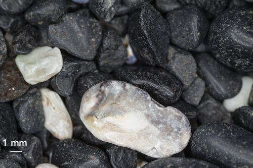
COBBLESTONE
BEACH, YAQUINA HEAD, OREGON 44.68N, 124.08W
 |
 |
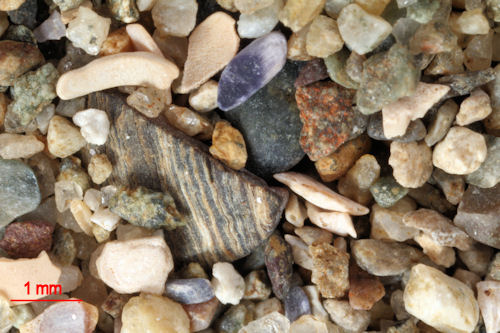 |
CROCKETT COVE,
VINALHAVEN, MAINE - 44.04N, 68.83W
 |
|
43 North
|
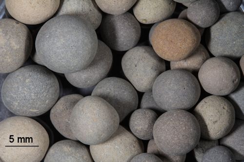
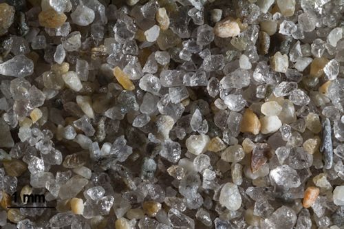
CONCRETION COVE, SUNSET BAY, OREGON 43.33N,
124.37W
 |
 |
 |
GOOCH'S BEACH, KENNEBUNKPORT,
MAINE 43.36N, 70.48W
 |
|
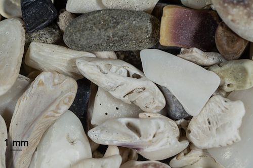
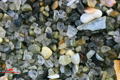
SHELL ISLAND, SIMPSON REEF, OREGON 43.31N, 124.40W
 |
 |
 |
SHORT SANDS
BEACH, YORK, MAINE 43.10N, 70.36W
 |
|
|
|
|
|
|
42 North
|
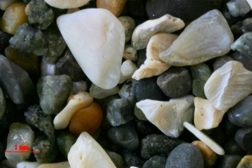
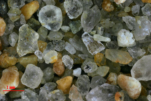
CAPE BLANCO,
OREGON 42.83N, 124.56W
 |
 |
 |
SALISBURY BEACH, SALISBURY, MASSACHUSETTS 42.87N,
70.81W
 |
|
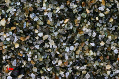
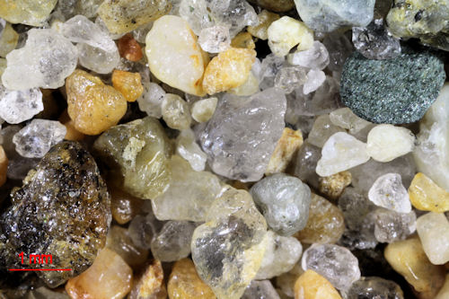
GOLD BEACH, OREGON 42.41N, 124.42W
 |
 |
 |
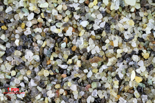
PLUM ISLAND,
SANDY POINT STATE PARK, MASSACHUSETTS
42.44N, 70.47W
 |
|
41 North
40 North
|
CLAM BEACH, MCKINLEYVILLE,
CALIFORNIA 40.95N, 124.10W
 |
 |
 |
EAST HAMPTON, NEW YORK 40.96N, 72.18W
 |
|
BLACK SAND
BEACH, SHELTER COVE, CALIFORNIA 40.04N, 124.07W
 |
 |
 |
LAVALETTE,
NEW JERSEY 39.98N, 74.10W
 |
|
39 North
|
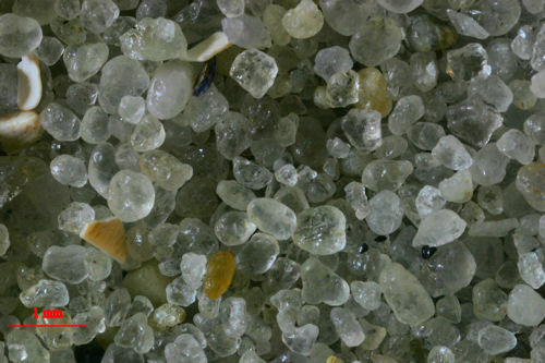
GLASS BEACH,
FORT. BRAGG, CALIFORNIA 39.45N, 123.79W
 |
 |
 |
ATLANTIC CITY,
NEW JERSEY
39.36N, 74.42W
 |
|
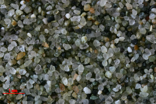
BIG RIVER BEACH, MENDOCINO, CALIFORNIA 39.30N, 123.79W
 |
 |
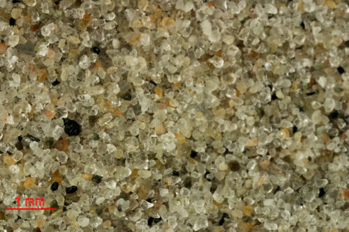 |
WILDWOOD CREST,
NEW JERSEY 38.96N, 74.83W

|
|
38 North
37 North
36 North
|
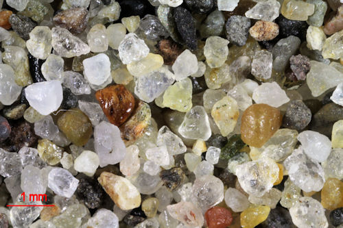
MOSS LANDING STATE BEACH,
CALIFORNIA 36.80N, 121.79W
 |
 |
 |
FORT BOYKIN BEACH, ISLE OF WIGHT,
VIRGINIA 36.89N, 76.70W
 |
|
PFEIFFER STATE PARK, BIG SUR , CALIFORNIA 36.28N, 121.83W
 |
 |
 |
KILL DEVIL HILLS,
NORTH CAROLINA 36.01N, 75.67W
 |
|
35 North
34 North
|
SANTA
BARBARA, CALIFORNIA 34.41N, 119.71W
 |
 |
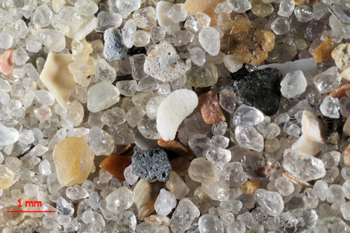 |
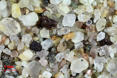
EMERALD ISLE, NORTH CAROLINA 34.67N, 77.01W
 |
|
PORT HUENEME, CALIFORNIA 34.16N,119.19W
 |
 |
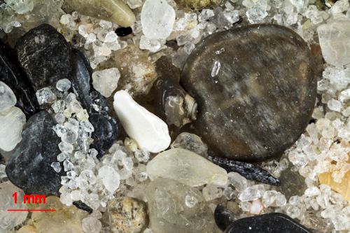 |
WRIGHTSVILLE BEACH, NORTH CAROLINA 34.21N, 77.80W
 |
|
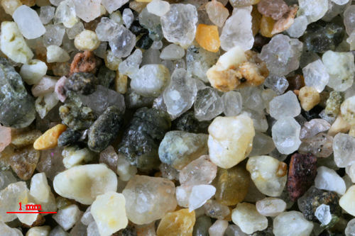
PARADISE
COVE, MALIBU, CALIFORNIA 34.03N, 118.79W
 |
 |
 |
KURE
BEACH, NORTH CAROLINA 34.00N, 77.91W
 |
|
33 North
32 North
31 North

