|
|
LOCATION |
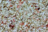
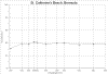
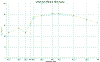
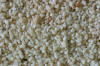
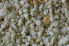
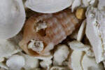
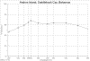
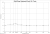
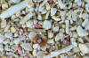
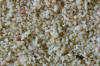
IMAGE THUMBNAIL &
SPECTRA THUMBNAIL |
|
|
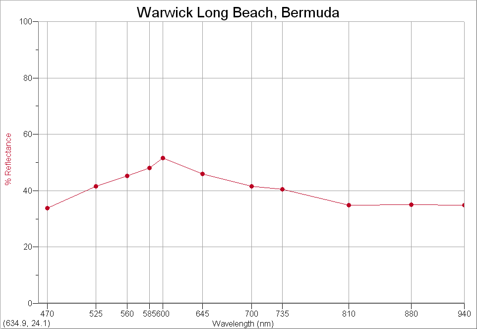
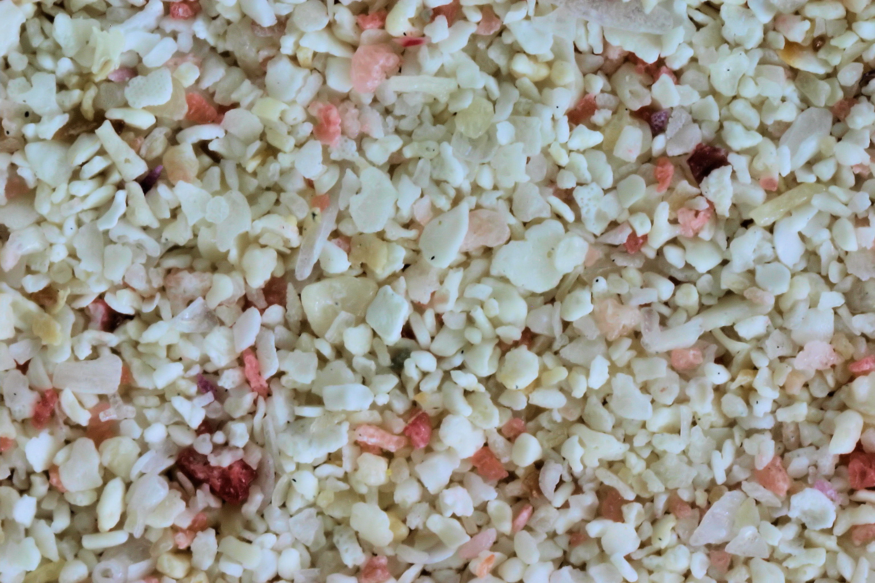
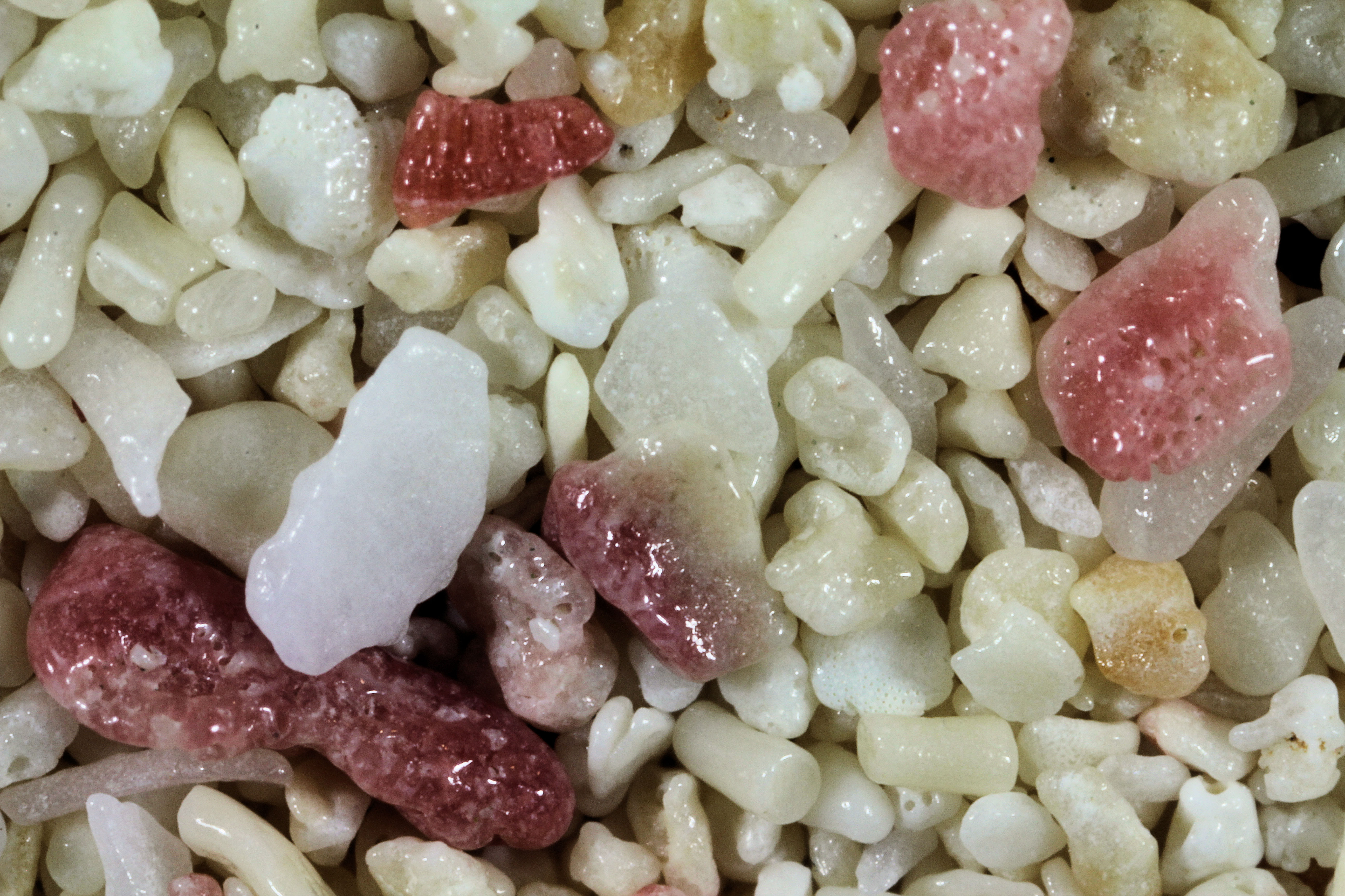
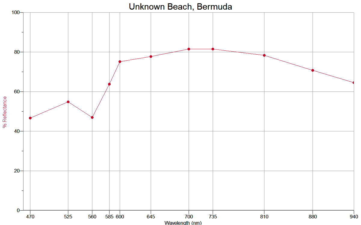
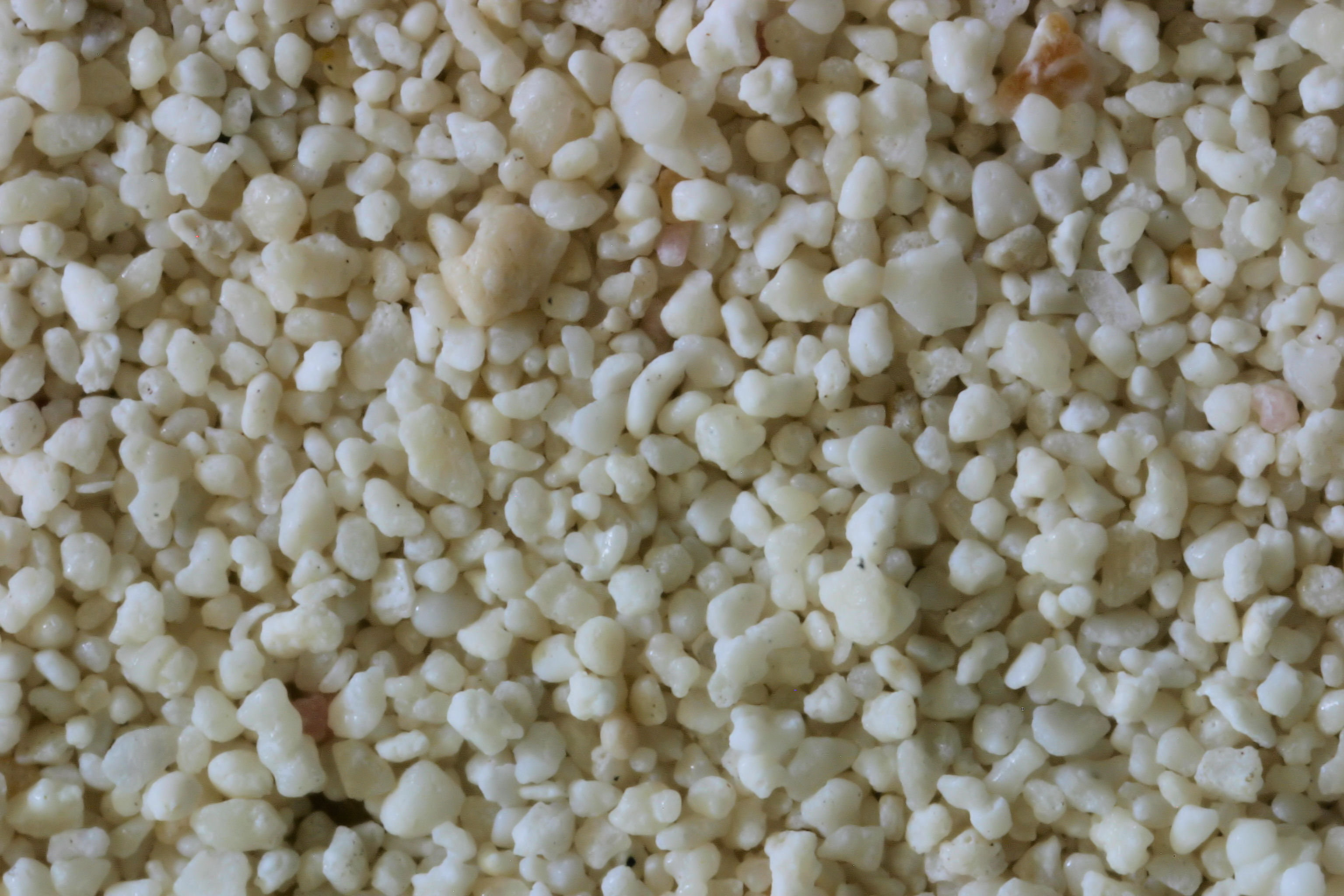
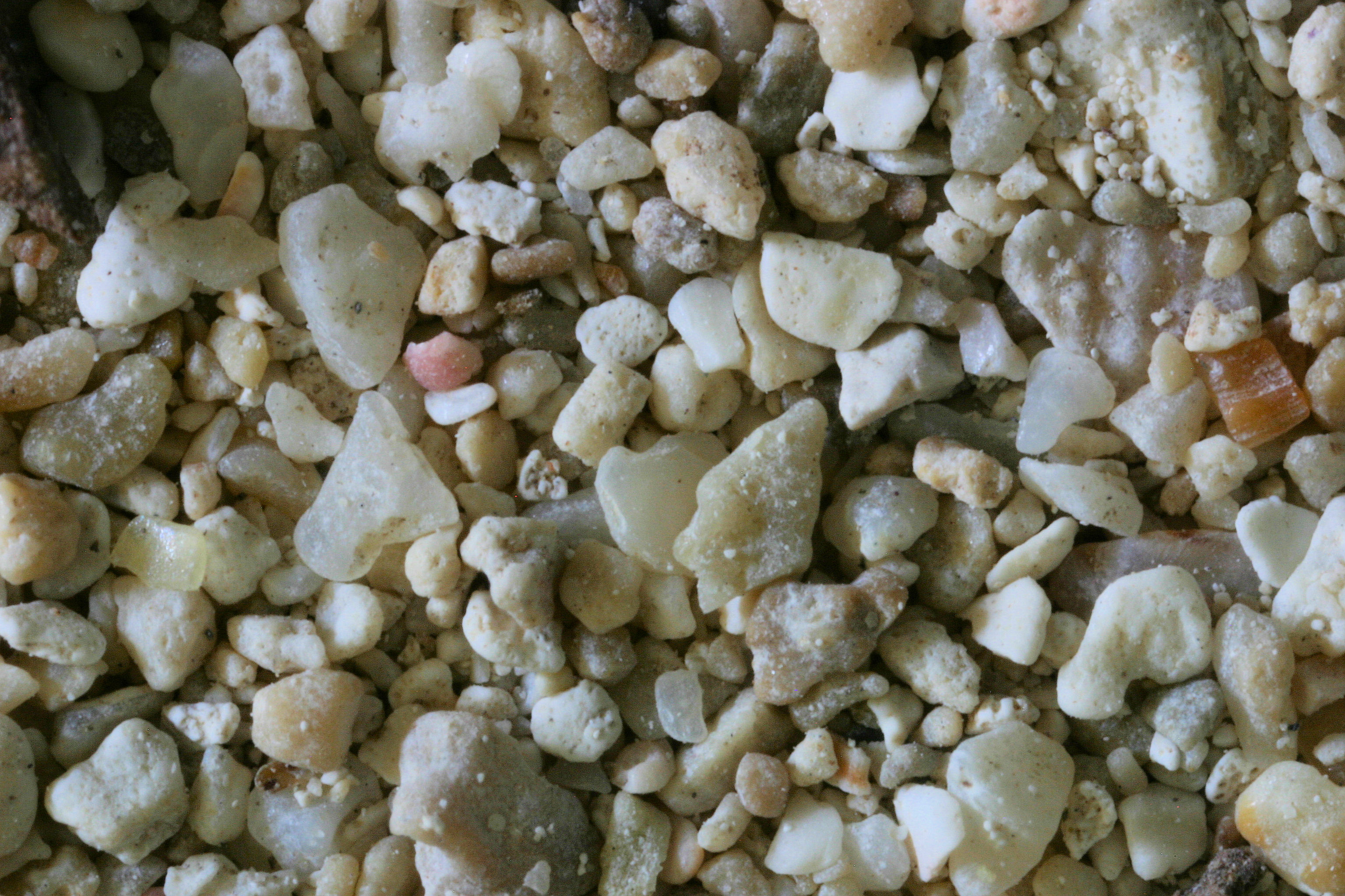
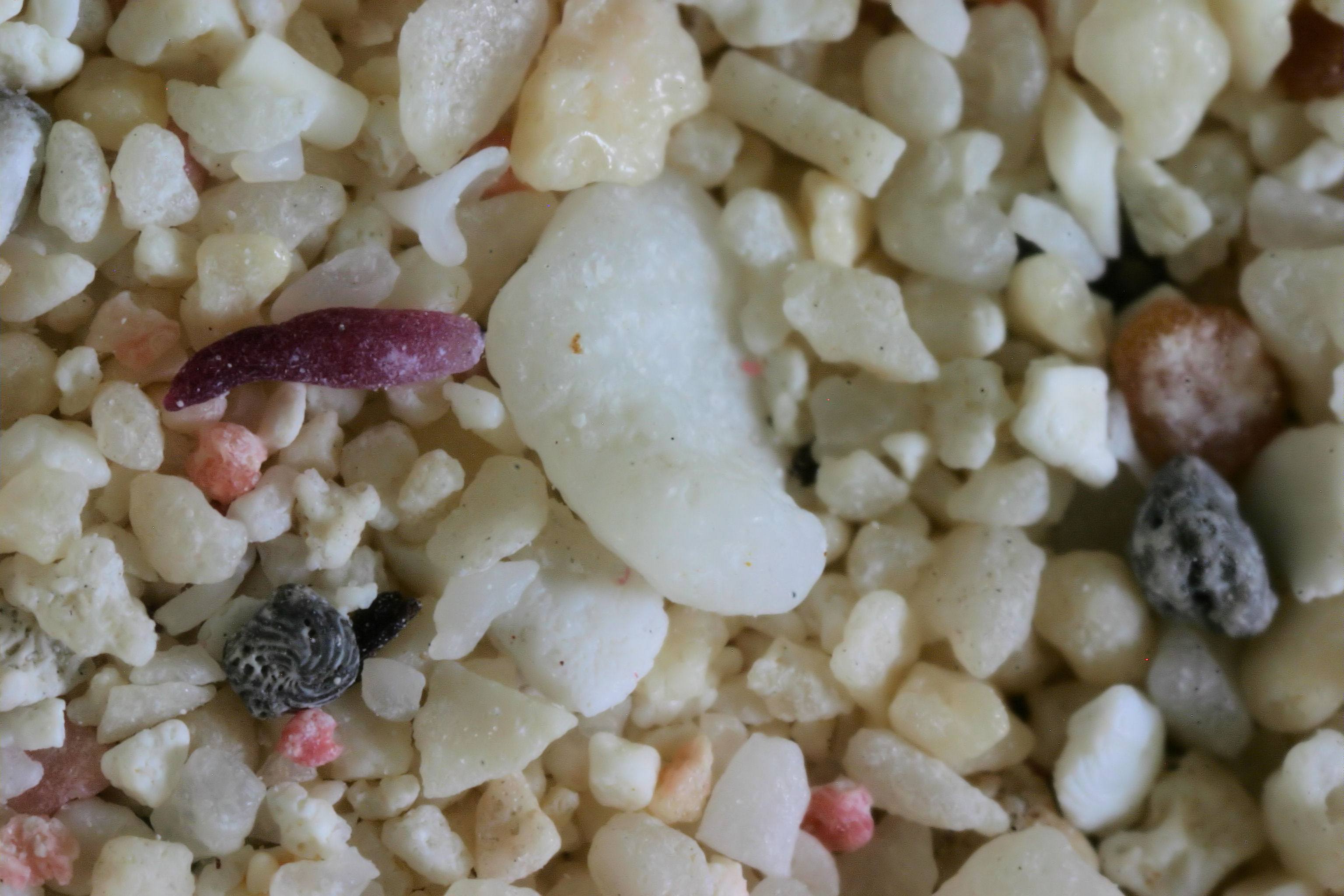
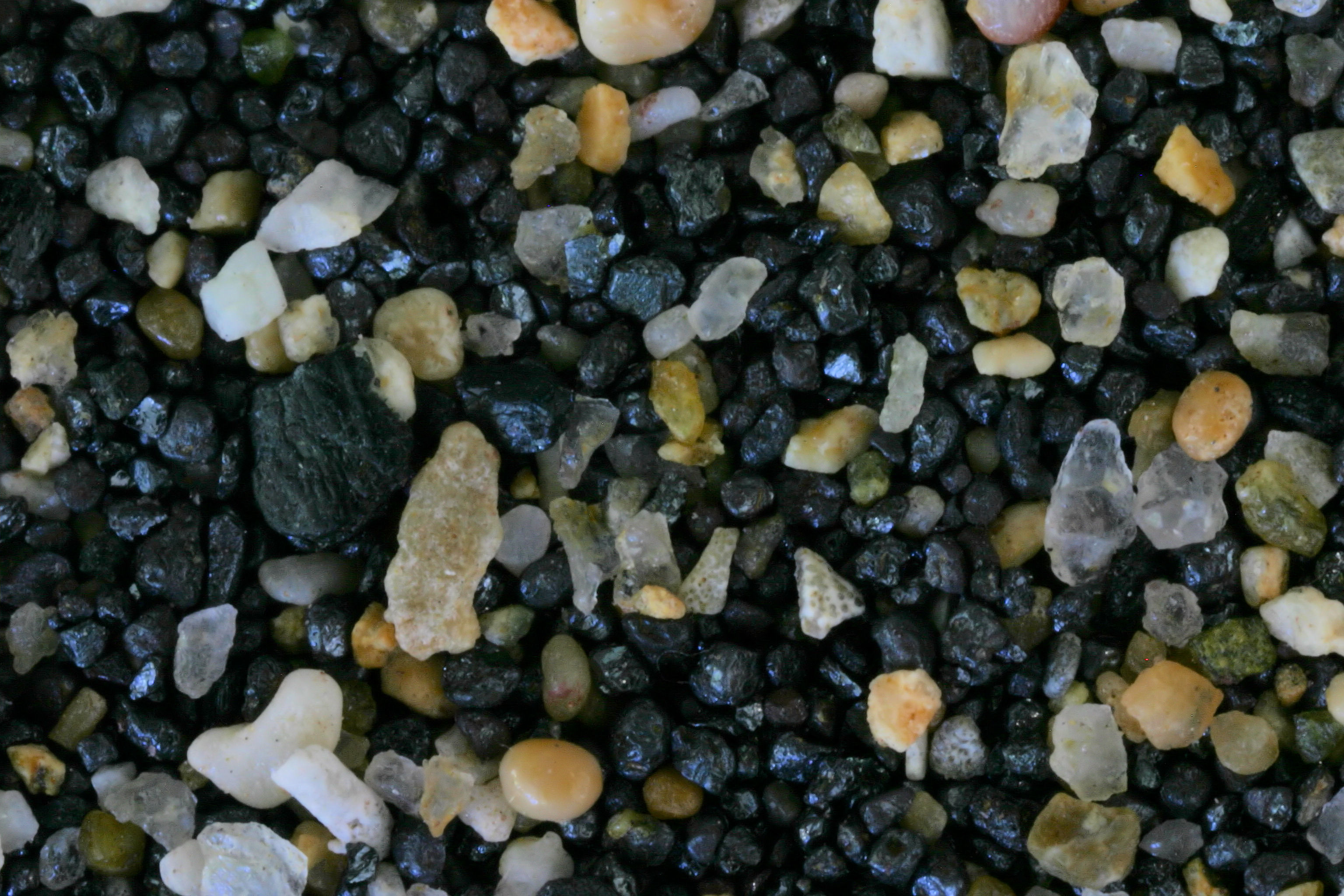
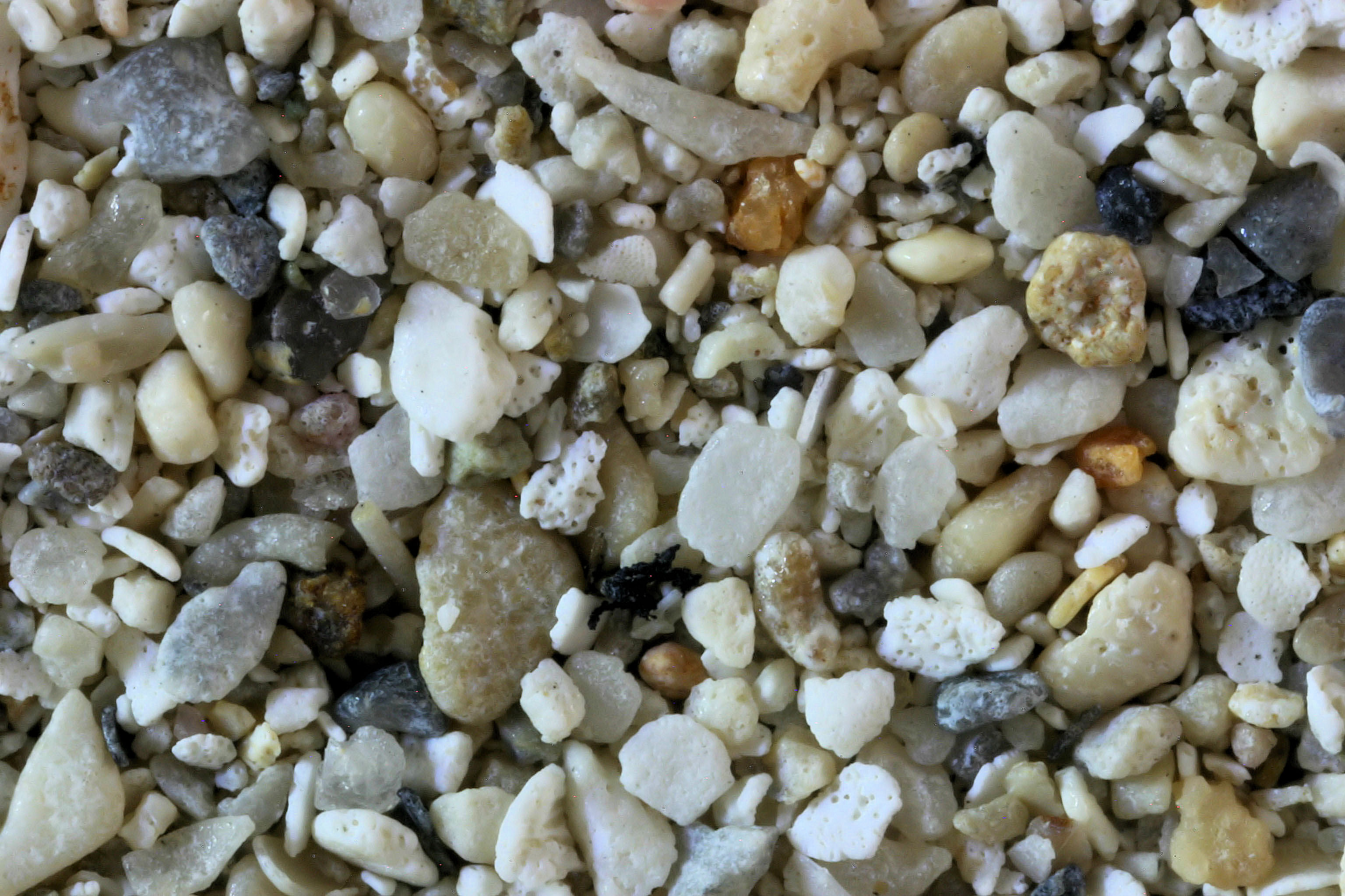
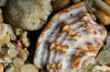
BERMUDA |
|
|
 |
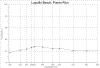
Long Beach Warwick,
32.26N, 64.81W
Jobson Cove 32.20N, 64.45W
St. Catherine's Beach
Unknown Beach |
|
|
Return to Top |
LOCATION |
IMAGE THUMBNAIL &
SPECTRA THUMBNAIL |
|
|
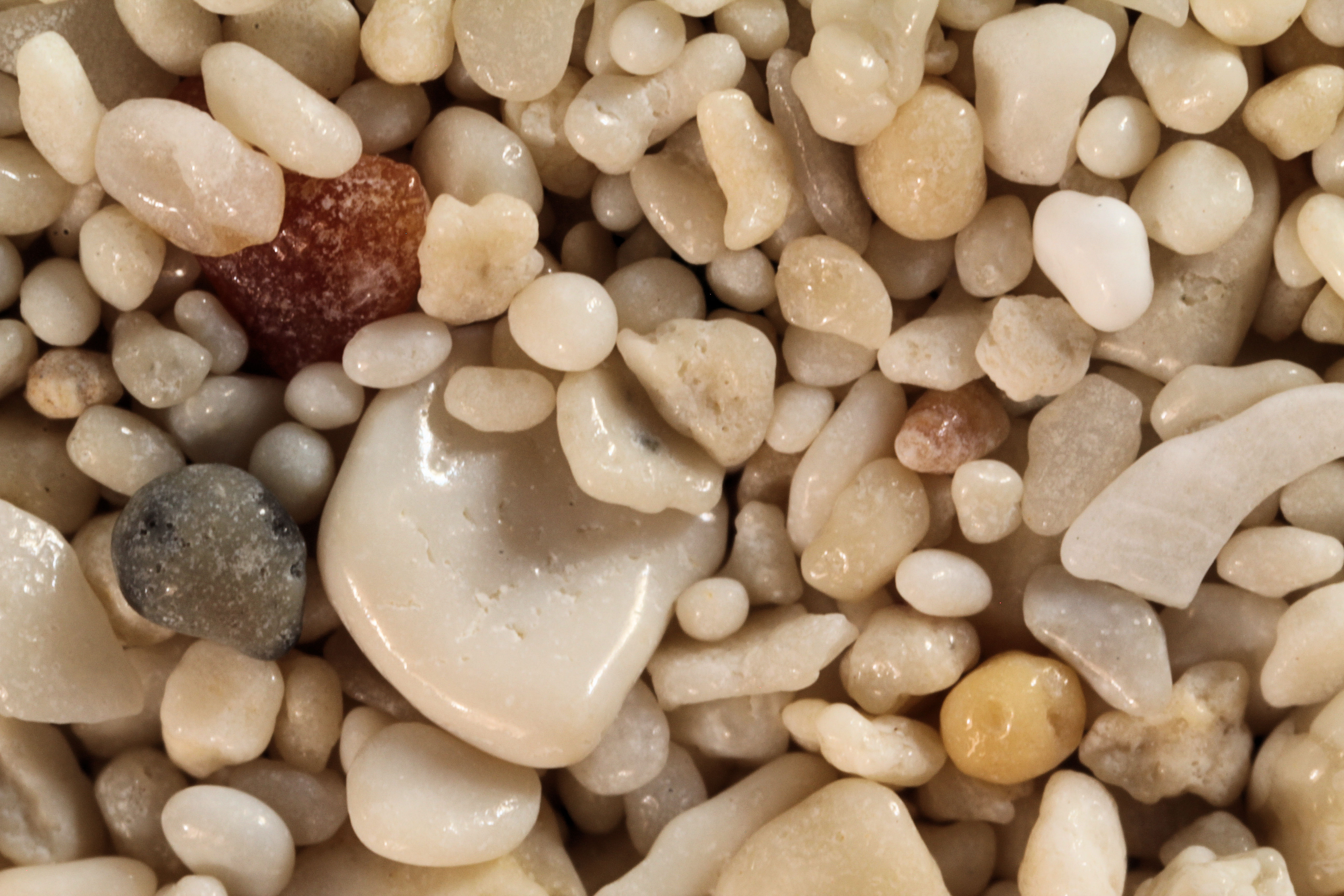
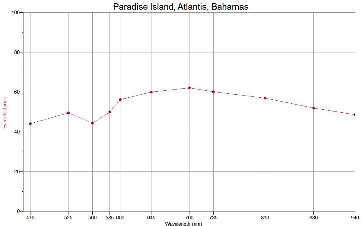
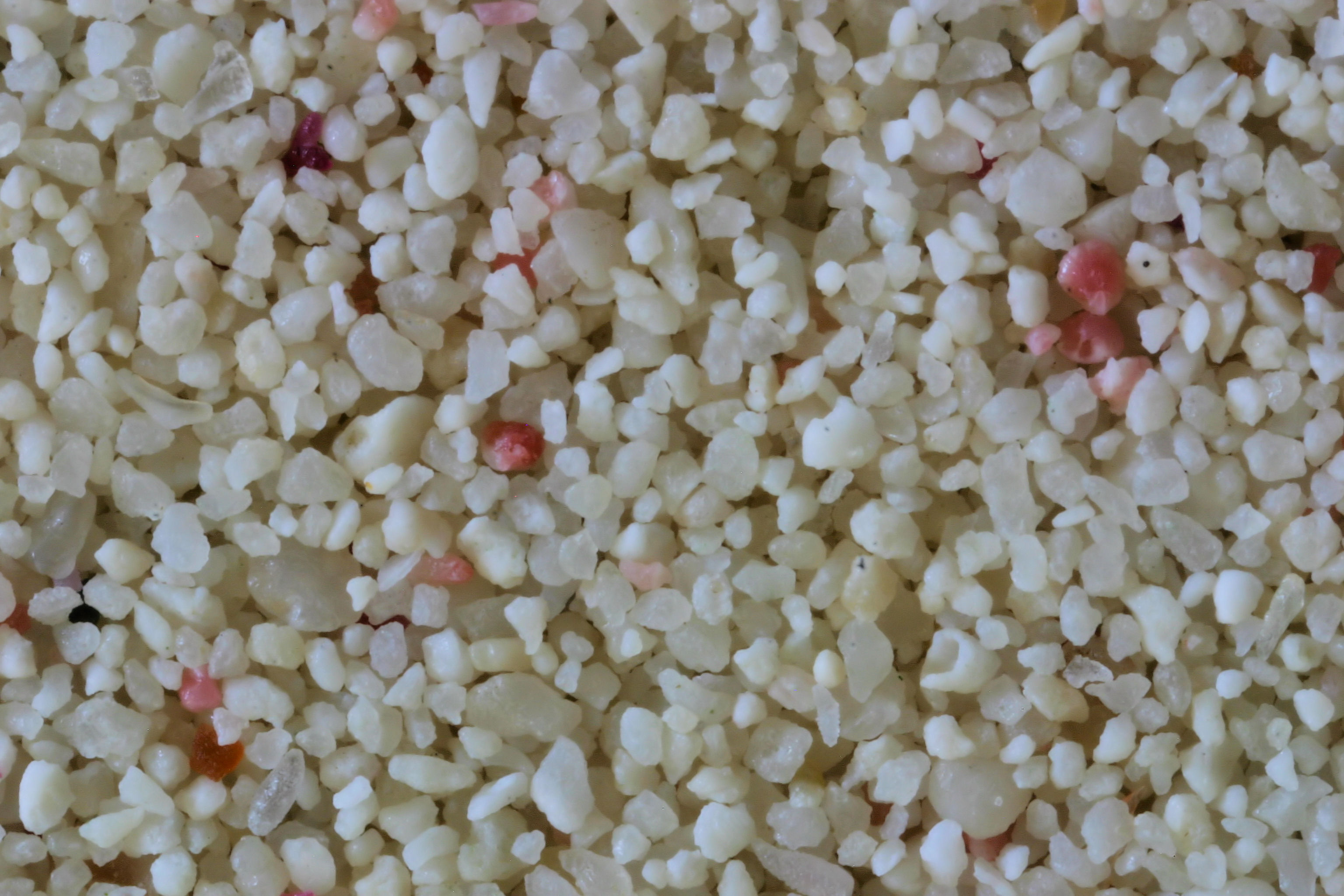
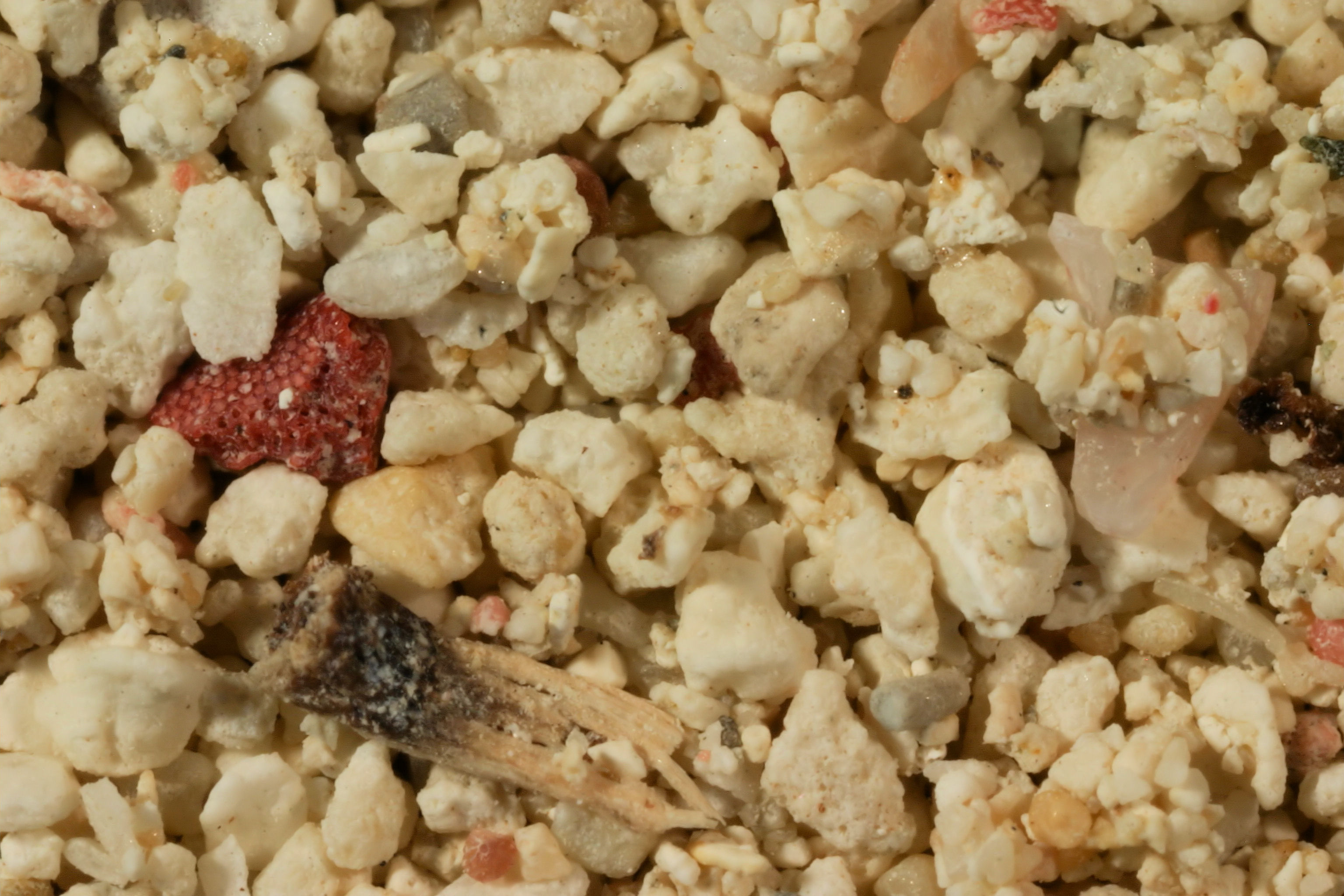
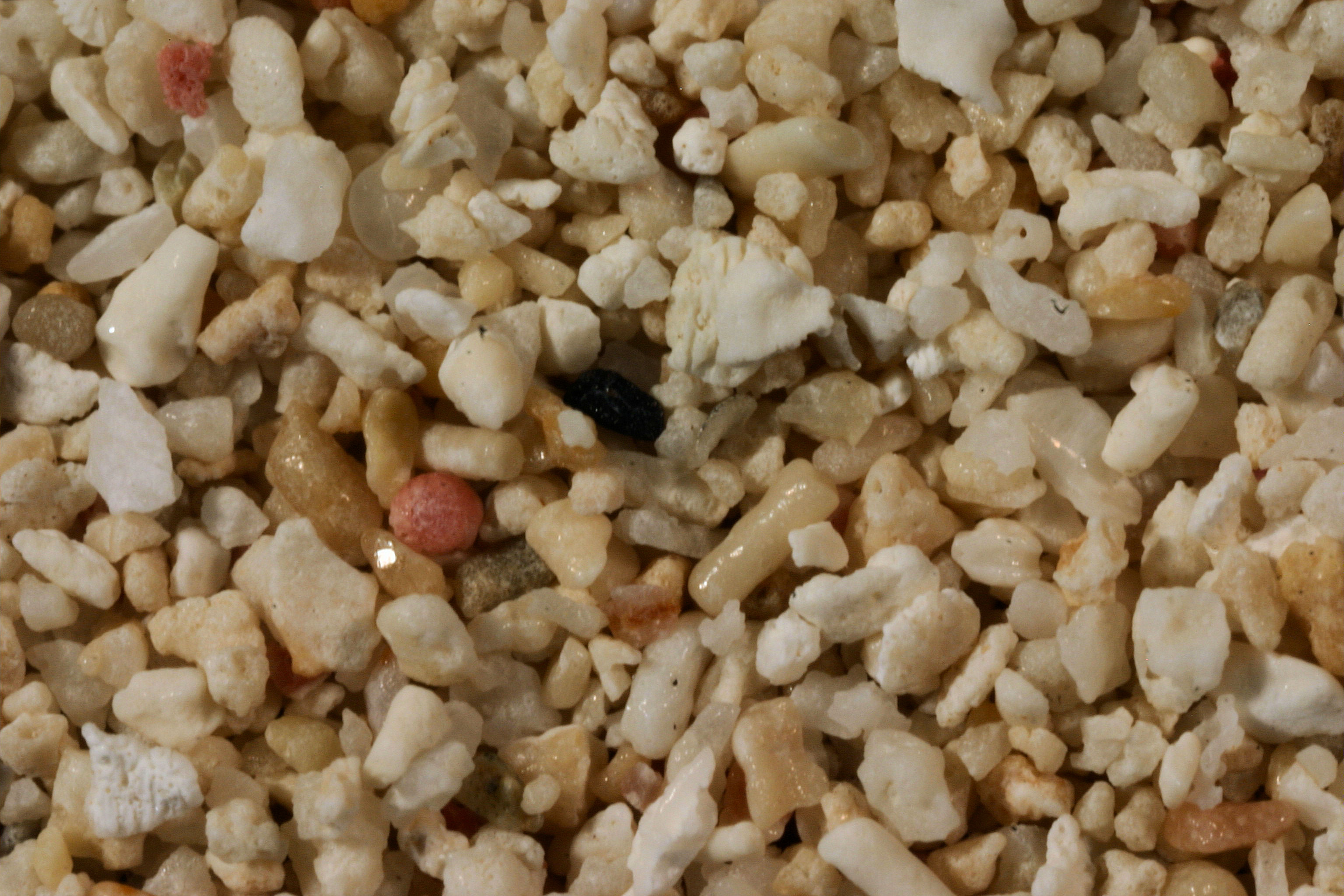
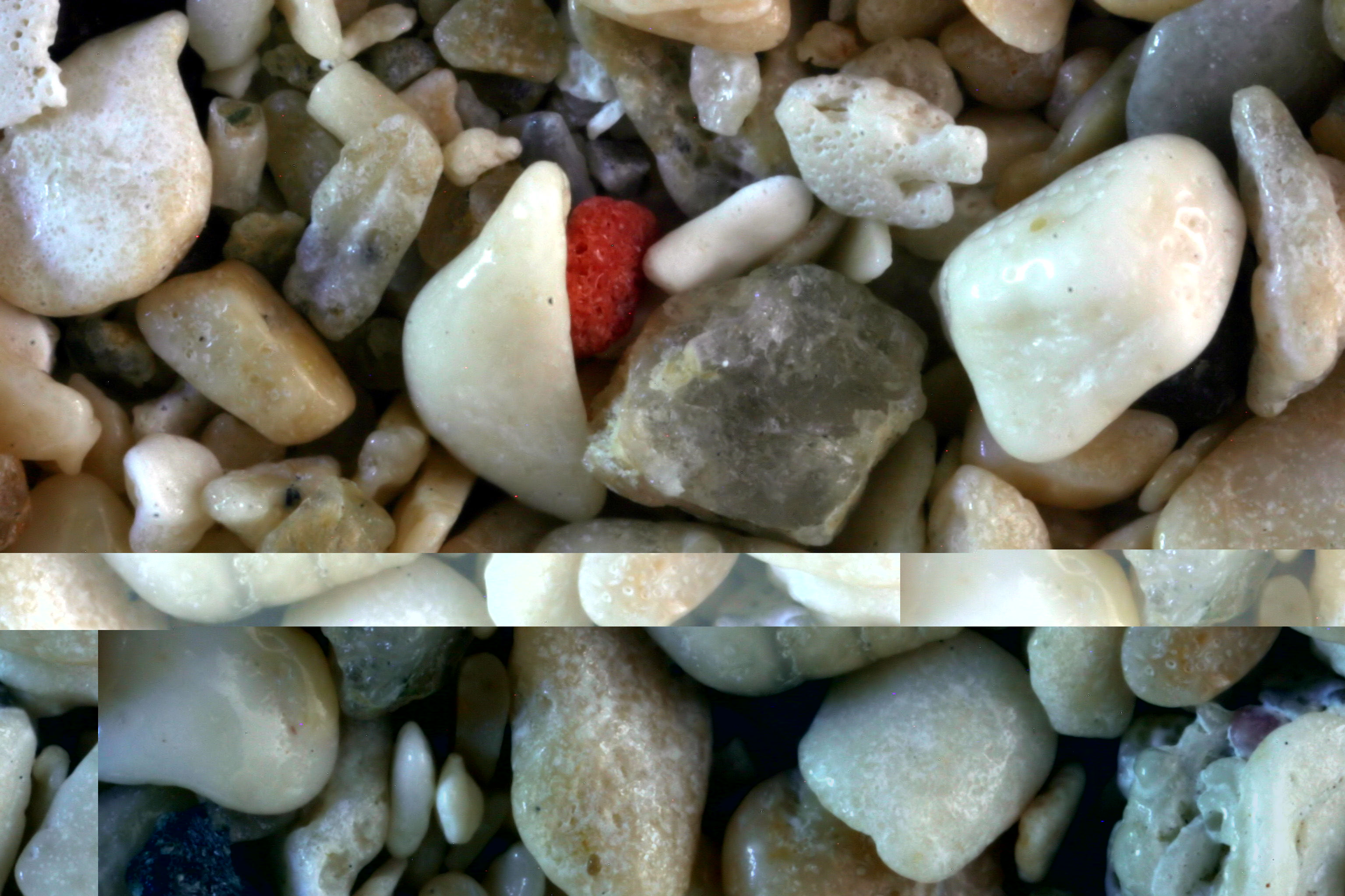
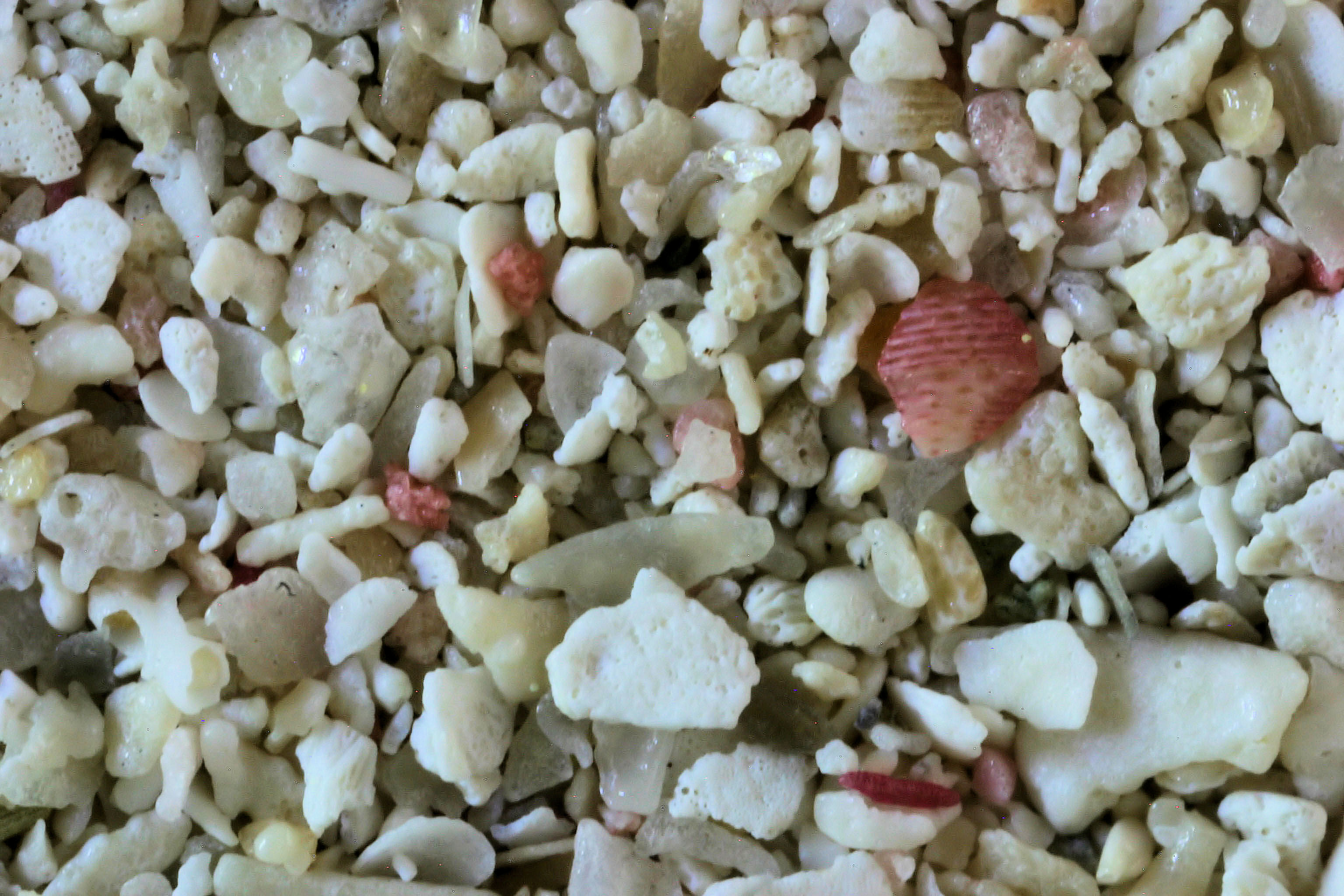
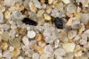
BAHAMAS |
|
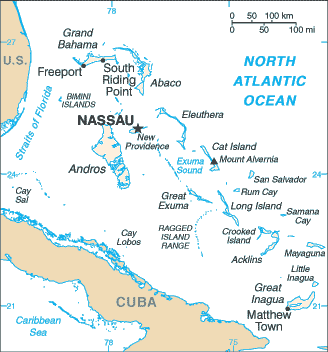 |
Freeport, 26.54N,
78.64W
Paradise
Island, Nassau 25.00N, 77.30W
Nassau, 25.05N, 77.21W
Saddleback
Cay, Andros Is. 24.70N,
77.76 W
San Salvador, Bahamas
24.00N, 74.40W |
 
 |
|
Return to Top |
LOCATION |
IMAGE THUMBNAIL &
SPECTRA THUMBNAIL |
|
|
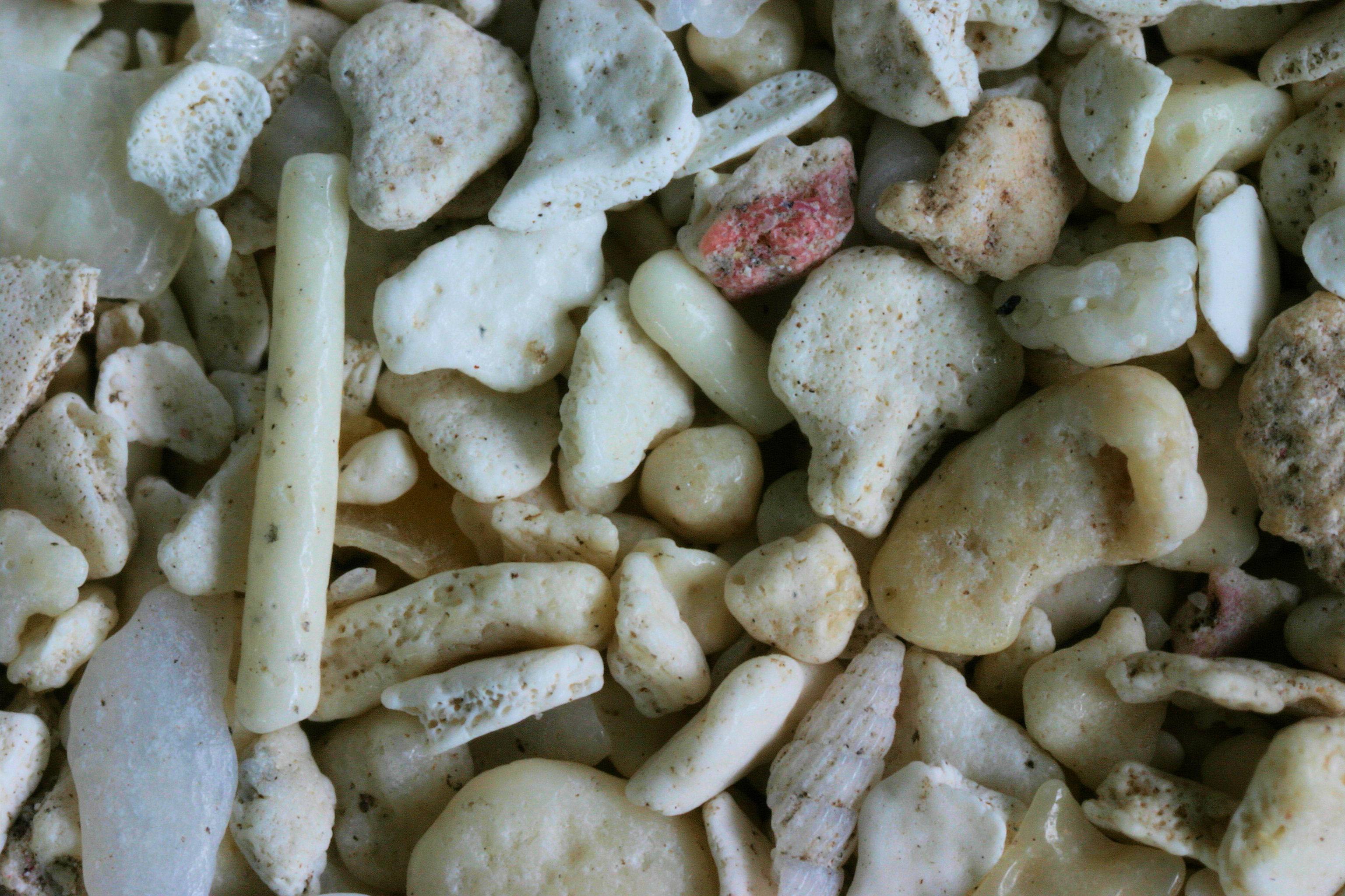
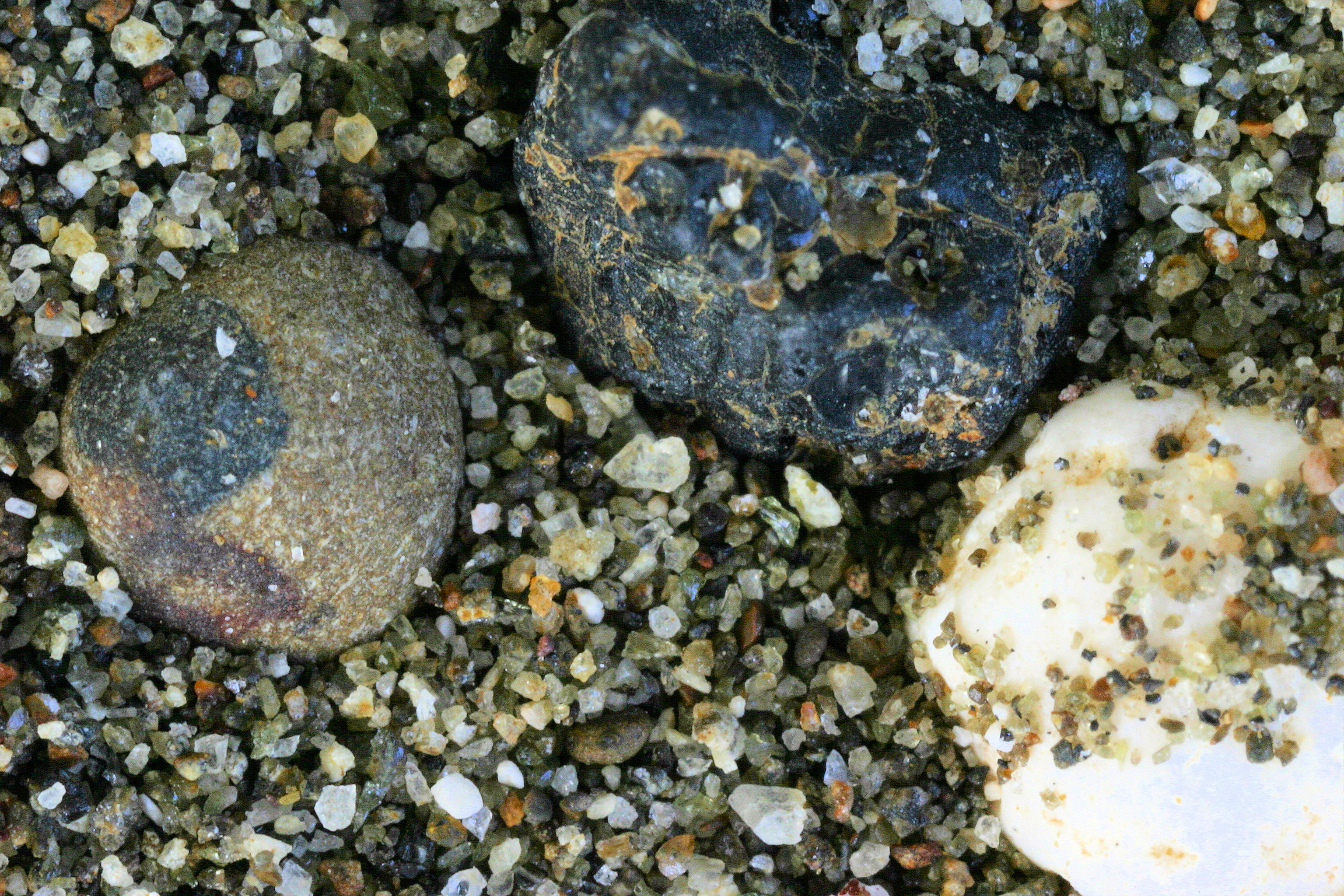
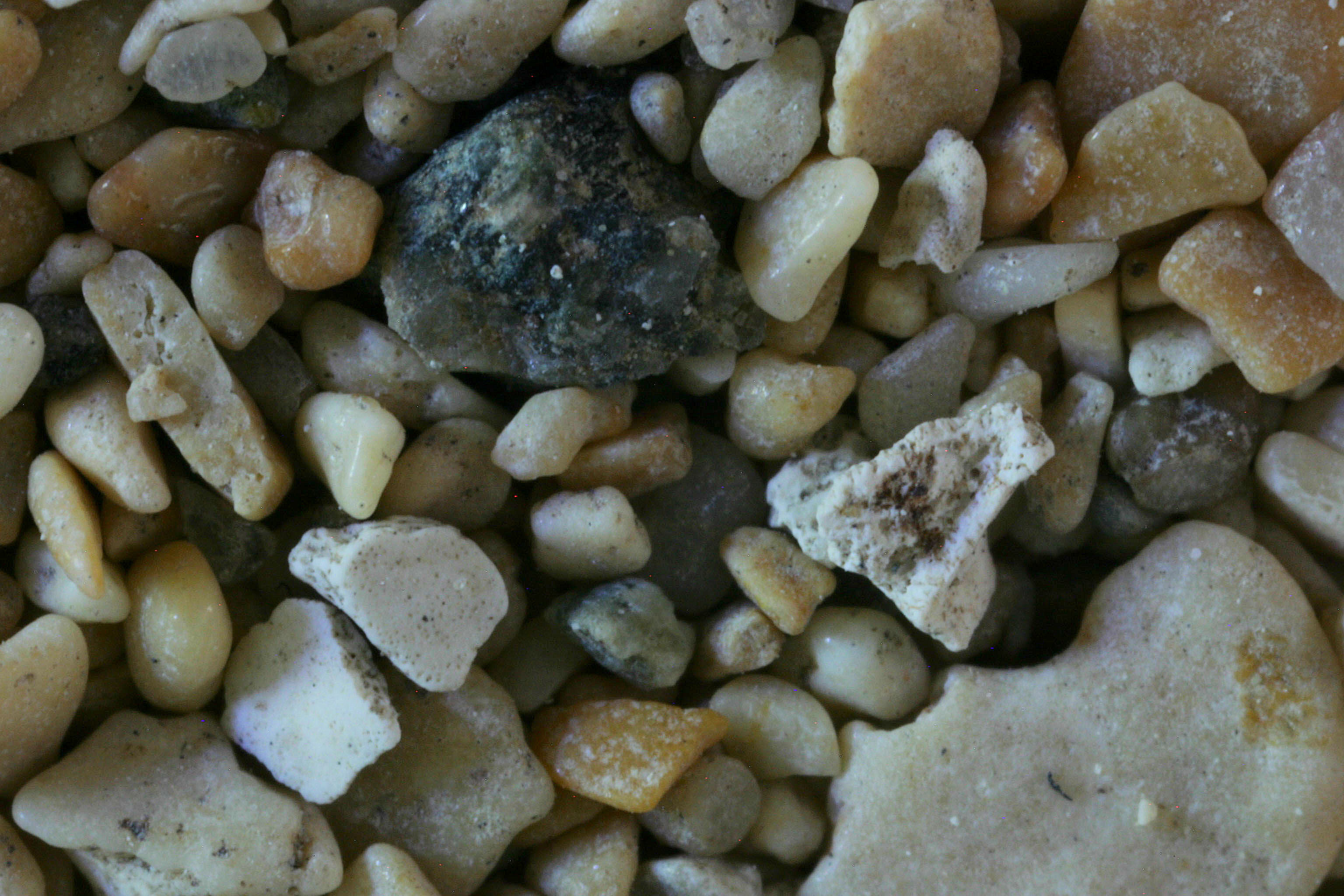
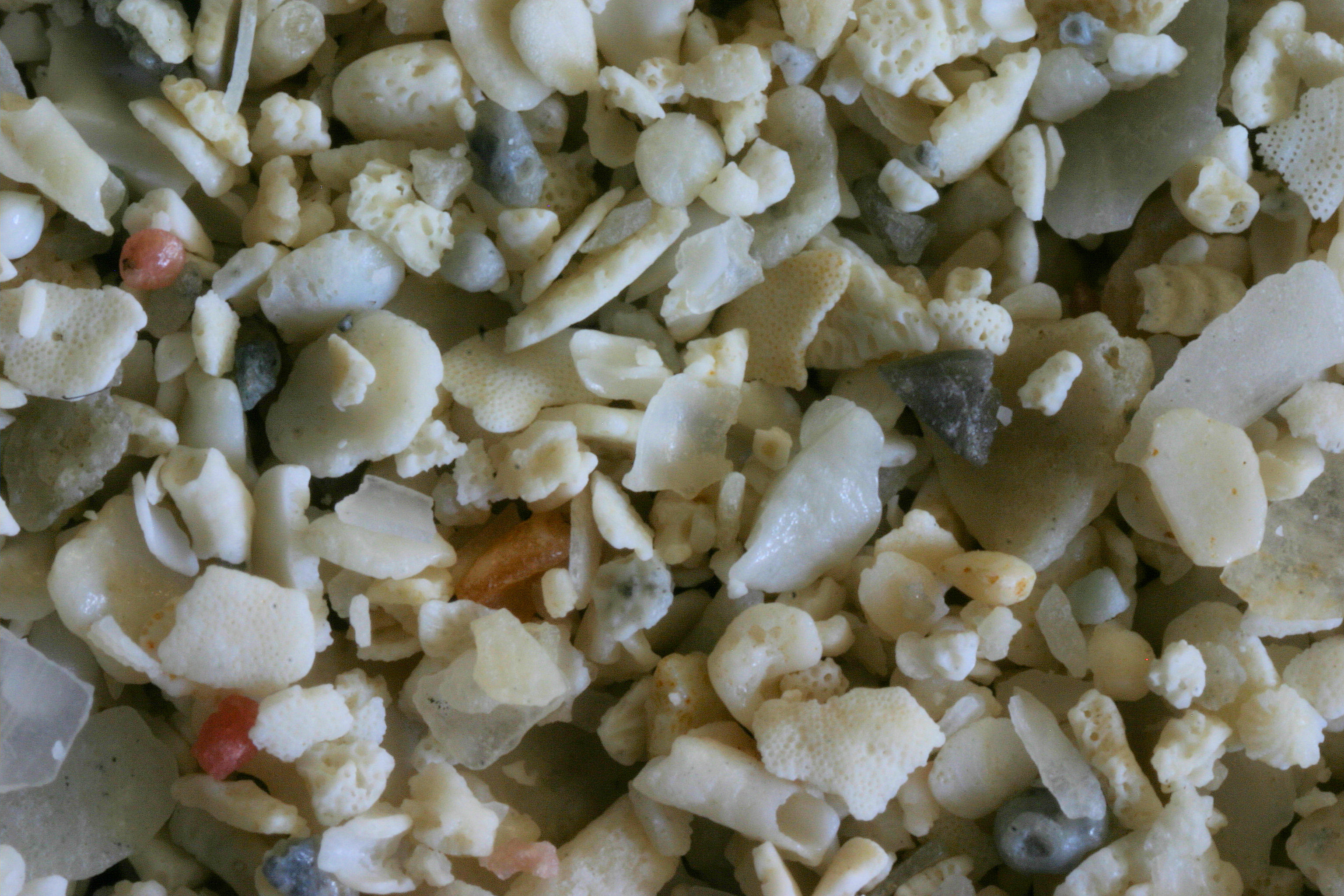
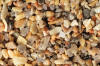
TURKS & CAICOS |
|
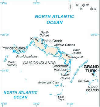 |
Grace Bay
21.79N, 72.19W (2x) |
 |
|
|
LOCATION |
IMAGE THUMBNAIL &
SPECTRA THUMBNAIL |
|
Return to Top |
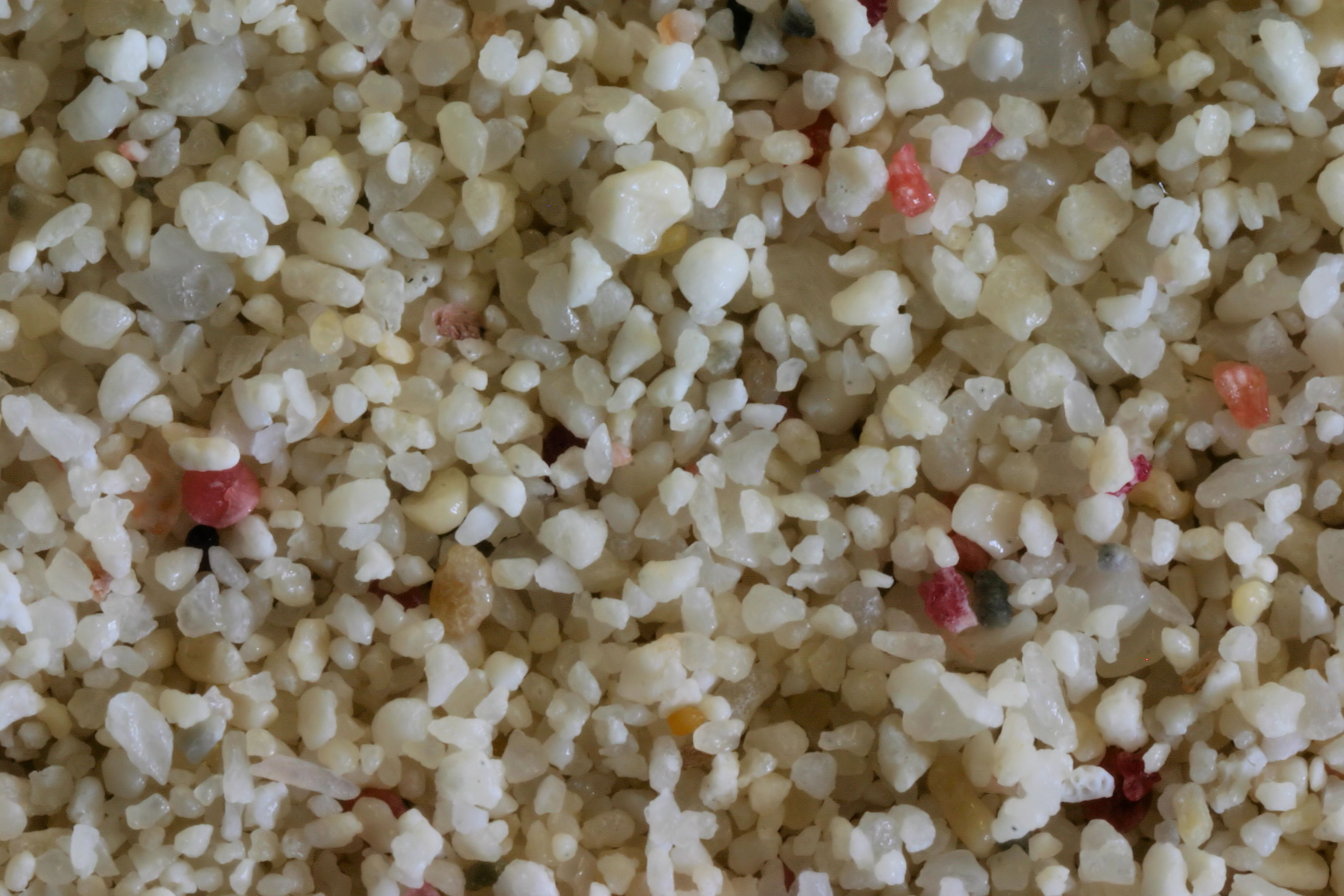
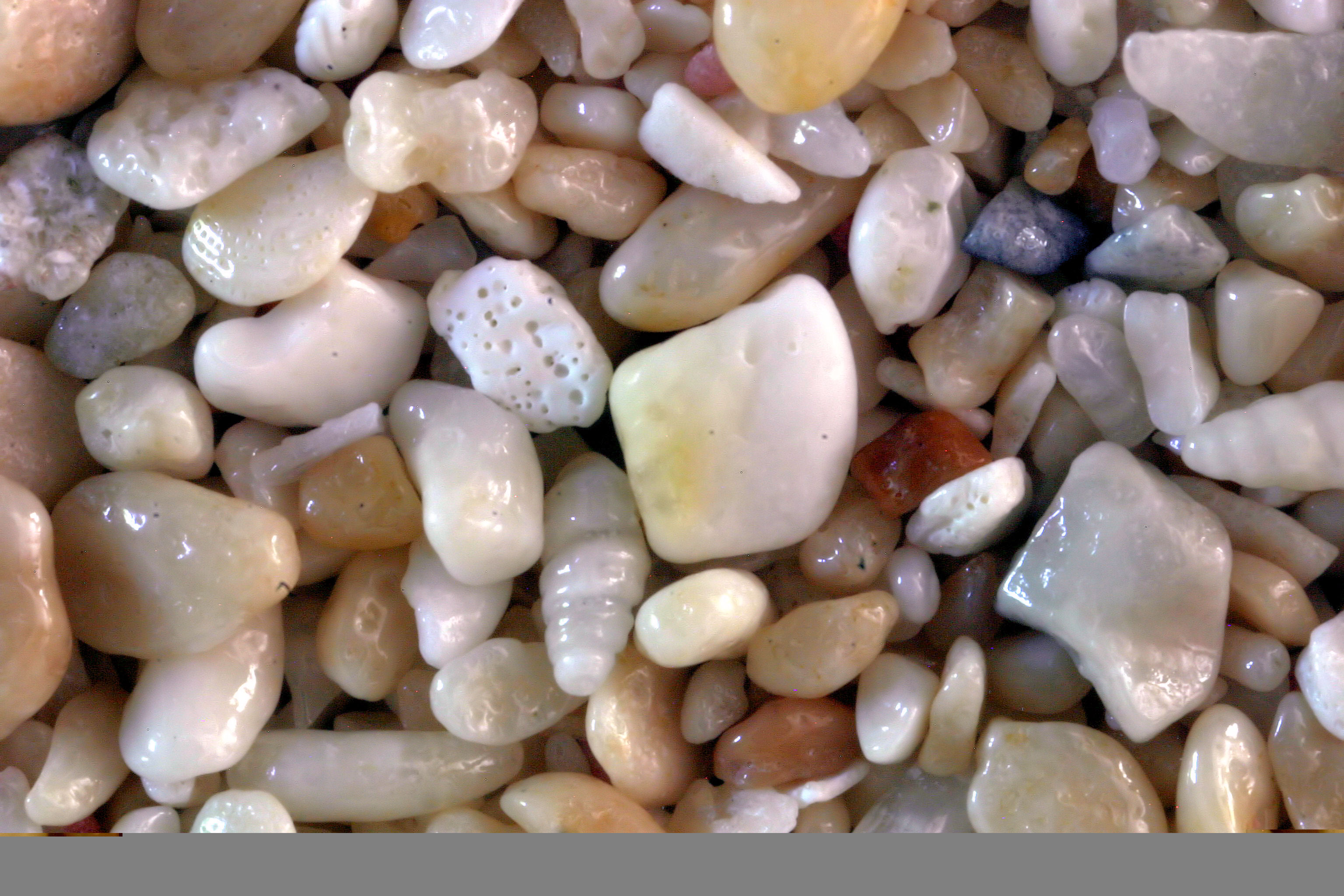
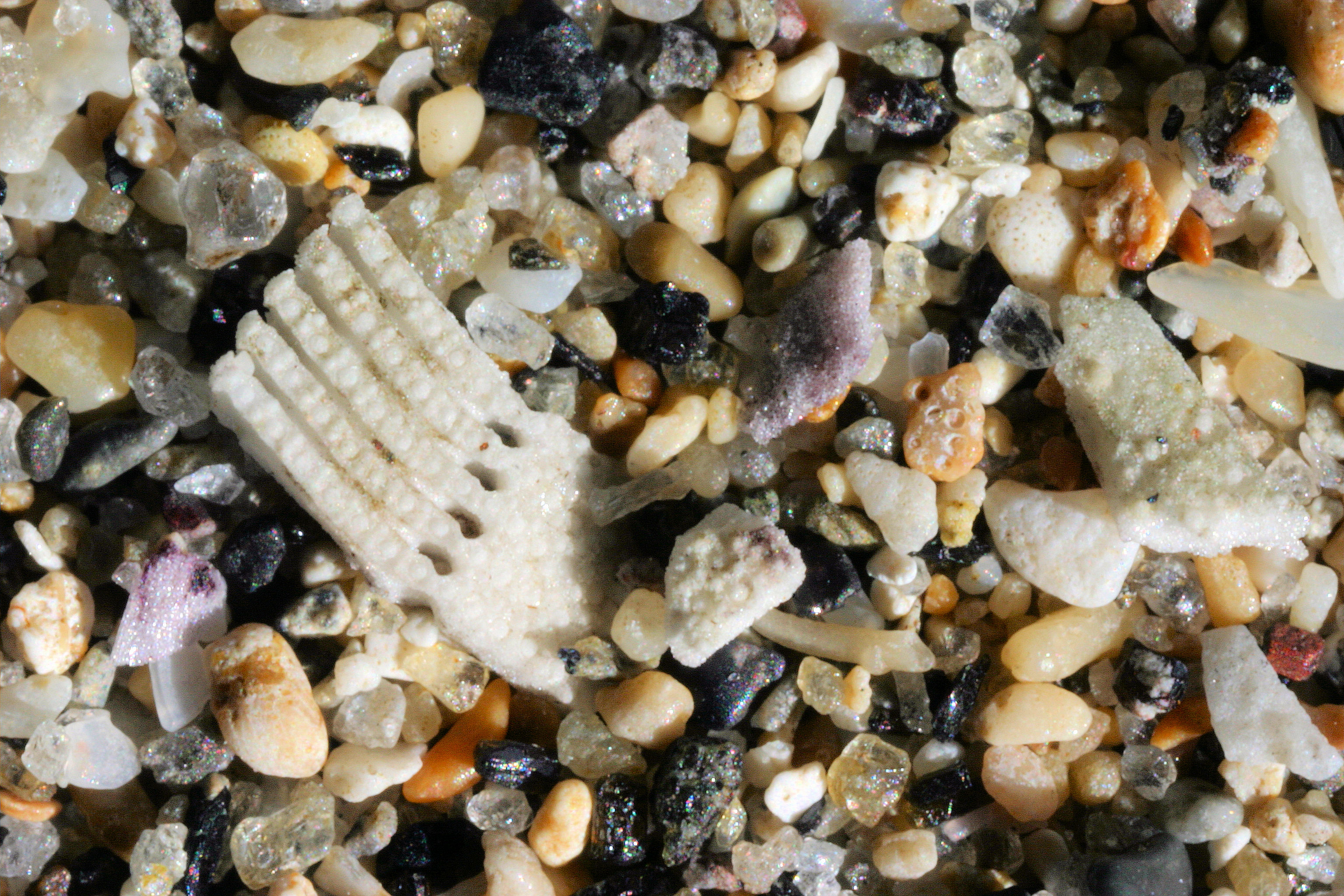
CUBA |
|
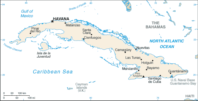 |
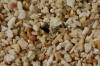
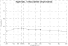
Trinidad 21.30N, 80.00W |
 |
|
|
LOCATION |
IMAGE THUMBNAIL &
SPECTRA THUMBNAIL |
|
Return to Top |
CAYMANS |
|
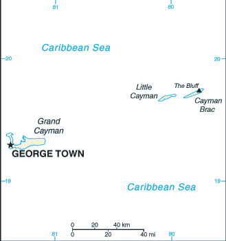 |
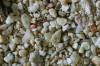
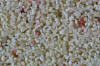
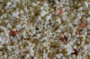
Rum Point, Grand Cayman
19.35N, 81.28W
7 Mile Beach, Grand Cayman
19.31N, 81.38W
7 Mile Beach, Grand Cayman
(#2)
19.31N, 81.38W
Bodden Town
Beach 19.28N, 81.25W |

 |
|
|
LOCATION |
IMAGE THUMBNAIL &
SPECTRA THUMBNAIL |
|
Return to Top |
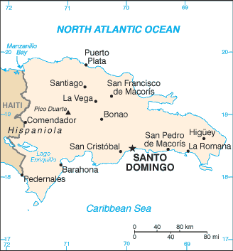
HAITI |
|
|
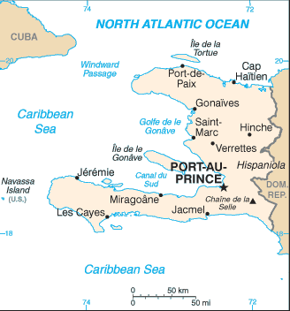 |
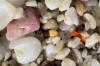
Haiti 19.00N, 72.25W |
 |
|
|
LOCATION |
IMAGE THUMBNAIL &
SPECTRA THUMBNAIL |
|
Return to Top |
JAMAICA |
|
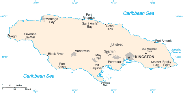 |
Montego Bay 18.50N, 77.92W
Dolphin Cove, Ocho Rios 18.41N,
77.10W |
 |
|
Return to Top |
LOCATION |
IMAGE THUMBNAIL &
SPECTRA THUMBNAIL |
|
|
TORTOLA &
VIRGIN GORDA |
|
 |
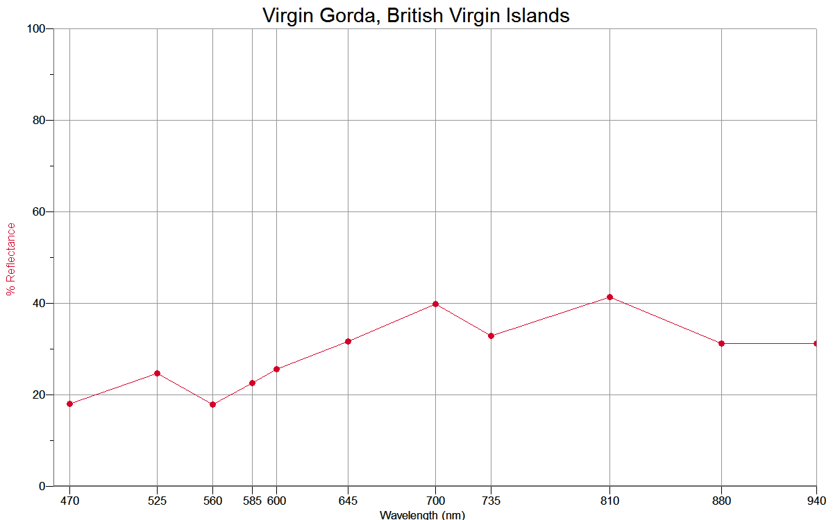
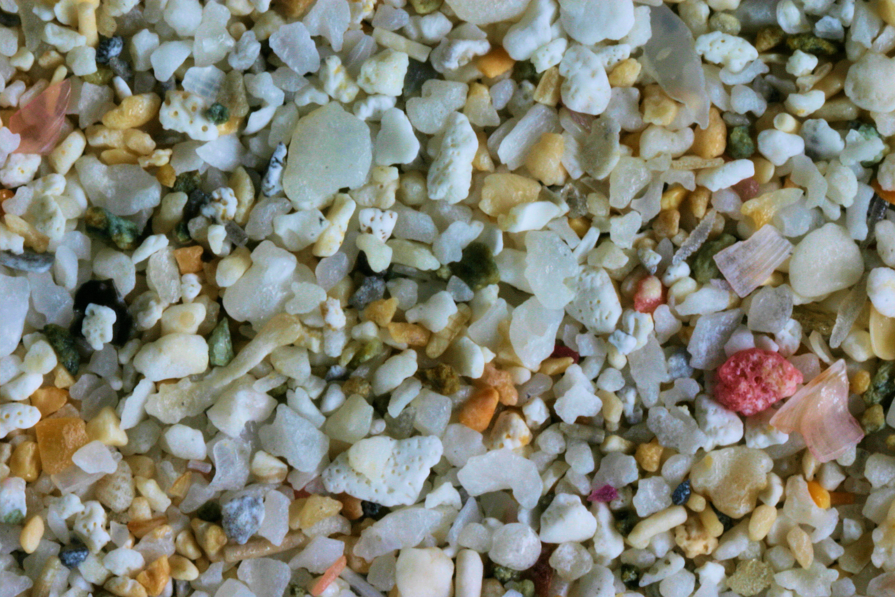
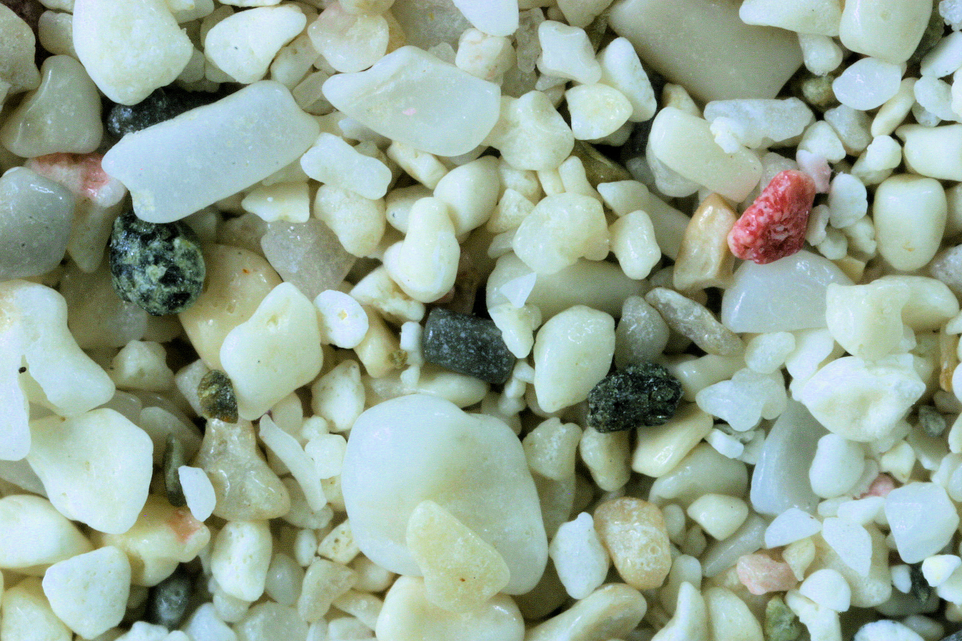
VIRGIN GORDA, . - 18.48N, 64.39W
APPLE BAY - 18.42N,
64.58 W |
  |
|
Return to Top |
LOCATION |
IMAGE THUMBNAIL &
SPECTRA THUMBNAIL |
|
|
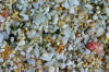
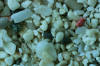
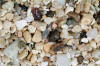
ST. THOMAS &
CROIX |
|
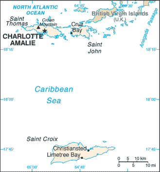 |
Magens Bay, St. Thomas
18.37N, 64.92W
St. Croix -
17.74N,
64.70 W
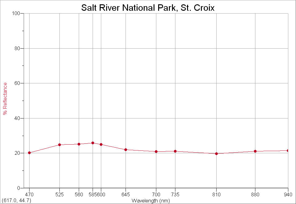
Salt River
National Park At. Croix 17.60N, 64.60W |
  |
|
|
LOCATION |
IMAGE THUMBNAIL &
SPECTRA THUMBNAIL |
|
Return to Top |
DOMINICAN REP. |
|
 |
Dominican Republic 18.29N,
69.64W
Dominican Republic (#2) 18.29N,
69.64W |
 |
|
|
LOCATION |
IMAGE THUMBNAIL &
SPECTRA THUMBNAIL |
|
Return to Top |
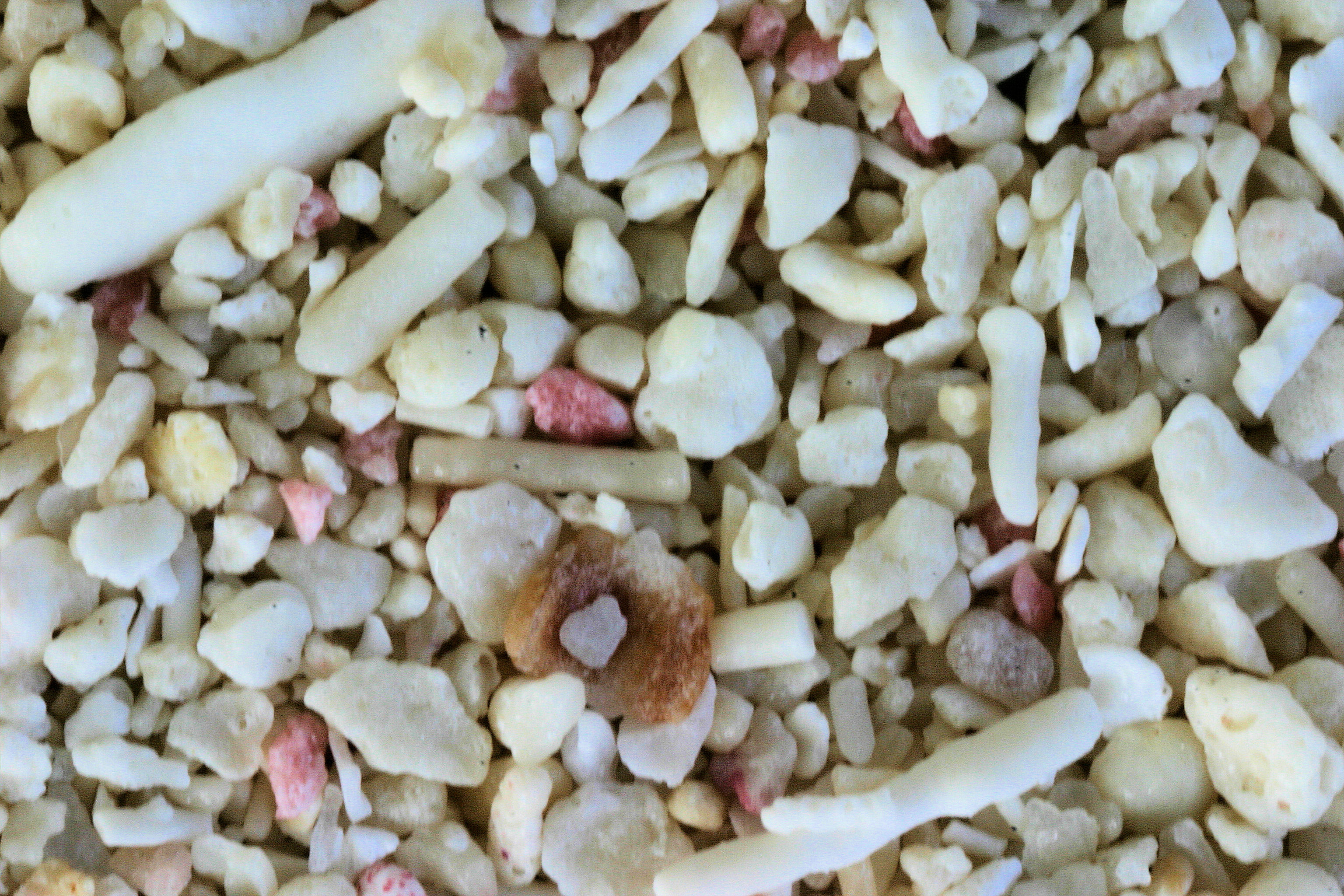
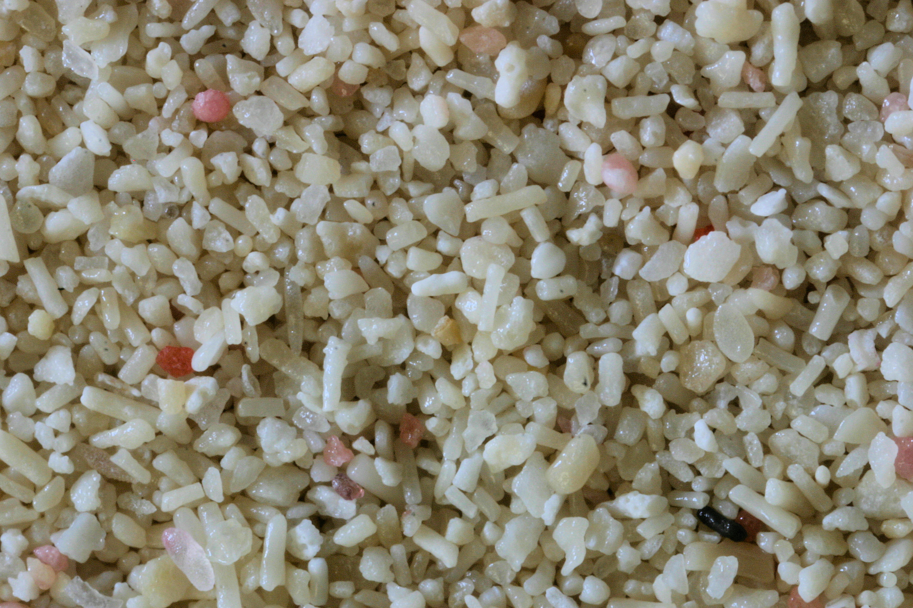
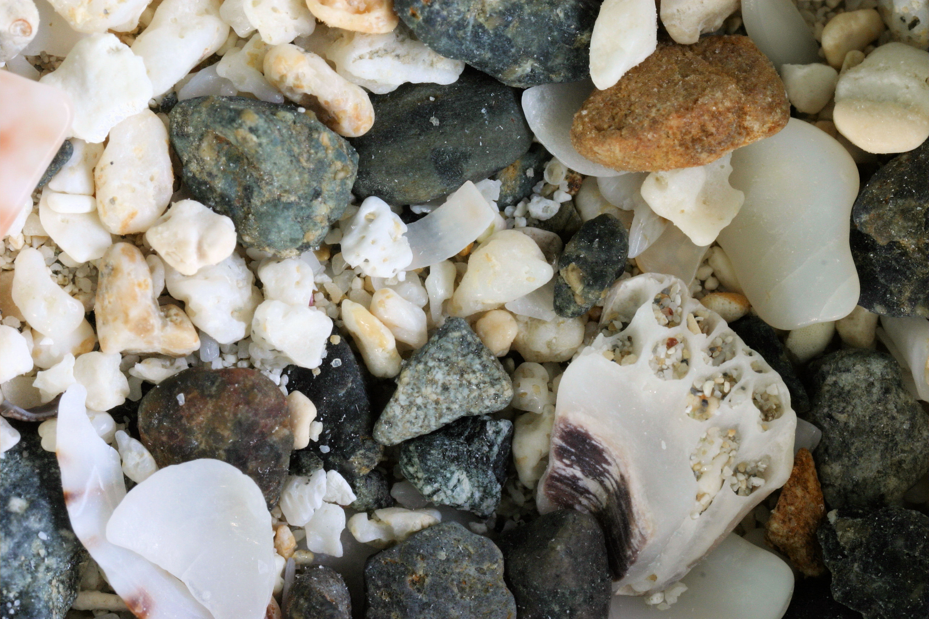
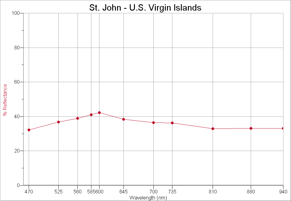
ST. JOHN |
|
 |
Lily Bay, 18.20N,
64.48W
Little
Maho Bay, 18.30N, 64.60W |
  |
|
|
LOCATION |
IMAGE THUMBNAIL &
SPECTRA THUMBNAIL |
|
Return to Top |
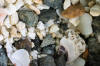
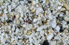
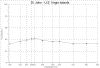
PUERTO RICO |
|
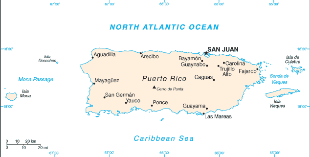 |
ISLE VERDE BEACH, SAN JUAN
18.41N, 66.07W
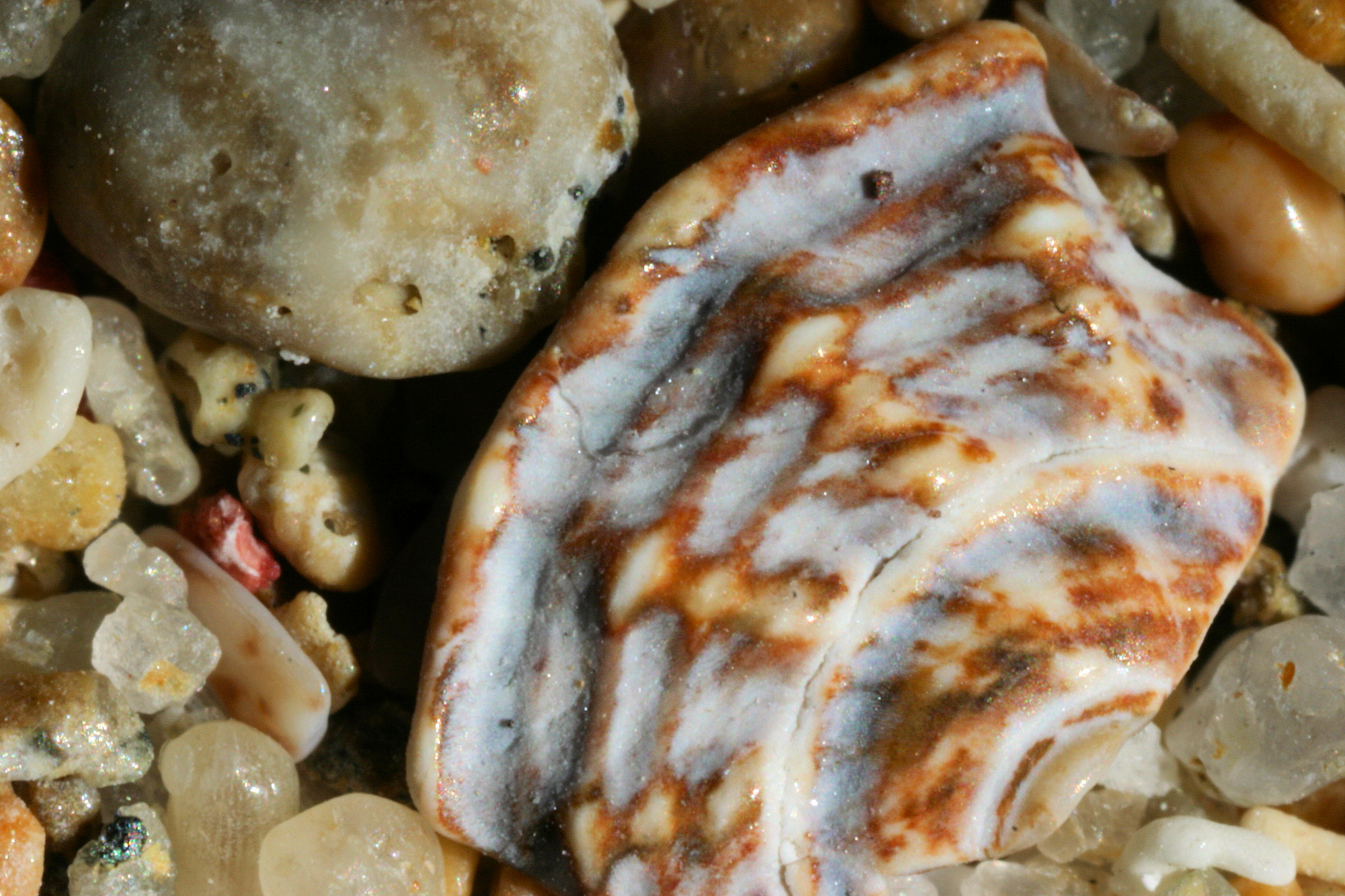
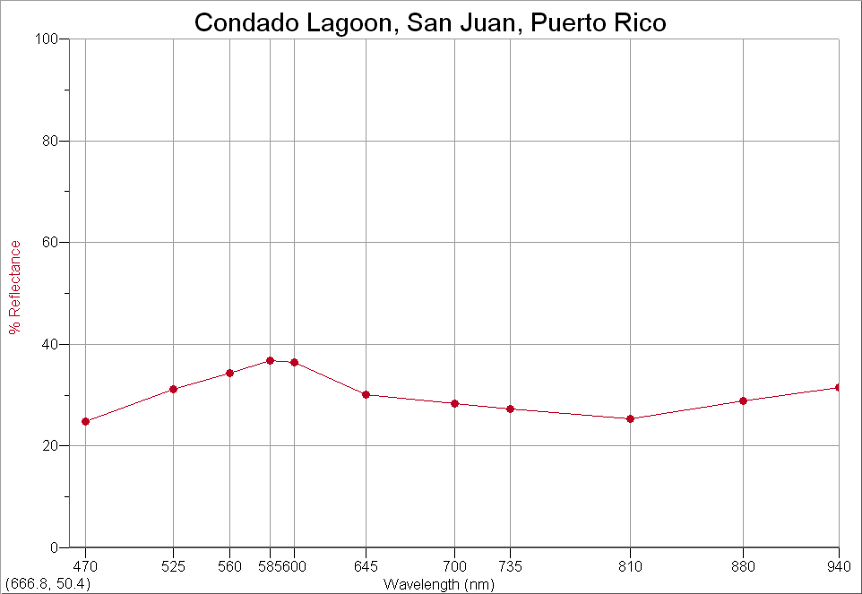
CONDADO
LAGOON, SAN JUAN 18.46N, 66.08W
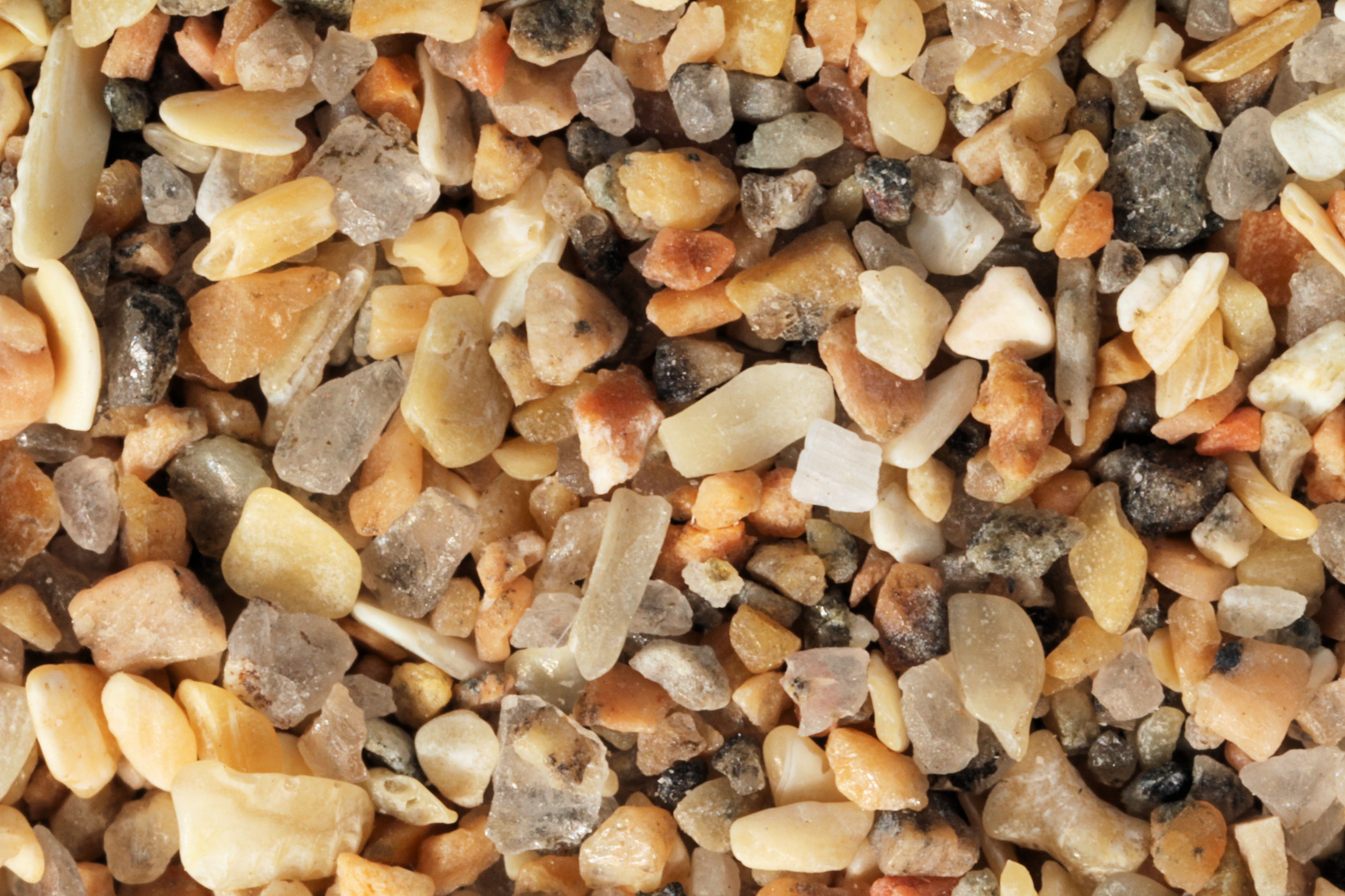
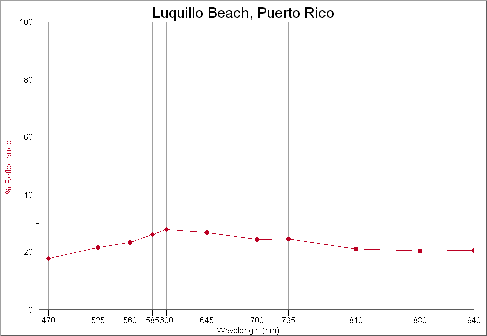
LUQUILLO
BEACH 18.38N, 65.72W
BLACK
SAND BEACH, VIEQUES ISLAND - 18.15N,
66.30W |
 |
|
|
LOCATION |
IMAGE THUMBNAIL &
SPECTRA THUMBNAIL |
|
Return to Top |
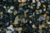
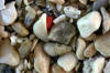
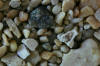
ST. MAARTIN |
|
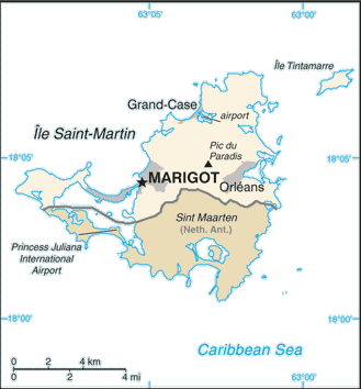 |
Grand Case 18.10N, 63.04W
Marigot 18.06N, 63.08W
Mullet Bay
Simpson Bay
Orient Bay 18.02N, 63.04W
Great Bay
Philipsburg, 18.01N,
63.03W |
 |
|
|
LOCATION |
IMAGE THUMBNAIL &
SPECTRA THUMBNAIL |
|
Return to Top |
NEVIS |
|
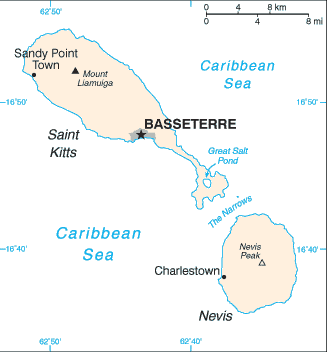 |
Nevis 17.20N, 62.45W |
 |
|
|
LOCATION |
IMAGE THUMBNAIL &
SPECTRA THUMBNAIL |
|
Return to Top |
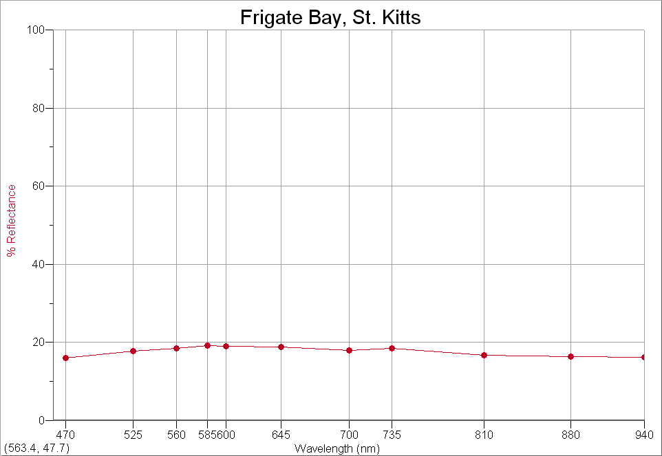
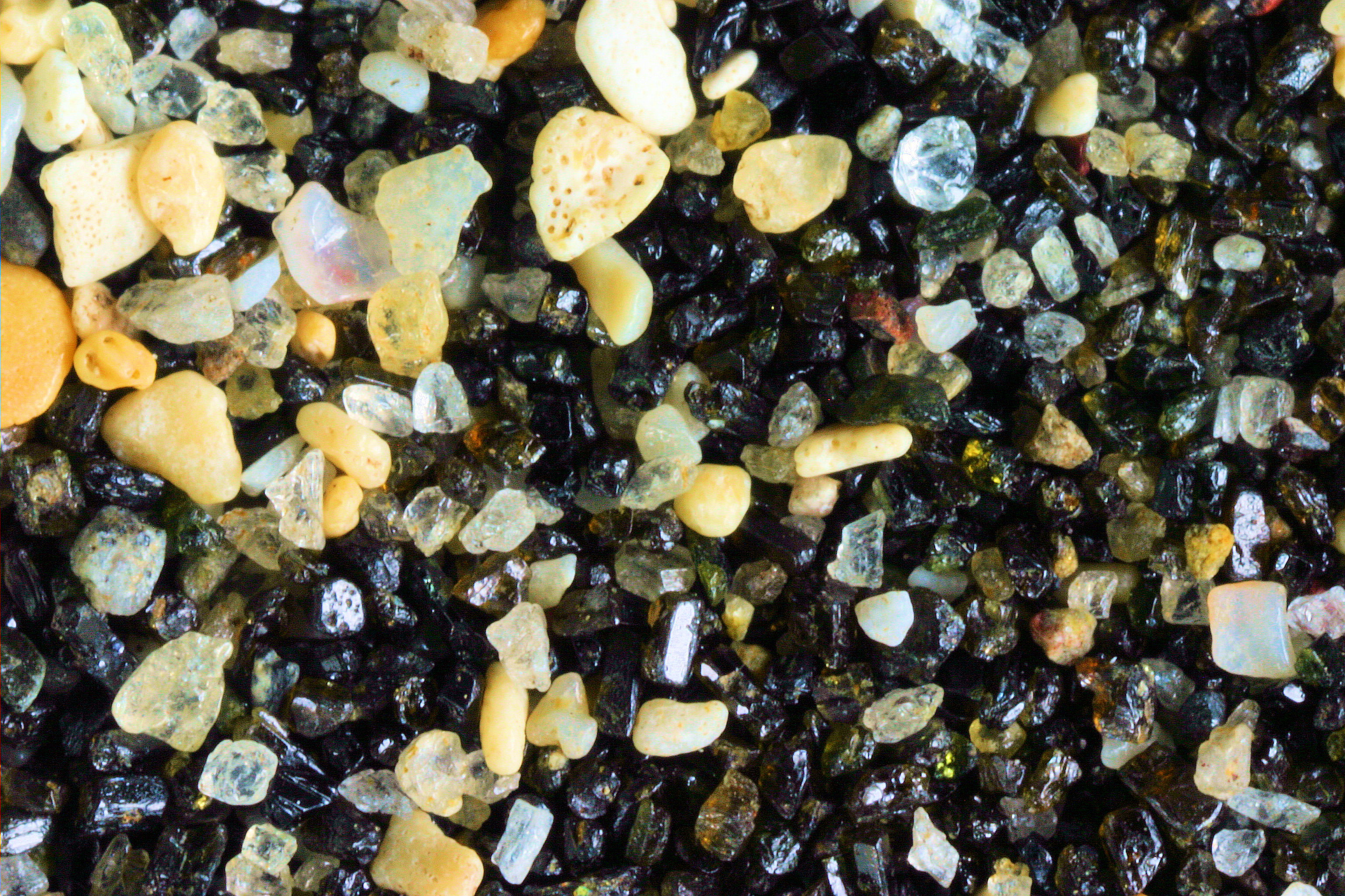
ST. KITTS |
|
|
|
Frigate Bay Basseterre 17.27N, 62.68W
St. Kitts 17.20N, 62.45W |
 
 |
|
|
LOCATION |
IMAGE THUMBNAIL &
SPECTRA THUMBNAIL |
|
|
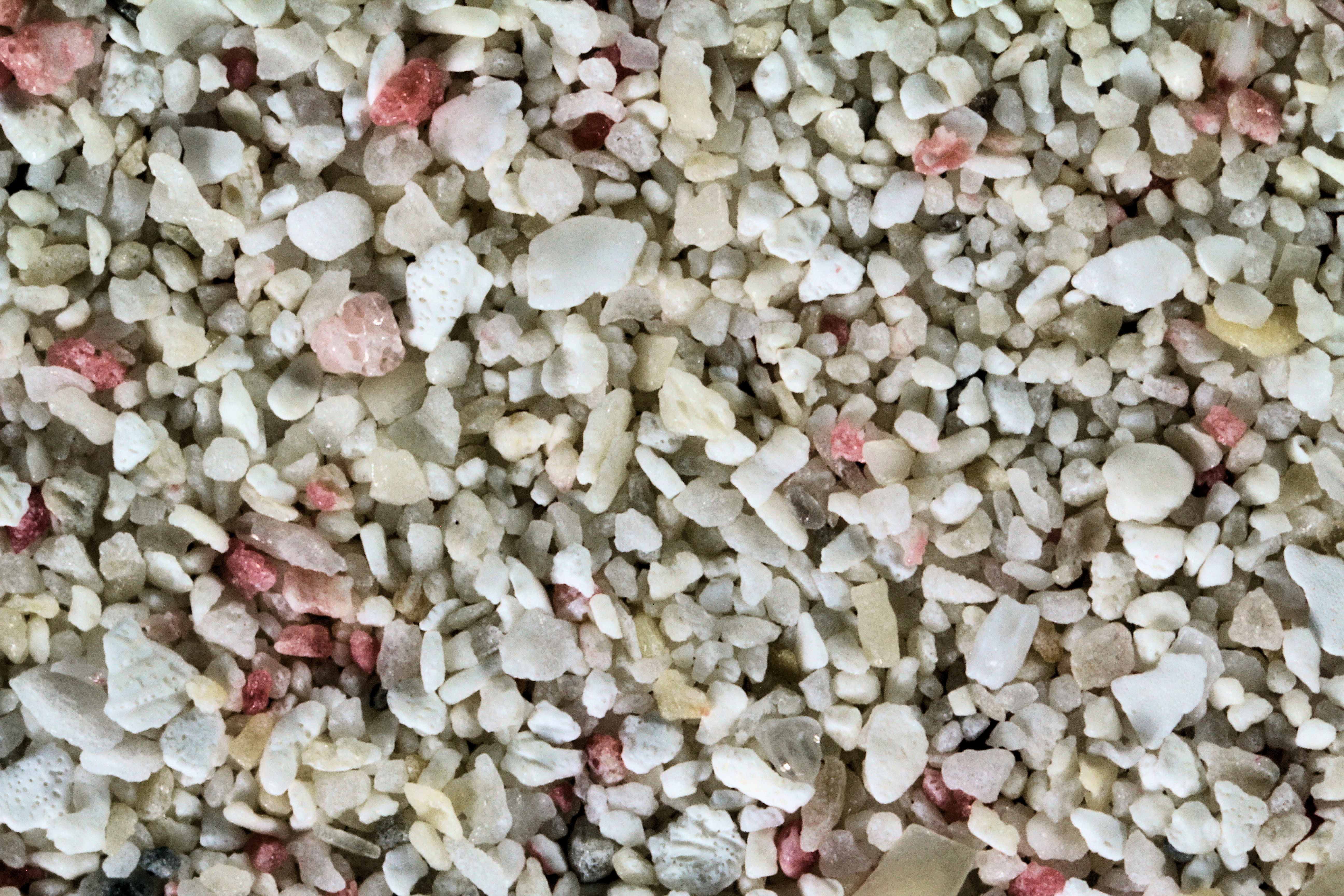
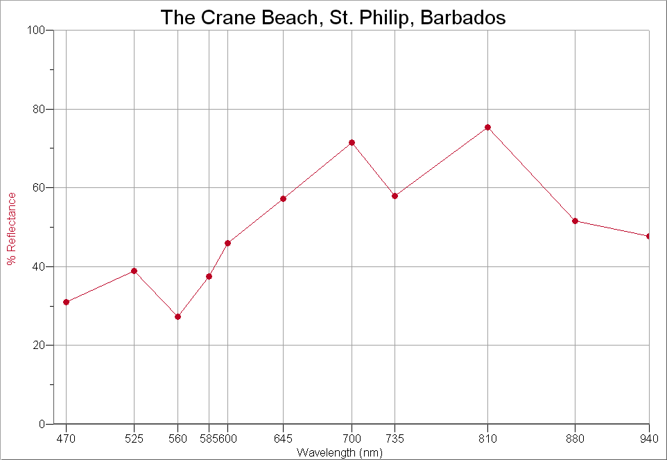
BARBADOS |
|
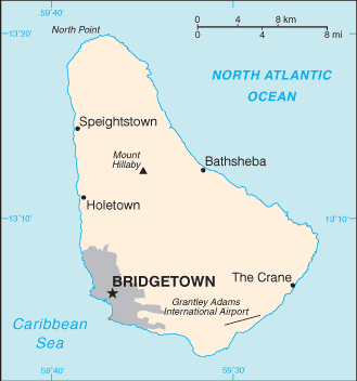 |
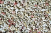
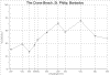
THE CRANE BEACH, ST. PHILIP 13.00N, 59.50W |
  |
|
|
|
|
|
|
LOCATION |
IMAGE THUMBNAIL &
SPECTRA THUMBNAIL |
|
Return to Top |
ARUBA |
|
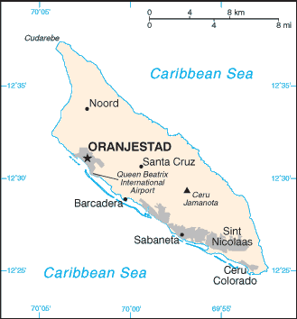 |
Palm Beach, 12.30N,
69.58 W |
 |
|
Return to Top |
LOCATION |
IMAGE THUMBNAIL &
SPECTRA THUMBNAIL |
|
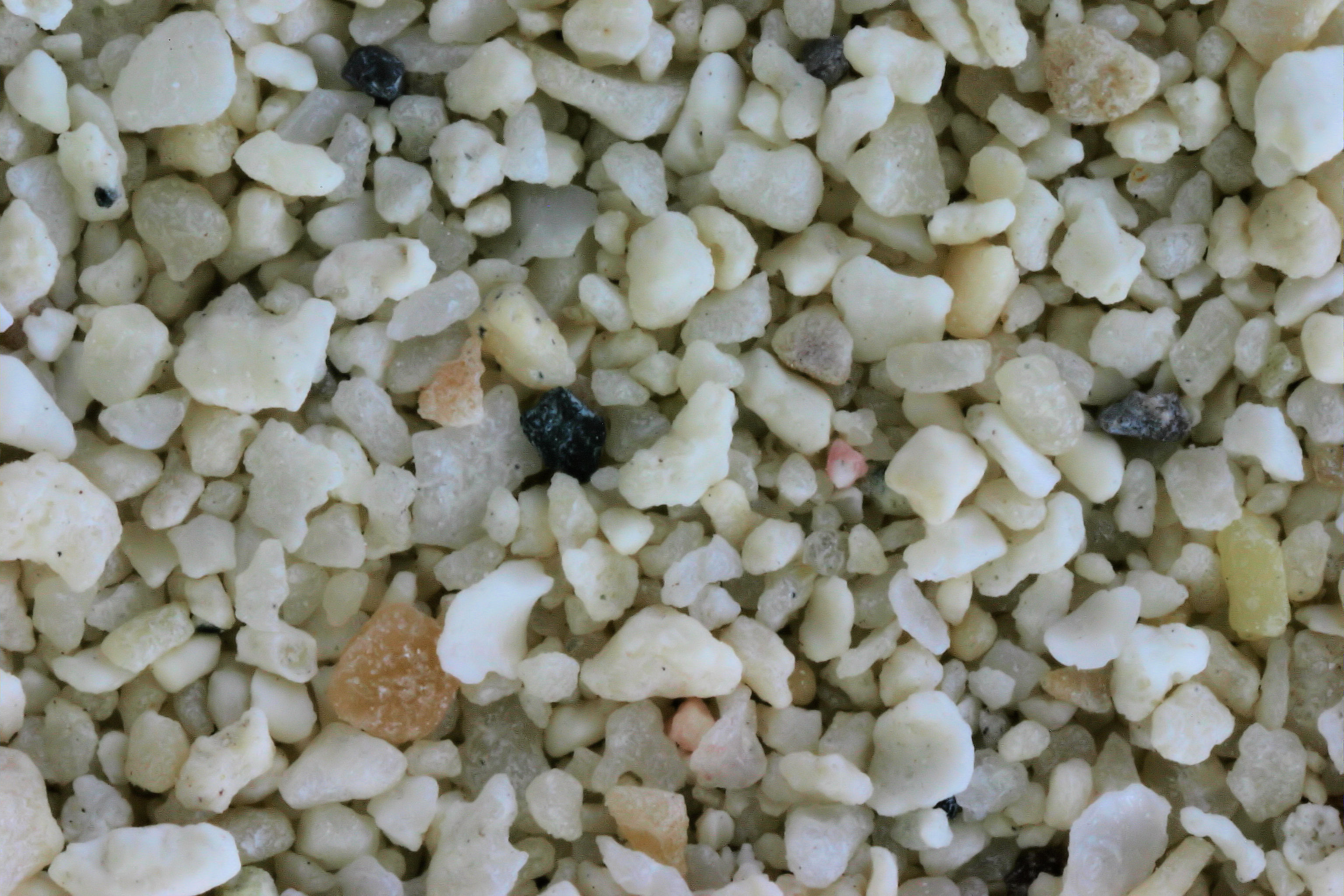
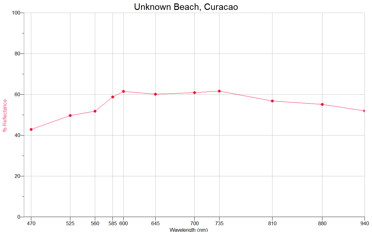
CURACAO |
CURACAO |
|
 |
LAGUN 12.32N, 69.15W |
  |
|
|
|
|
|
Return to Top |
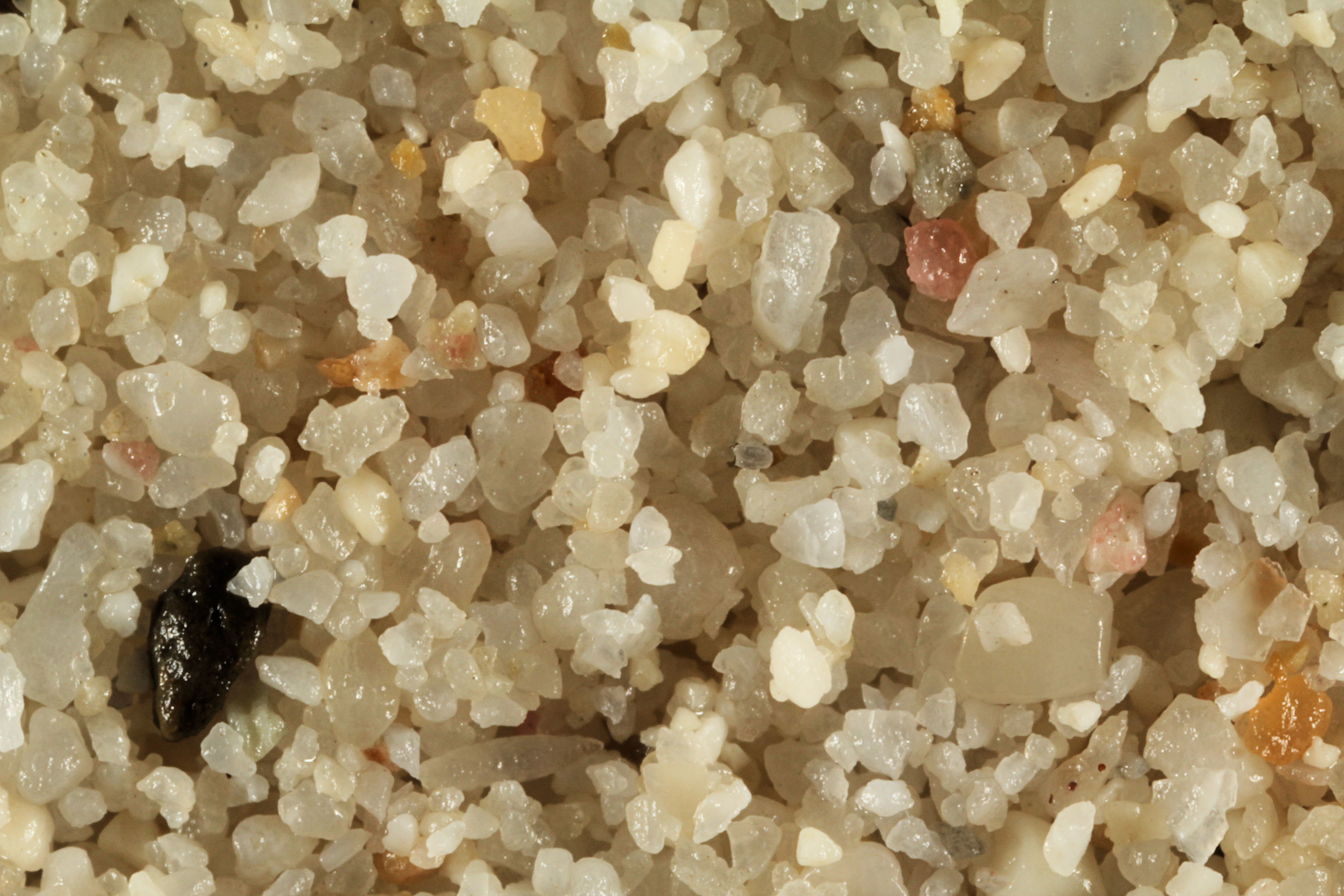
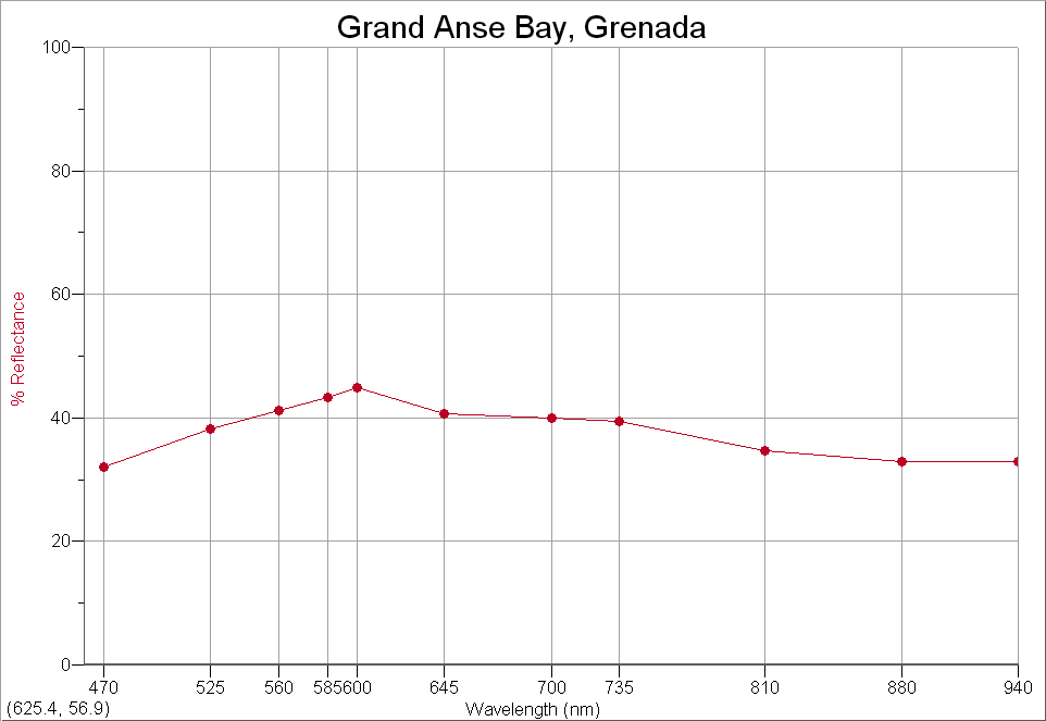
GRENADA |
|
 |
GRAND ANSE BAY - 12.03N, 61.76W |
  |
|
|
LOCATION |
IMAGE THUMBNAIL &
SPECTRA THUMBNAIL |
|
Return to Top |
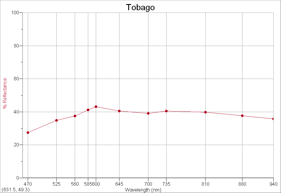
TOBAGO |
|
 |
STORE BAY - ≈11.00N,
≈61.00 W |
  |