|
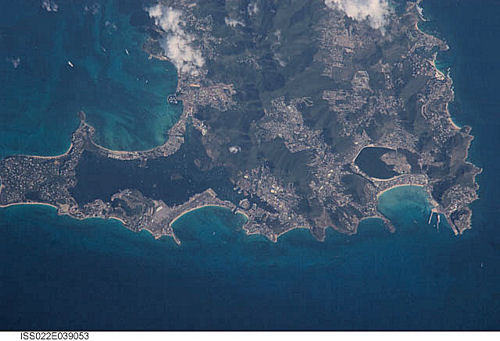
International Space Station
800mm Photograph
Image credit:
Image Science and Analysis
Laboratory, NASA Johnson Space Center (http://eol.jsc.nasa.gov)
|
|
|
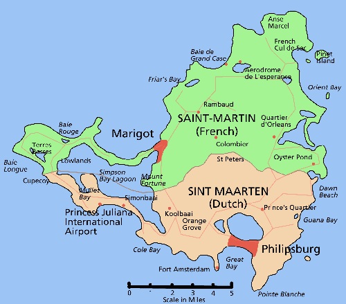
"Sint Maarten/St Martin is a small
Caribbean island, approximately 37 square miles,
divided between two nations. The northern side is
French St Martin, while the southern side is Dutch
Sint Maarten.
The island has a long history of inhabitants
beginning with the Arawak Indians, living in
peaceful farming and fishing communities. The island
was known as Soualiga (land of salt). Discovered by
Spain in 1493, Christopher Columbus arrived on
November 11, the feast day of Saint Martin of Tours,
and named the island for the saint.
The colonial years saw numerous European nations
fighting over this 37 square miles, mostly due to a
lucrative salt harvest. Between 1648 and 1817, the
island changed hands more than 16 times. Forts were
built to defend against invading navies. Two of
these forts remain accessible, Fort Louis in Marigot
(French side) and Fort Amsterdam overlooking
Phillipsburg (Dutch Side,) and are tourist
attractions today.
The island has over 36 beaches, plus the inner
island lagoon." B. Wemyss |
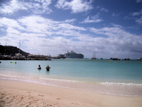
GREAT BAY
 |
|
|
B. Sabonis Photograph |
|
 |
 |
|
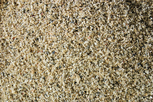
ZERO
MAGNIFICATION IMAGE |
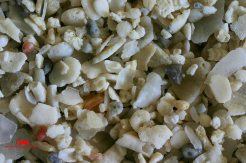
3X MAGNIFICATION (RED
LINE = 1MM) |
|
|
|
|
MARIGOT |
|
|
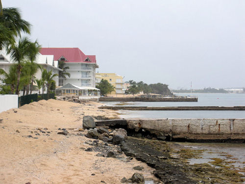
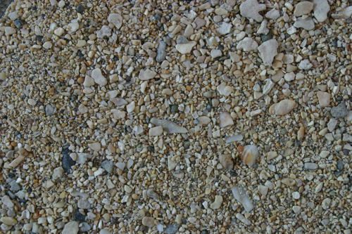
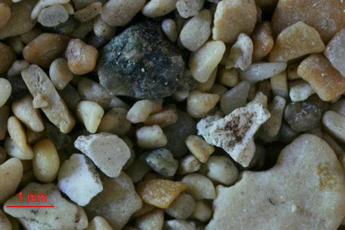
"This sample is from the northwest side of the island - from
the French side capital Marigot. Marigot sits below Fort
Louis and the first picture is looking up to the fort. Look
all the way toward the top of the photo for the French flag
to see the fort. It was cloudy and rainy, not the best
day for shooting images, but a day that got us off the beach
to go gather sand." B. Wemyss |
 |
|
|
B. Wemyss
Photograph |
|
 |
 |
|
ZERO
MAGNIFICATION IMAGE |
3X MAGNIFICATION (RED
LINE = 1MM) |
|
|
|
|
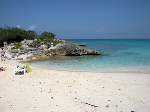
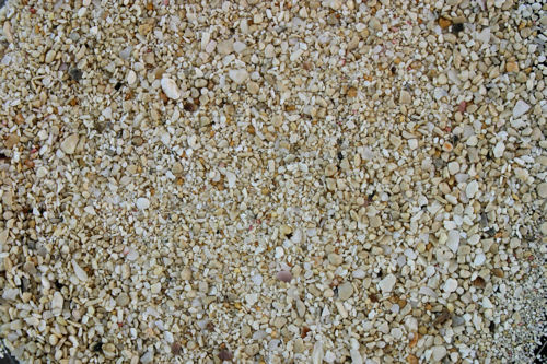
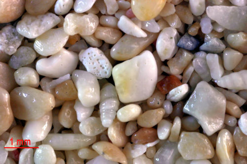
MULLET BAY COVE |
|
|
"This sample is a small cove on the Dutch
western potion of the island, just south of Cupecoy." B.
Wemyss |
 |
|
|
B. Wemyss
Photograph |
|
 |
 |
|
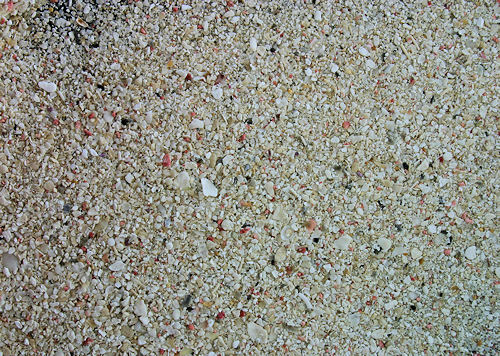
ZERO
MAGNIFICATION IMAGE |
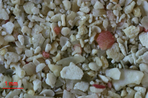
3X MAGNIFICATION (RED
LINE = 1MM) |
|
|
|
|
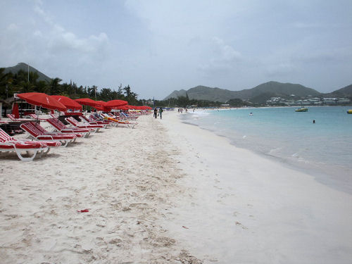
ORIENT |
|
|
"The French side's most famous beach, Orient Beach, is on
the Northeast side of the island. Orient Beach is world
known as clothing optional. Nudity is common. The beach has
many lunch spots and bars, as well as boat rides. " B.
Wemyss |
 |
|
|
B. Wemyss
Photograph |
|
 |
 |
|
ZERO
MAGNIFICATION IMAGE |
3X MAGNIFICATION (RED
LINE = 1MM) |
|
|
|
|
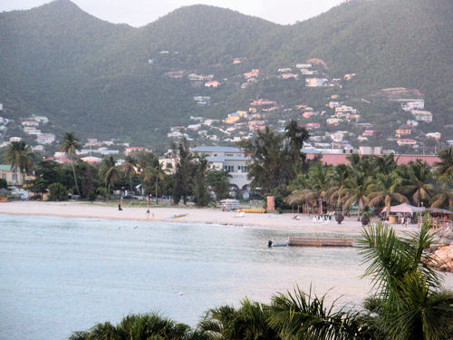
SIMPSON BAY |
|
|
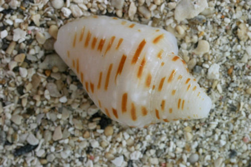
" The beach is sheltered, making it a good family beach with
calm waters. The beach is southwest on the island,
just eastward of Princess Julianna Airport." B. Wemyss |
 |
|
|
B. Wemyss
Photograph |
|
 |
 |
|
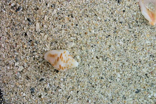
ZERO
MAGNIFICATION IMAGE |
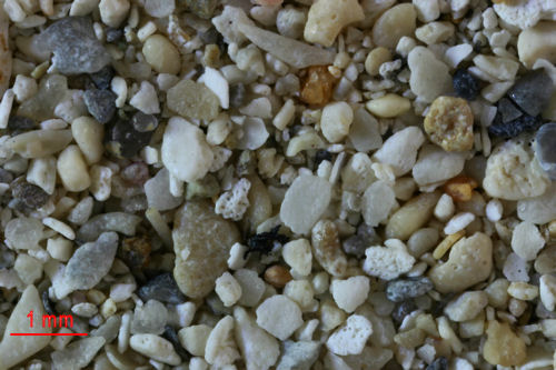
3X MAGNIFICATION (RED
LINE = 1MM) |
|
|
|
 |
 |
|
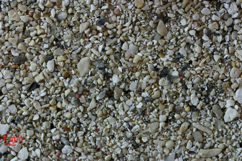
1X MAGNIFICATION (RED
LINE = 1MM) |
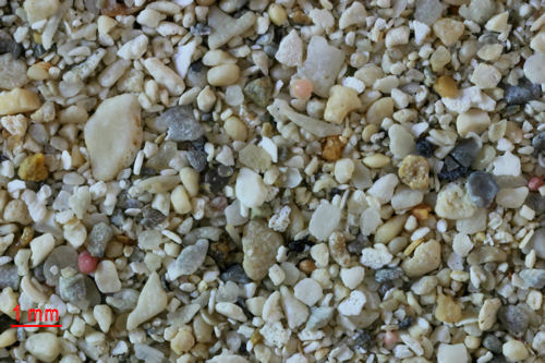
2X MAGNIFICATION (RED
LINE = 1MM) |
|
|
|
|
GRAND CASE |
|
|
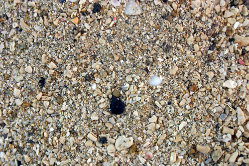
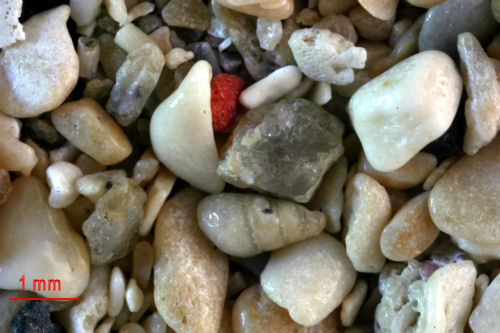
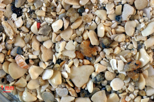
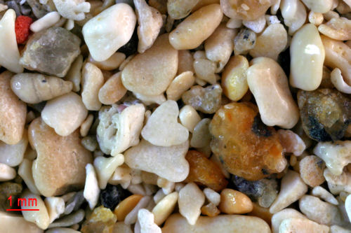
"This sample is from the northern section of the island, a
small French fishing village named Grand Case. Grand Case is
home to many of the island's gourmet restaurants, my
favorite being L'Auberge Gourmand. The beach is quiet and
local fishermen leave from here to go fishing. Not many
tourists hang out here during the day, but arrive hungry at
night." B. Wemyss |
|
|
|
|
 |
 |
|
ZERO
MAGNIFICATION IMAGE |
3X MAGNIFICATION (RED
LINE = 1MM) |
|
|
|
 |
 |
|
1X MAGNIFICATION (RED
LINE = 1MM) |
2X MAGNIFICATION (RED
LINE = 1MM) |
|
|
|
