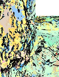
CLICK ON IMAGE TO GO TO USGS SITE |
LOCATION |
3X IMAGE CLICK ON IMAGE FOR HIGH RES. |
|
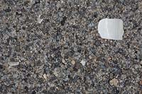
| Bear Lake 42.00N, 111.33W |
 |
|
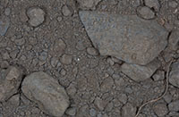
| Willard 41.41N, 112.04W |
 |
|
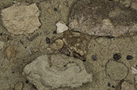
| Salt Flats Near Salina (2 Samples) - Approx.38.95N, 111.86W |
 |
|
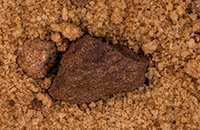
| Arches Nat. Pk. (4 Samples), Moab 38.70N, 109.56W |
 |
|
| "Battleship" Formation on I-70, Moab - Approx 38.70N, 109.50W |
 |
|
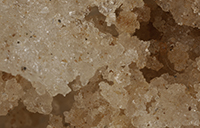
| Potash Processing Plant Approx 38.57N, 109.55W |
 |
|
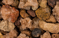
| Goblin Valley State Park (3 Samples) 38.57N, 110.71W |
 |
|
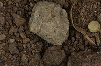
| Colorado River, Dead Horse Point State Park 38.51N, 109.74W |
 |
|
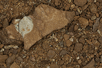
| La Sal Mountain Loop Road - Approx. 38.44N, 109.24W |
 |
|
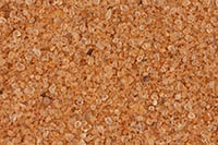
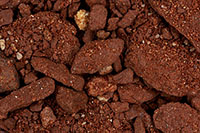
| Hanksville 38.37N, 110.71W |
 |
|
|
 |
|
|
 |
|
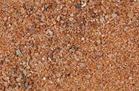
| Boulder 37.92N, 11.43W |
 |
|
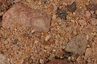
| Cedar City 37.68N, 113.06W |
 |
|
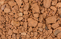
| Bryce National Park (2 Samples) 37.63N, 112.17W |
 |
|
| Natural Bridges National Monument 37.60N, 110.01W |
 |
|
| Kodachrome Basin State Park 37.50N, 112.00W |
 |
|
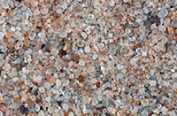
| Unknown Location Virgin River |
 |
|
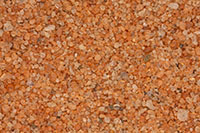
| Snow Canyon, St. George 37.20N, 113.64W |
 |
|
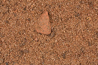
| Zion National Park (4 Samples) 37.20N, 112.99W |
 |
|
| Goosenecks of the San Juan River State Park 37.17N, 109.93W |
 |
|
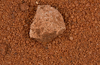
| Red Cliffs National Conservation Area, St. George (2 Samples) 37.16N, 113.54W |
 |
|
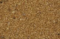
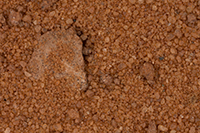
| Coral Pink Sand Dunes State Park (3 Samples) 37.03N, 112.72W |
 |
|
|
 |
|
| |
|
|
| |
|
|
| |
|
|
|