|

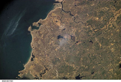
International Space Station
800mm Photograph
Image credit:
Image Science and Analysis
Laboratory, NASA Johnson Space Center (http://eol.jsc.nasa.gov)
|
EGYPT BEACH , SCITUATE 42.13N,
70.44W

These photos were taken on Egypt Beach in
Scituate, MA. The images depict a berm. A berm is formed by
sediment being piled up by “swash” which is the water that runs up onto
the beach after the wave breaks. The swash picks up sediment and
deposits it forming the berm. The berm pictured was probably formed
during storms because the berm is far above the average tide line. The
berm pictured consists of mostly large smooth flat rocks [called
shingles]. This
berm runs the whole length of the beach. Some berms are man made, during
oil spills, to act as walls and prevent contaminated material from
polluting more of the beach. Berms are common beach features and can be
made of different materials including shells, rocks, sand, and trash.
Images by Caroline K. (Above) and Michael K. (Bottom)
|