Yosemite National Park

                                                                                                                                                                 C. & F.  Lindgren Photographs


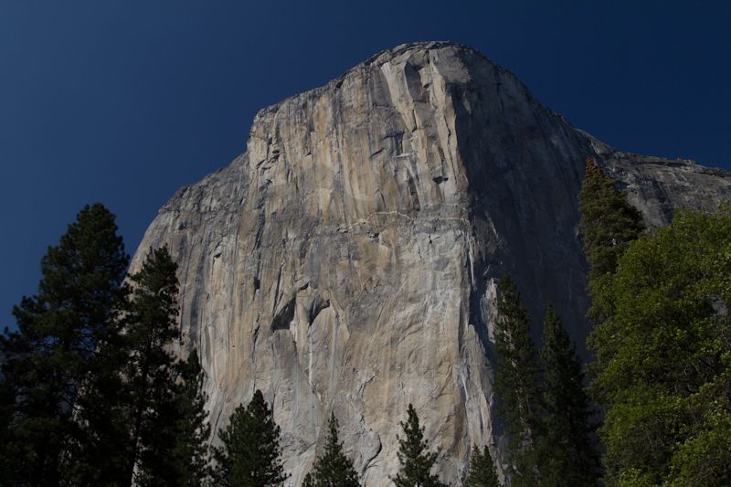
Shown above is El Capitan. This is the feature from Albert B. Dickas'  book  101 American Geo-Sites You've Gotta See  (Mountain Press) . We did a one day drive through of Yosemite and, just by luck, I photographed El Capitan. This place requires days to see. Needless to say, this was only a first trip.


International Space Station 800 mm Image

Image credit:  Image Science and Analysis Laboratory, NASA Johnson Space Center (http://eol.jsc.nasa.gov)


YOSEMITE NATIONAL PARK 37.80N, 119.30W

The link is to the National Park Service's website.

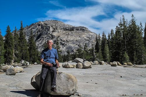
ERRATIC FIELD

GRANITE OUTCROP, ROUTE 120

ROUTE 120 WATERFALL

ROUTE 120 TURNOUT

TENAYA LAKE


ERRATIC FIELD


ZERO MAGNIFICATION  IMAGE

REFLECTANCE SPECTRUM


1X MAGNIFICATION (RED LINE  = 1MM)

1X MAGNIFICATION (RED LINE  = 1MM)

Return to top

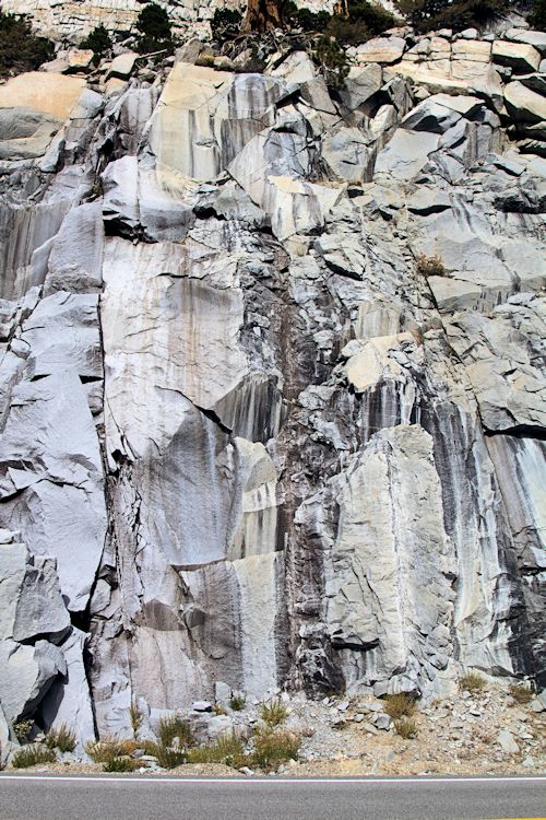
GRANITE OUTCROP, ROUTE 120

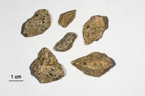
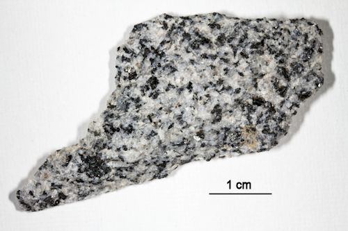
We stopped at an overlook near the entrance to Yosemite. The rock was a pale grey, and had black streaks like water marks running down it. On closer examination the rock was granite! I thought it was some type of sedimentary. I was wrong. The only accurate reflectance spectrum could possibly come from the flat fragment (see below) I collected.  All of the sand grain fragments were too irregular for an accurate reading.
ZERO MAGNIFICATION  IMAGE

REFLECTANCE SPECTRUM

1X MAGNIFICATION (RED LINE  = 1MM)

1X MAGNIFICATION (RED LINE  = 1MM)

Return to top


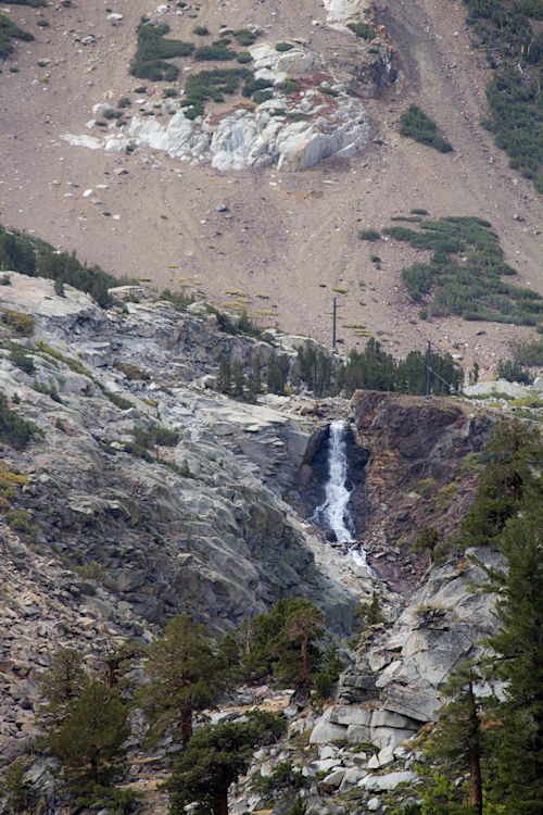
ROUTE 120 WATERFALL


ZERO MAGNIFICATION  IMAGE


1X MAGNIFICATION (YELLOW LINE  = 1MM)

1X MAGNIFICATION (BLACK LINE  = 1MM)

Return to top


ROUTE 120 TURNOUT


ZERO MAGNIFICATION  IMAGE

REFLECTANCE SPECTRUM

1X MAGNIFICATION (YELLOW LINE  = 1MM)

1X MAGNIFICATION (YELLOW LINE  = 1MM)


Return to top

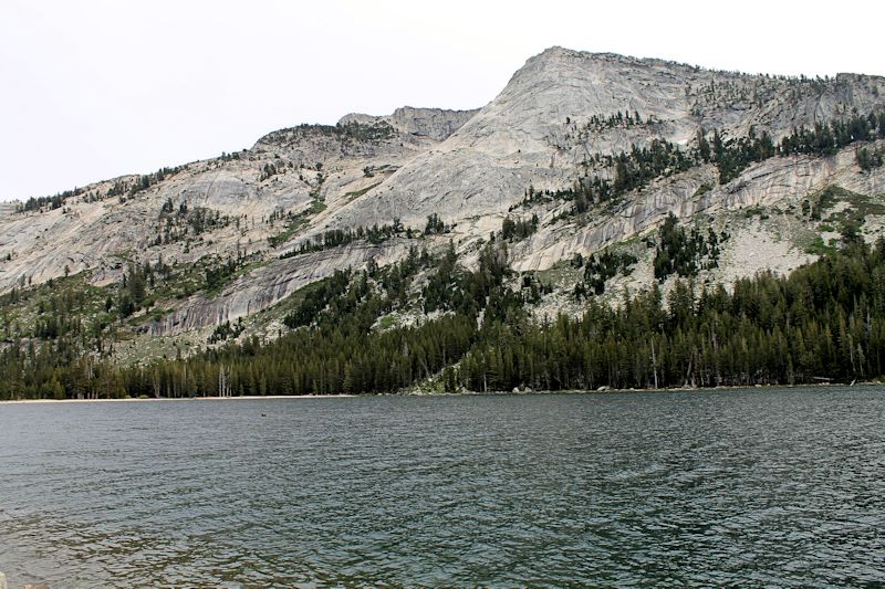
TENAYA LAKE

                                                                                                                                                                 B. Wemyss Photograph


ZERO MAGNIFICATION  IMAGE

REFLECTANCE SPECTRUM


1X* MAGNIFICATION (YELLOW LINE  = 2MM)

1X* MAGNIFICATION (YELLOW LINE  = 2MM)

Return to top

Return to California Sand to view high resolution versions of all California images. Click the thumbnails above to view high resolution versions of these images.

Return to USA Map

Return to Home