|

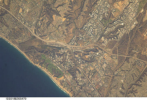
International Space Station
800mm Photograph
Image credit:
Image Science and Analysis
Laboratory, NASA Johnson Space Center (http://eol.jsc.nasa.gov)
|
TORREY PINES STATE PARK 32.93N, 117.26W
The link is to a description of the
geology of the cliff in the large image shown above. Enjoy!
"On assignment at Torrey Pines State
Preserve in San Diego, CA. Lured by promises of embedded
fossils, we visited Torrey Pines State Beach. We wanted to
see the well known cliffs and, of course, collect sand.
Fossils. I had mental images of Tyrannosaurus Rex sandwiched
between countless years of sediment rock. We did find
fossils, but they were more routine, ordinary fossils of
marine shells. No T Rex.
The cliffs are approximately 60 to 100 feet tall and drop
sharply down to meet the Pacific Ocean. The cliffs are
unstable, as signs clearly warned. Occasionally, our local
newspaper carries reports of rock slides. Evidence of this
is visible, and beach walkers most stayed away from the base
of the cliffs. We stayed away too, except for the times I
sent my husband to stand at the very bottom to be in the
picture." - B. Wemyss
B. Wemyss Photographs
|