|
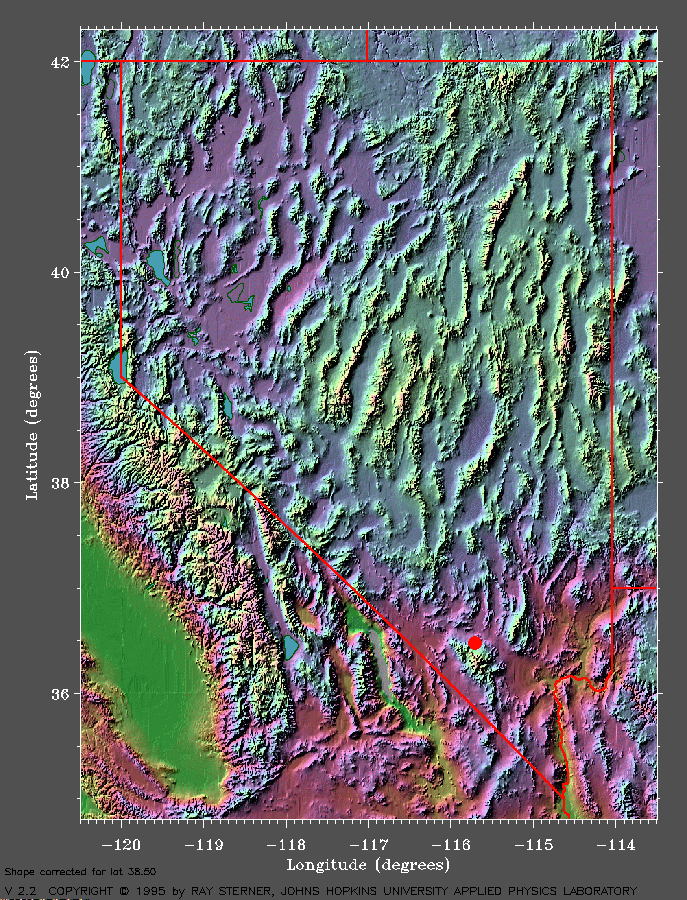
LOCATION |
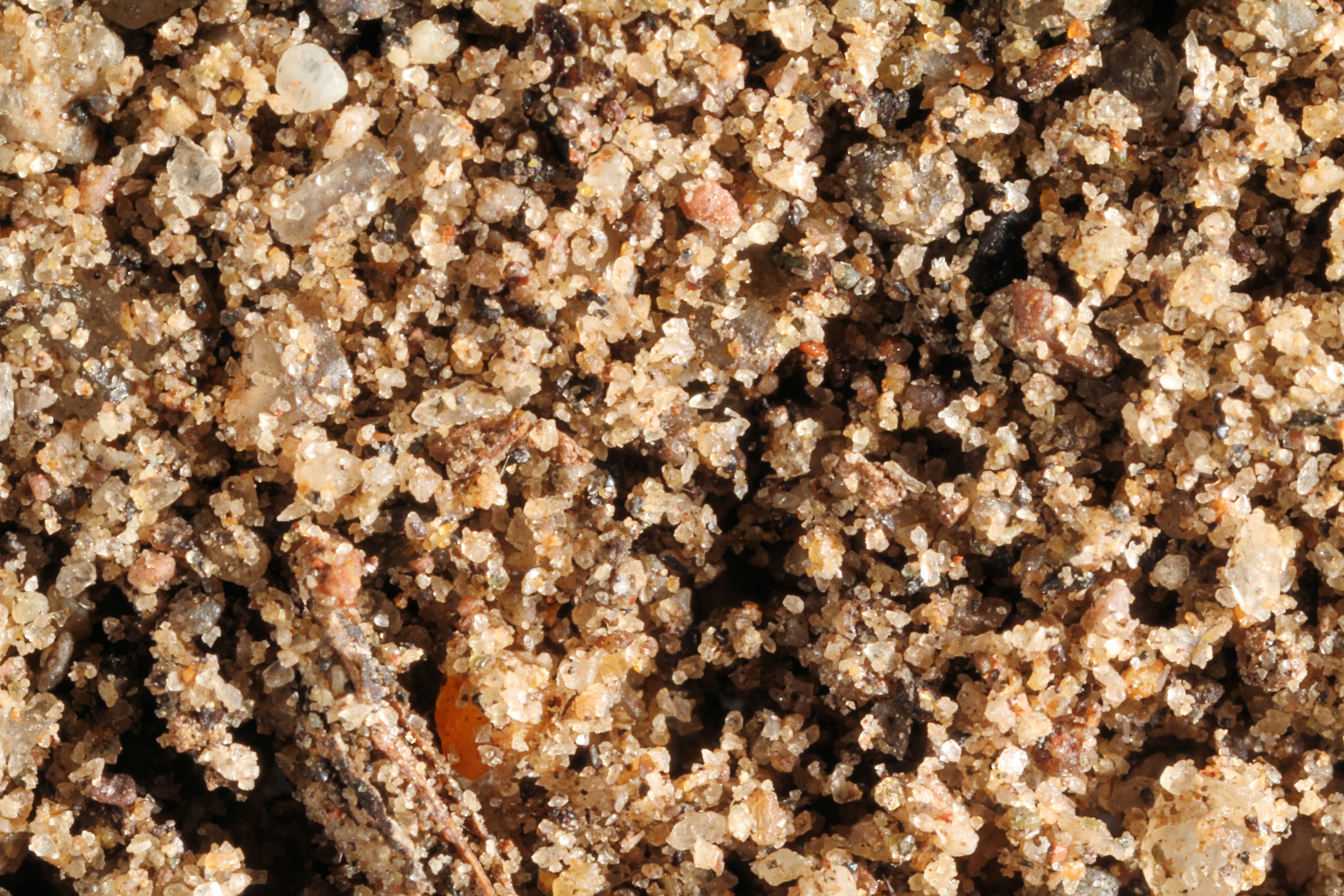
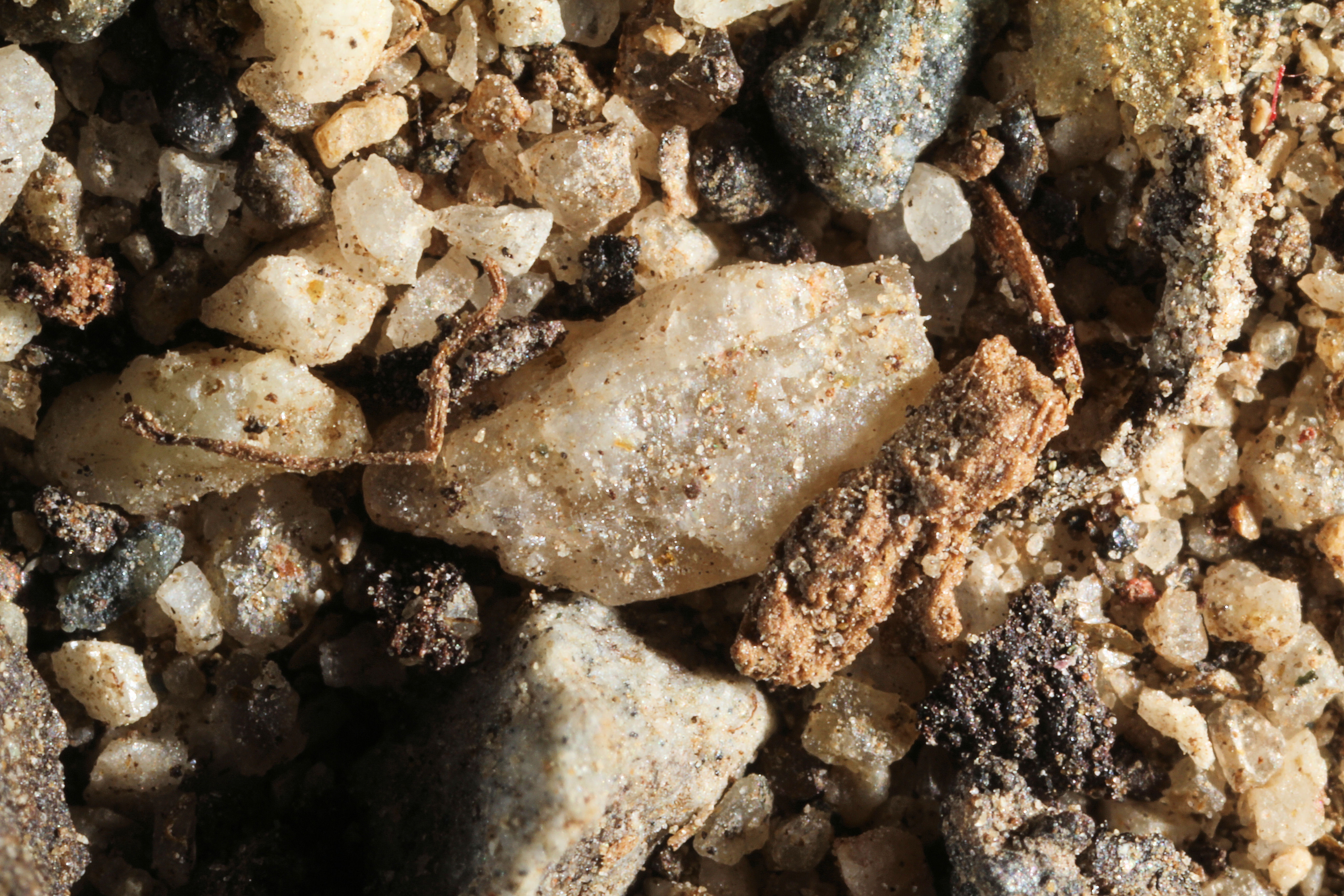
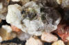
THUMBNAIL IMAGE |
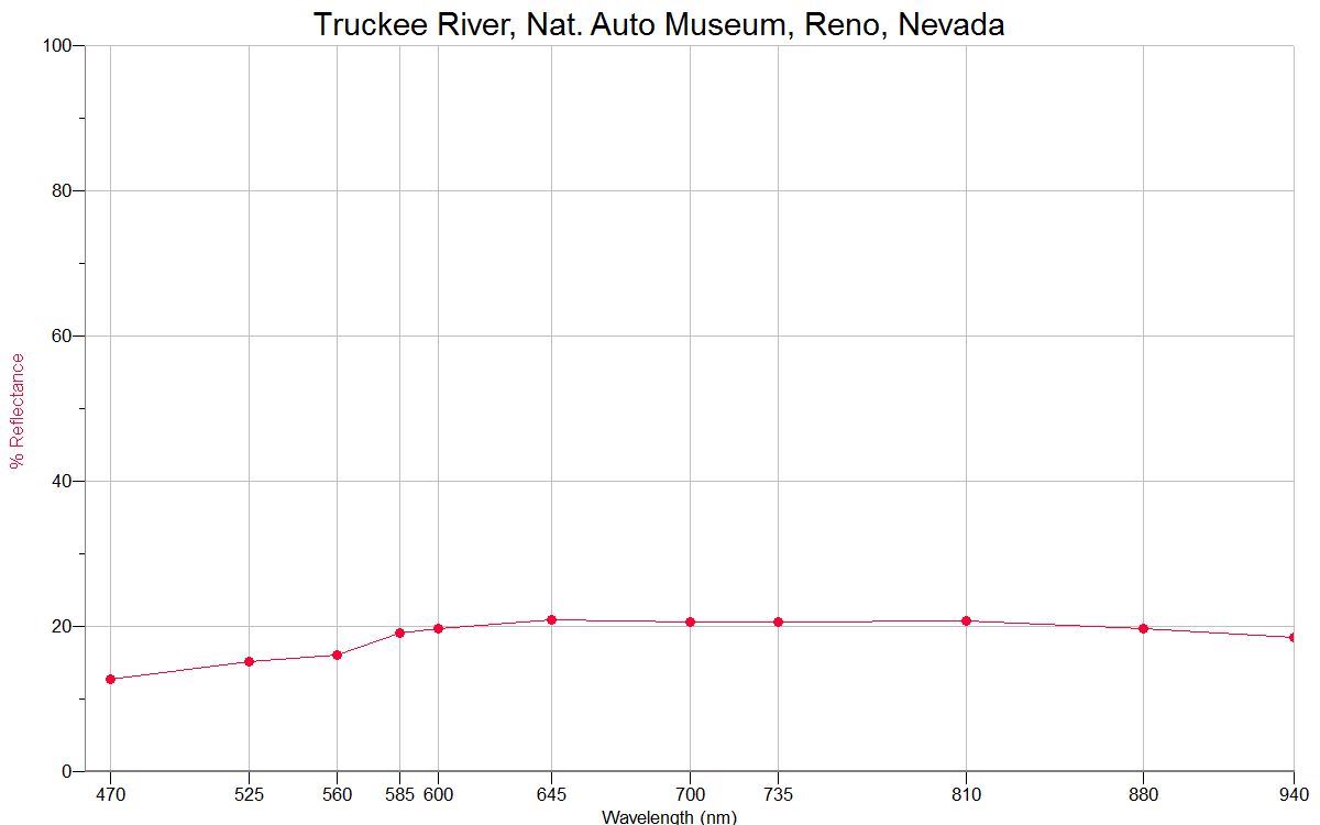
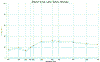
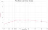
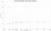
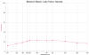
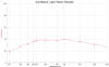
REFLECTANCE
SPECTRA |
|
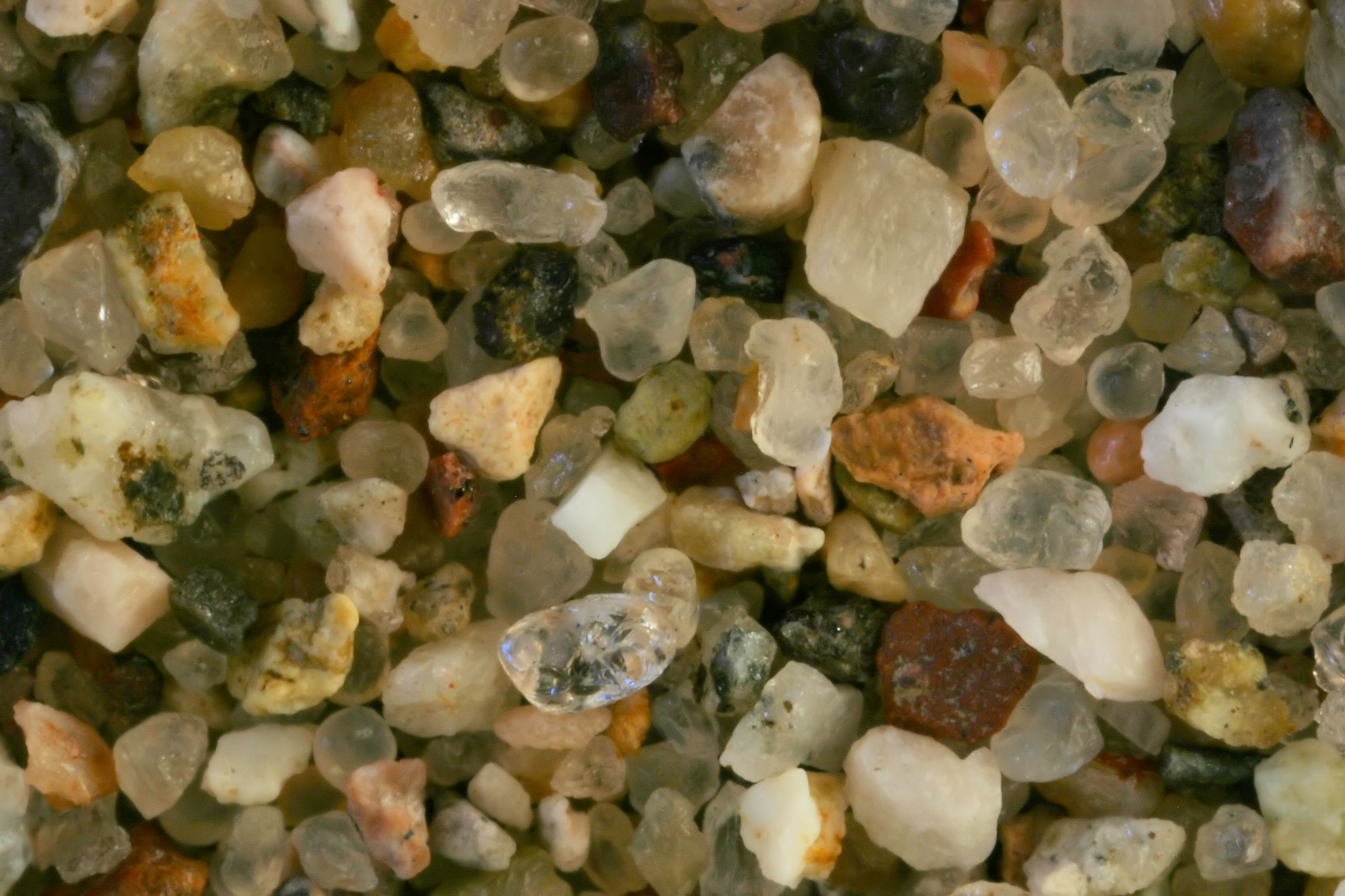
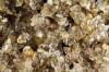
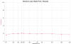
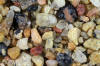
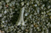
TRUCKEE RIVER RENO 39.53N, 119.82W |
 |
 |
|
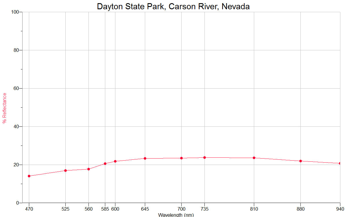
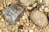
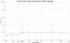
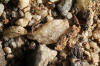
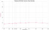
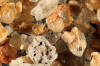
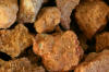
DAYTON STATE PARK, CARSON RIVER 39.25N, 119.59W |
 |
 |
|
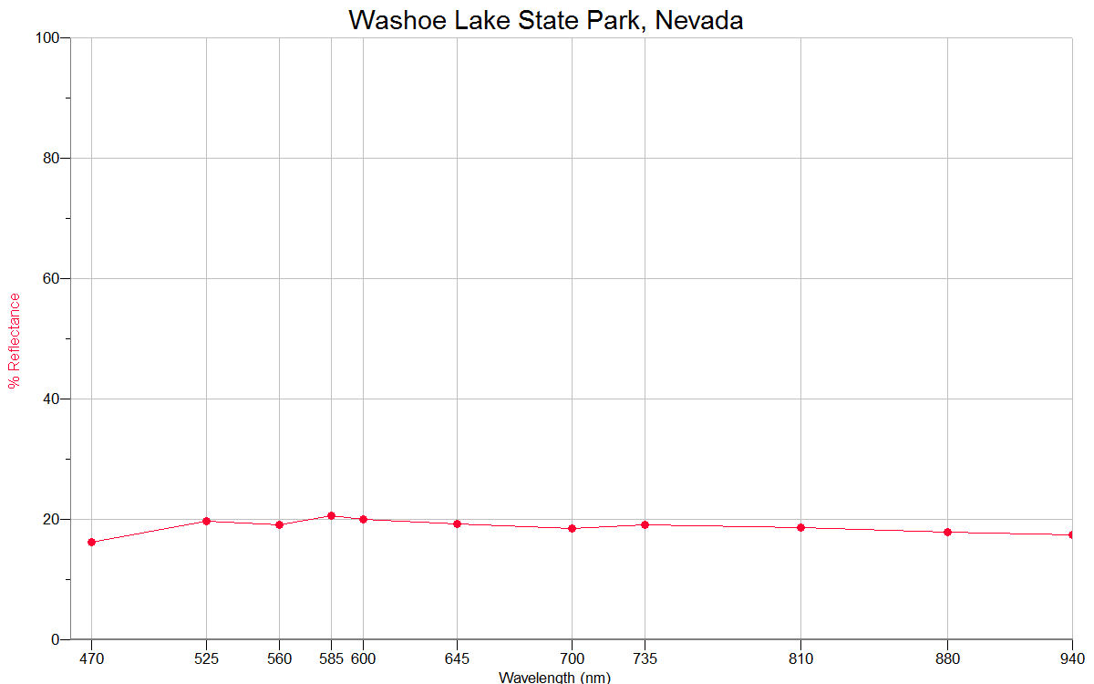
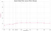
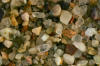
WASHOE LAKE STATE
PARK 39.25N, 119.79W |
 |
 |
|
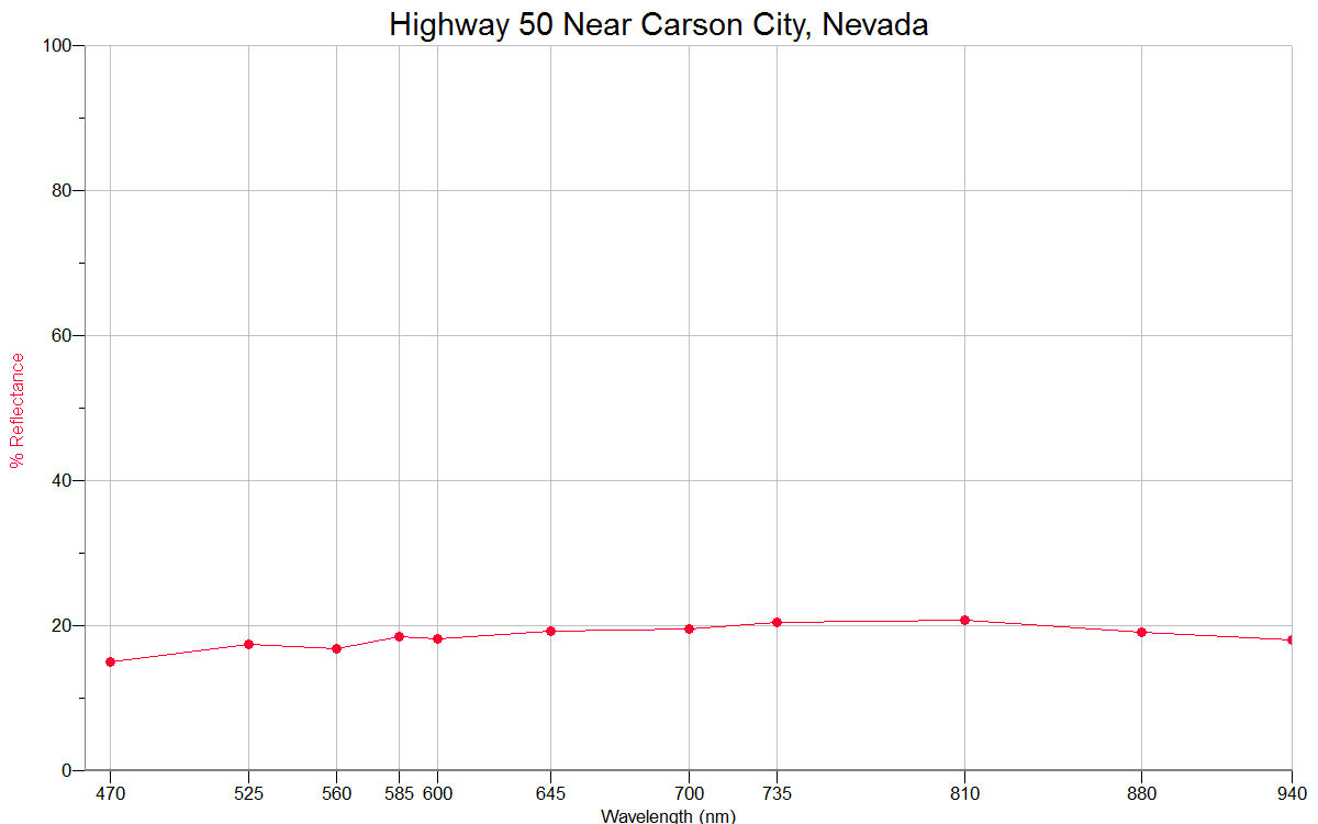
HIGHWAY 50 NEAR CARSON CITY 39.16N, 119.75W
|
 |
 |
|
LAKE TAHOE
(6 SAMPLES) 39.00N, 119.95W |
|
|
|
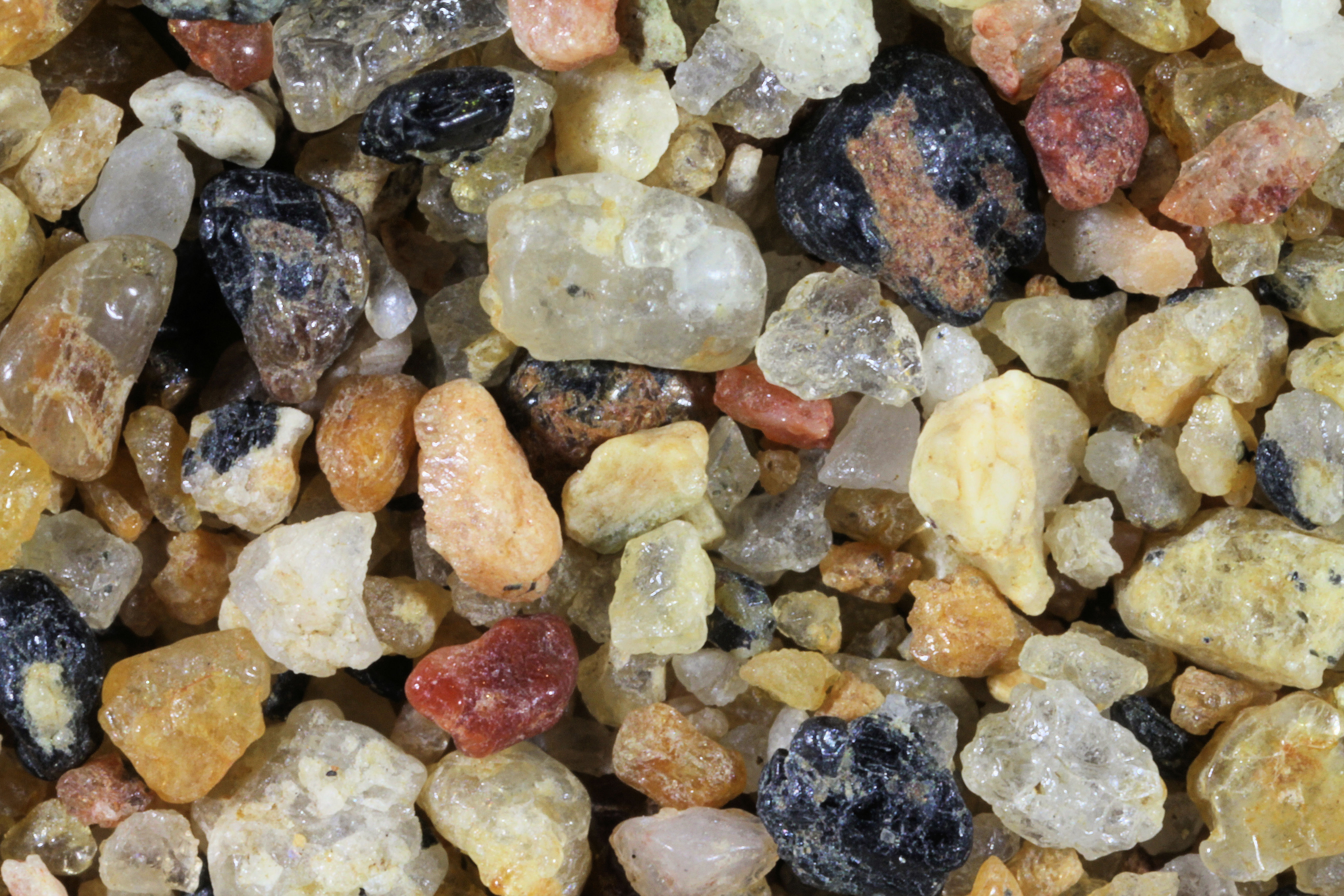
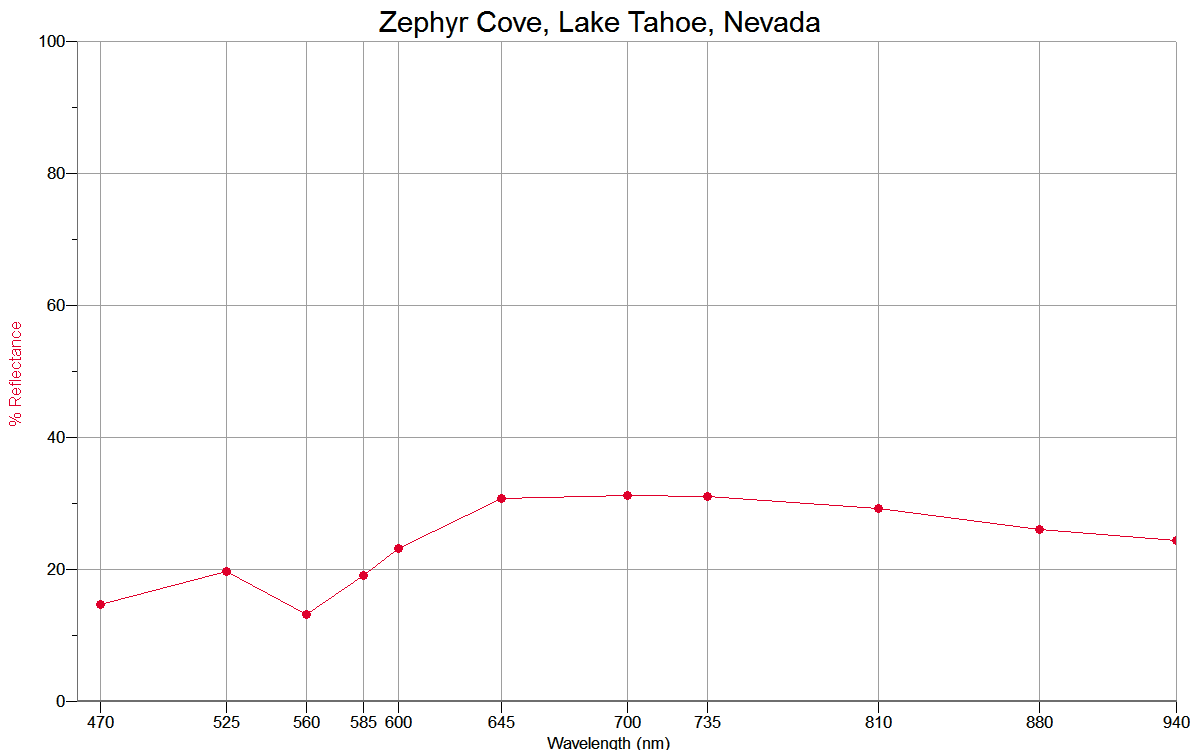
ZEPHYR COVE
|
 |
 |
|
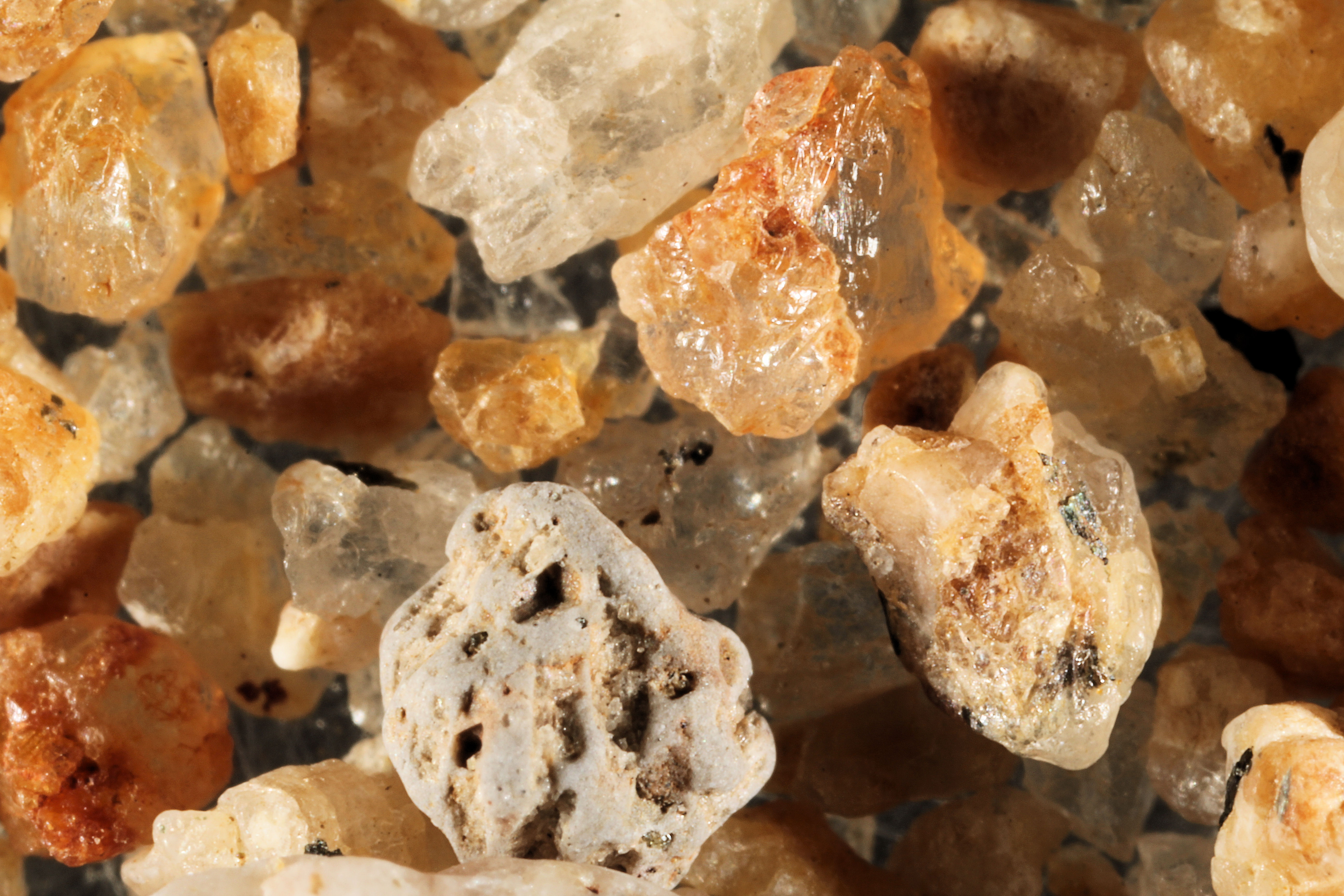
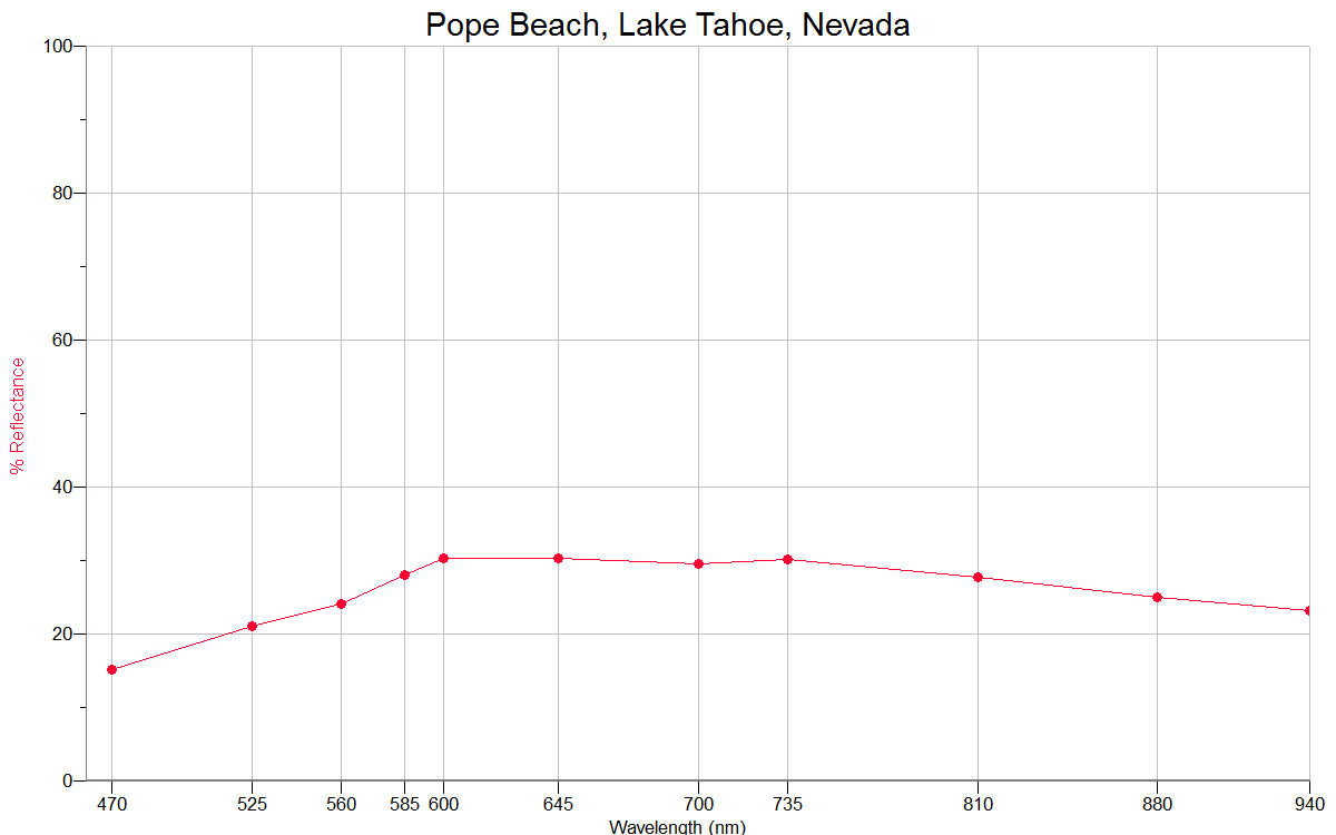
POPE BEACH
|
 |
 |
|
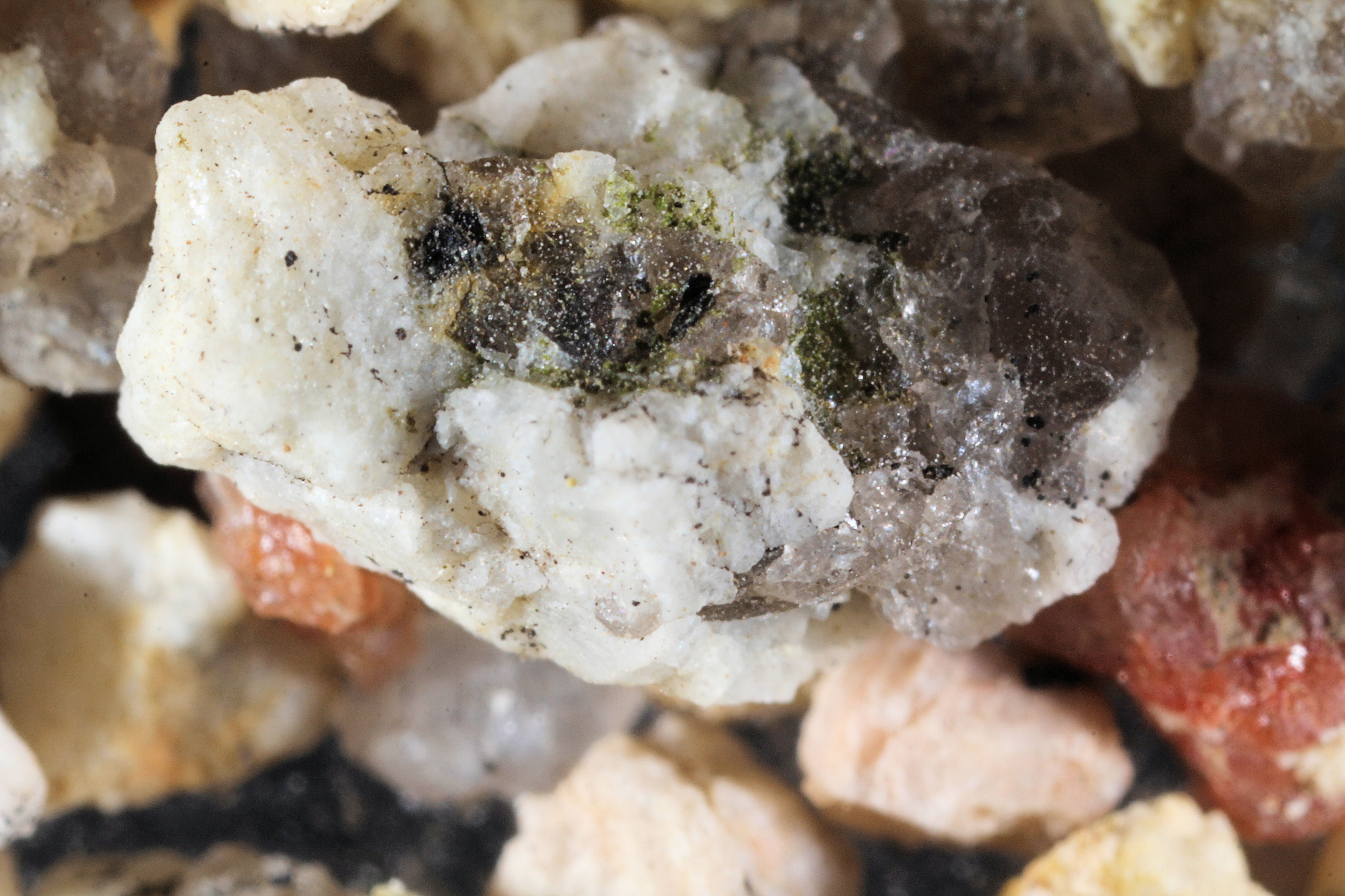
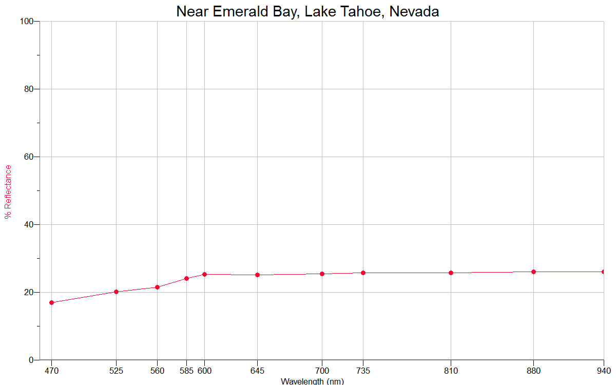
EMERALD BAY
|
 |
 |
|
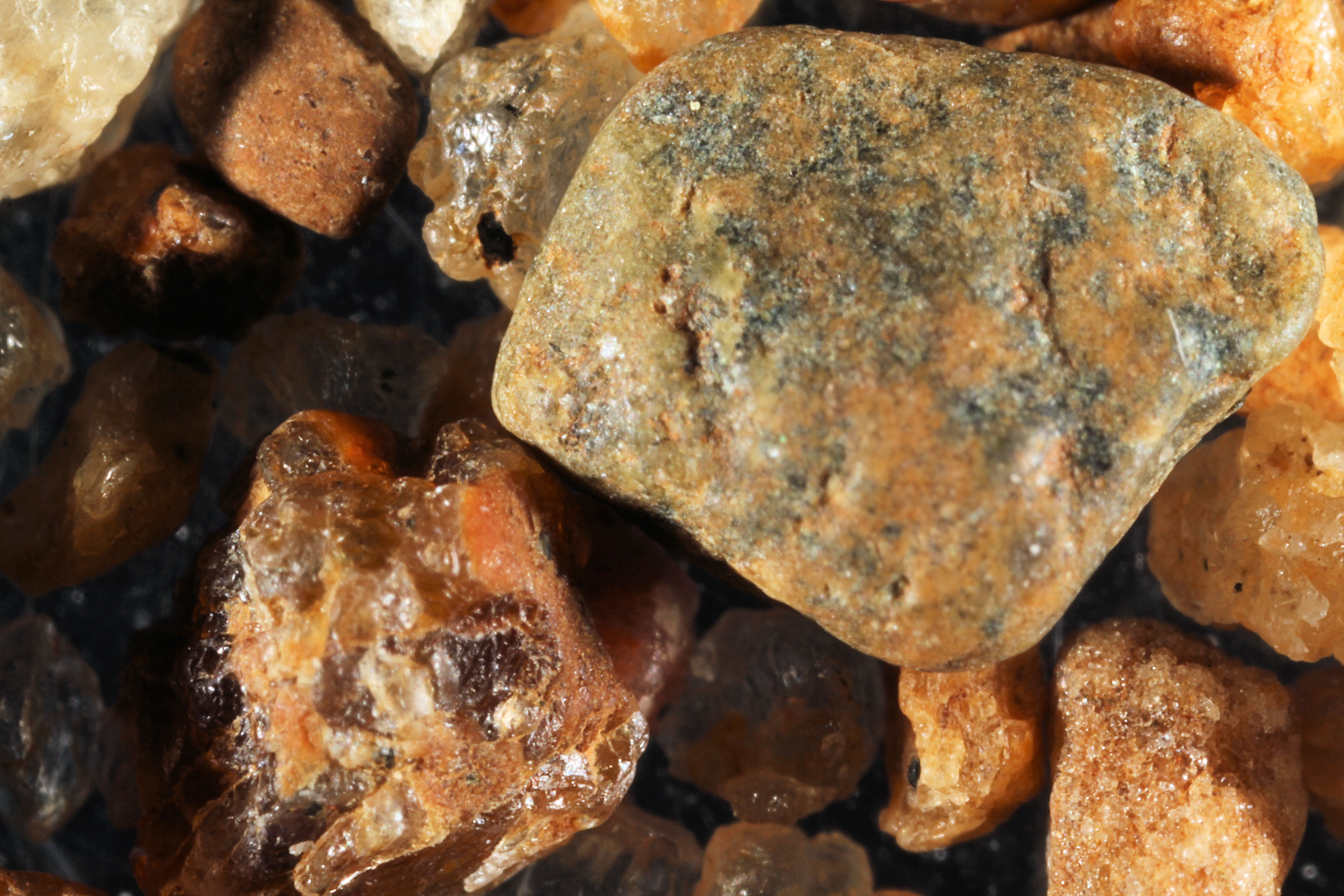
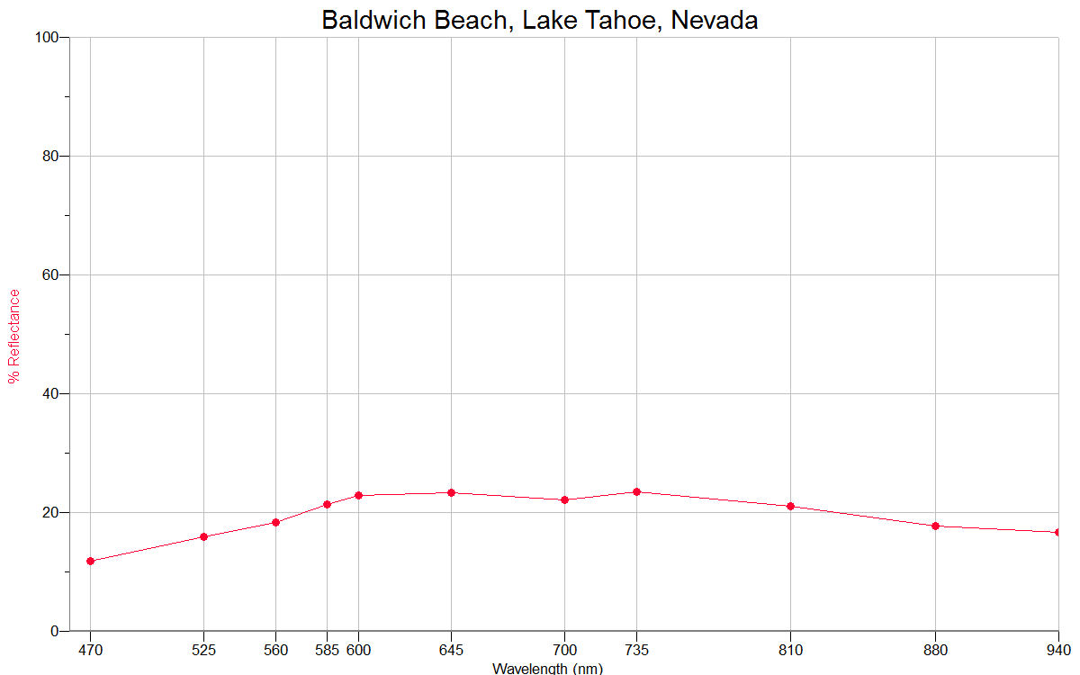
BALDWICH BEACH |
 |
 |
|
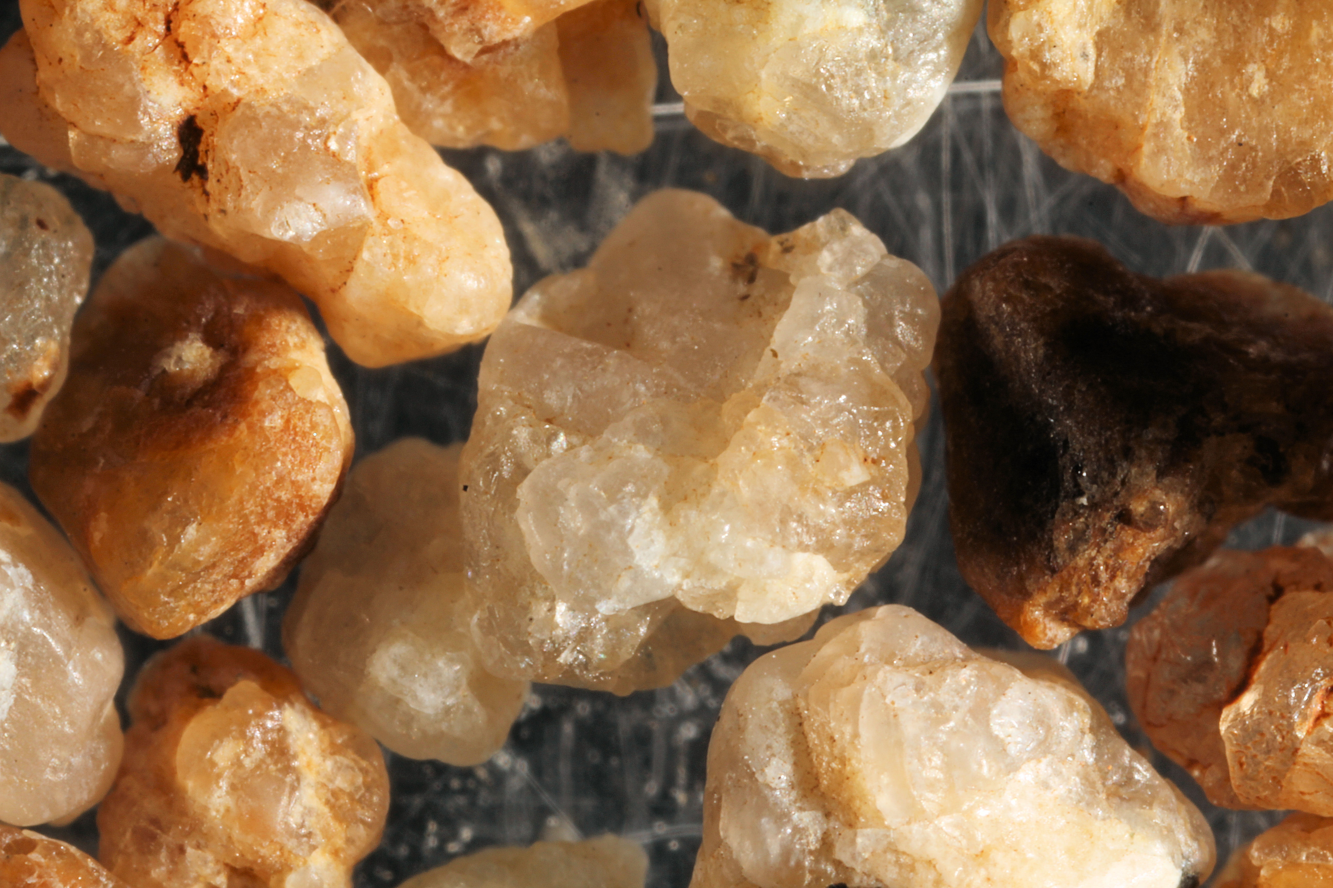
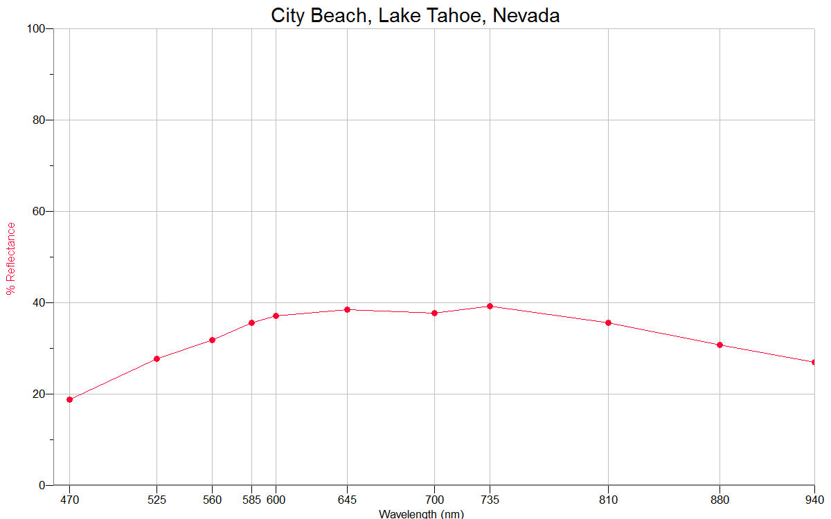
CITY BEACH |
 |
 |
|
NEVADA BEACH |
 |
 |
|
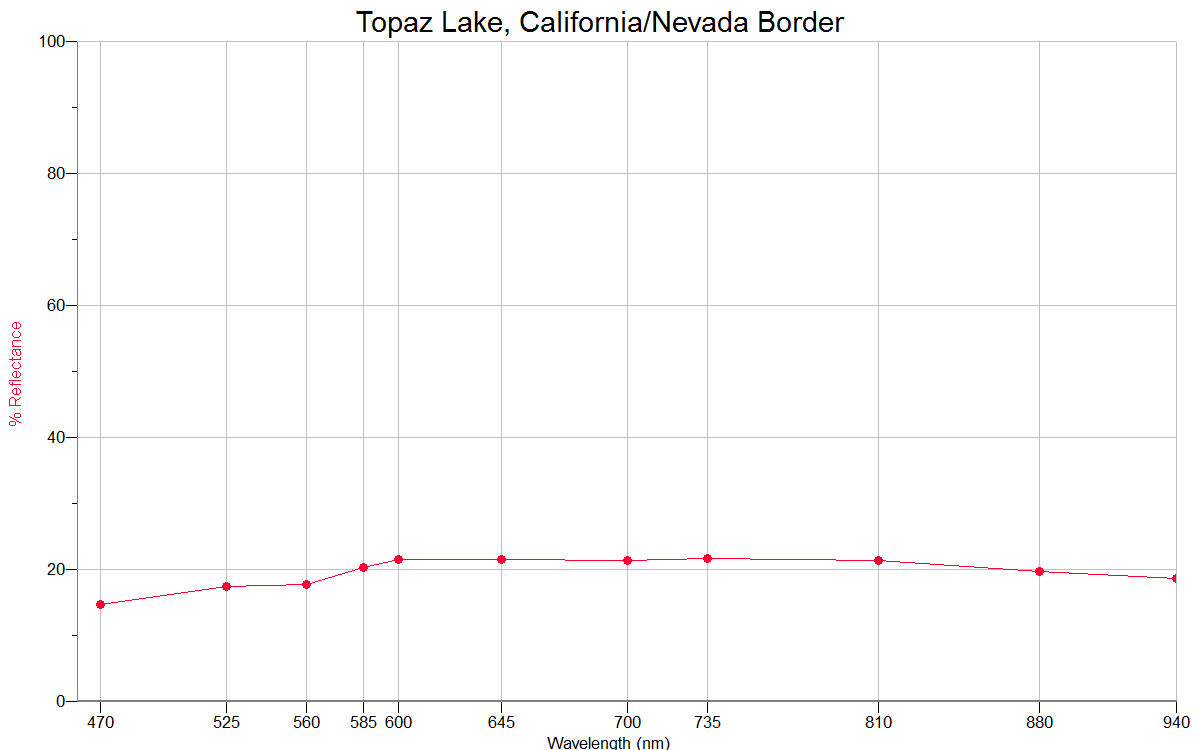
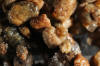
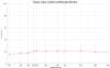
TOPAZ LAKE 38.68N, 119.54W |
 |
 |
|
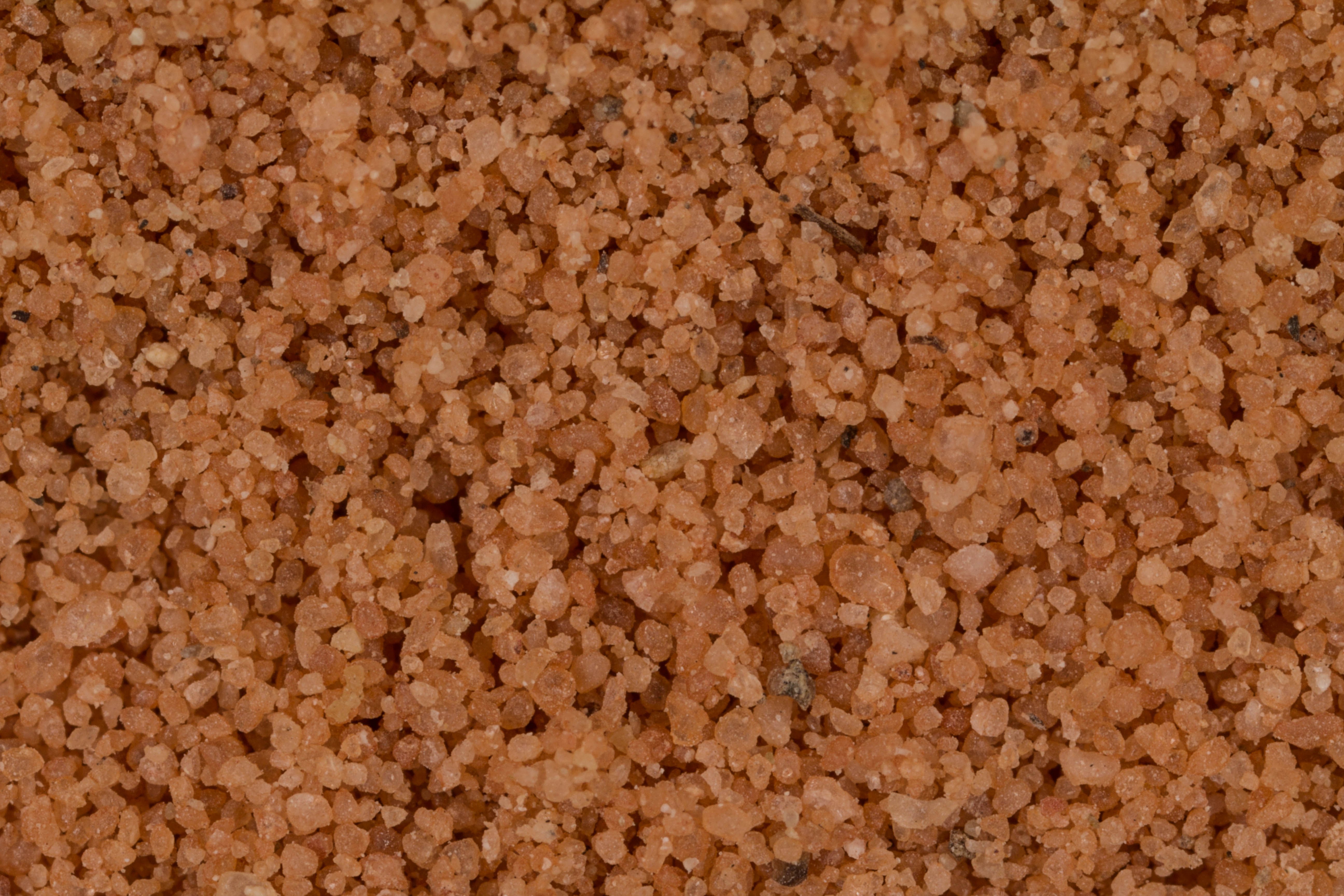
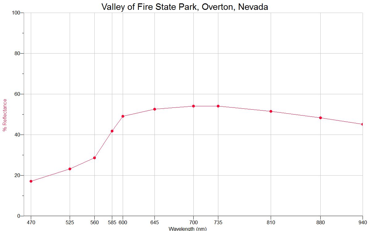
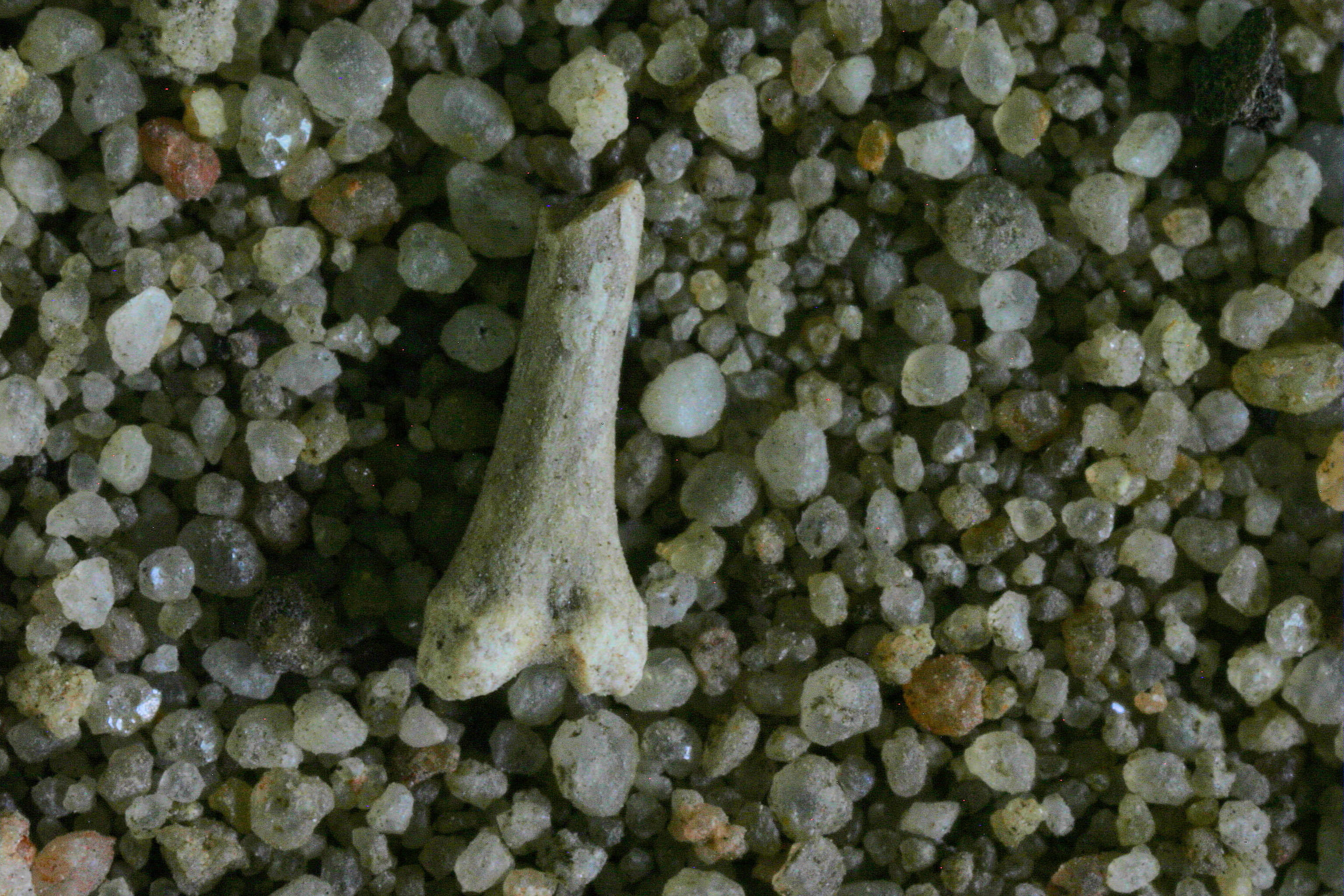
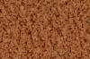
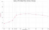
VALLEY OF FIRE STATE PARK, OVERTON 36.44N,
114.53W |
 |
 |
|
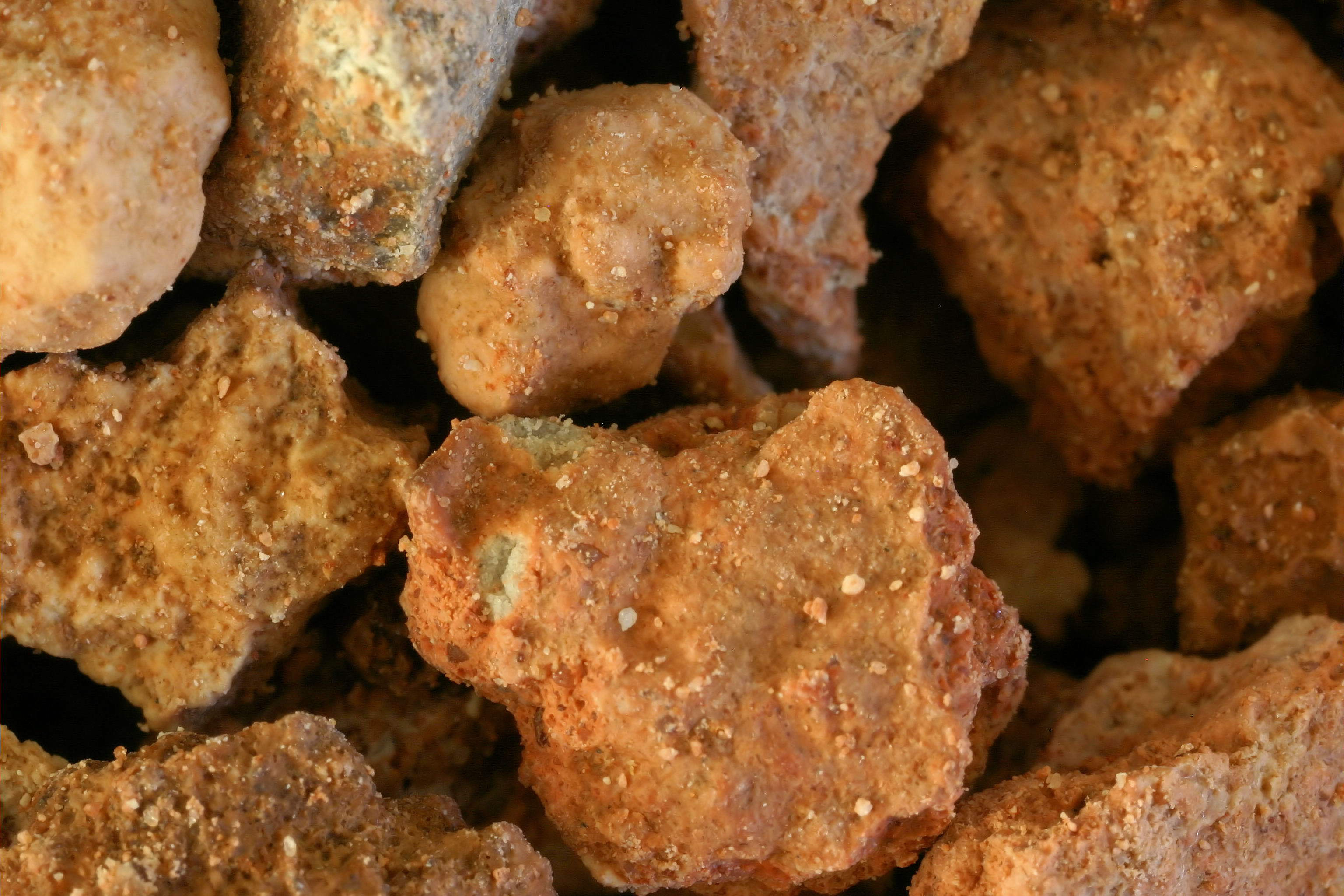
Red Rock Canyon
36.13N, 115.38W |
 |
|
|
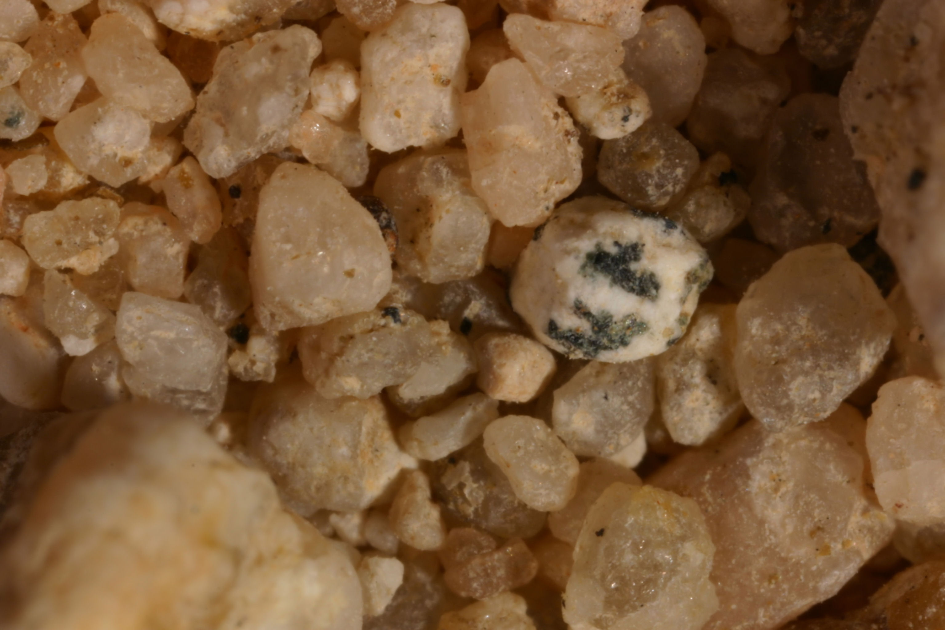
Red Rock Canyon
36.13N, 115.38W Sample #2 (1x) |
 |
|
|
Mojave Desert,
≈36.00N, ≈115.00W |
 |
|
|
Laughlin, 35.16N,
114.58W
|
 |
|