Wikipedia Commons Image


  en:False colour en:satellite en:image of the en:island of en:Texel and its surroundings. The image was made by NLR and ESA.NLR and ESA are cited as its source.

To the south of the island, part of the en:mainland of the Dutch en:province of en:North Holland can be seen, including the en:city of en:Den Helder (bottom center) and the former island of en:Wieringen (bottom right). Further features include the sand bar of en:Noorderhaaks to the southwest of Texel; the southernmost part of the neighbouring island of en:Vlieland (top center); the en:Afsluitdijk en:dam, which connects North Holland to en:Friesland (center right), the en:Wadden Sea, east of Texel; and the en:North Sea (west of Texel)."

Wikipedia Notes


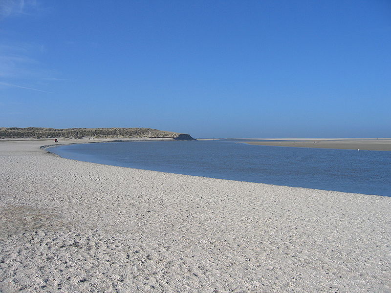
TEXEL ISLAND 53.08N, 4.83E


The link is to the Wikipedia page on Texel Island.


ZERO MAGNIFICATION IMAGE

REFLECTANCE SPECTRUM


1X MAGNIFICATION (RED LINE  = 1MM)

3X MAGNIFICATION (RED LINE  = 1MM)

Return to Netherlands Sand to view high resolution images of all  samples from the Netherlands. Click on the thumbnails above to view high resolution versions of these images.

This sample was donated by Julian S., a student at the  Gates Intermediate School, Scituate, Massachusetts.

Return to Home