|
 |
|
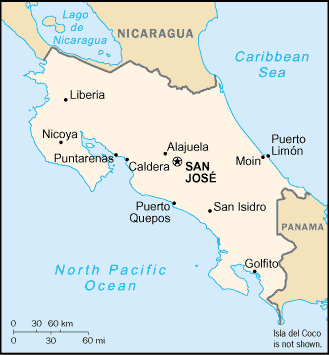
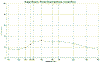
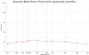
LOCATION |
THUMBNAIL IMAGE |
THUMBNAIL
SPECTRA |
|
|
|
|
|
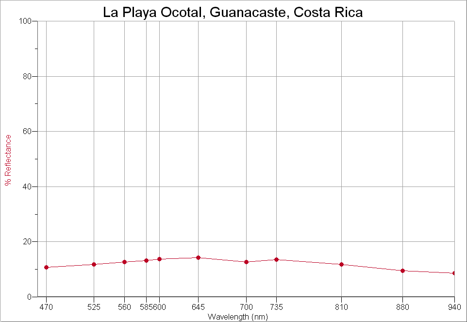
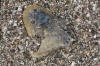
LA PLAYA OCOTAL, GUANACASTE - 10.60N,
85.50W |
 |
 |
|
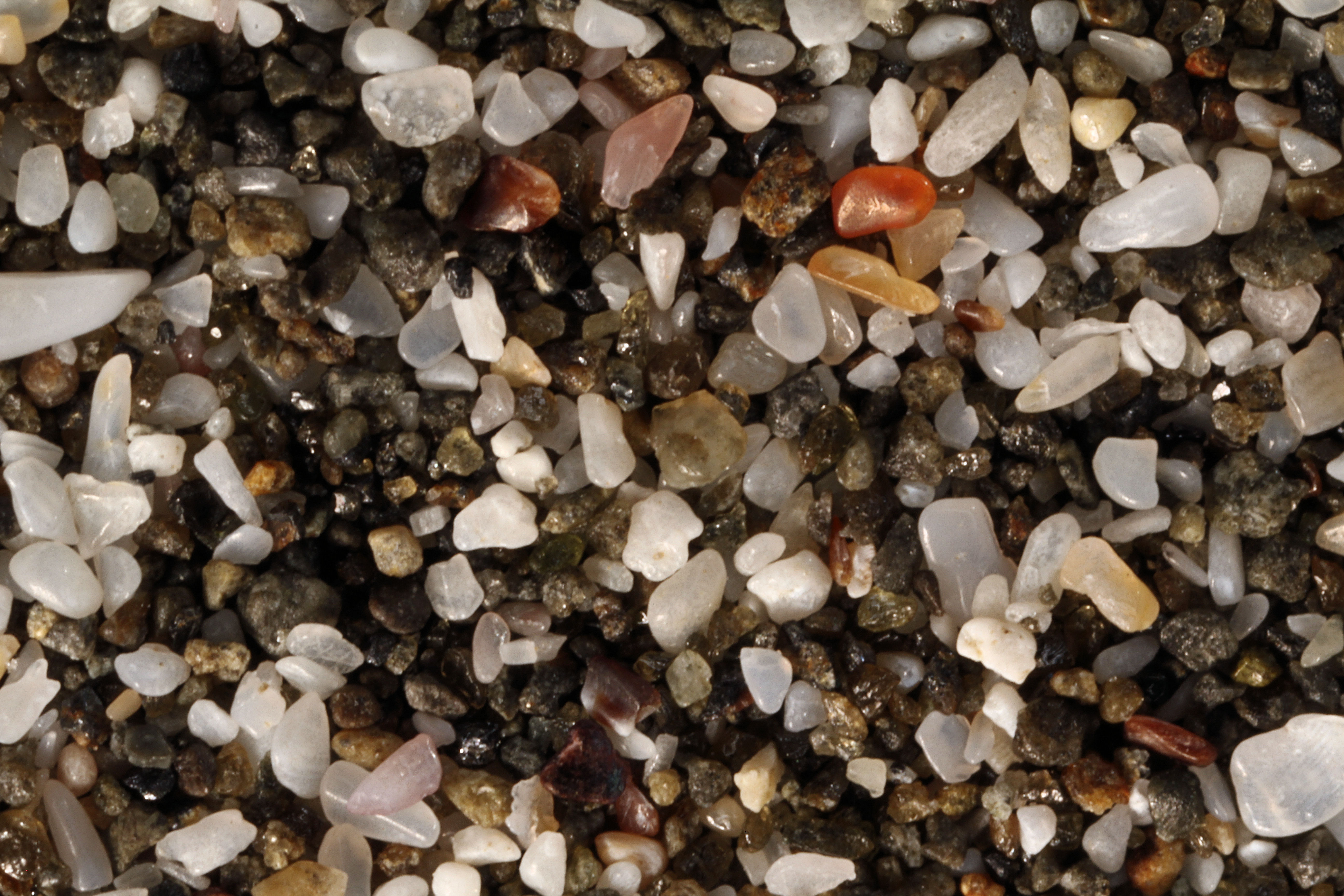
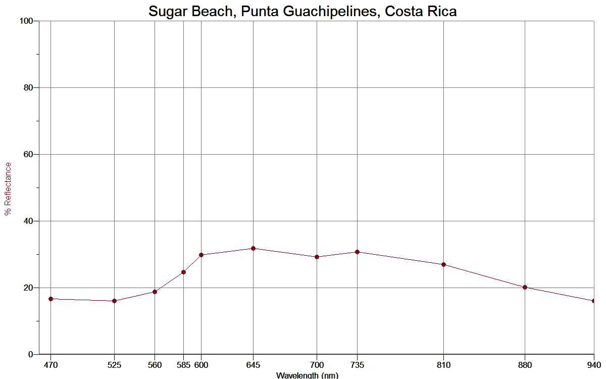
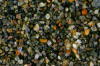
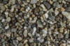
SUGAR BEACH, PUNTA GUACHIPELINES -
10.48N, 85.83W |
 |
 |
|
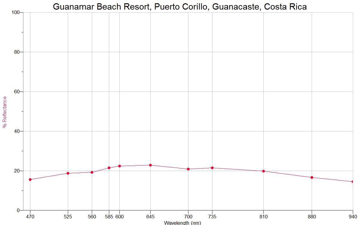
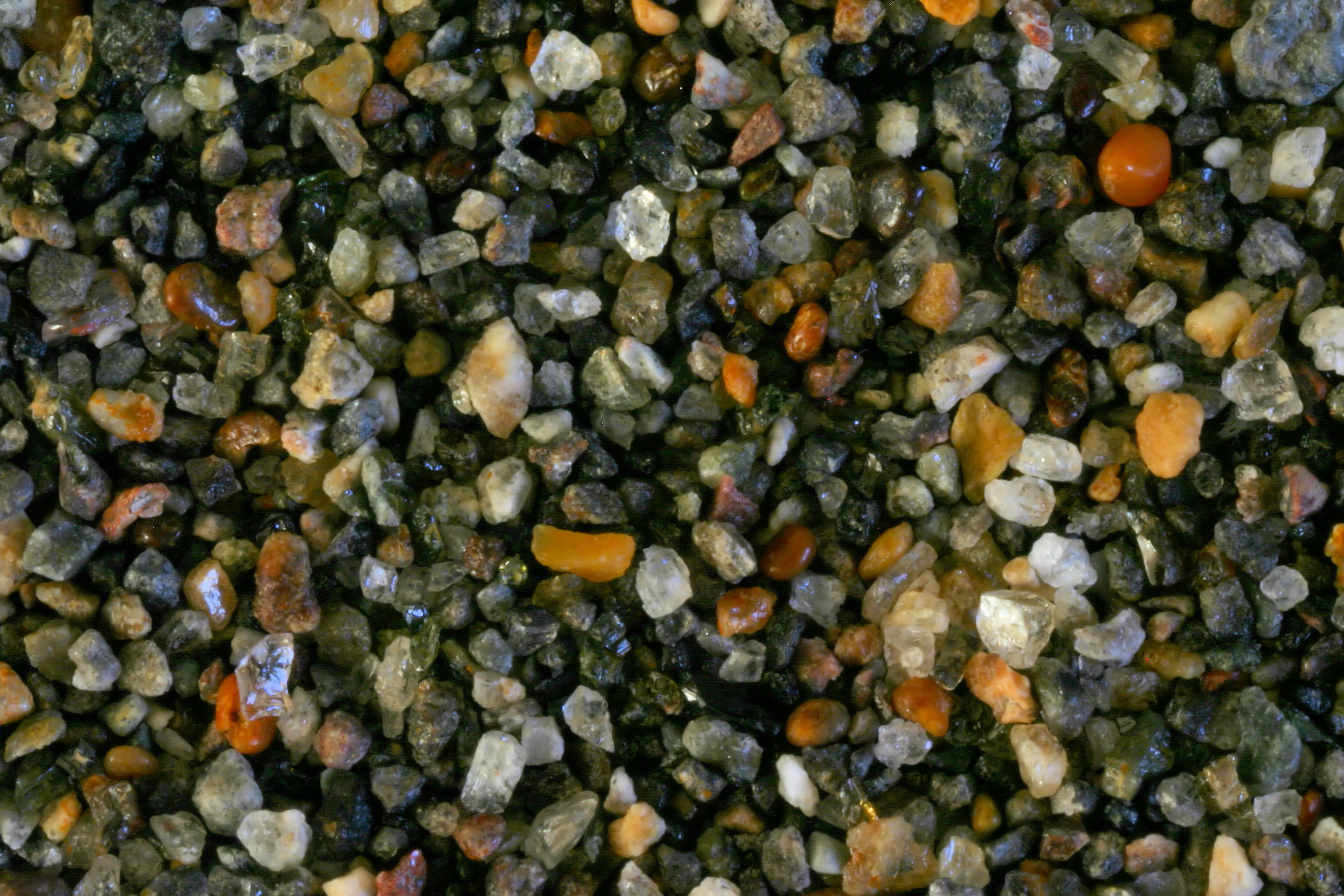
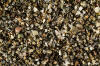
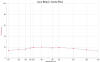
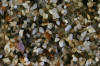
PUERTO CORILLO,
GUANACASTE 10.43N, 85.40W
|
 |
 |
|
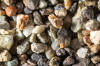
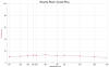
TORTUGUERO
BEACH 10.32N,
83.30W |
 |
|
|
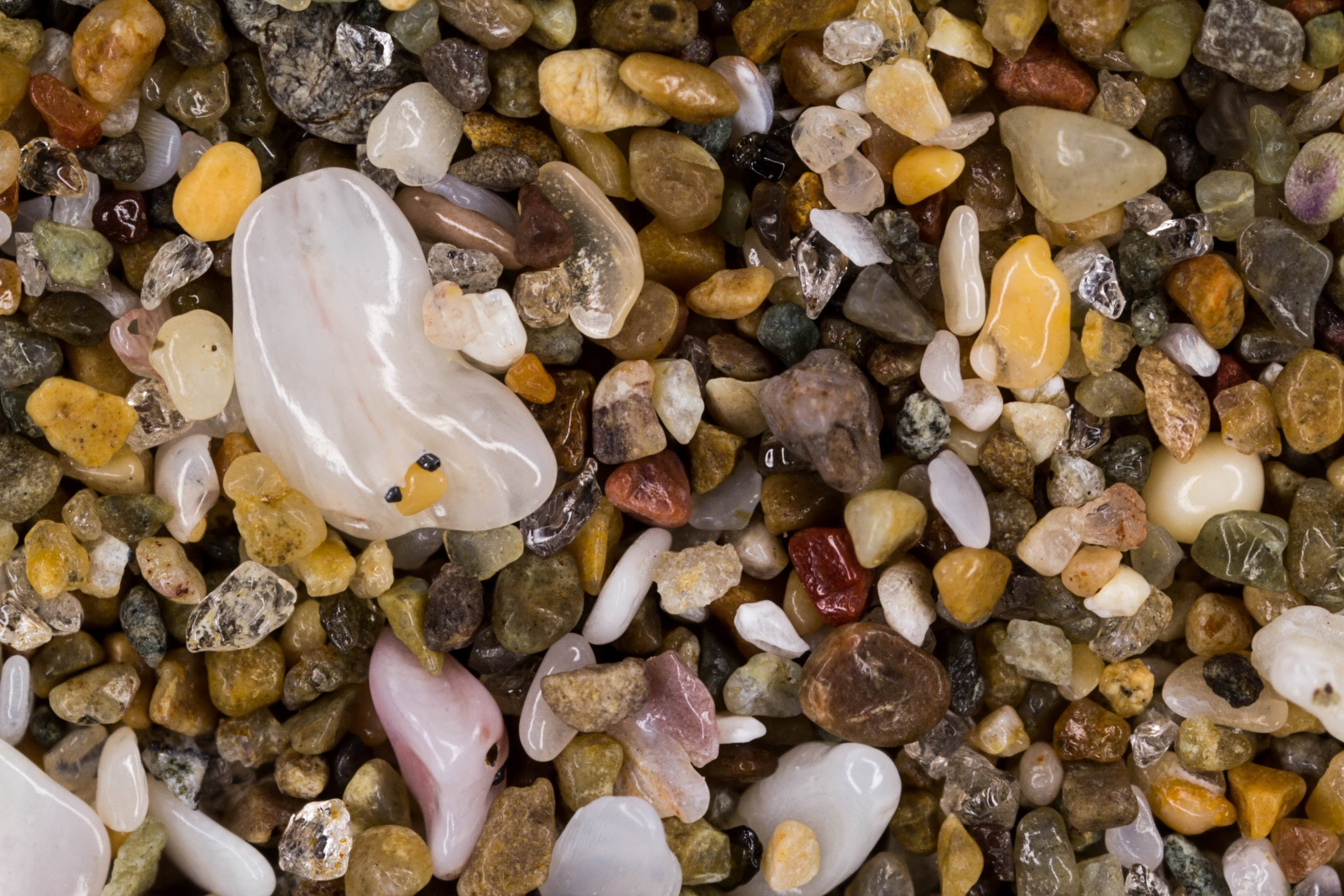
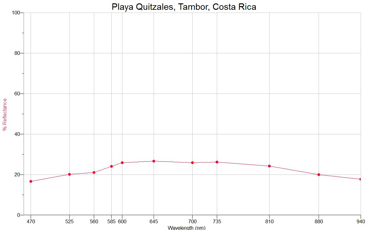
PLAYA QUITZALES,
TAMBOR 9.73N, 85.02W |
 |
 |
|
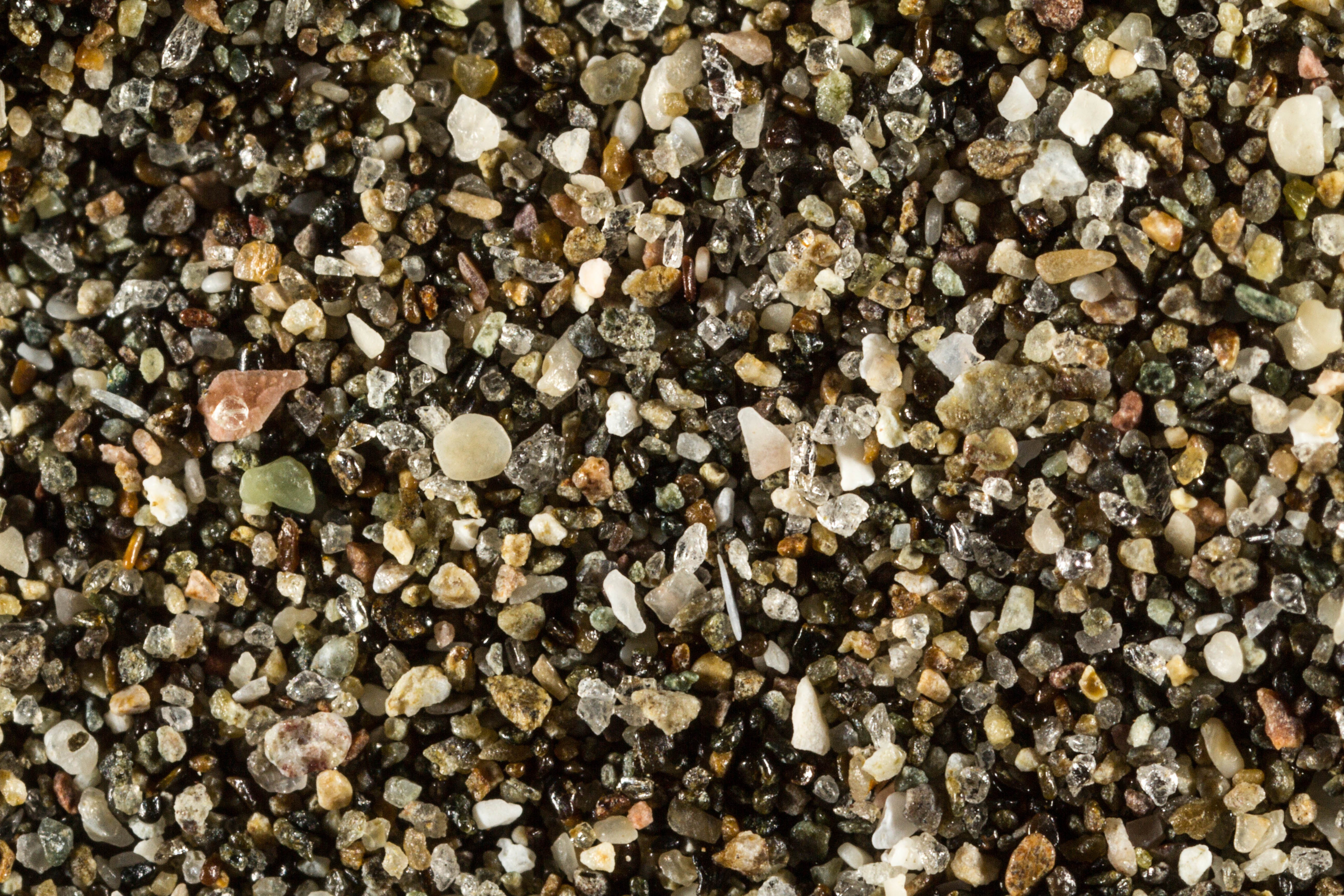
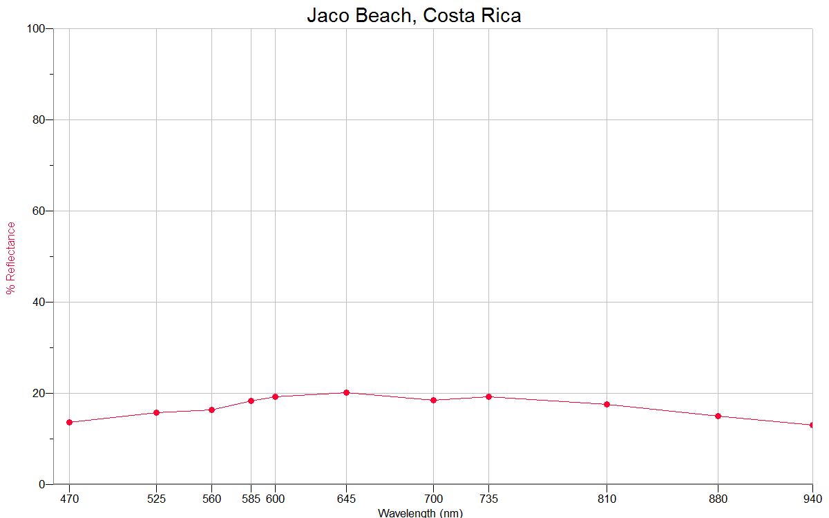
JACO BEACH 9.62N,
84.63W |
 |
 |
|
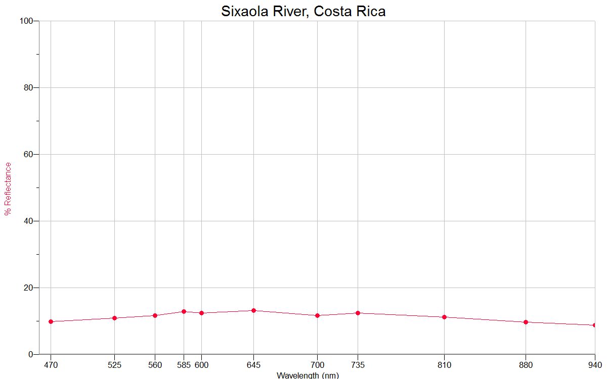
SIXAOLA
RIVER ≈9.57N,
≈82.57W |
 |
 |
|
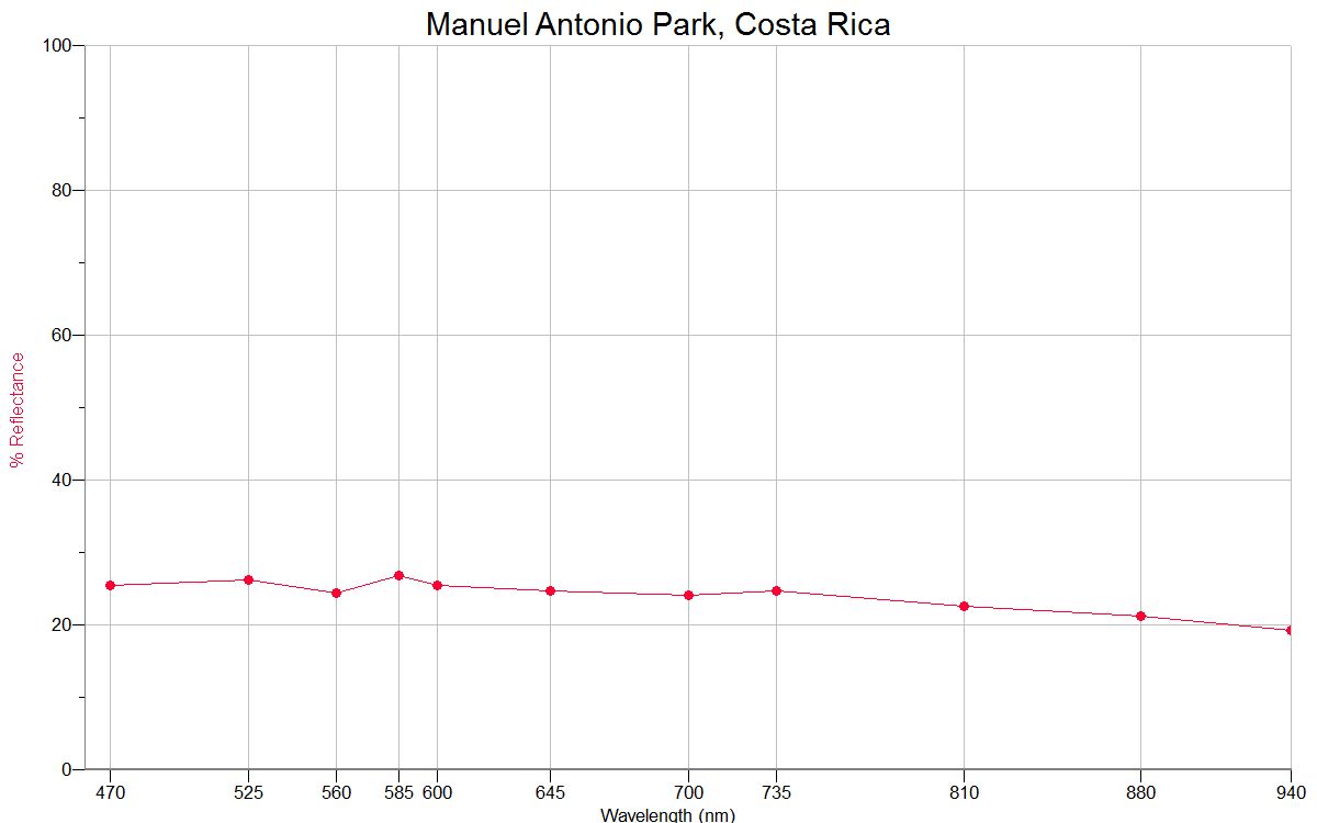
MANUEL ANTONIO PARK 9.38N,
84.16W |
 |
 |
|
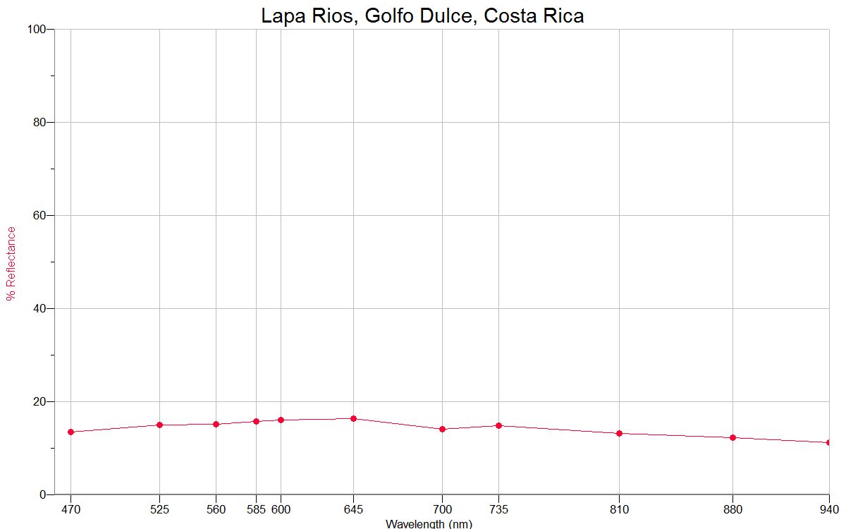
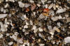
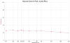
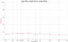
LAPA
RIOS, GOLFO DULCE ≈8.0N,
≈83.0W |
 |
 |
|
| |
|
|