
CLICK ON MAP TO GO TO USGS SITE
LOCATION |
CLICK ON IMAGE FOR HIGH RES. |
| Grand Canyon of the Yellowstone River 44.72N, 110.50W | 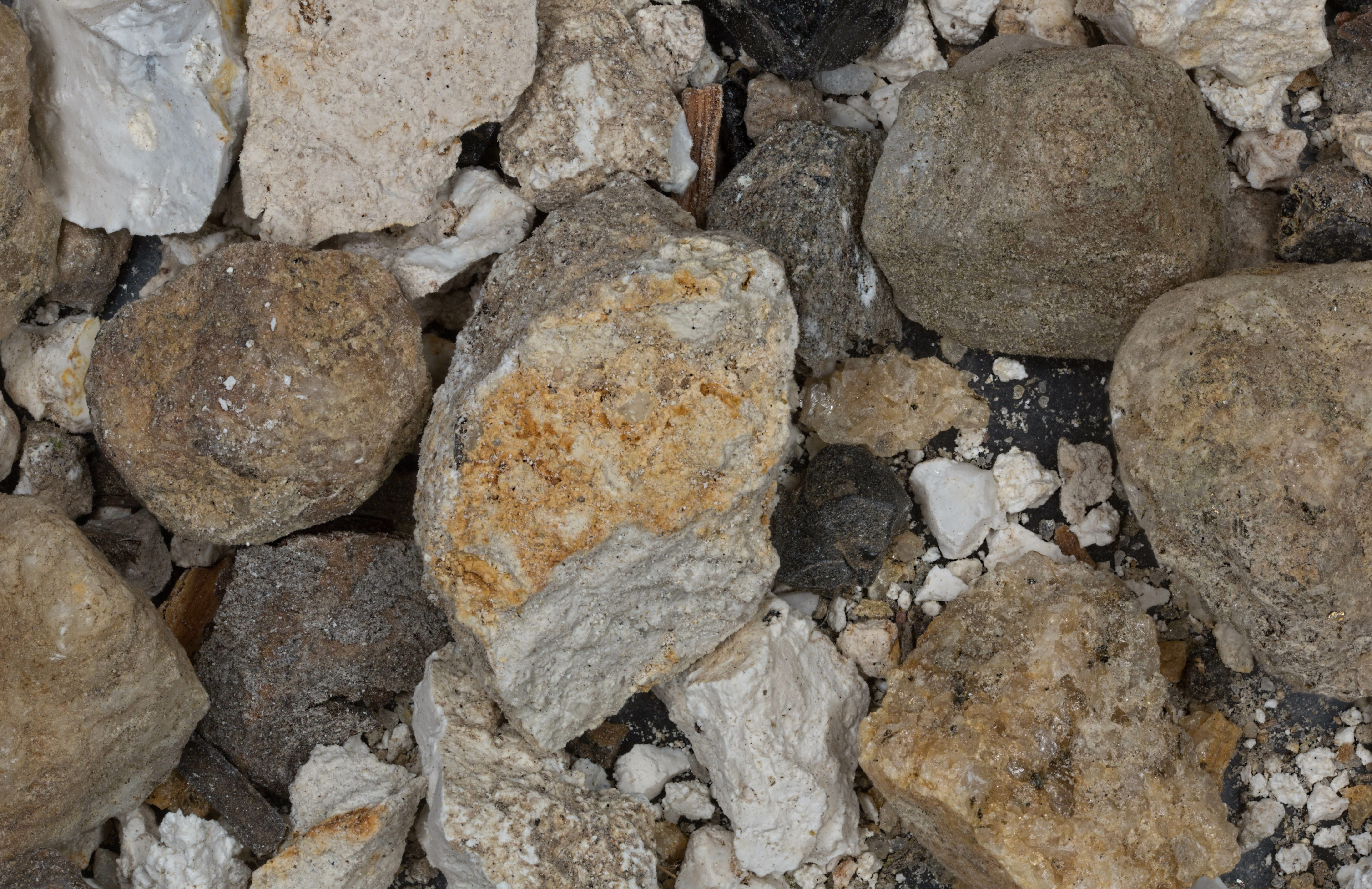 |
| Yellowstone (2 Samples) 44.60N, 110.50W |  |
| Pink Cone Geyser 44.50N, 110.78W | 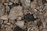 |
| Cody 44.52N, 109.06W | 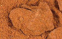 |
| Greybull River, Meeteese 44.15N, 108.87W |  |
| Jenny Lake, Grand Teton Nat. Prk. 43.76N, 110.73W |  |
| Menors Ferry, Jackson 43.65N, 110.70W |  |
| Deadman's Bar, Jackson 43.48N, 110.77W |  |
| Alcova Dam, Alcova (2 Samples) 42.55N, 106.72W |  |
| Background Image by Jim Peaco - National Park Service |