| |
|
|
 |
 copy.jpg) |
 |
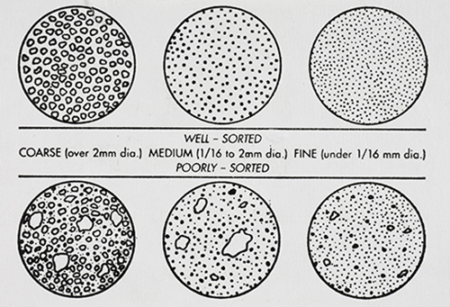
GRAIN DISTRIBUTION CHARACTERISTICS (AGI CHART) |
International Space Station 70mm Photograph Image credit: Image Science and Analysis Laboratory, NASA Johnson Space Center |
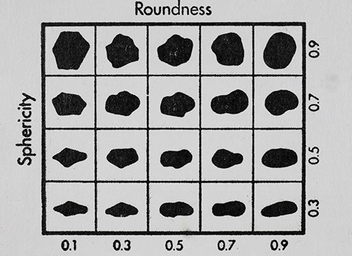
GRAIN SHAPE CHARACTERISTICS
(PREPARED BY GAMMA ZETA CHAPTER , SIGMA GAMMA EPSILON, KENT STATE UNIVERSITY - AGI CHART))
Roundness is the degree of smoothing due to abrasion of sedimentary particles. It is expressed as the ratio of the average radius of curvature of the edges or corners to the radius of curvature of the maximum inscribed sphere.
The sphericity of a particle is: the ratio of the surface area of a sphere (with the same volume as the given particle) to the surface area of the particle. |
|
|
|
| |
|
|
| |
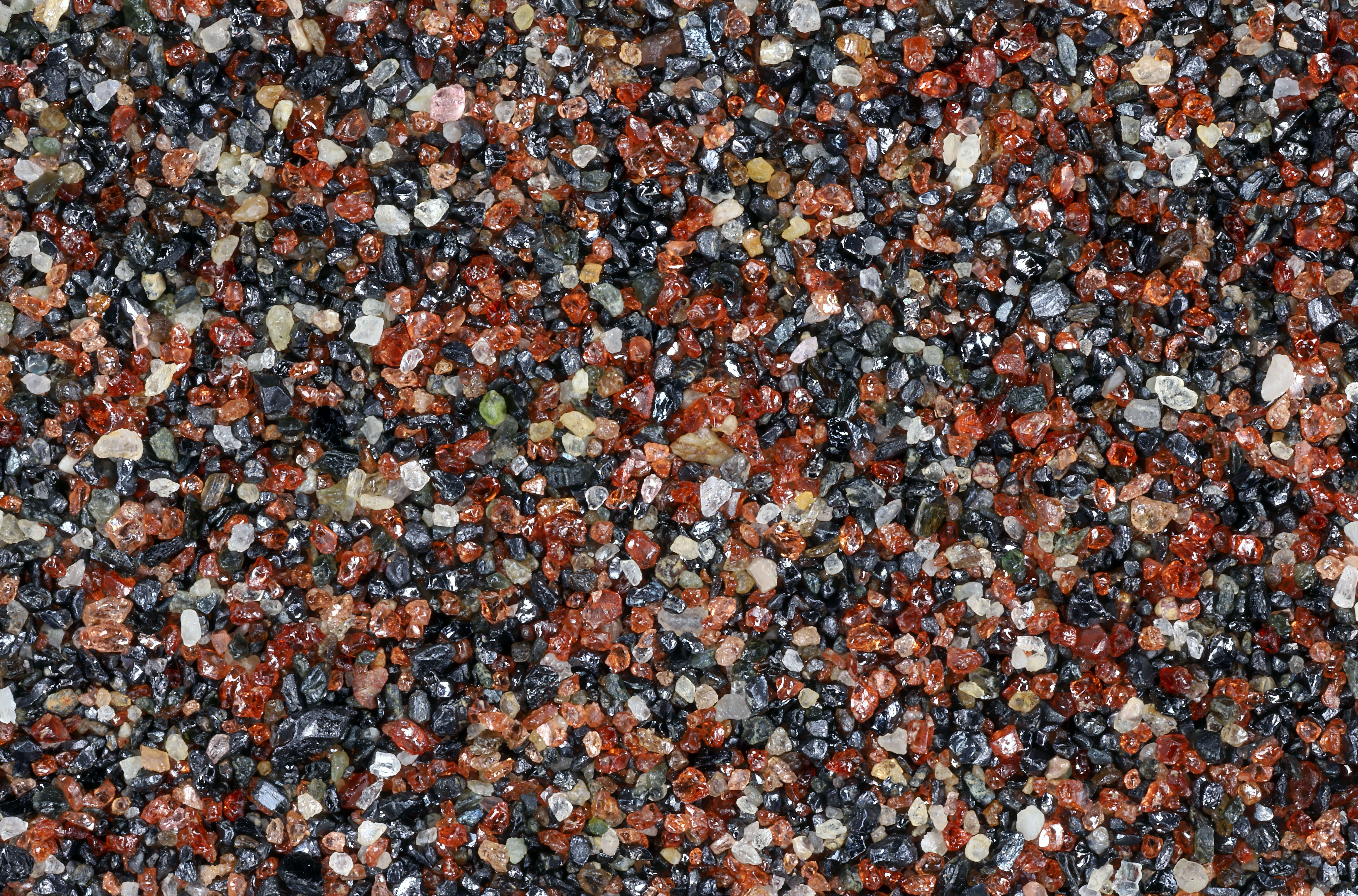
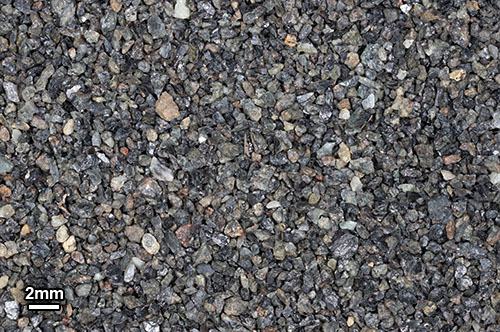
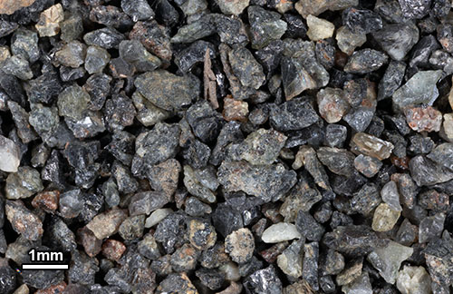
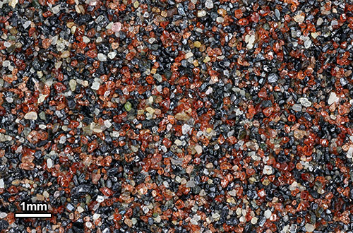
Wollastonite and Garnet from skam |
|
| |
|
|
 |
 |
 |
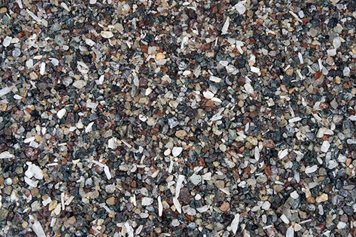
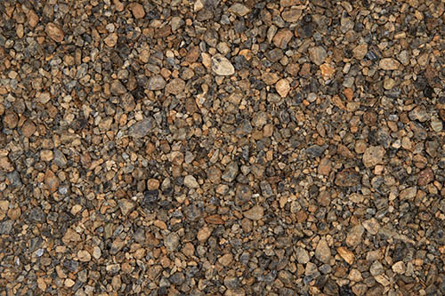
0X IMAGE (BACKGROUND IMAGE) |
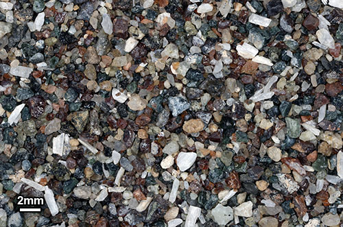
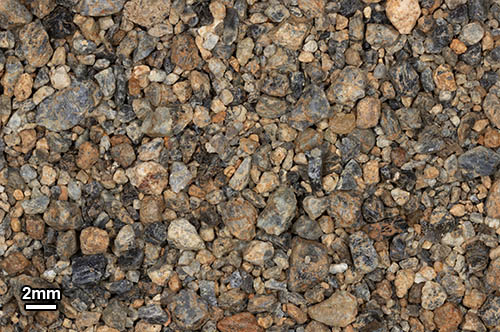
1X IMAGE |
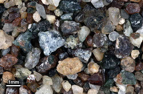
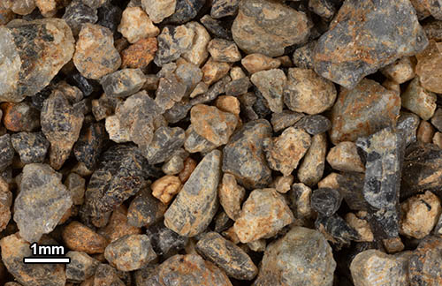
3X IMAGE |
| Click on Image for High Resolution Version |
Click on Image for High Resolution Version |
Click on Image for High Resolution Version |
| |
|
|
|
|
|
| |
|
|
| |
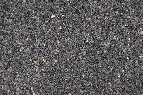
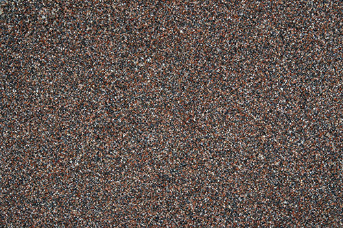
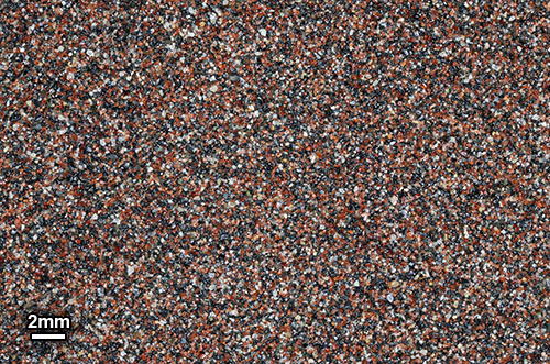
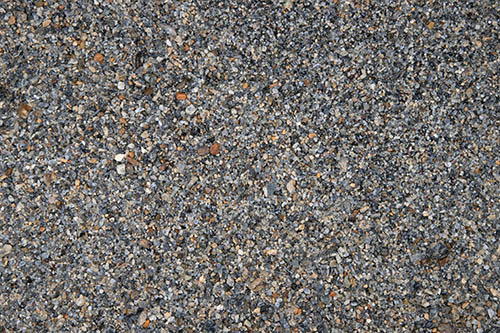
Mine outwash contains Magnetite and Ilmenite |
|
| |
|
|
 |
 |
 |
0X IMAGE |
1X IMAGE |
3X IMAGE |
| Click on Image for High Resolution Version |
Click on Image for High Resolution Version |
Click on Image for High Resolution Version |
| |
|
|
|
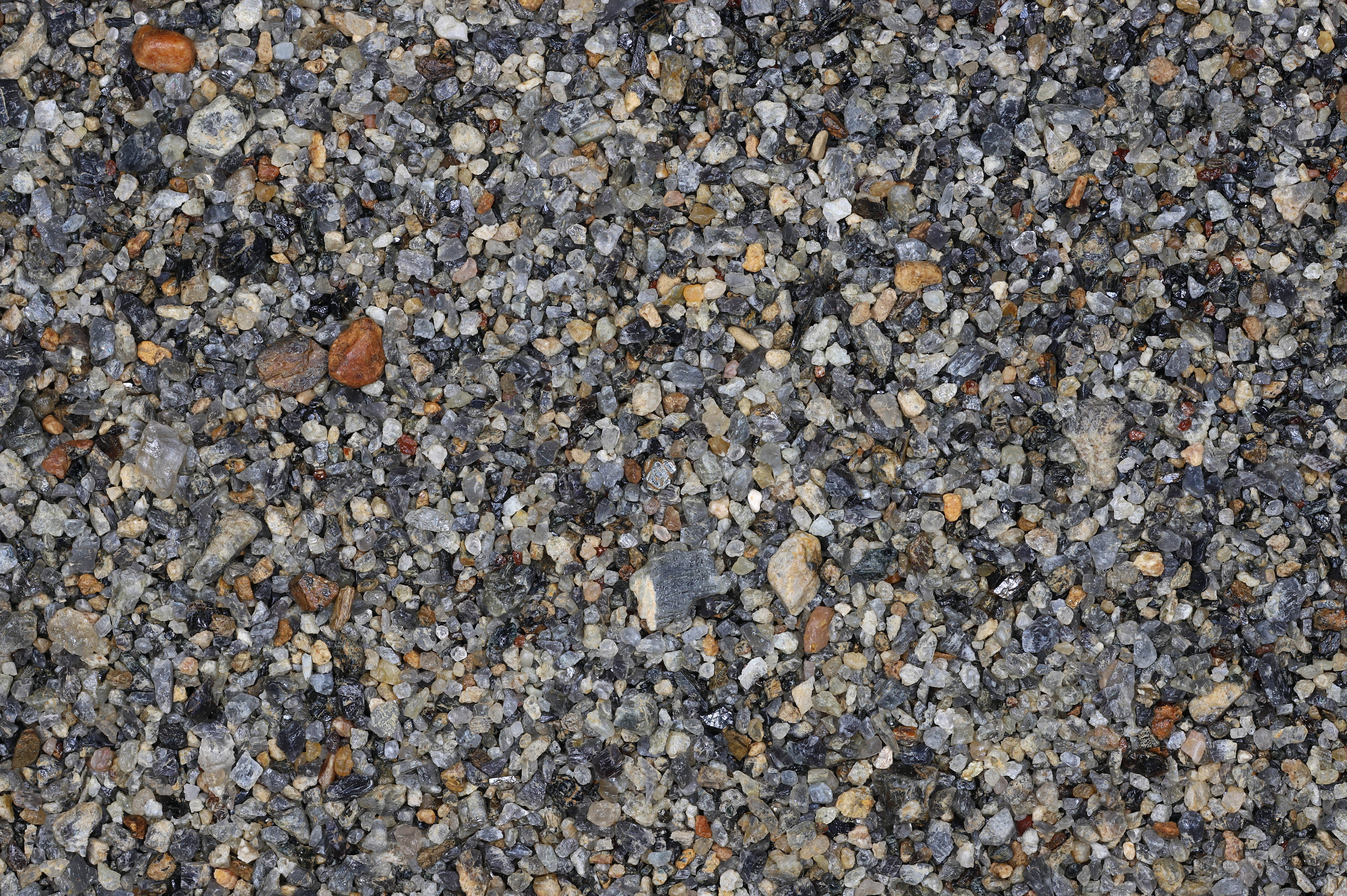
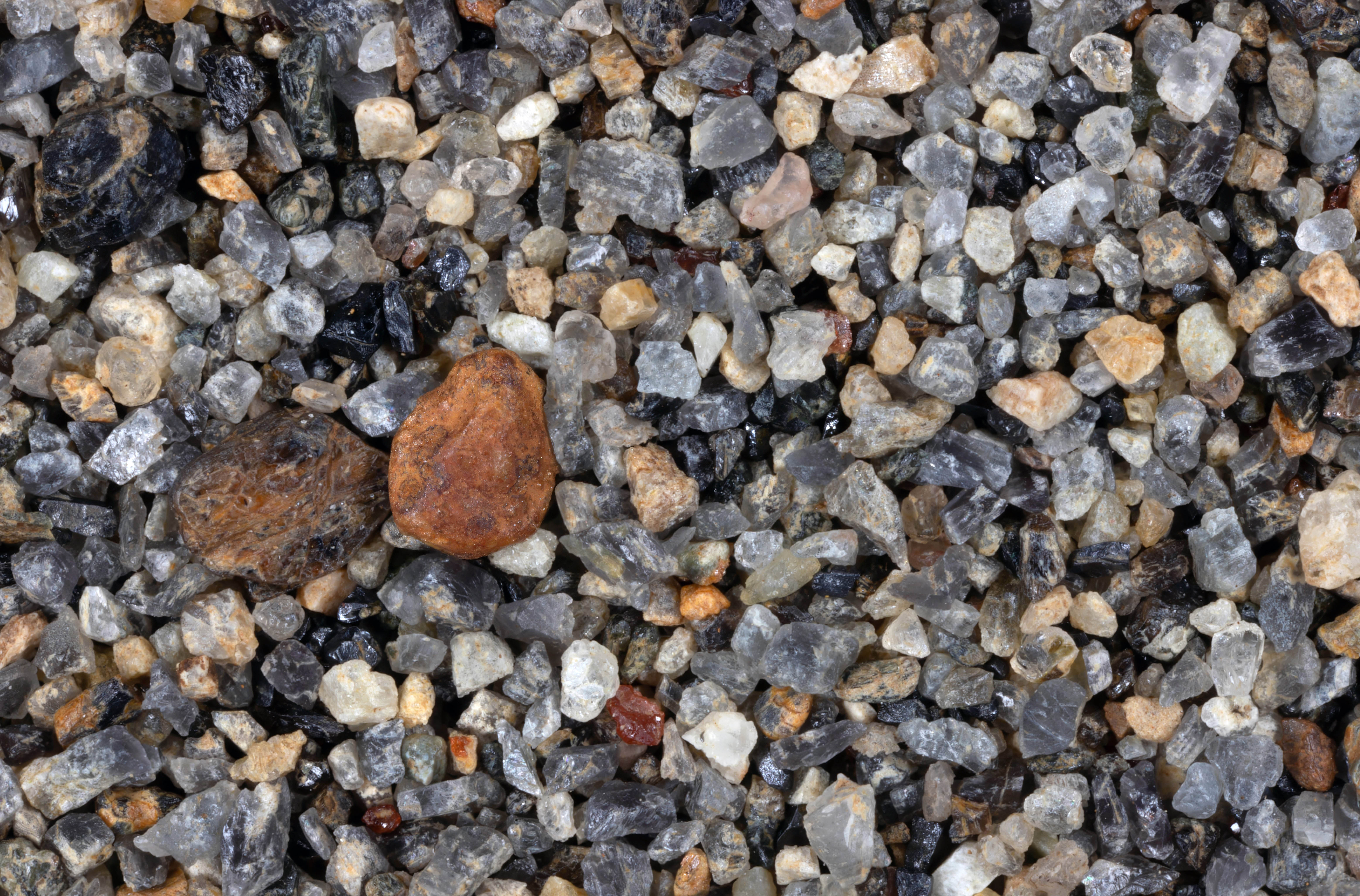
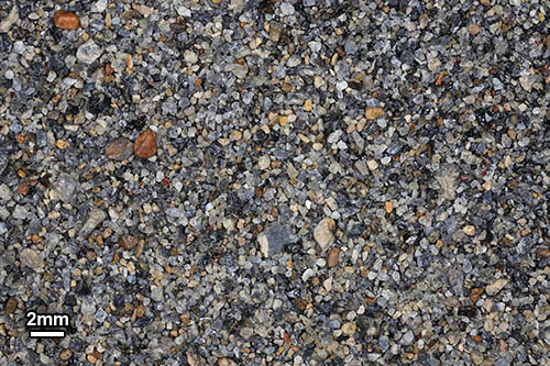
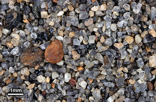
SCHROON LAKE BEACH 43.84N, 73.76W
|
|
| |
|
|
| |
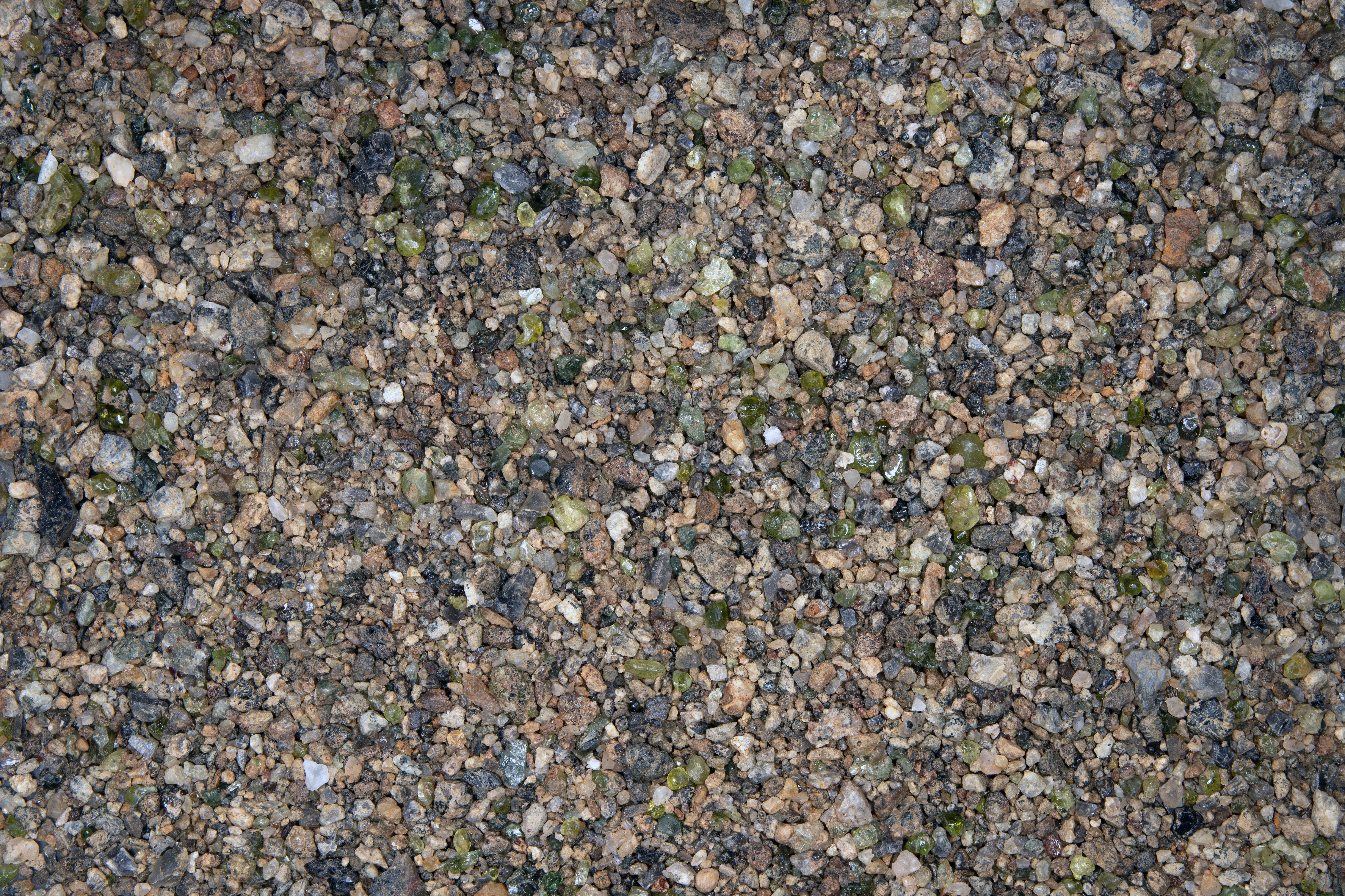
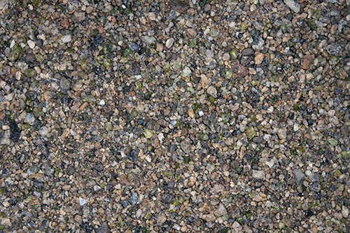
Garnet sand from North end of the beach |
|
| |
|
|
 |
 |
 |
0X IMAGE |
1X IMAGE |
3X IMAGE |
| Click on Image for High Resolution Version |
Click on Image for High Resolution Version |
Click on Image for High Resolution Version |
| |
|
|
|
|
|
| |
|
|
| |
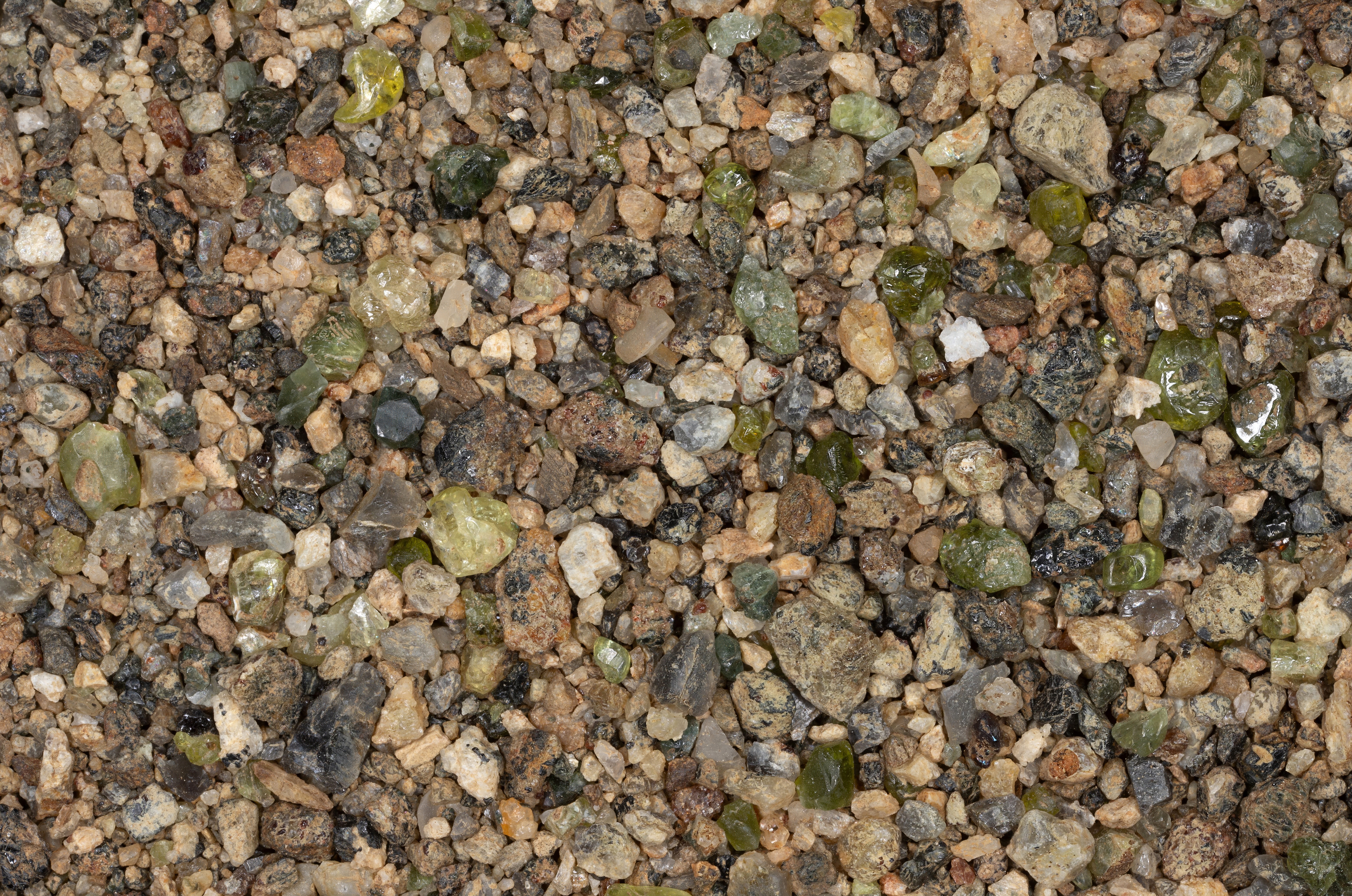
Hillside enters lake, Diopside |
|
| |
|
|
 |
 |
 |
0X IMAGE |
1X IMAGE |
3X IMAGE |
| Click on Image for High Resolution Version |
Click on Image for High Resolution Version |
Click on Image for High Resolution Version |
| |
|
|
|
|
|
| |
|
|
| |
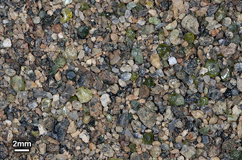
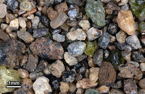
River sand near headwaters |
|
| |
|
|
 |
 |
 |
0X IMAGE |
1X IMAGE |
3X IMAGE |
| Click on Image for High Resolution Version |
Click on Image for High Resolution Version |
Click on Image for High Resolution Version |
| |
|
|
|
|
|
| |
|
|
| |
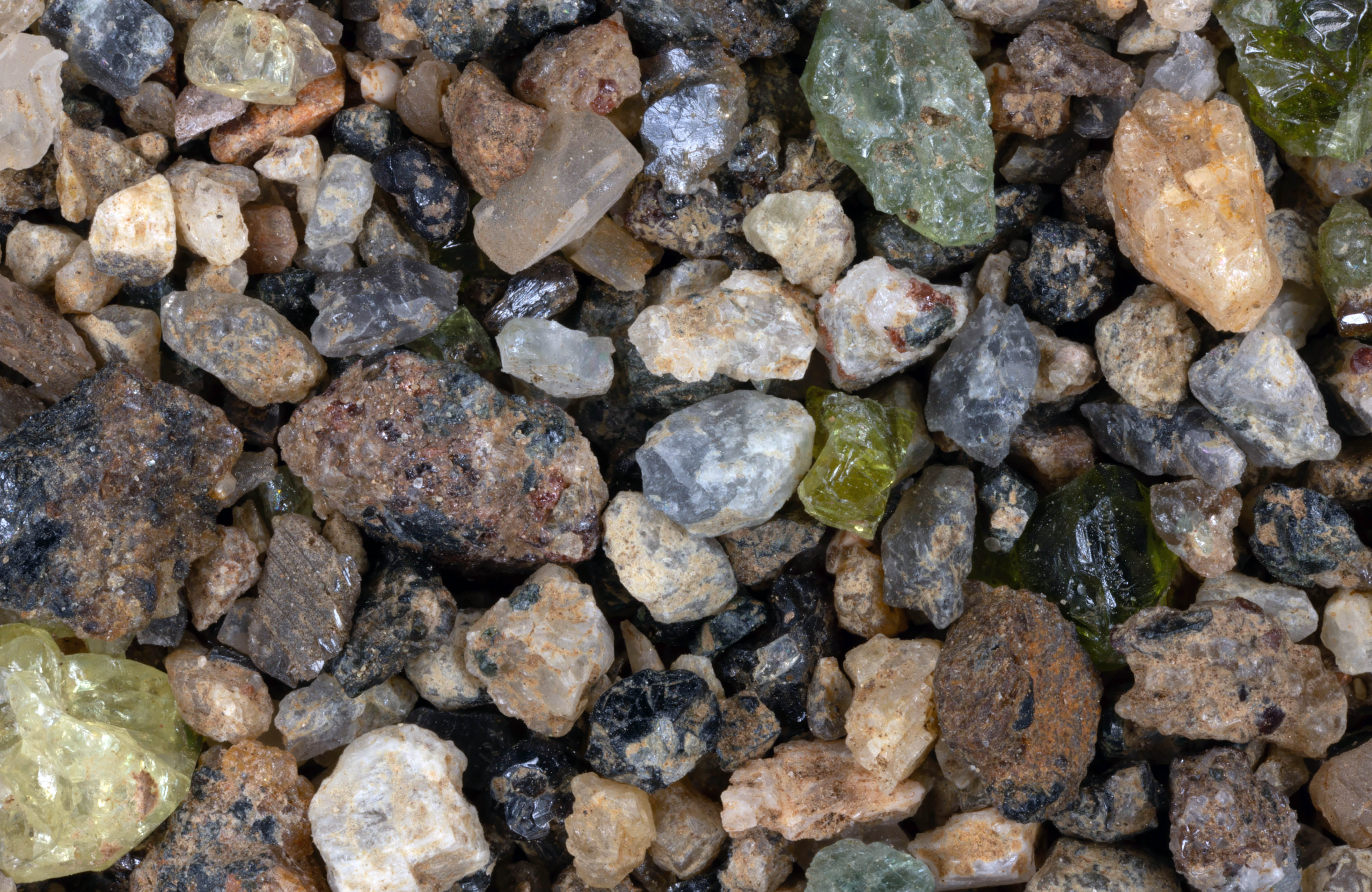
Sample collected from sand bar in mountain stream. |
|
| |
|
|
 |
 |
 |
0X IMAGE |
1X IMAGE |
3X IMAGE |
| Click on Image for High Resolution Version |
Click on Image for High Resolution Version |
Click on Image for High Resolution Version |
| |
|
|