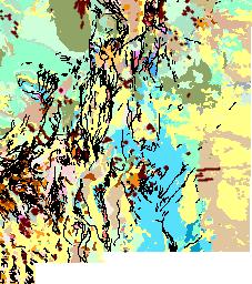
Click on USGS Image for Details
Background Photograph by Gary Foster |
LOCATION |
3X IMAGE CLICK IMAGE FOR HIGH RES. |
|
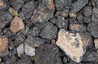
| Shiprock 36.69N, 108.84W |
 |
|
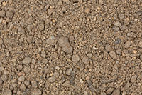
| Philmont 36.45N, 104.96W |
 |
|
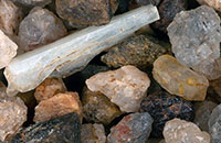
| North of Pilar 36.30N, 105.72W |
 |
|
| La Villita 36.10N, 106.05W |
 |
|
| White Rock (2 Samples) 35.78N, 106.23W |
 |
|
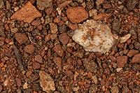
| Turquoise Trail 35.66N, 106.00W (approx.) |
 |
|
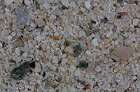
| Pecos National Historic Site 35.55N, 105.68W |
 |
|
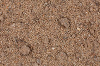
| Rio Grande River, Corrales 35.23N, 106.62W |
 |
|
| Rio Grande River, Albuquerque 35.11N, 106.61W |
 |
|
| El Morro National Monument (2 Samples) 35.04N, 108.35W |
 |
|
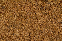
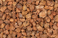
| Zuni Mountains 34.98N, 108.00W |
 |
|
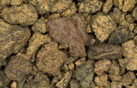
| Bandera Volcanic Crater 34.80N, 108.00W |
 |
|
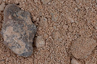
| Bingham 33.89N, 106.37W |
 |
|
| Trinity Test Site (2 Samples) 33.68N, 106.48W |
 |
|
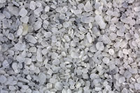
| Alamogordo (2 Samples) 32.90N, 105.96W |
 |
|
| White Sands National Park (2 Samples) 32.78N, 106.17W |
 |
|
| Mimbres Mountains(2 Samples) 32.45N, 107.50W |
 |
|
| Rio Grande River, Las Cruces 32.31N, 106.79W |
 |
|
| |
|
|
| |
|
|
|