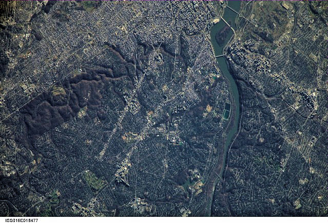
International Space Station 800mm Photograph
Image credit: Image Science and Analysis Laboratory, NASA Johnson Space Center (http://eol.jsc.nasa.gov)
BALL'S BLUFF REGIONAL PARK 39.13N, 77.53W
The link is to the Wikipedia page on Ball's Bluff Cemetery.
ZERO MAGNIFICATION IMAGE
REFLECTANCE SPECTRUM
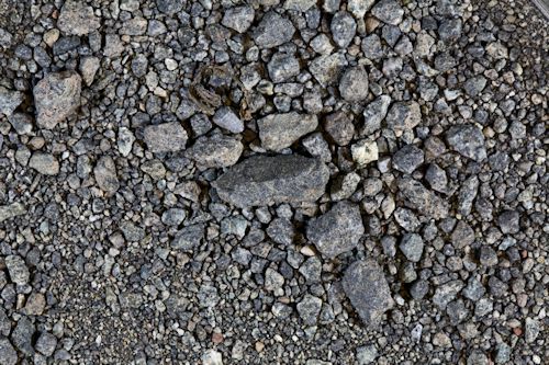
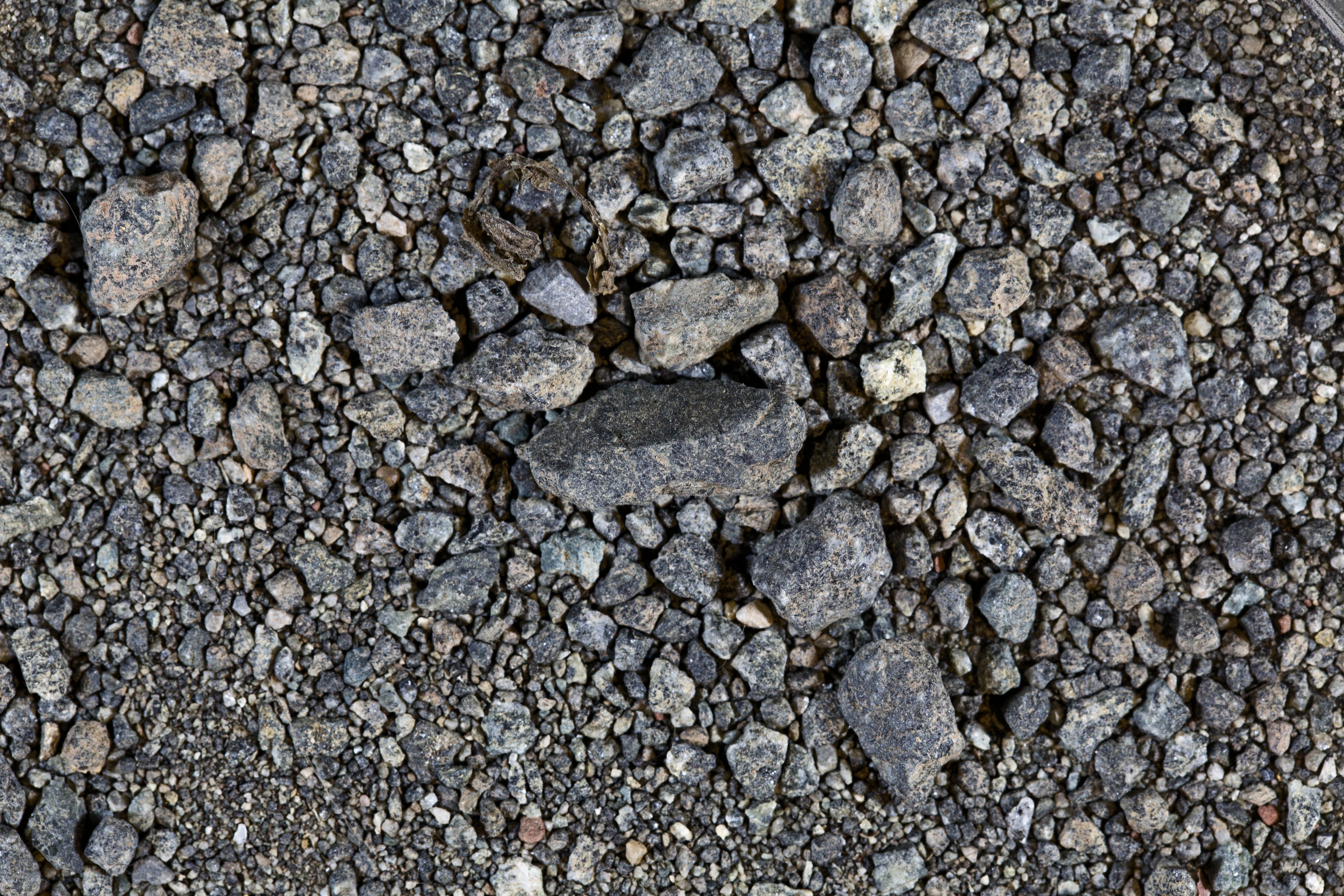
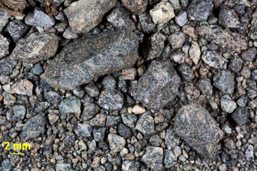
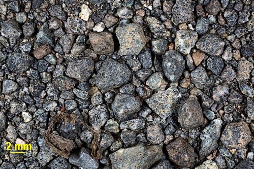
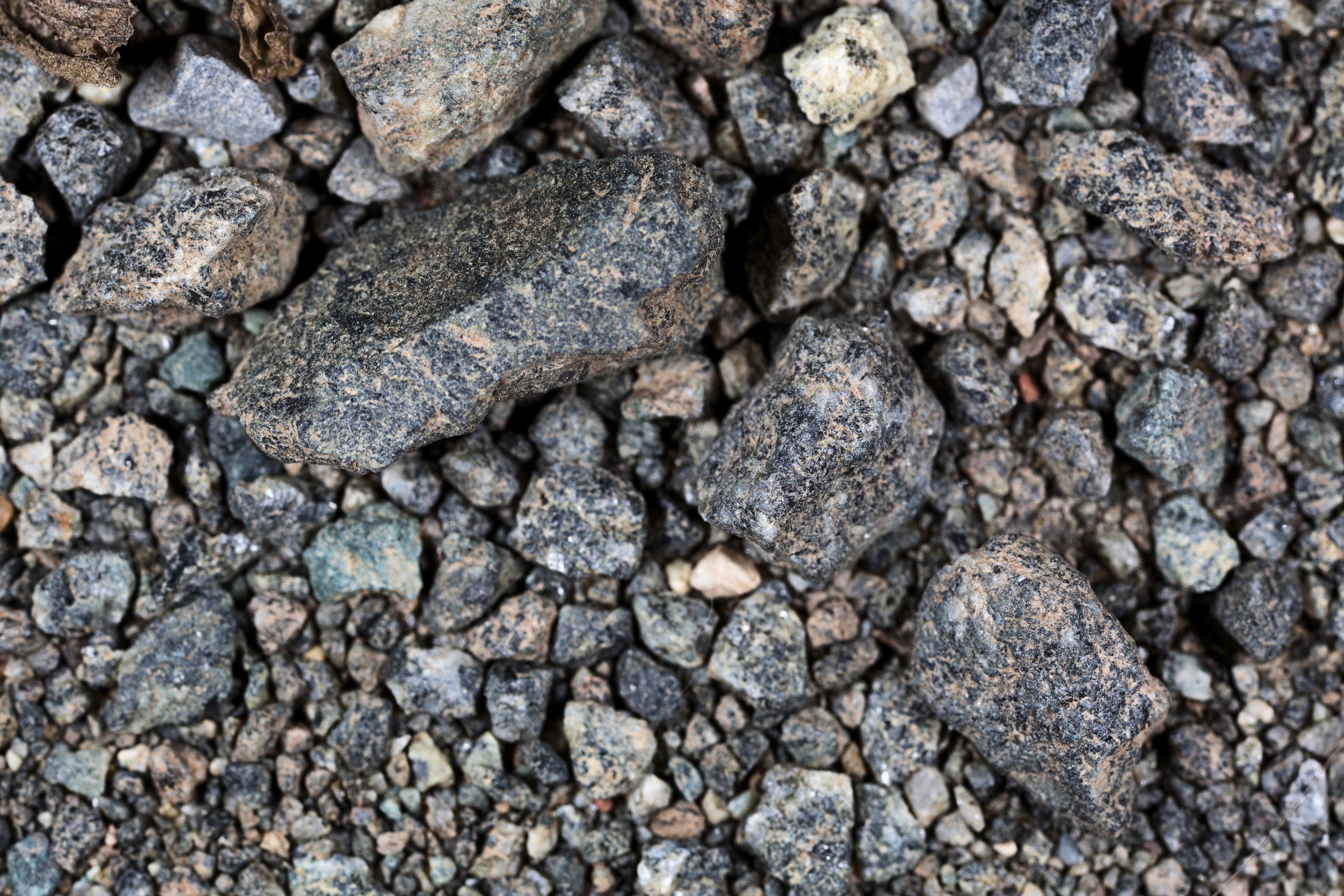
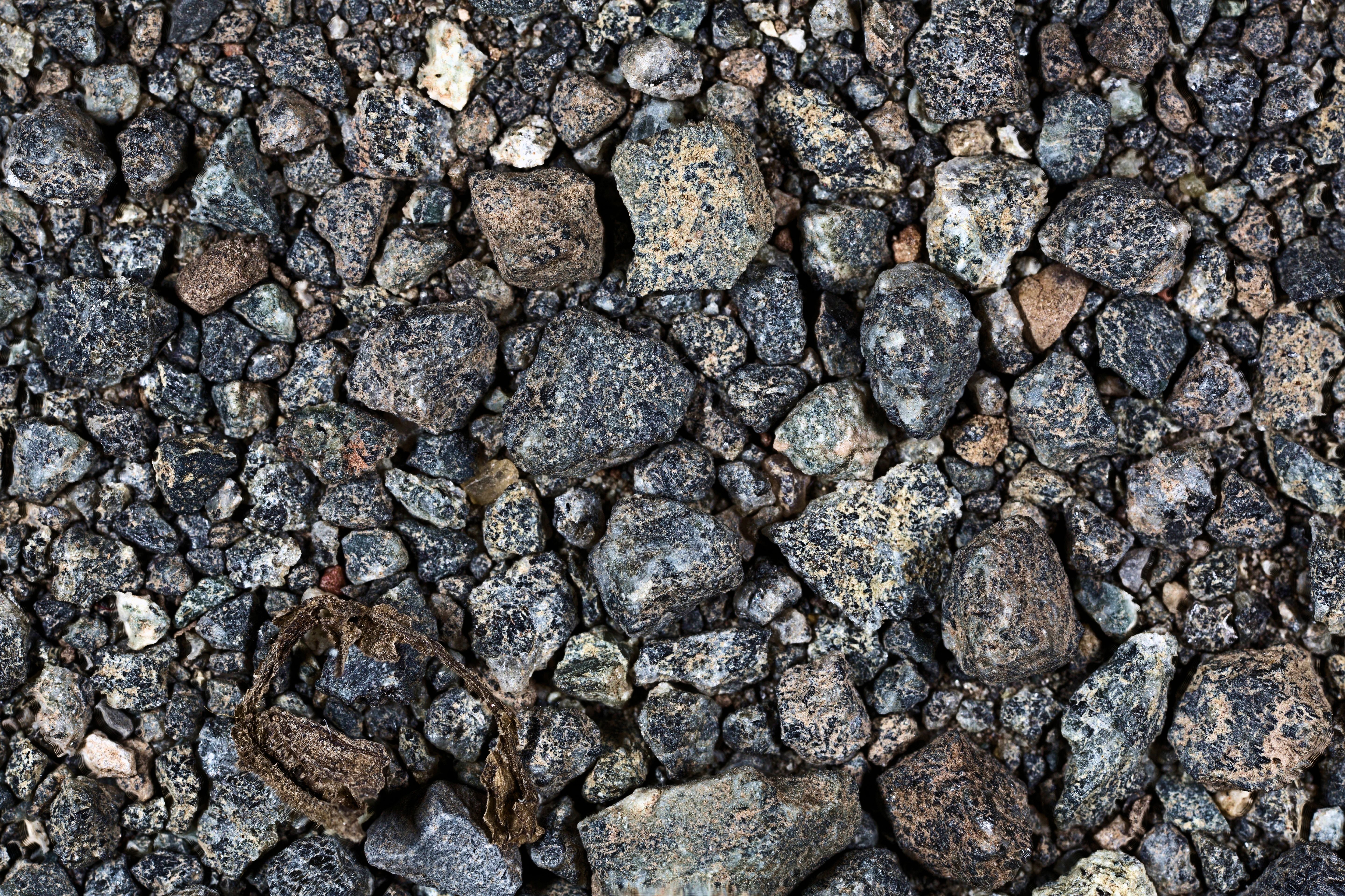
1X MAGNIFICATION (YELLOW LINE = 2MM)
Return to Virginia Sand to view high resolution versions of all Virginia samples. Click the thumbnails above to view high resolution versions of these samples.
Return to USA Map
Return to Home