Wikipedia Commons Image
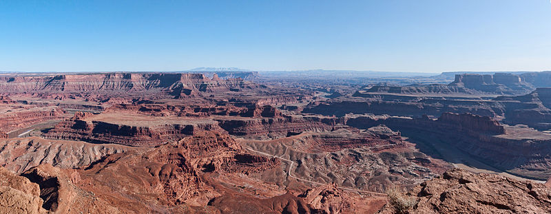
Dead Horse Point Panorama
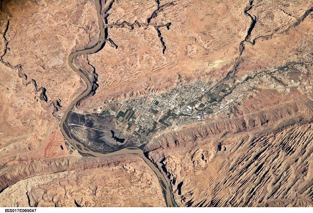
International Space Station 800 mm Photograph
Image credit: Image Science and Analysis Laboratory, NASA Johnson Space Center (http://eol.jsc.nasa.gov)
DEAD HORSE POINT STATE PARK 38.51N, 109.74W
The link is to the Wikipedia page on Dead Horse Point.
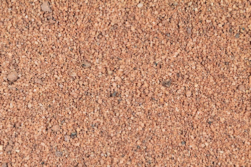
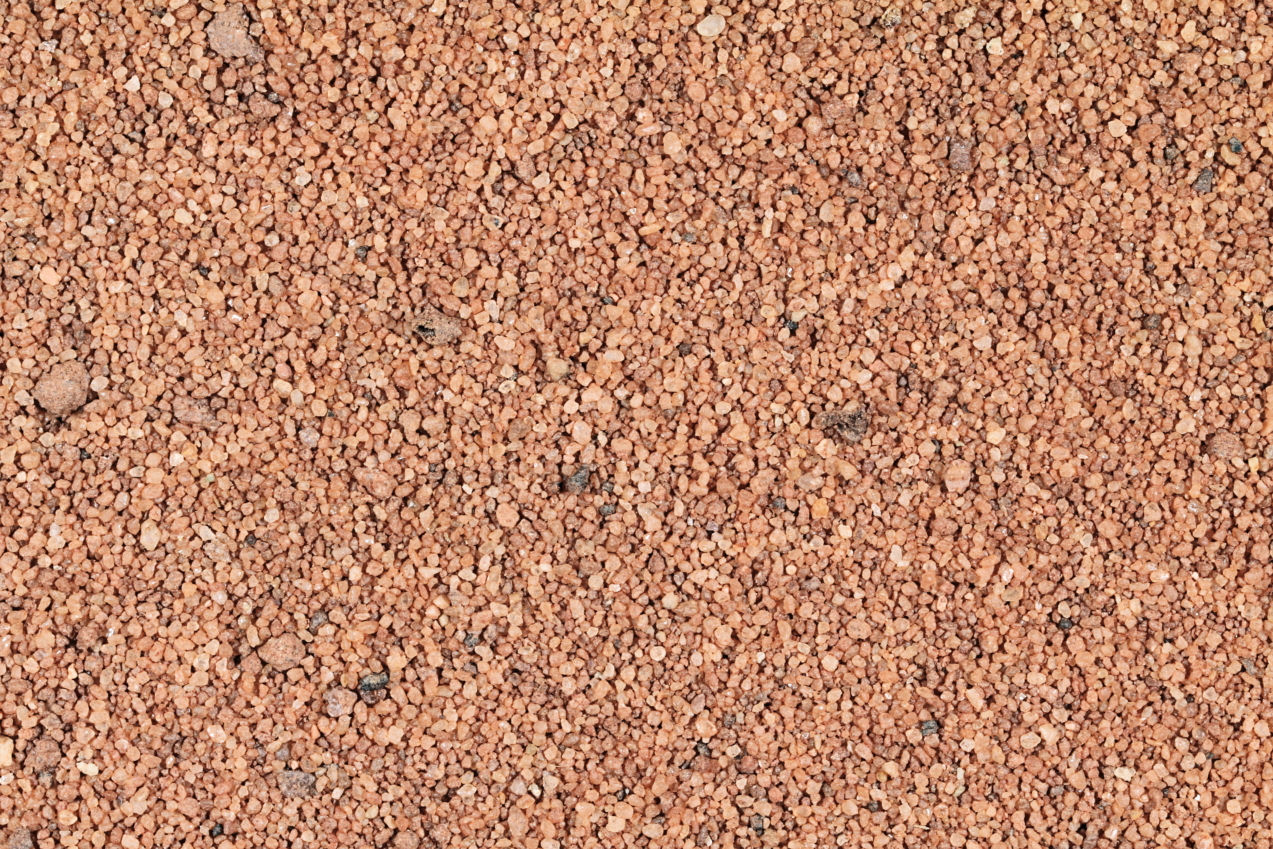
ZERO MAGNIFICATION IMAGE
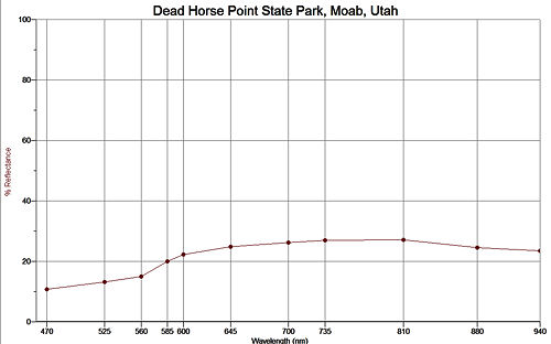
REFLECTANCE SPECTRUM
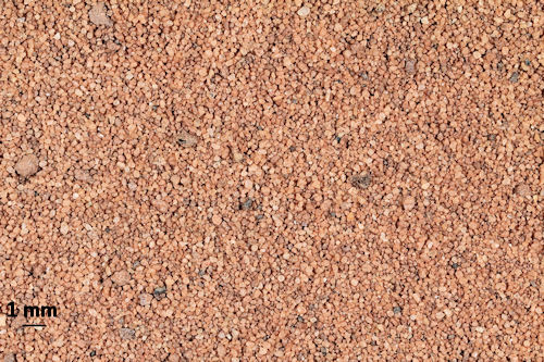
1X MAGNIFICATION (BLACK LINE = 1MM)
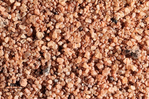
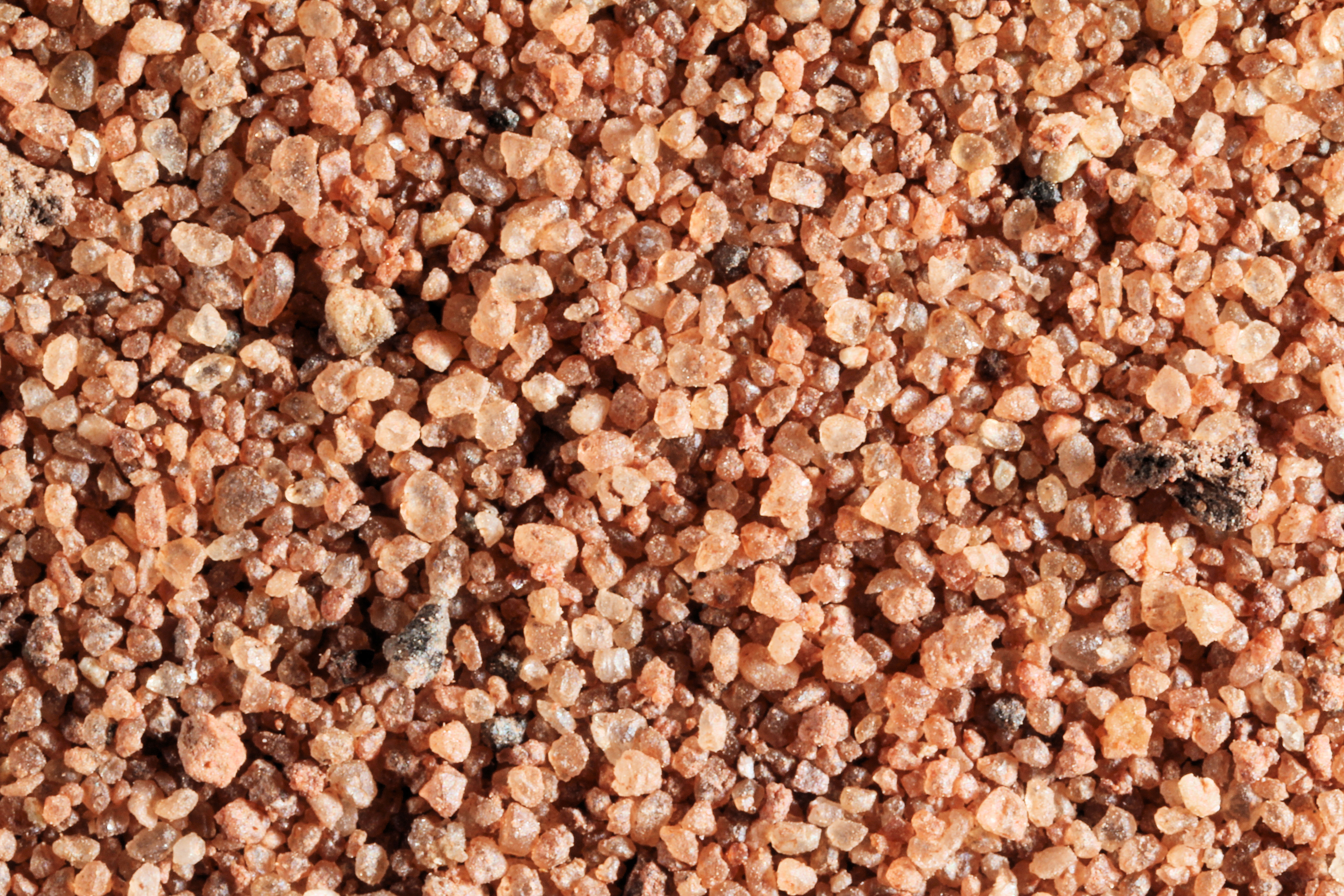
3X MAGNIFICATION (RED LINE = 1MM)
Return to Utah Sand to view high resolution versions of all Utah sand samples. Click the thumbnails above to view high resolution versions of Dead Horse Point sand.
Return to USA Map
Return to Home
