|
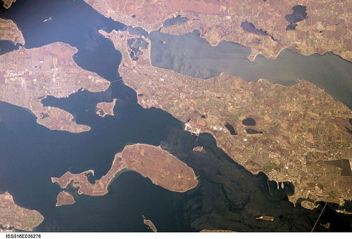
International Space Station
400mm Photograph
Image credit:
Image Science and Analysis
Laboratory, NASA Johnson Space Center (http://eol.jsc.nasa.gov)
|
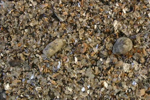
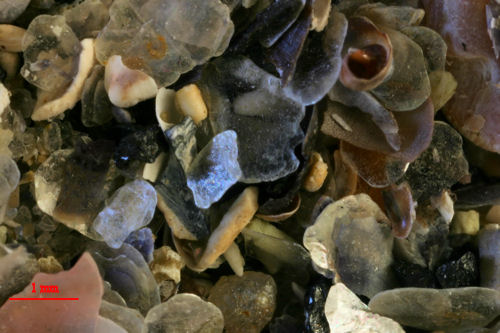
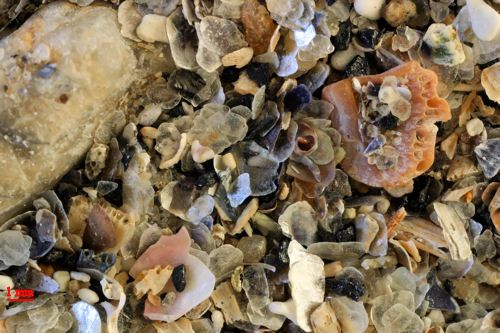
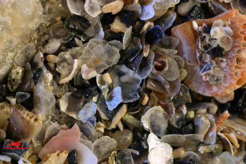
BONNET SHORES 41.48N, 71.42W
Other than real estate ads, the sites are
very limited for Bonnet Shores. This link is to a review of
the beach.
NOTE: The sample was collected at the
water's edge.
|