|
International Space Station
800mm Photograph
Image credit:
Image Science and Analysis
Laboratory, NASA Johnson Space Center (http://eol.jsc.nasa.gov)
|
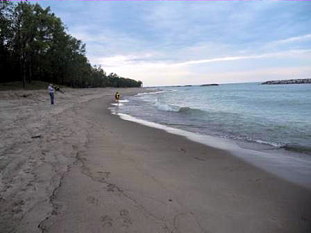
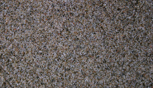
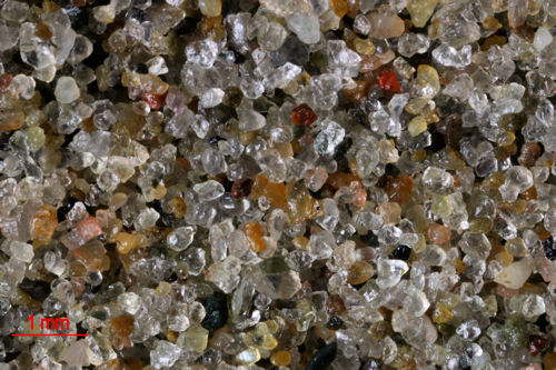
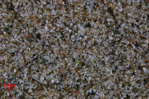
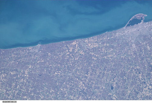
PRESQUE ISLE STATE PARK
42.14N, 80.10W
The link is to the Wikipedia
page on Presque Isle State Park.
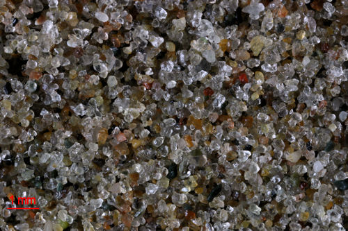
"Lake Erie is one of the Great
Lakes, and part of the world's largest supply of fresh
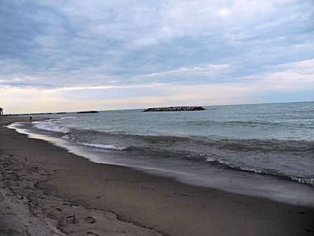
water. The sample os taken from Short Jetty Beach, one of
the Mill Road beaches, on Presque Isle State Park.
The photos I did get show the breakwalls which have been
built along the shore to limit erosion. You might notice
the scalloped appearance of the shoreline due to the
breakwalls. Presque Isle is a peninsula in Lake Erie and
actually shifts positions over time. The sand that erodes
from the shoreline is deposited at the tip of the peninsula
which in turn lengthens the peninsula over time. Using
Google Earth and looking at views of the peninsula over time
you can actually see the shifts in the shape of the
peninsula." L.
Forbes
C. and L. Forbes Photographs
|