C. Ansbergs Photographs
|
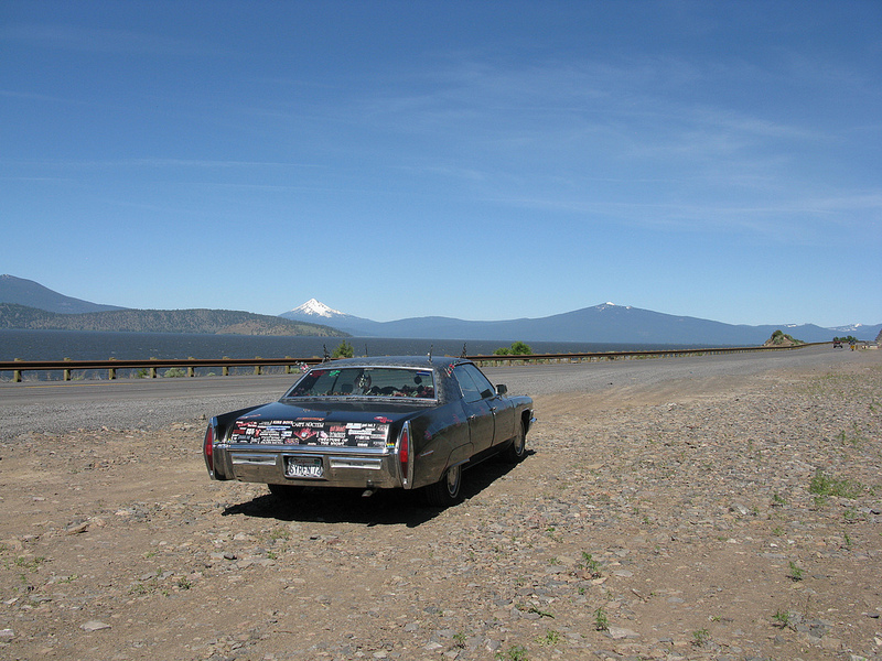
International Space Station 180mm Photograph Image credit: Image Science and Analysis Laboratory, NASA Johnson Space Center (http://eol.jsc.nasa.gov) |
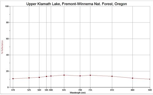
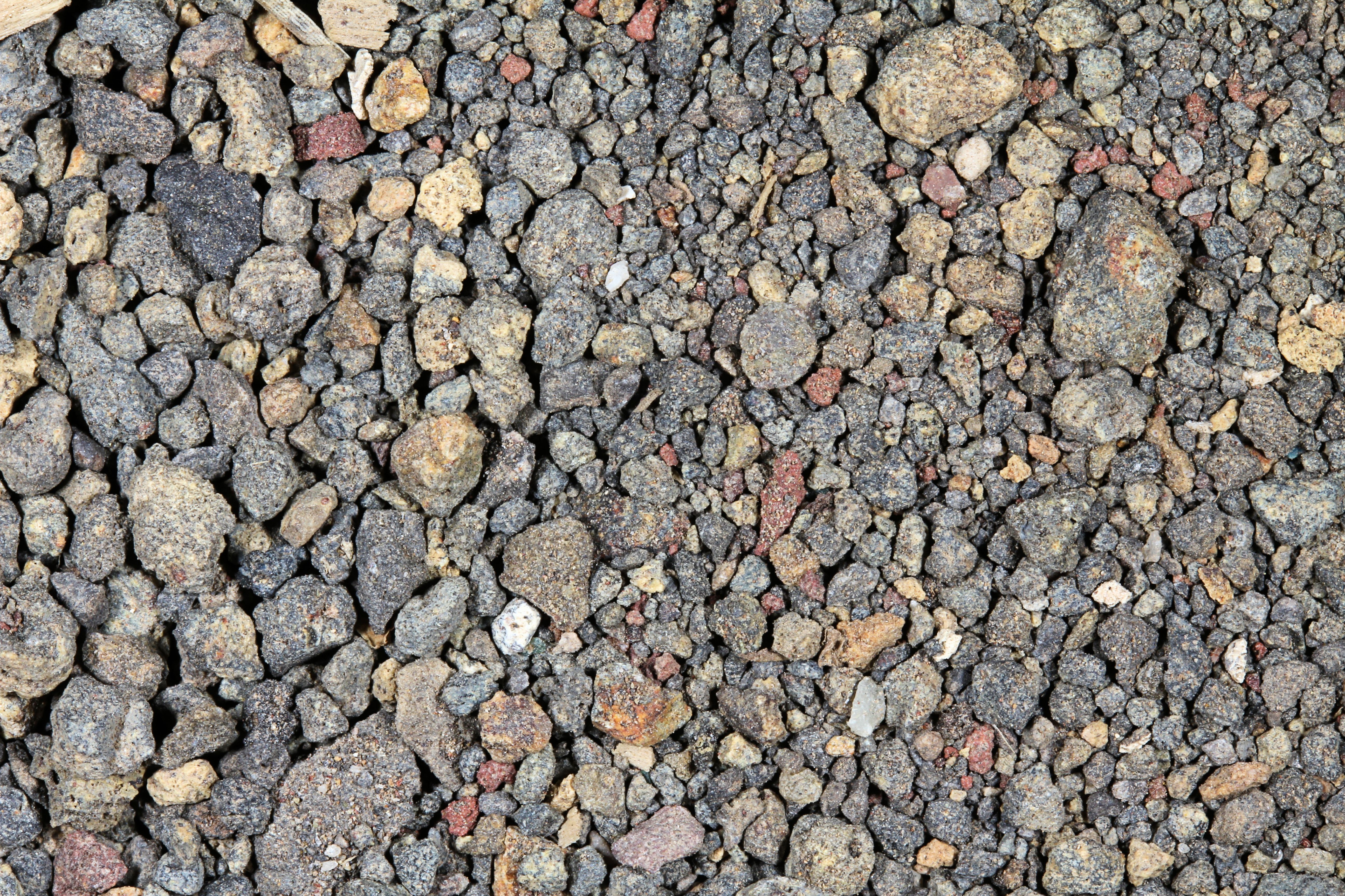
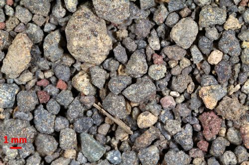
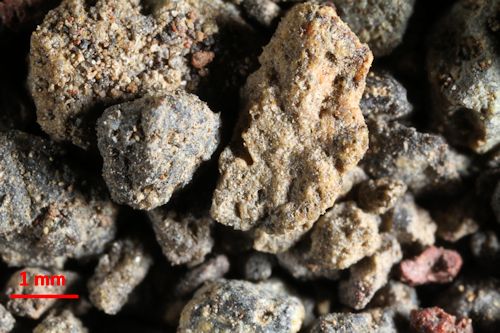
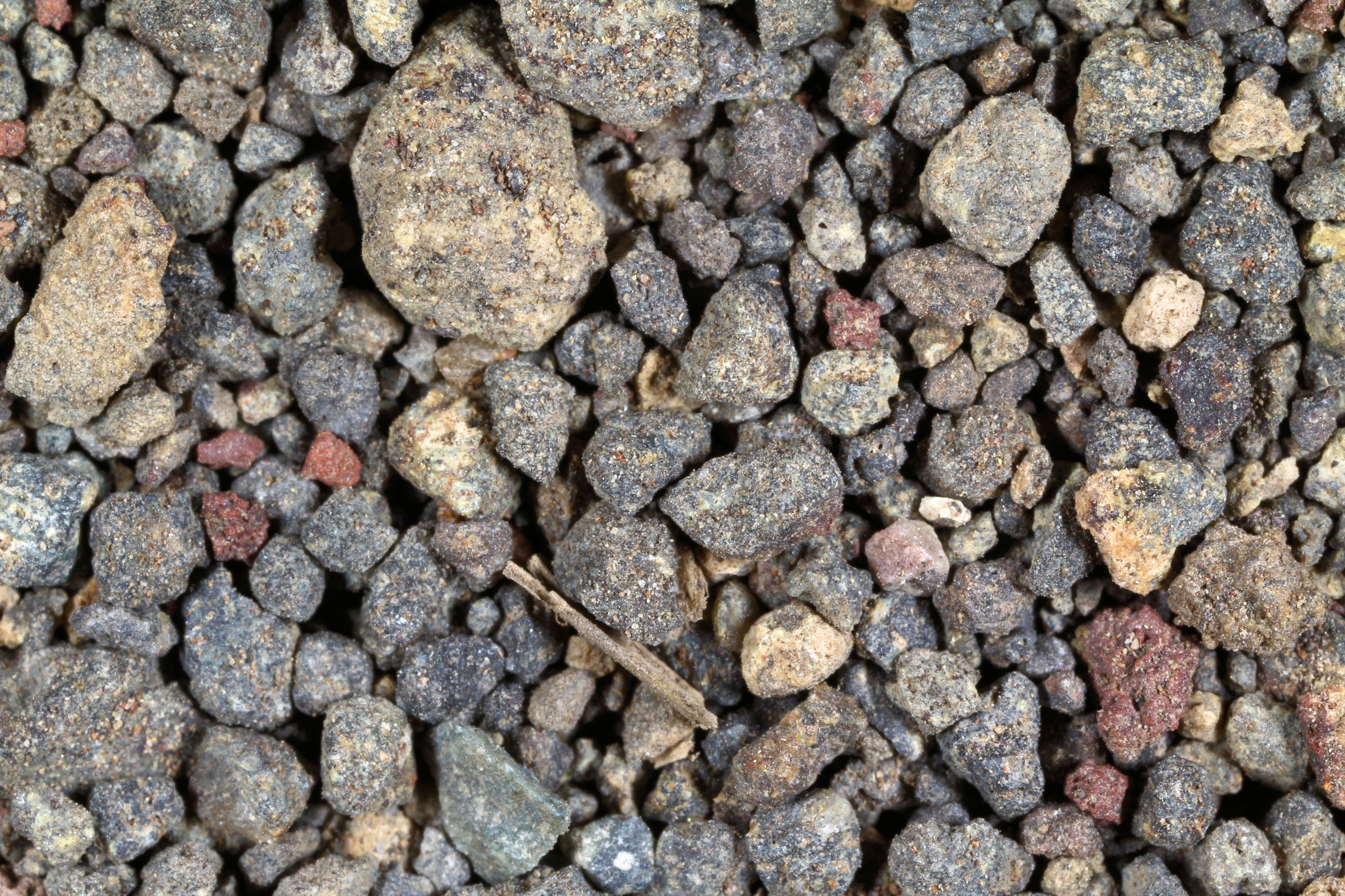
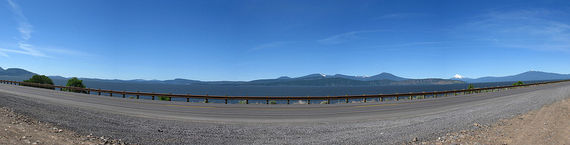
UPPER KLAMATH LAKE, FREMONT WINEMA NAT. FOREST ≈ 42.94N, ≈121.31W The link is to the Wikipedia page on the forest.
|
|
|
|
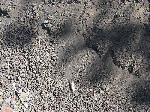
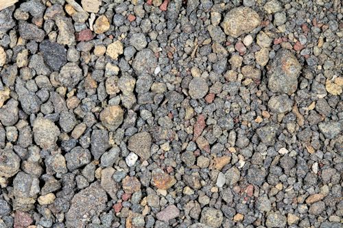
Return to Oregon Sand to view all Oregon samples in high resolution. Click the thumbnails above to view these samples in high resolution.
Return to USA Map
Return to Home