|
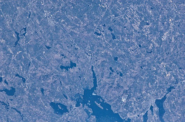
International Space Station
180mm Photograph
Image credit:
Image Science and Analysis
Laboratory, NASA Johnson Space Center (http://eol.jsc.nasa.gov)
|
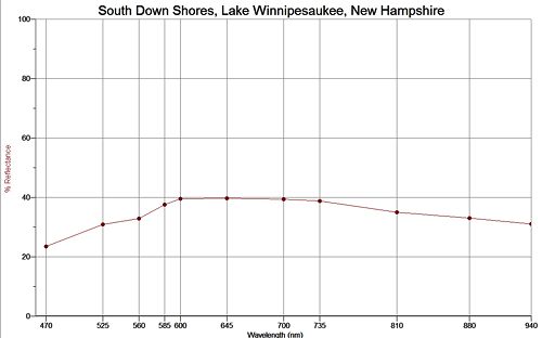
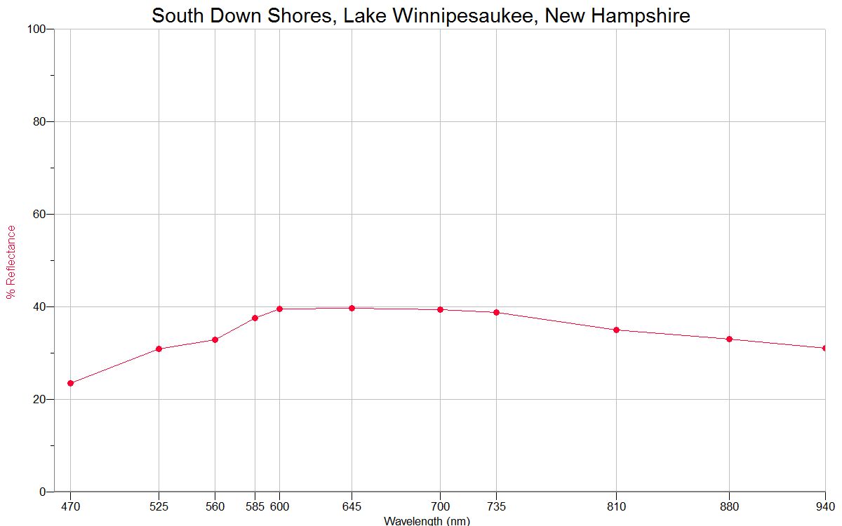
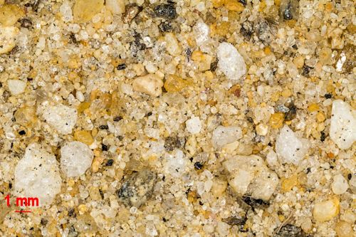
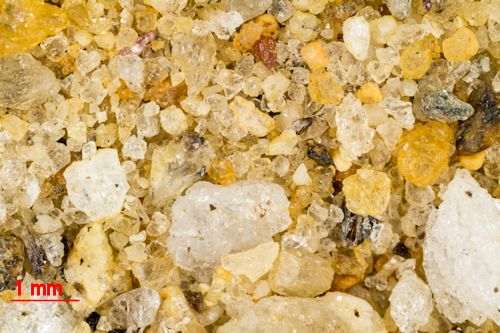
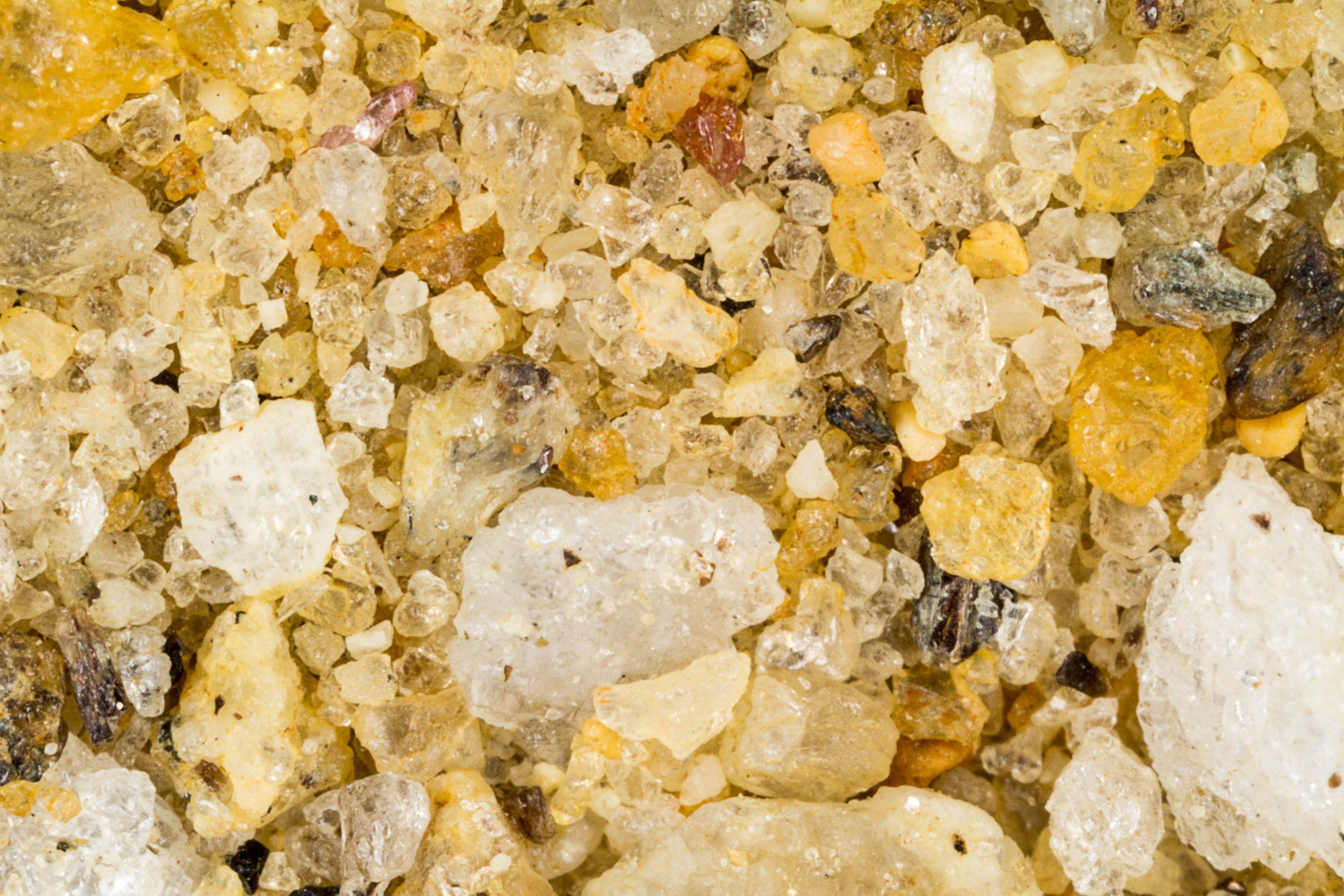
SOUTH DOWN SHORES, LAKE WINNIPESAUKEE, LACONIA 43.60N,
71.32W
The link is to the Wikipedia page on the lake.
|

