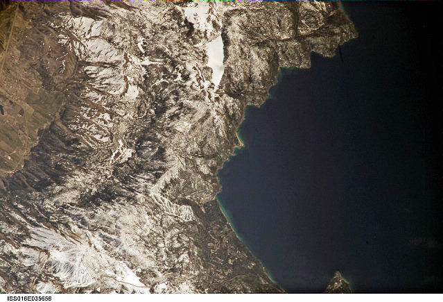
International Space Station 800 mm Image
Image credit: Image Science and Analysis Laboratory, NASA Johnson Space Center (http://eol.jsc.nasa.gov)
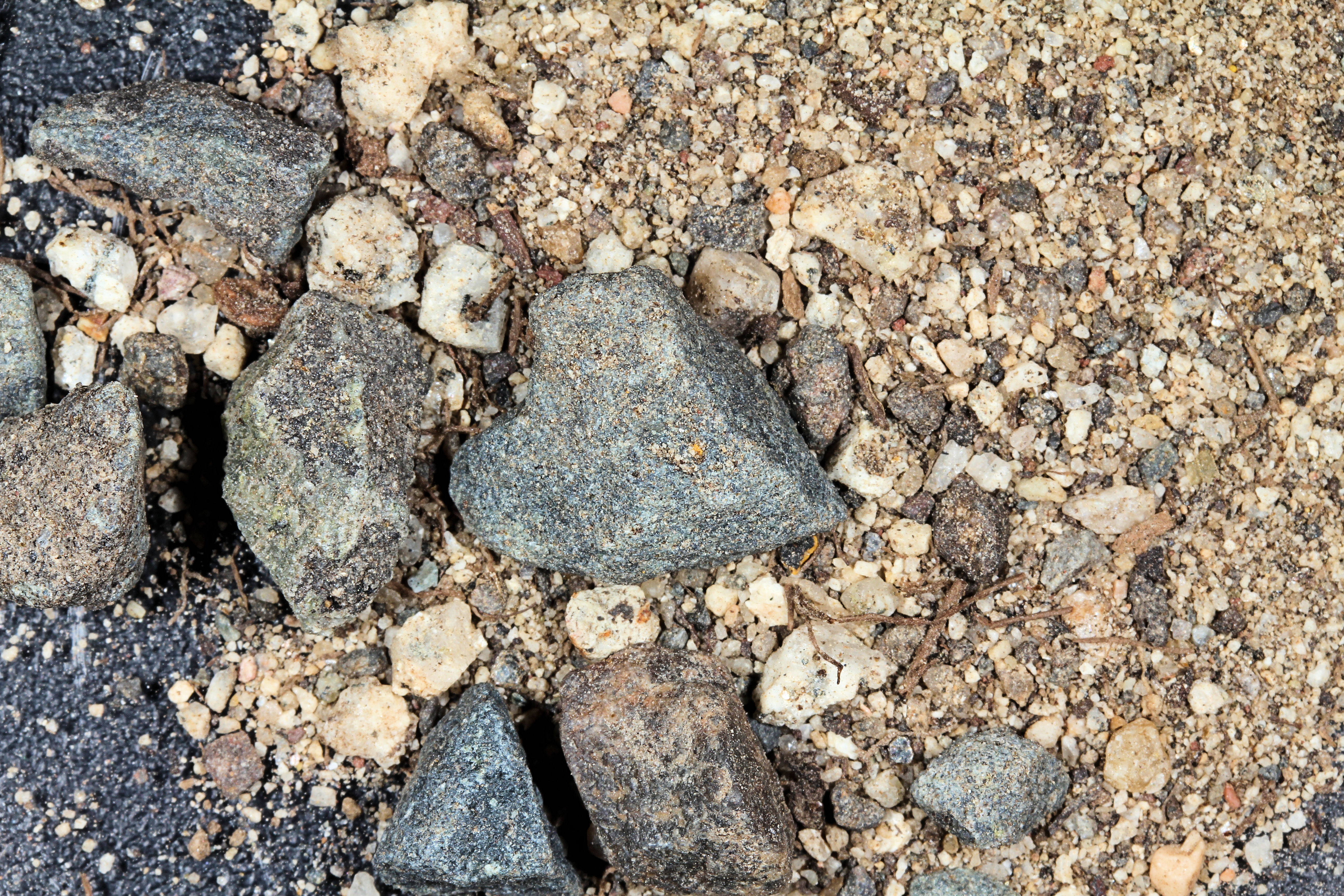
HIGHWAY 50 NEAR CARSON CITY 39.16N, 119.75W
The link is to the Wikipedia page on the Carson City.
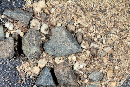
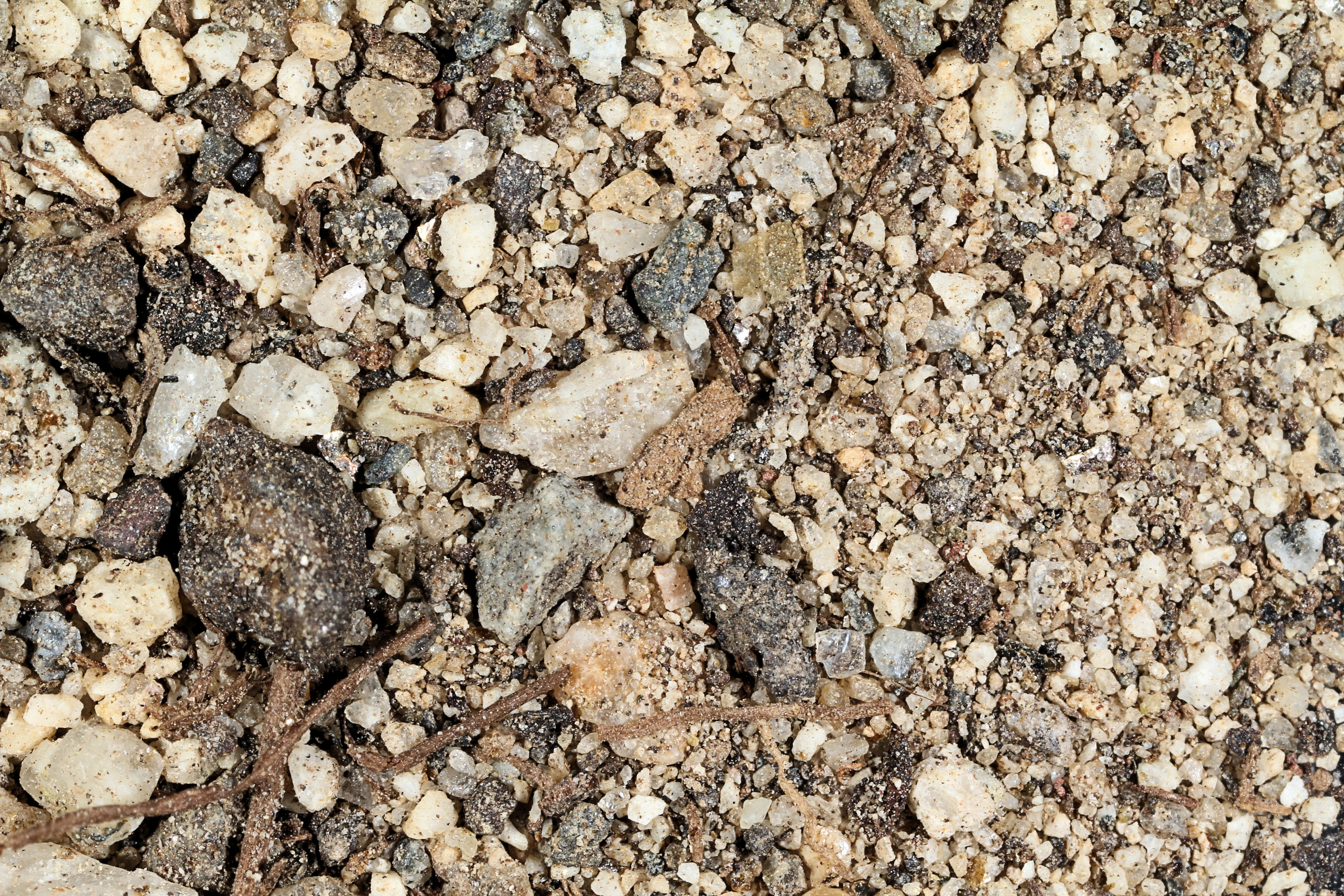
ZERO MAGNIFICATION IMAGE
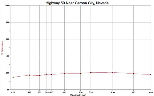
REFLECTANCE SPECTRUM
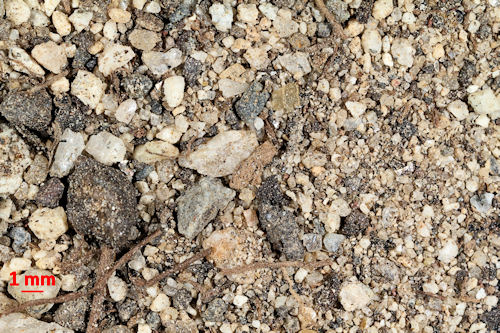
1X MAGNIFICATION (RED LINE = 1MM)
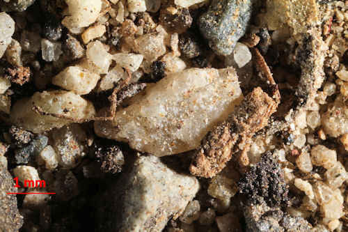
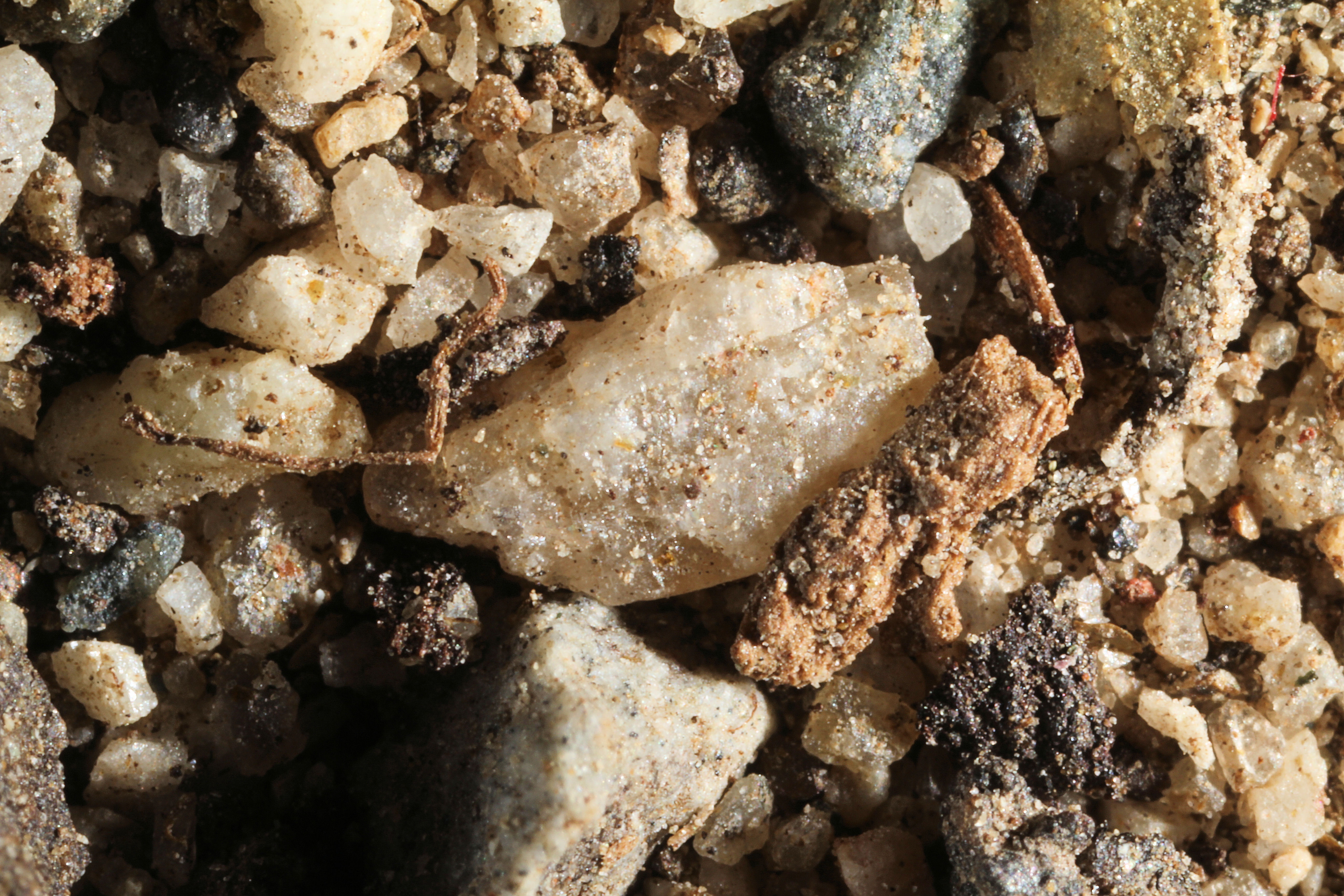
3X MAGNIFICATION (RED LINE = 1MM)
Return to Nevada Sand to view a high resolution version of all Nevada images. Click on the thumbnails above to view high resolution versions of them.
Return to USA Map
Return to Home