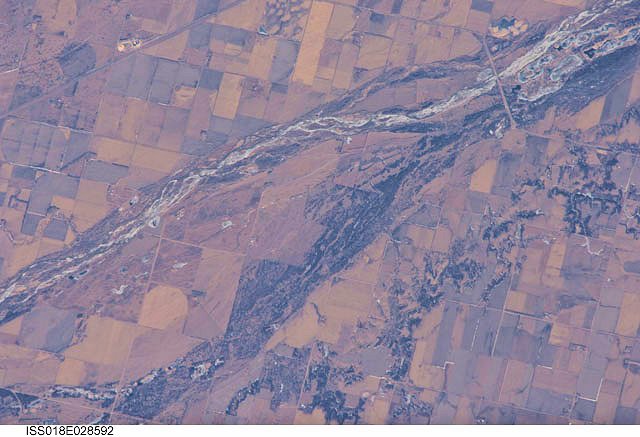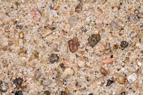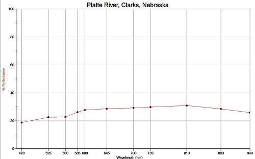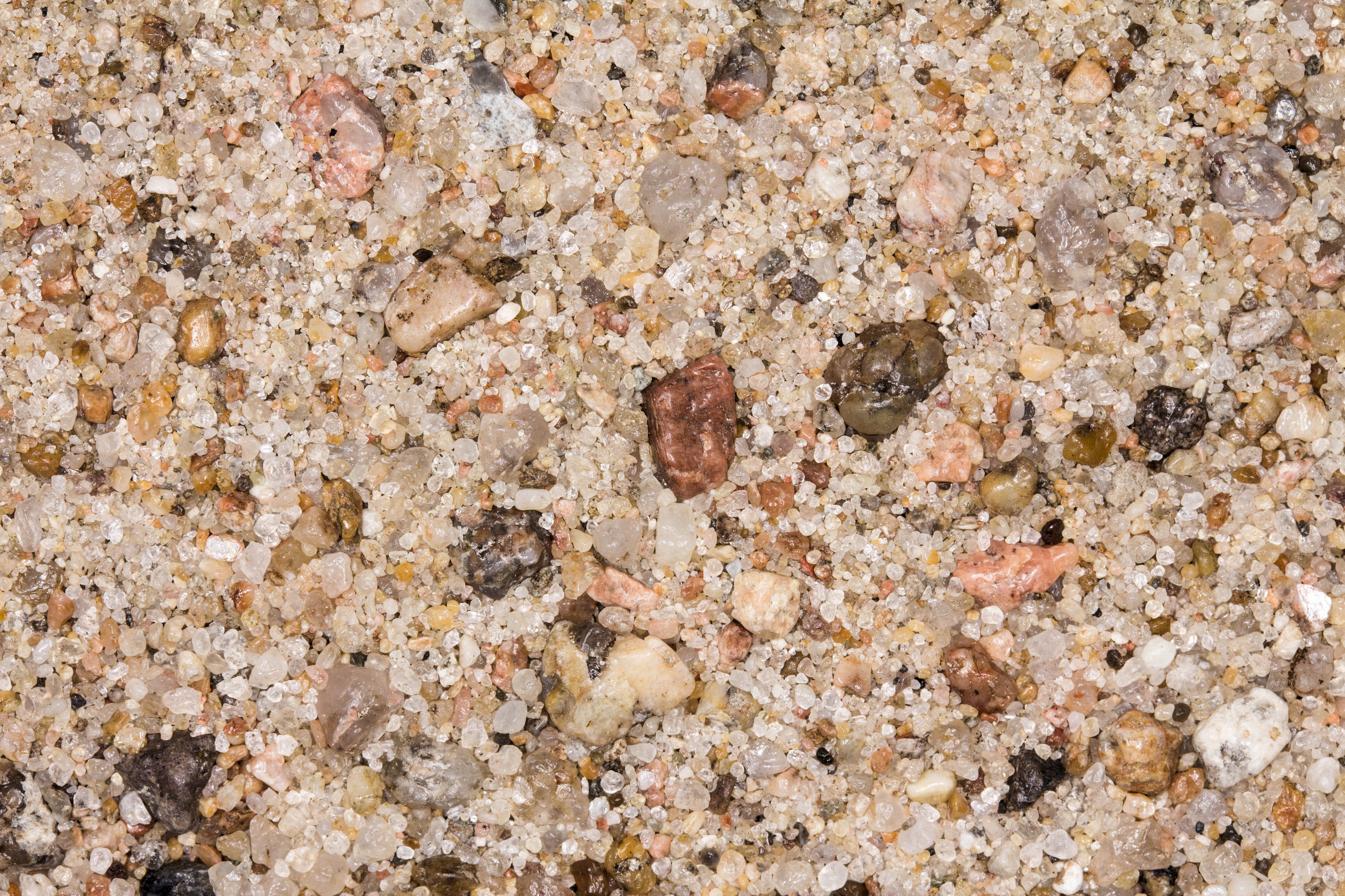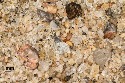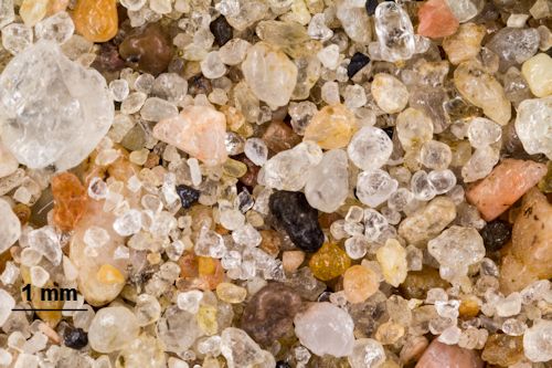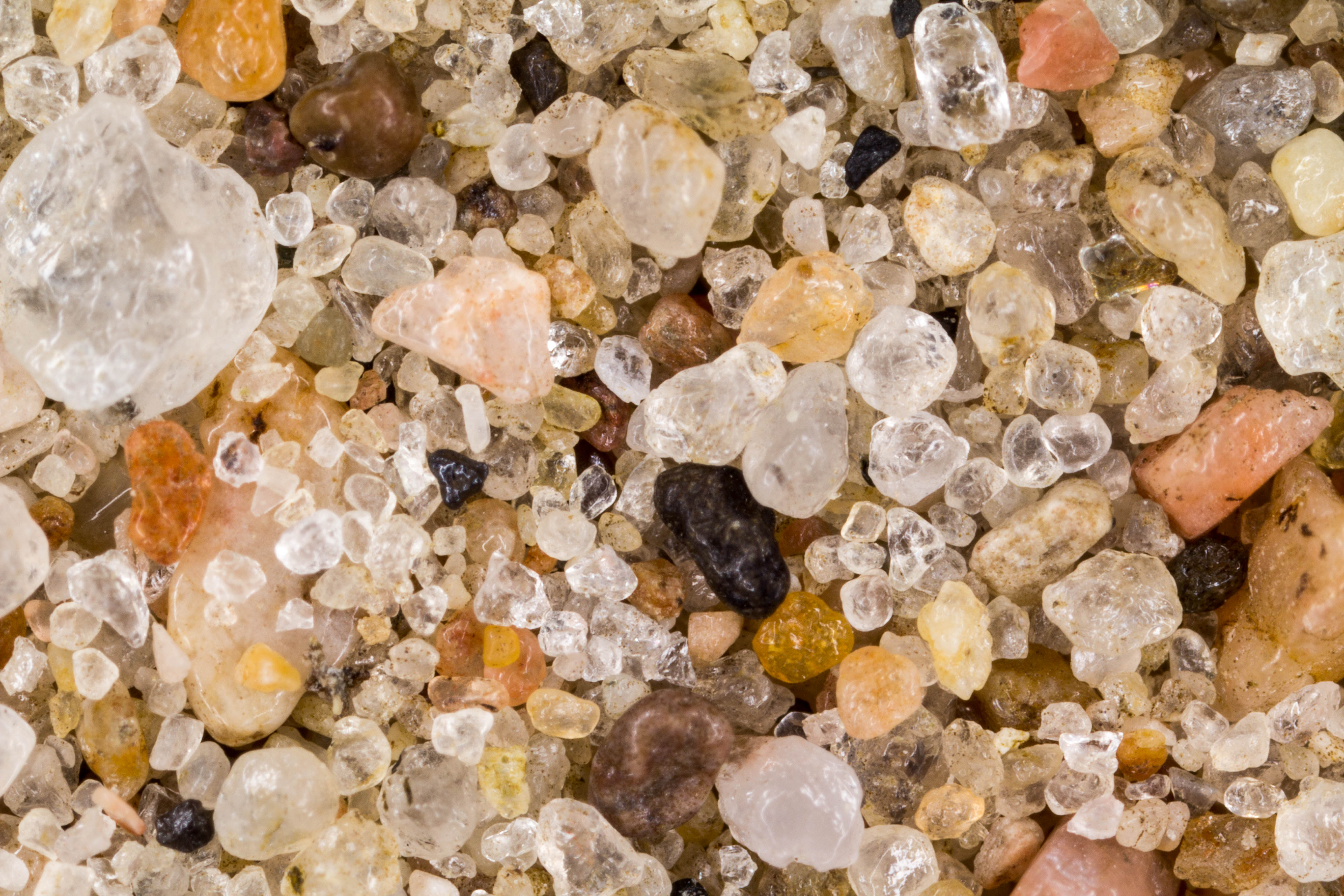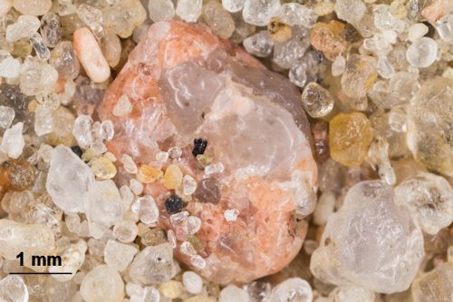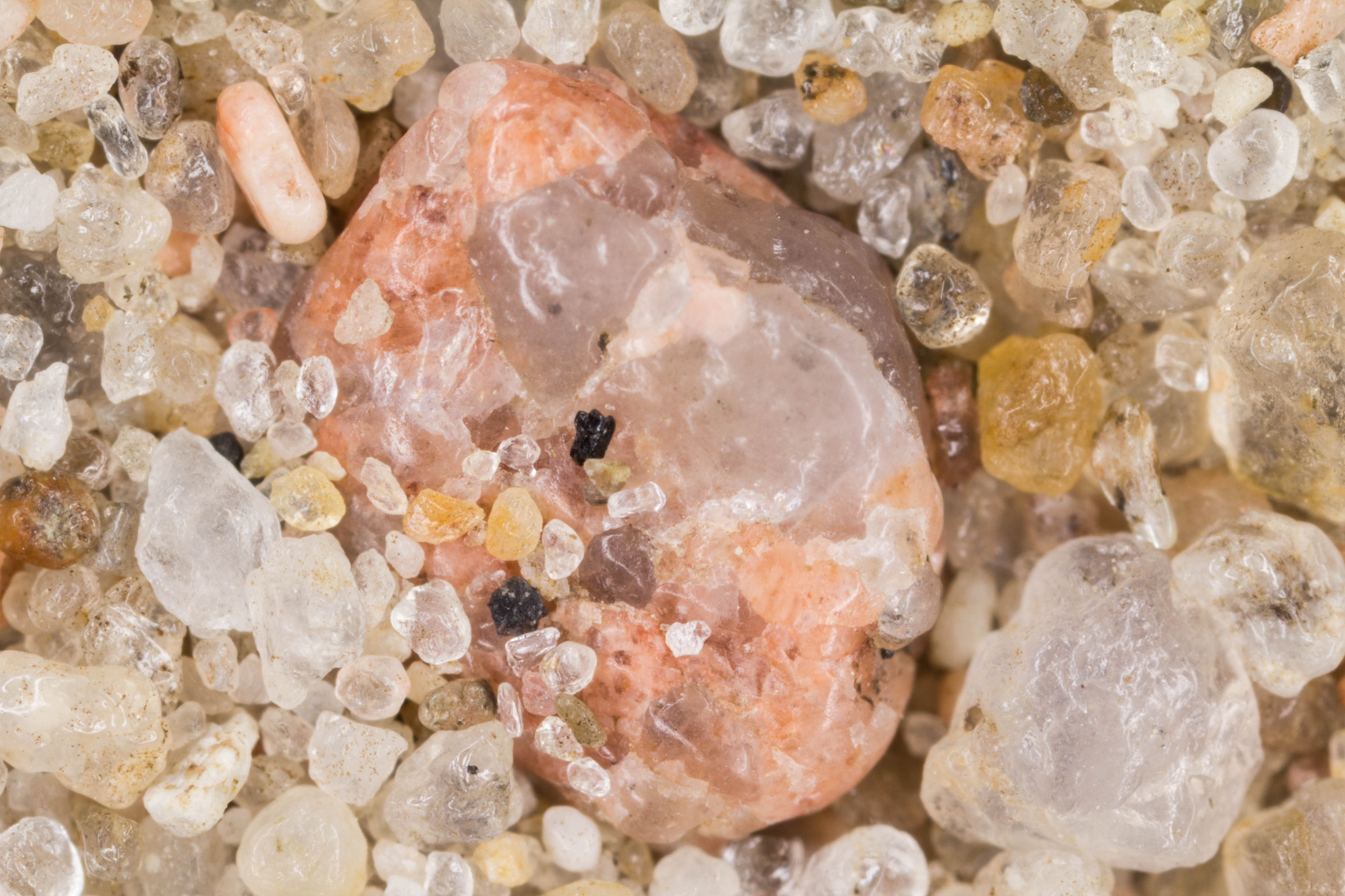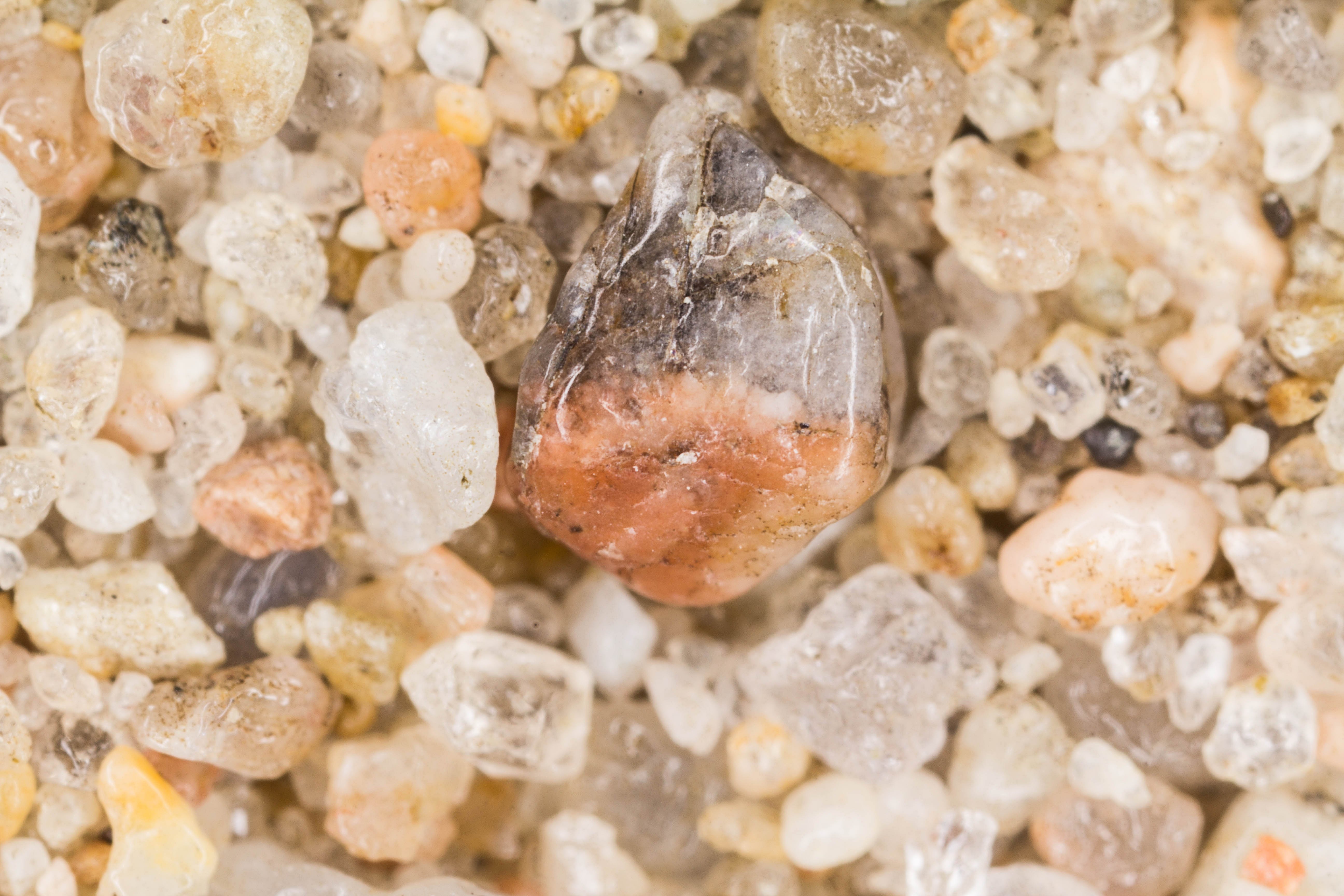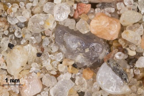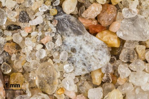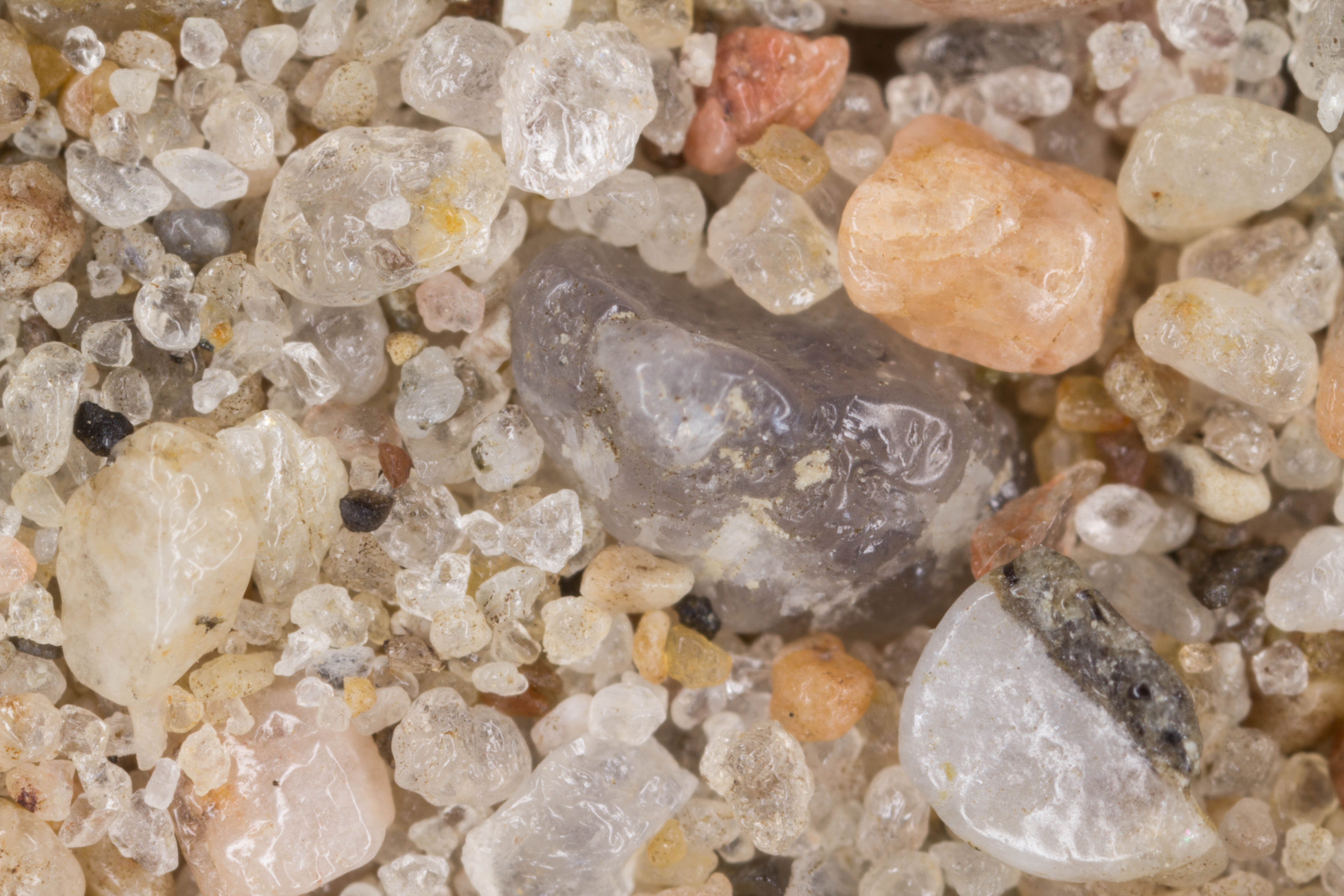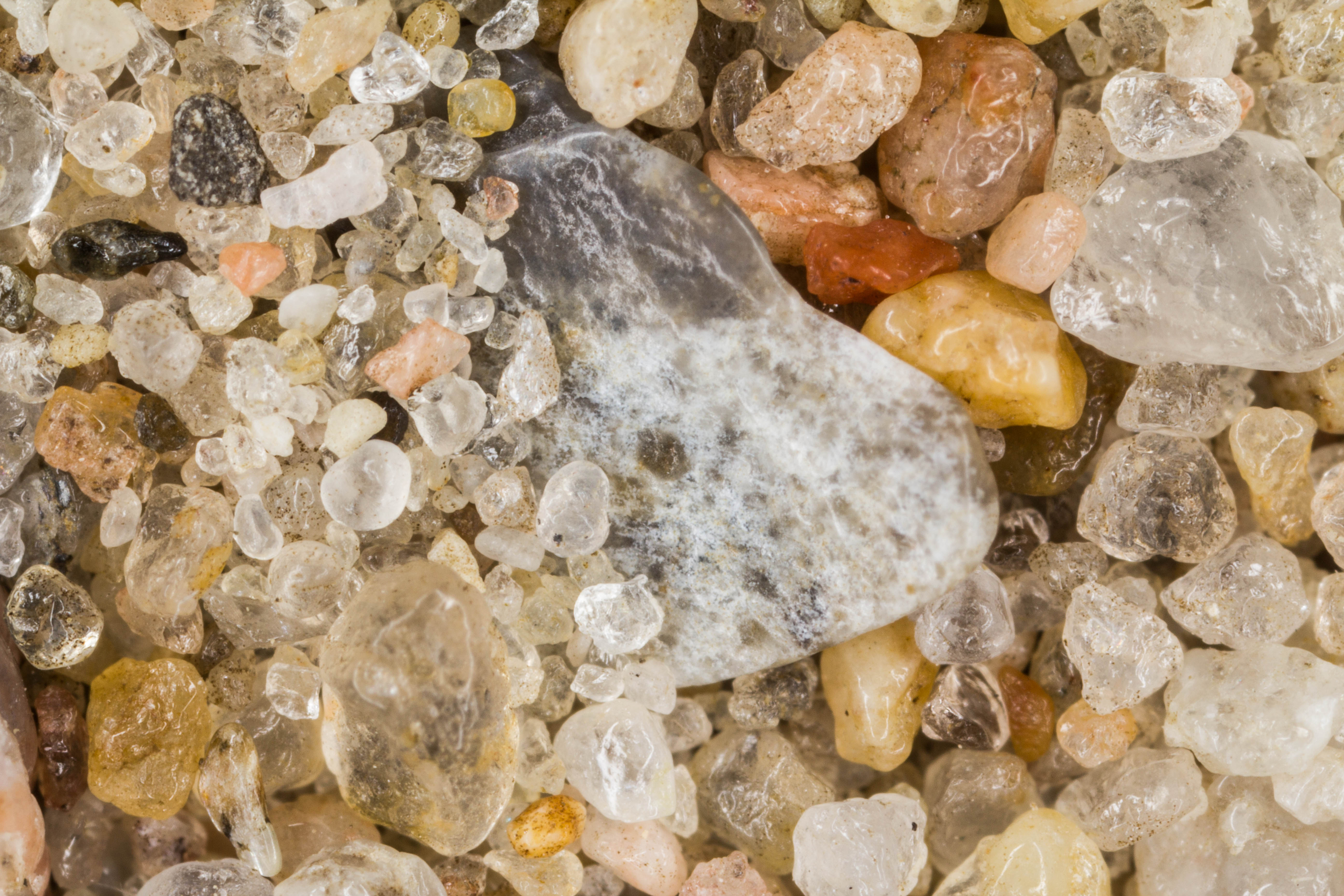
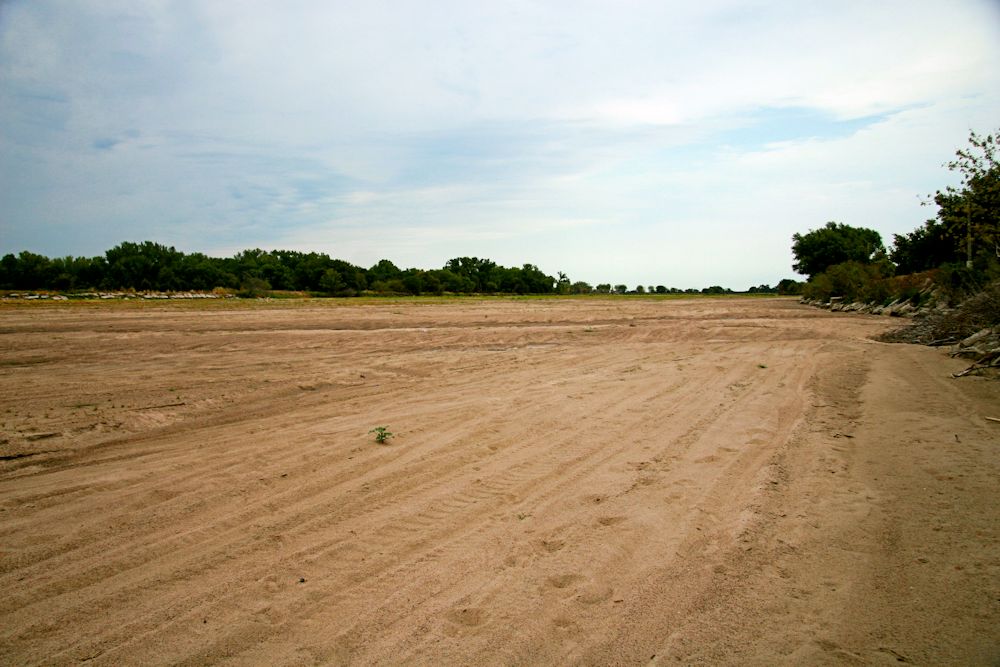
"Nebraska two years ago had a flood situation, and one year ago had a drought. This sand is from the bottom of the dried up Platte River that cuts through Nebraska. I walked out a half mile to the middle of the 'river' to collect this. Along the way were lots of fish skeletons left behind a year ago by the fish who had nowhere to go - so there may be biological remains in with the sand. This sand is from an area near a small town called Clarks." - Leisa Kolberg
|
Return to Nebraska Sand The sample was collected by Leisa Kolberg, a faculty member from the St. Vincent de Paul Catholic School in Omaha, Nebraska.
Return to USA Map
Return to Home