Gallatin River

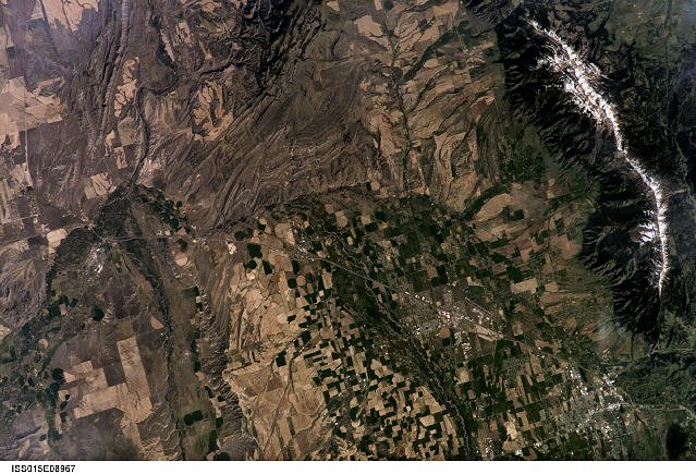
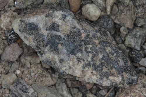
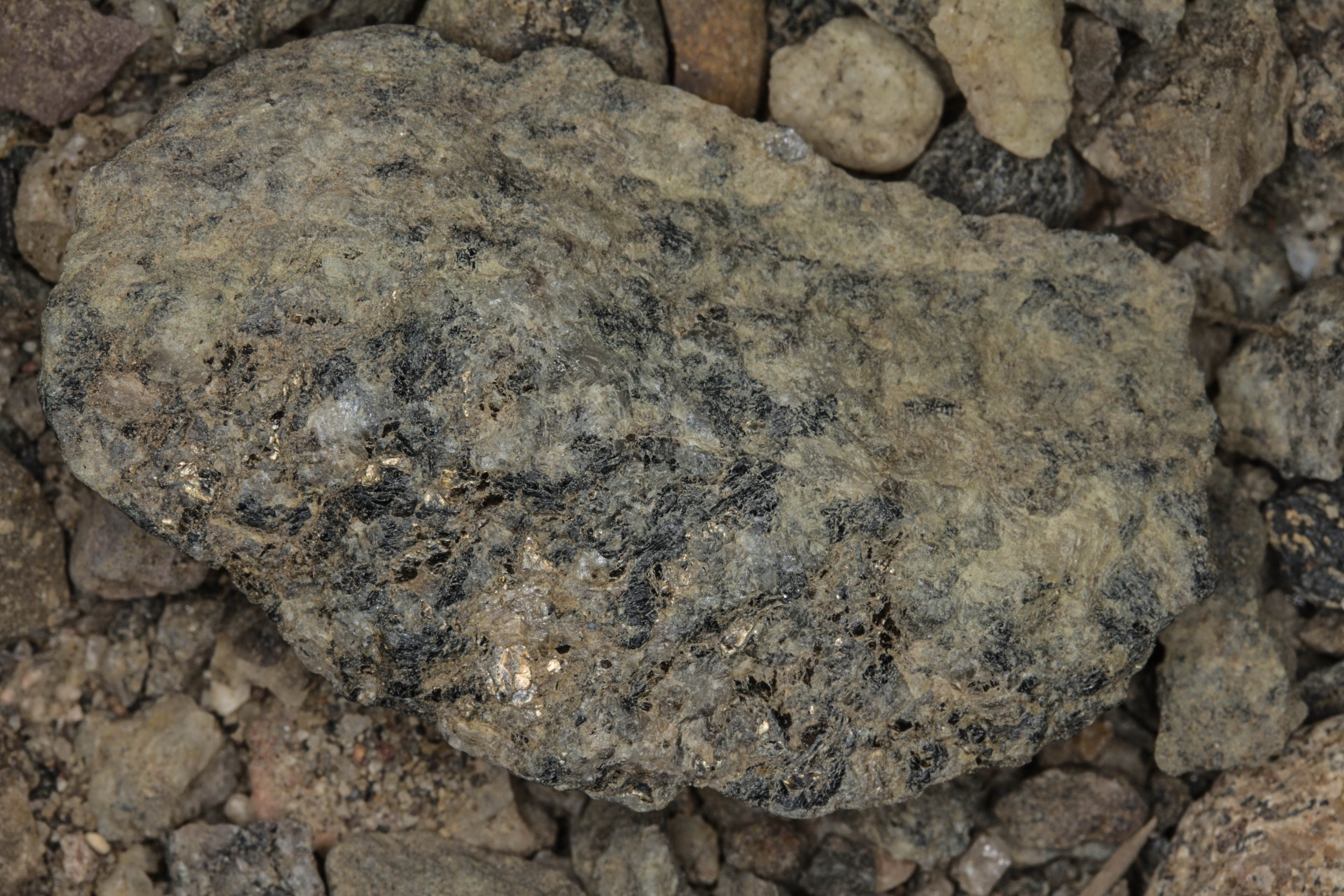
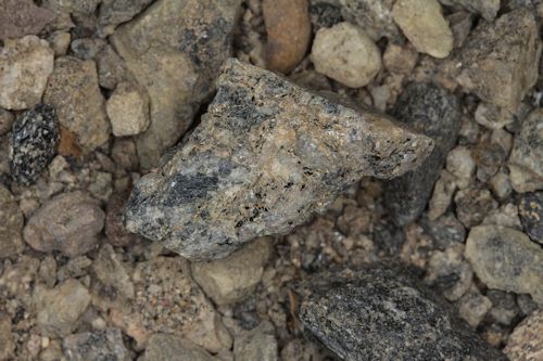
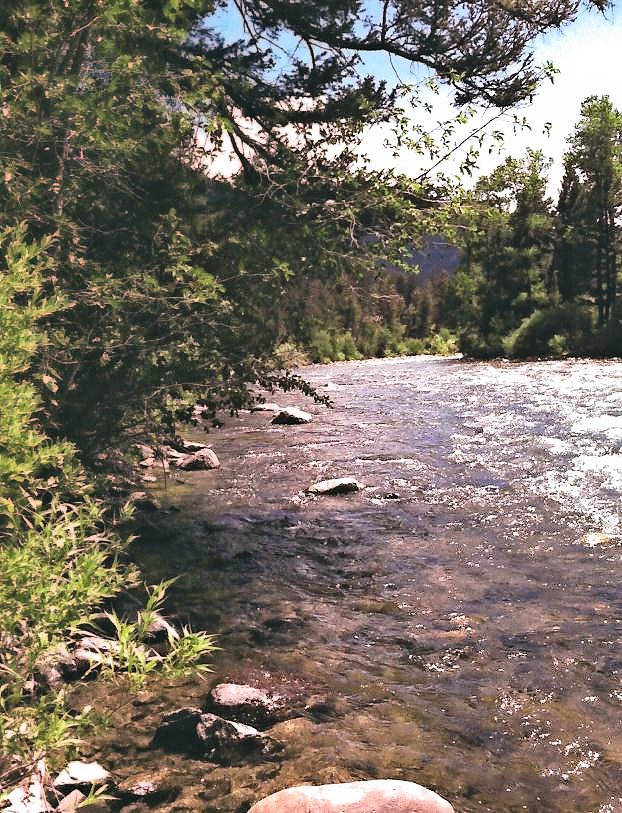
                                                                                                         S. McComb Photograph

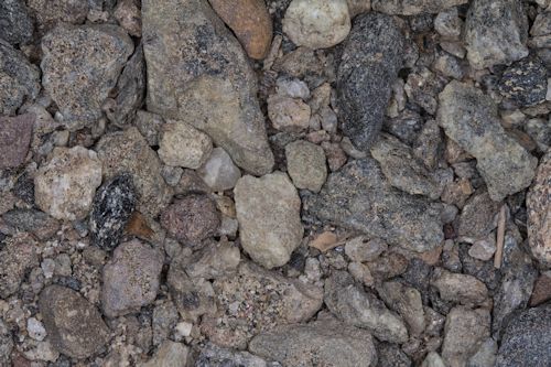
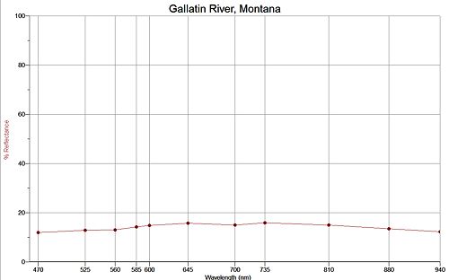
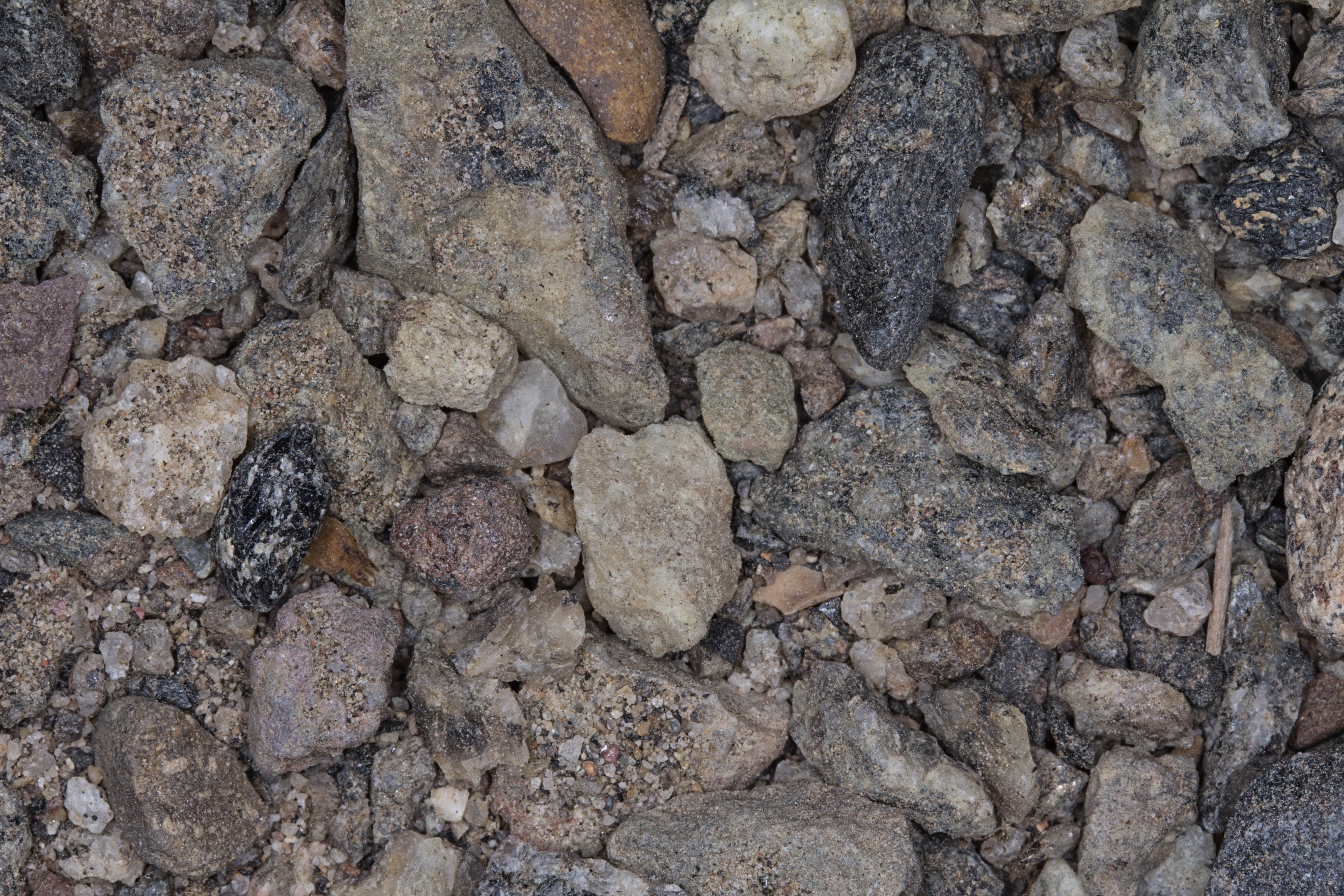
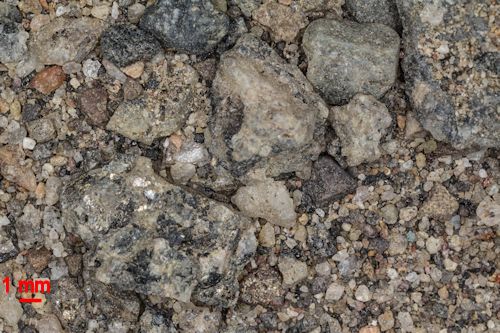
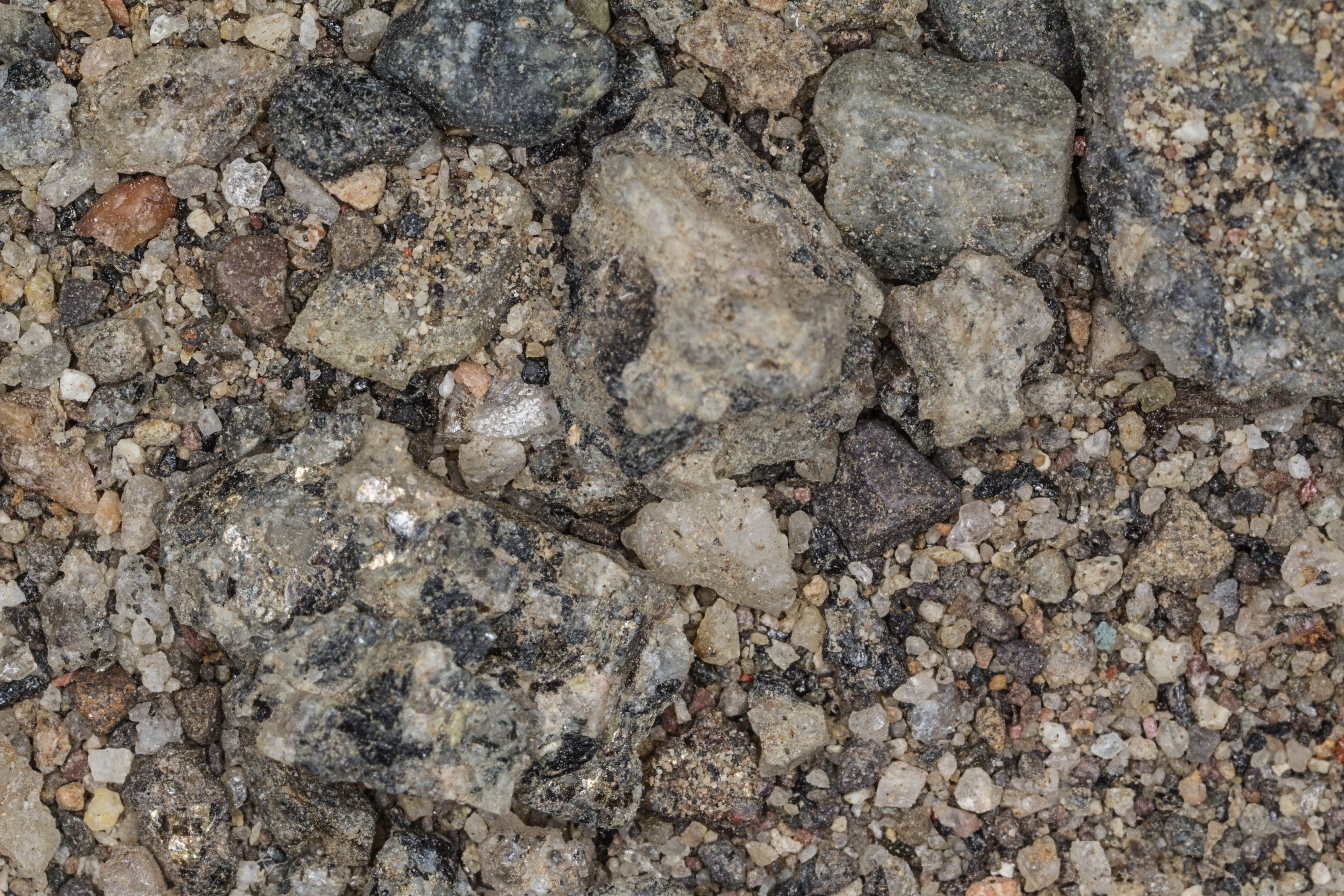
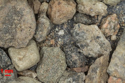
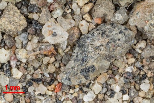
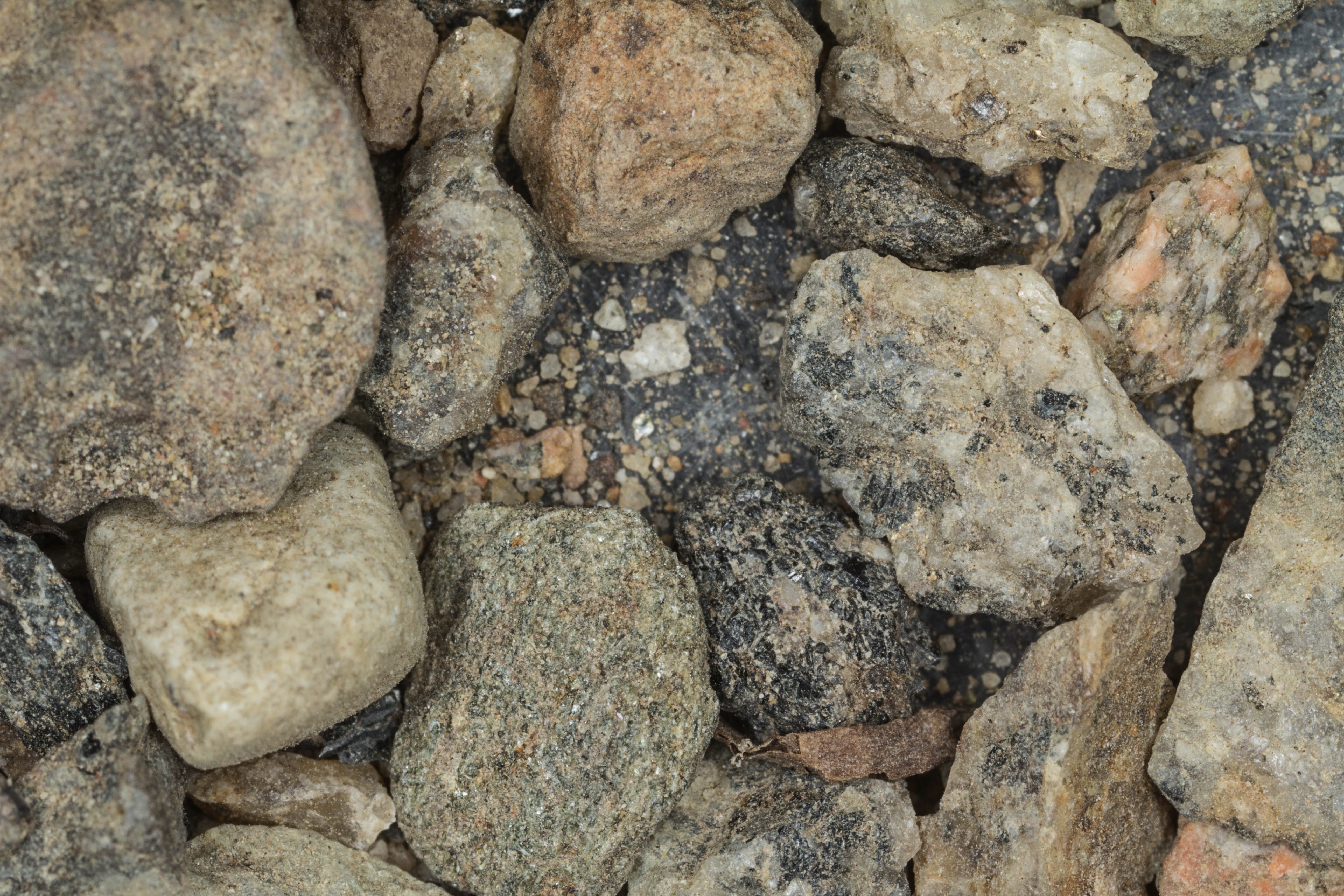
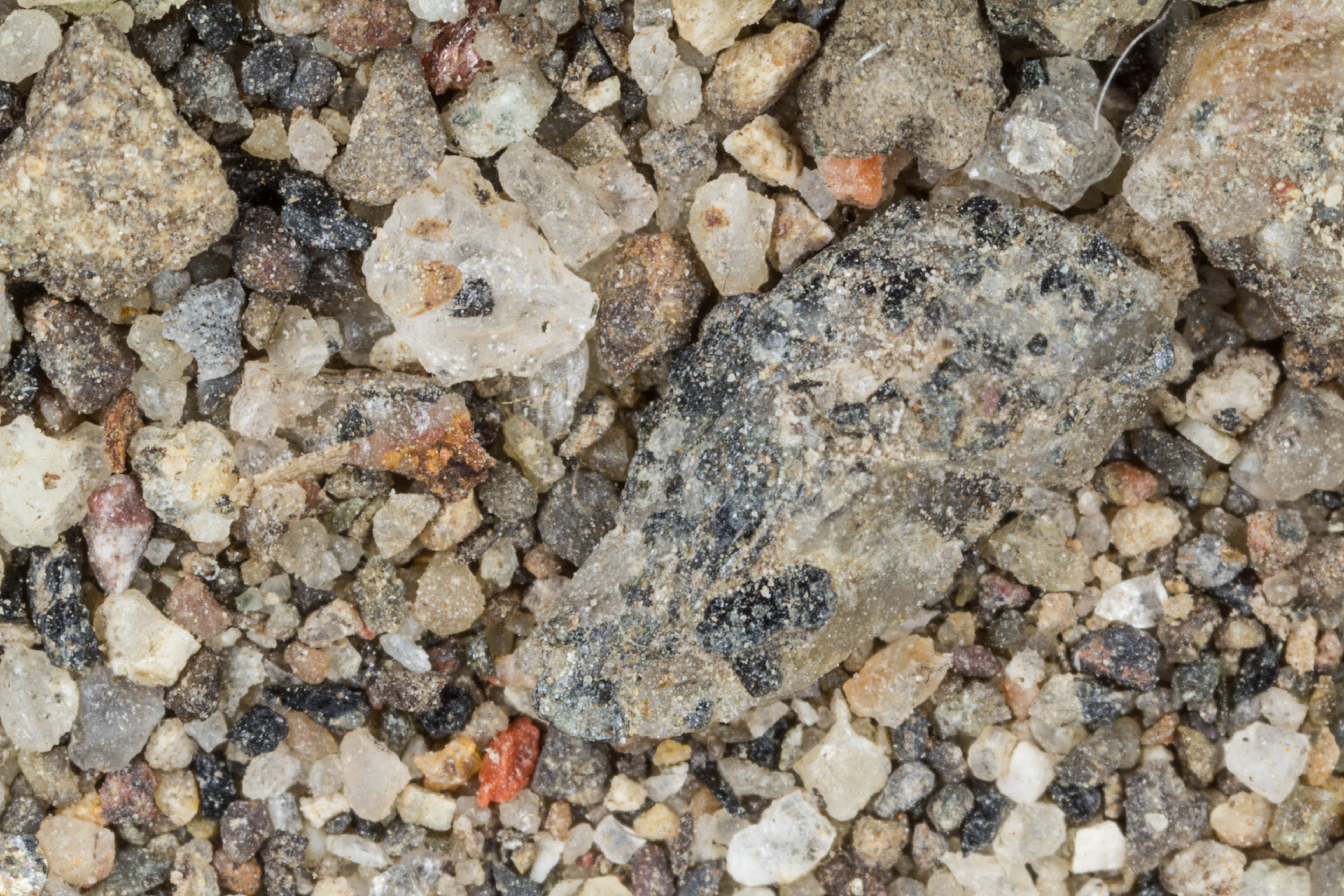
The sample was very complicated. There were sections of fine grained sand, and sections with very coarse pebbles. For that reason I included some extra images.


International Space Station 180mm Photograph

Image credit:  Image Science and Analysis Laboratory, NASA Johnson Space Center (http://eol.jsc.nasa.gov)


GALLATIN RIVER 45.46N, 111.25W

The link is to the Wikipedia Page on the Gallatin River.


ZERO MAGNIFICATION IMAGE

REFLECTANCE SPECTRUM

ZERO MAGNIFICATION IMAGE

ZERO MAGNIFICATION IMAGE

ZERO MAGNIFICATION IMAGE

1X MAGNIFICATION (RED LINE   = 1MM)

1X MAGNIFICATION (RED LINE   = 1MM)

3X MAGNIFICATION (RED LINE   = 1MM)


Return to Montana  Sand to view high resolution versions of all Montana sand samples. Click the thumbnails above to view high resolution versions of these images.

Return to USA Map

Return to Home