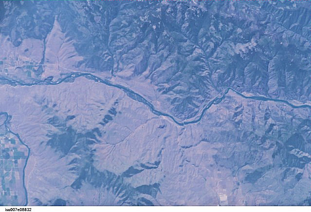
WIKIPEDIA COMMONS IMAGE
International Space Station 400mm Photograph
Image credit: Image Science and Analysis Laboratory, NASA Johnson Space Center (http://eol.jsc.nasa.gov)
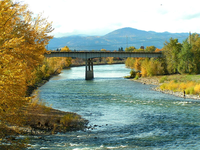
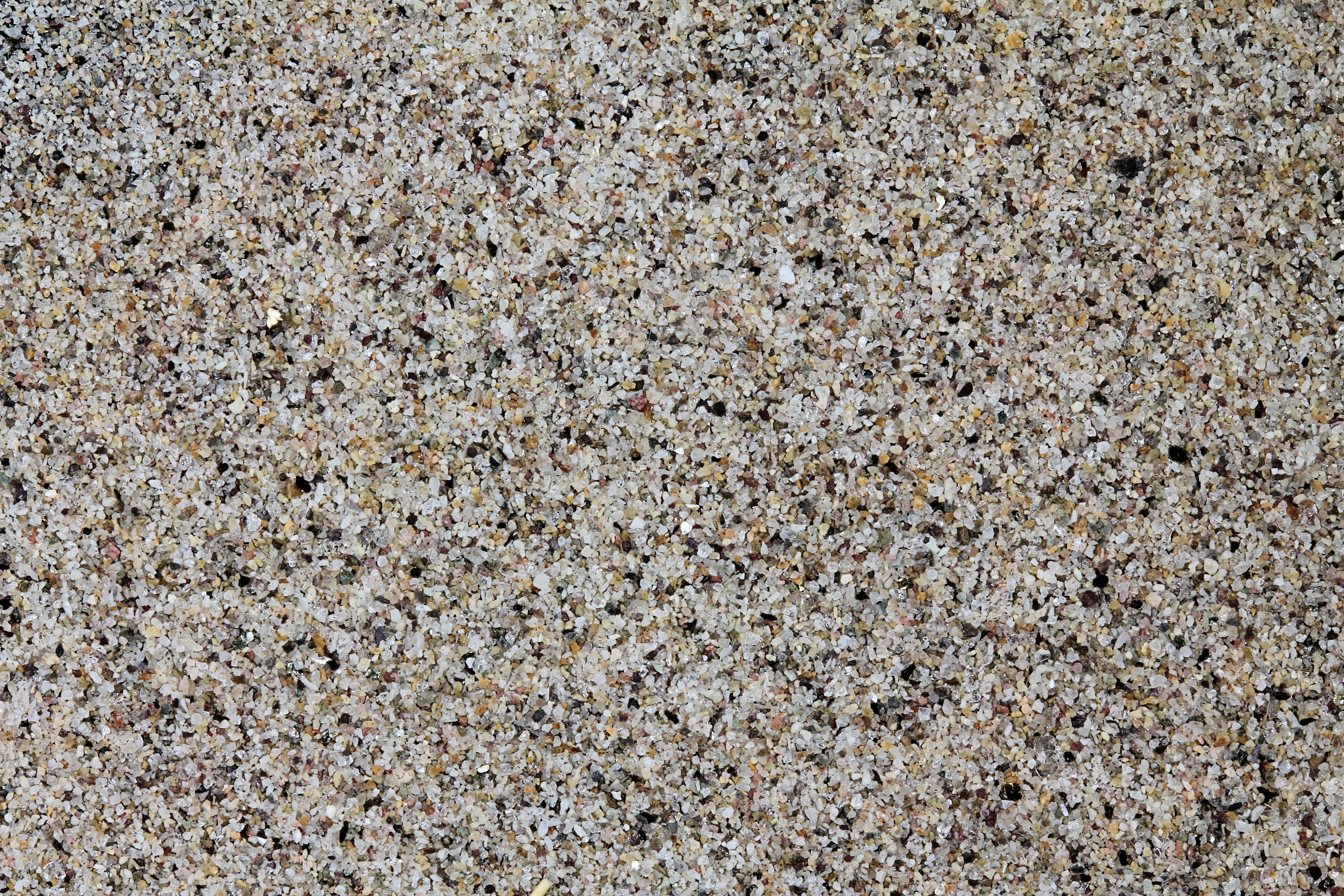
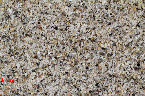
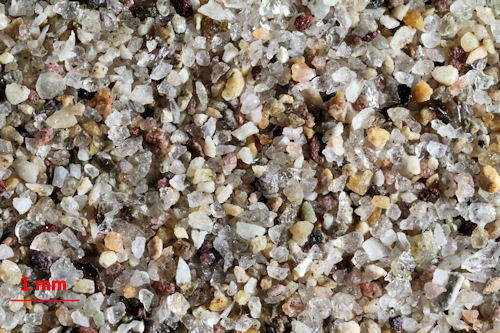
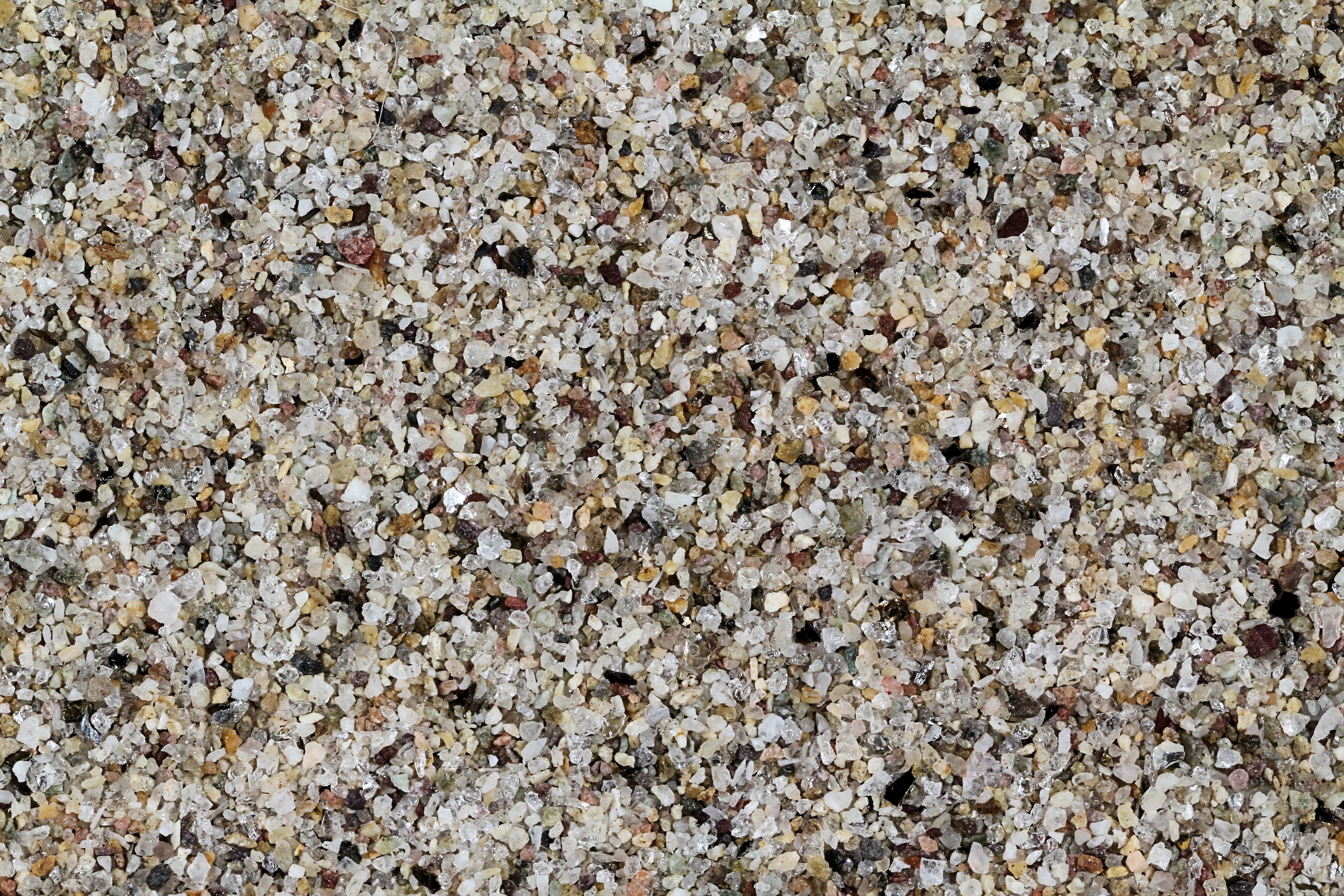
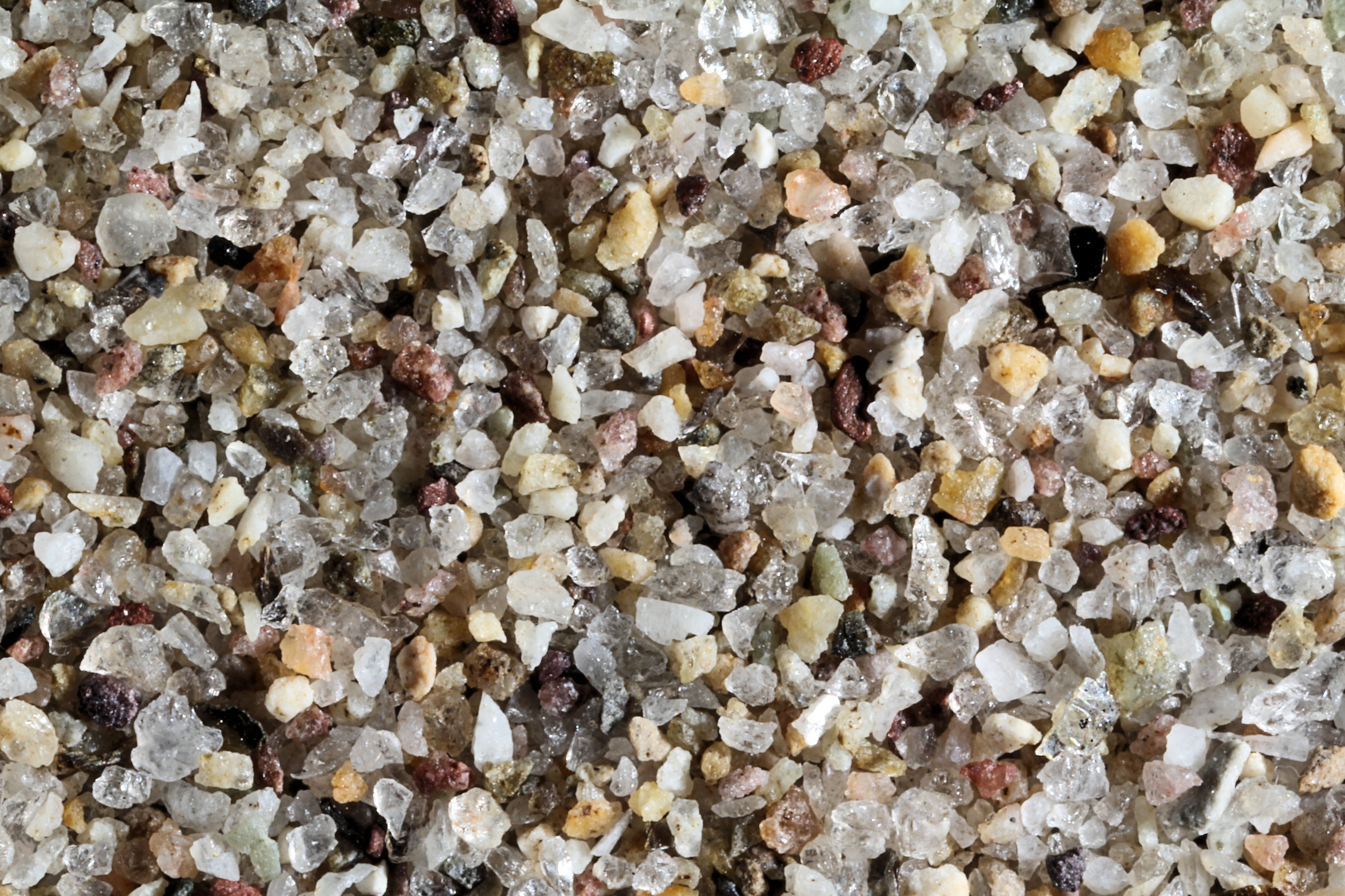
CLARK FORK RIVER 48.18N, 116.27W
The link is to the Wikipedia page for the Clark Fork River.
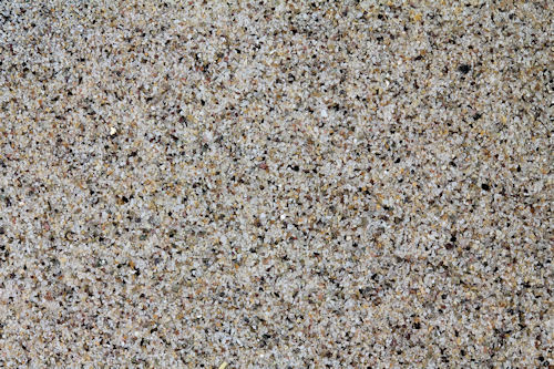
ZERO MAGNIFICATION IMAGE
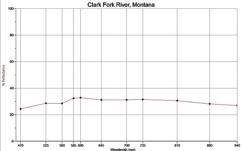
REFLECTANCE SPECTRUM
1X MAGNIFICATION (RED LINE = 1MM)
3X MAGNIFICATION (RED LINE = 1MM)
Return to Montana Sand to view high resolution versions of all Montana sand samples. Click the thumbnails above to view high resolution versions of these images.
Return to USA Map
Return to Home