|
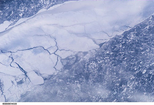
International Space Station
200mm Photograph
Image credit:
Image Science and Analysis
Laboratory, NASA Johnson Space Center (http://eol.jsc.nasa.gov)
|
TWO HARBORS, LAKE SUPERIOR 47.03N,
91.66W
The link is to a pdf showing the
surface geology of the Two Harbors area. That's a first!
|