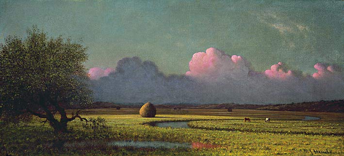
Sunlight and Shadow: The Newbury Marshes (c. 1871-1875)
Wikipedia Commons Image
International Space Station 400mm Photograph
Image credit: Image Science and Analysis Laboratory, NASA Johnson Space Center (http://eol.jsc.nasa.gov)
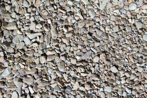
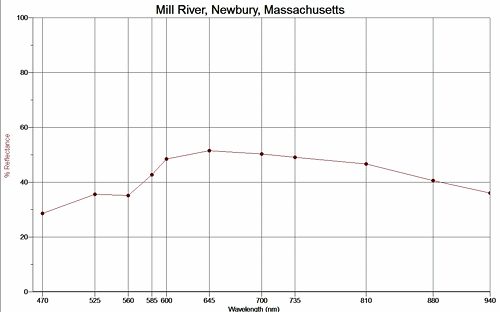
MILL RIVER, NEWBURY 42.77N, 70.84W
The link is to the Wikipedia page on Newbury.
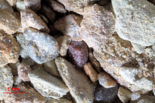
SAMPLE 1
ZERO MAGNIFICATION IMAGE
REFLECTANCE SPECTRUM
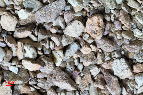
1X MAGNIFICATION (RED LINE = 1MM)
3X MAGNIFICATION (RED LINE = 1MM)
Return to Massachusetts Sand
Return to USA Map
Return to Home
