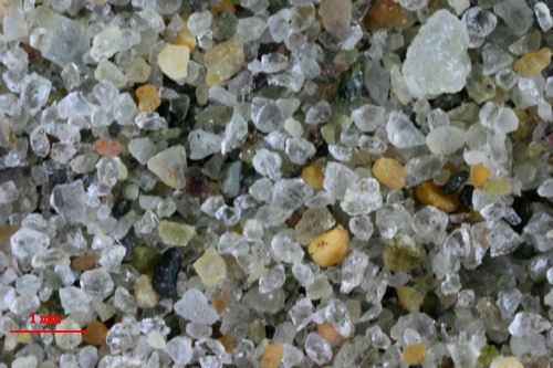
|
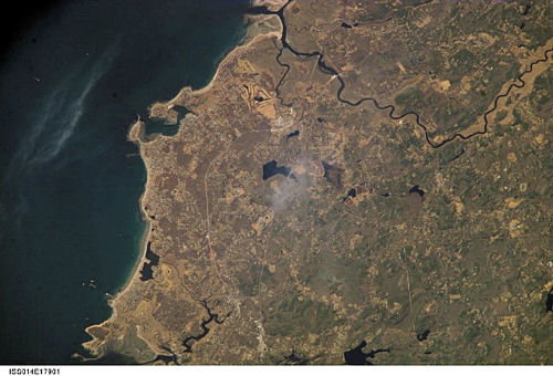
International Space Station
800mm Photograph
Image credit:
Image Science and Analysis
Laboratory, NASA Johnson Space Center (http://eol.jsc.nasa.gov)
|
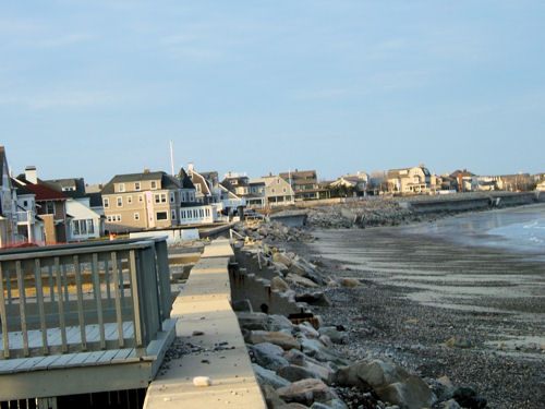
MINOT BEACH , SCITUATE 42.13N,
70.44W
"The name of my beach is Minot Beach, in Scituate,
MA. My feature is found in between the swash zone and the surf
zone. My feature is a giant piece of bedrock, Well Rock, with two
smaller rocks on either side. There are rough edges and points between
Well Rock and the ones on either side of it. You can see that some of
the areas are different types of rock. And you can see where the water
has broken down some of the rock. On the rock that is to the right of
Well Rock, the waves have drastically smoothed out the base and front of
it. Which explains why people nicknamed it "Slide Rock." My pictures
were taken at low tide, but the water comes around the whole base of
Well Rock, and covers half of Slide Rock. There is no name for the rock
to the left, the water has also smoothed over some of the rough edges.
My feature was formed by years of water coming up and down the beach
changed with the tide. Also, there have been many major storms on Minot
Beach, such as the No Name storm of '91. All these events have helped to
shape this feature." - Allison. A
Unlike most of the rocks in this area
Well Rock is bedrock, meaning that it is attached to the
crust. The glacier did not bring it here! I think it
technically is a granodiorite with two basalt dikes. It is
easy to see that the basalt is weaker than the granodiorite.
Soon, geologically speaking, the wave action will destroy
the basalt and leave only the stronger granodiorite. - CFL
|