C. Ansbergs Photographs


BLACK HILL REGIONAL PARK - RIVER INLET

BLACK HILL REGIONAL PARK - LITTLE LAKE SENECA

International Space Station 800mm Photograph

Image credit:  Image Science and Analysis Laboratory, NASA Johnson Space Center (http://eol.jsc.nasa.gov)


BLACK HILL REGIONAL PARK - RIVER INLET 39.18N, 77.27W

The link is to the Wikipedia page on Germantown.

ZERO MAGNIFICATION IMAGE

REFLECTANCE SPECTRUM


1X MAGNIFICATION (BLACK LINE  = 1MM)

3X MAGNIFICATION (BLACK LINE  = 1MM)


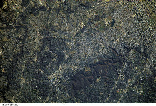
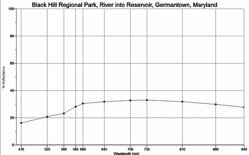
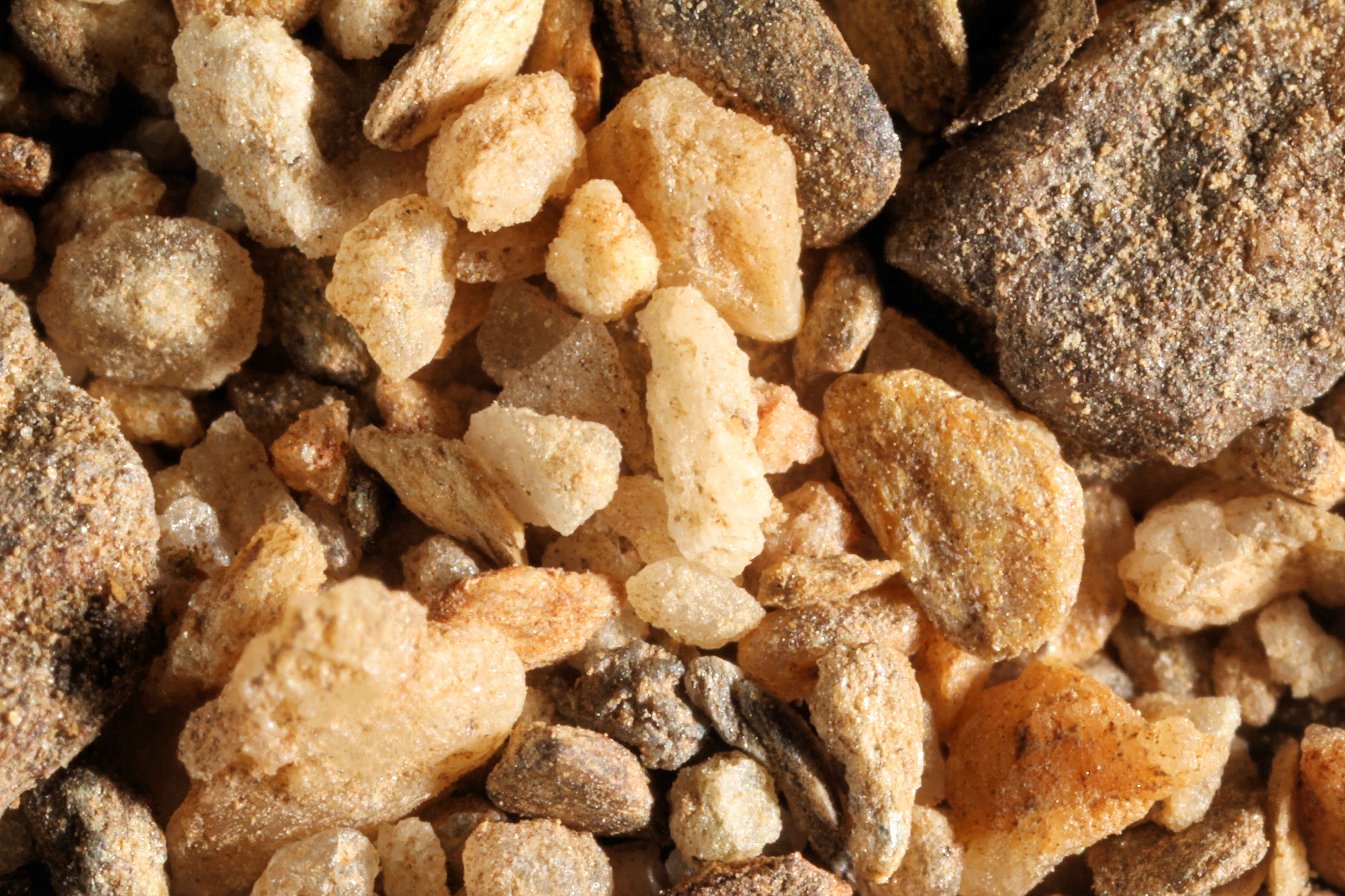
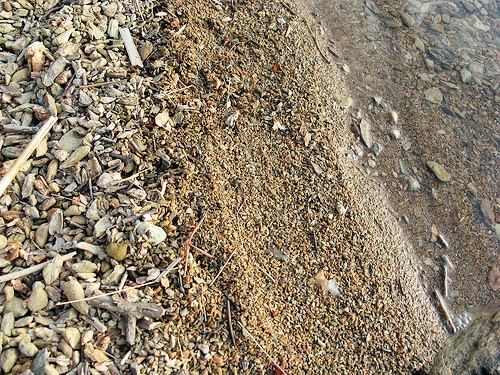
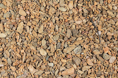
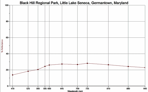
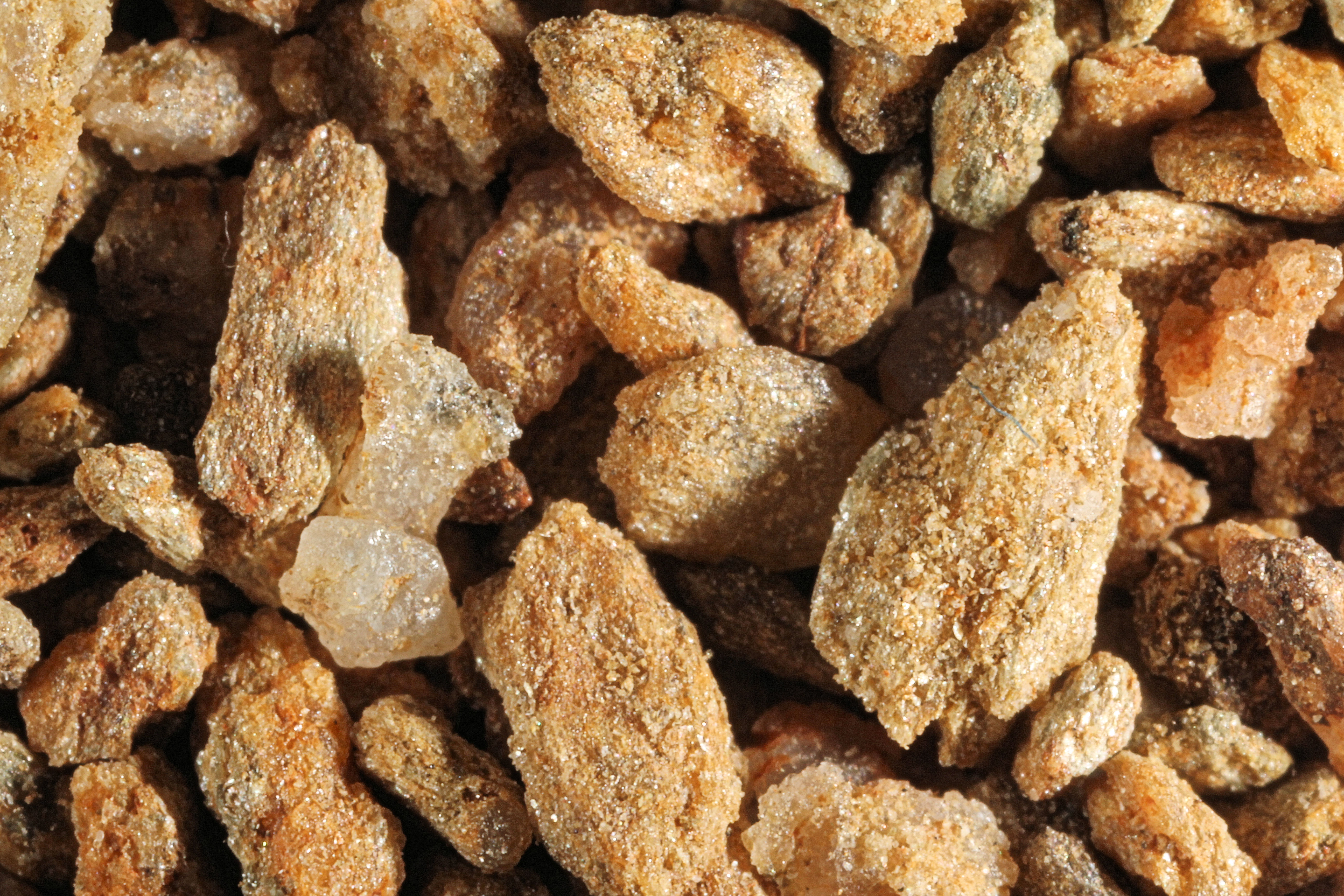
BLACK HILL REGIONAL PARK - LITTLE LAKE SENECA 39.18N, 77.27W

The link is to the Wikipedia page on Germantown.


International Space Station 800mm Photograph

Image credit:  Image Science and Analysis Laboratory, NASA Johnson Space Center (http://eol.jsc.nasa.gov)


ZERO MAGNIFICATION IMAGE

REFLECTANCE SPECTRUM


1X MAGNIFICATION (WHITE LINE  = 1MM)

3X MAGNIFICATION (WHITE LINE  = 1MM)


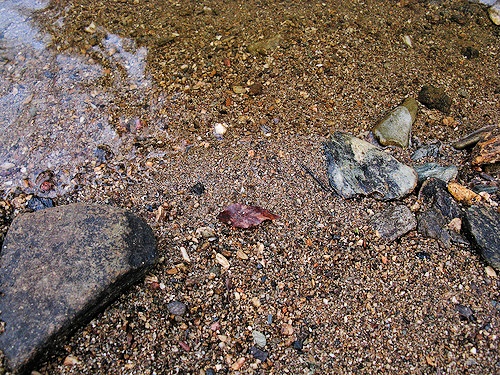
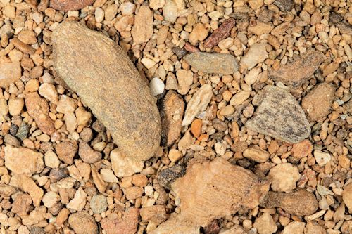
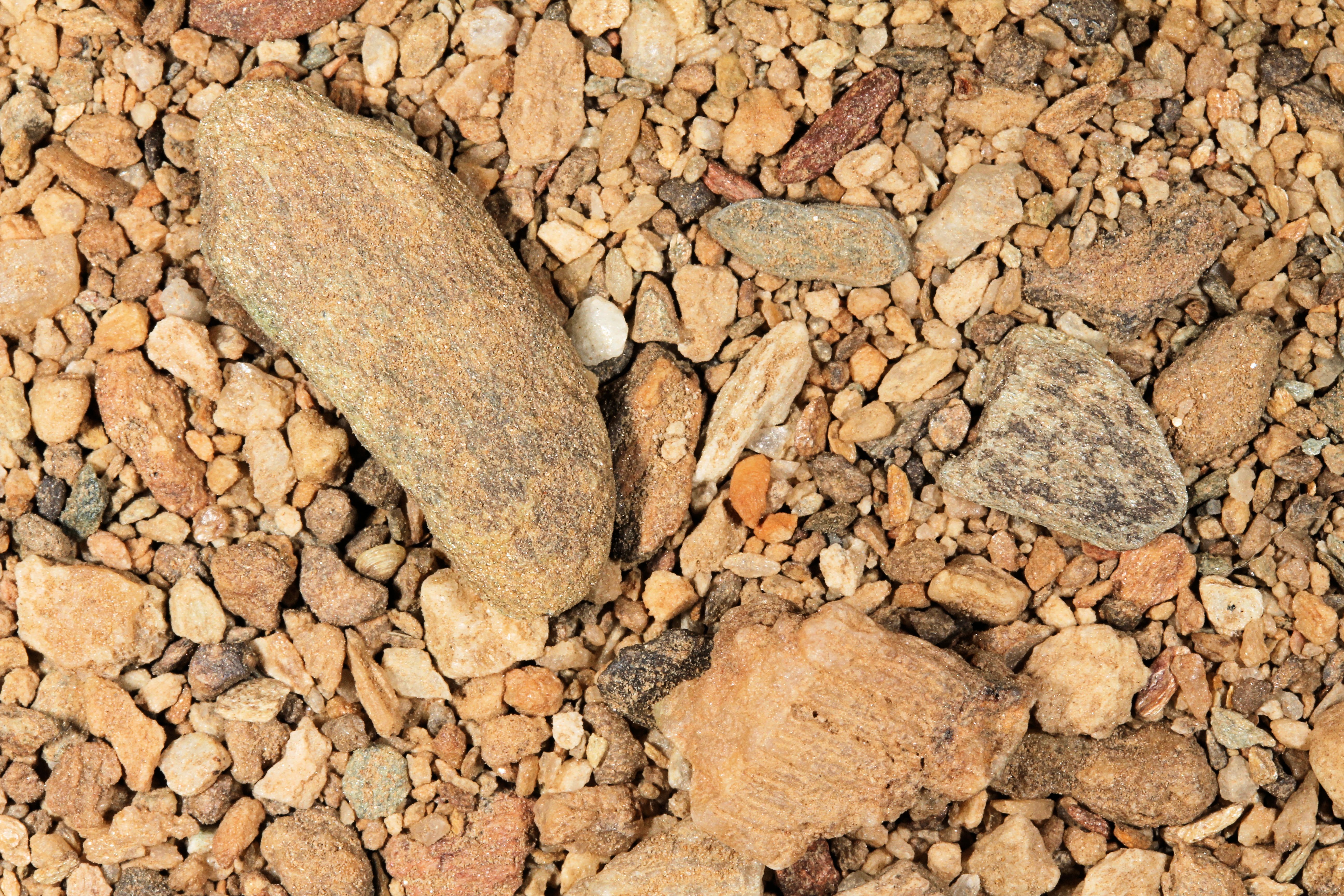
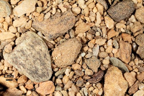
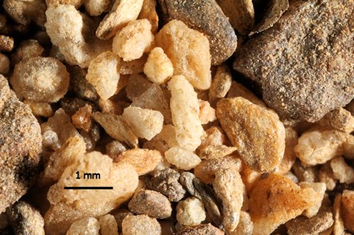
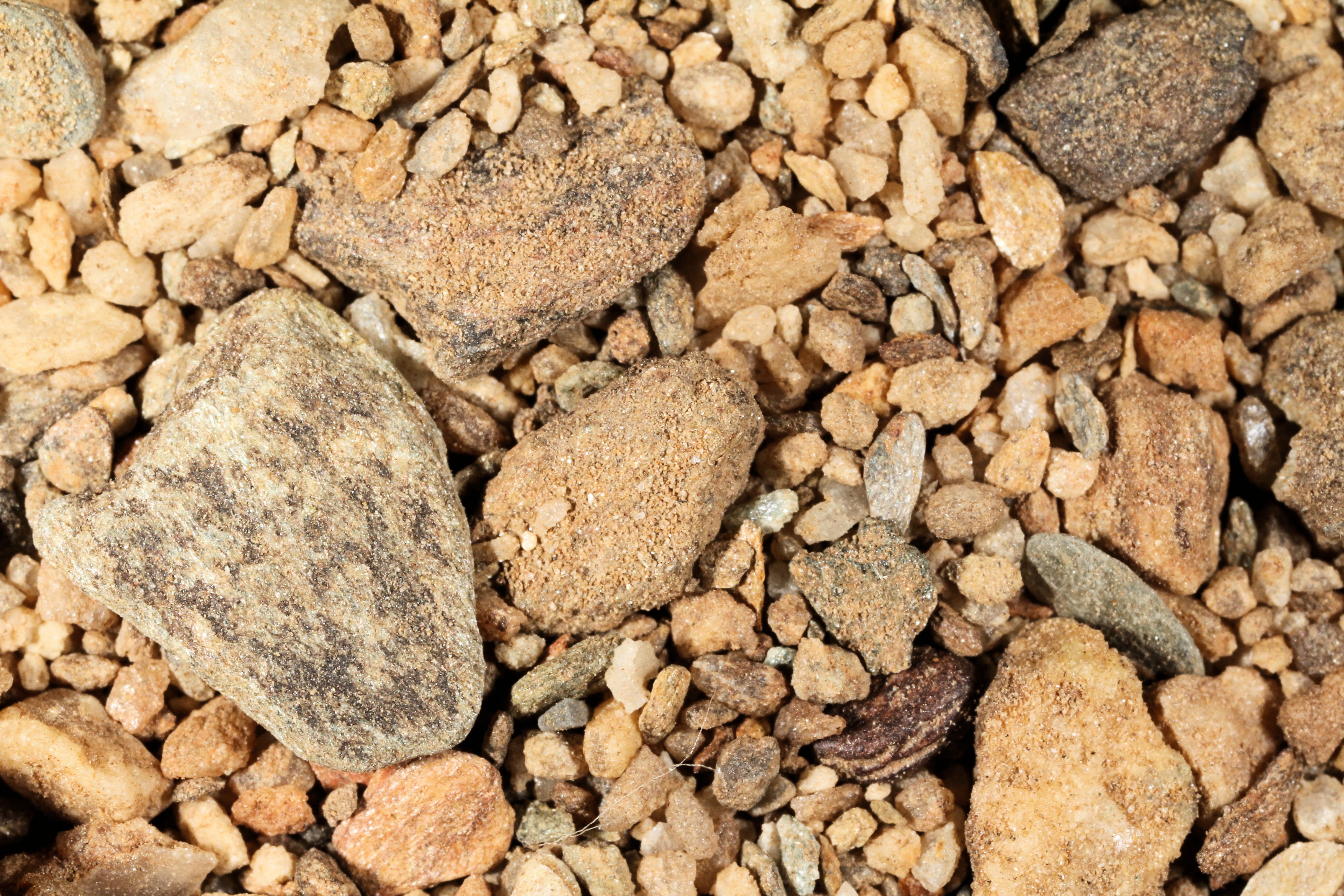
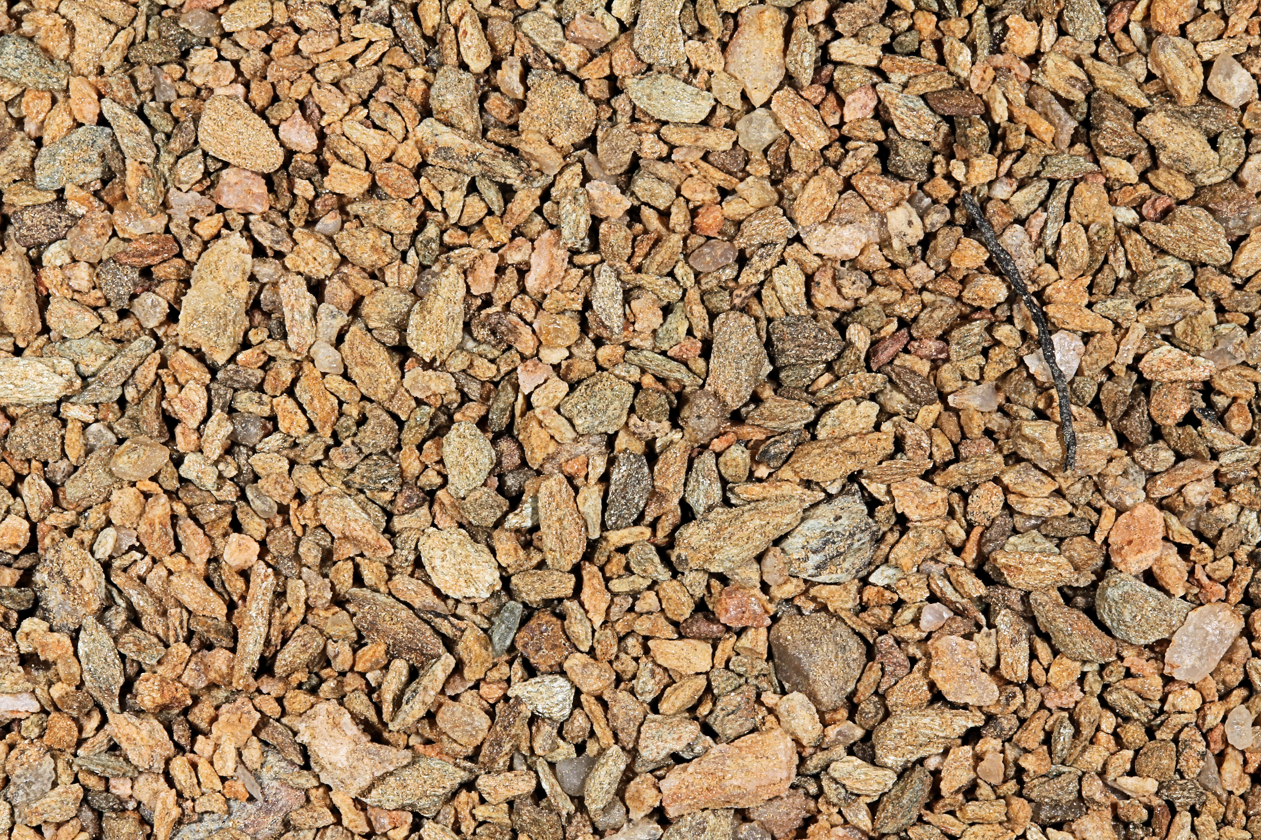
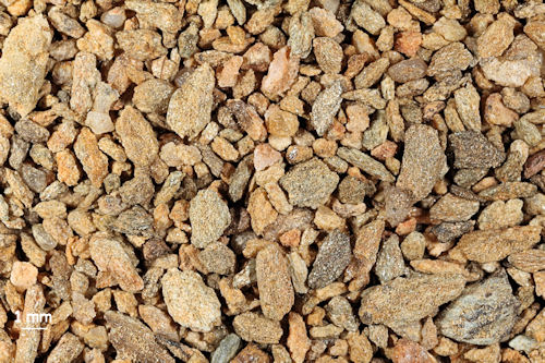
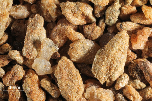
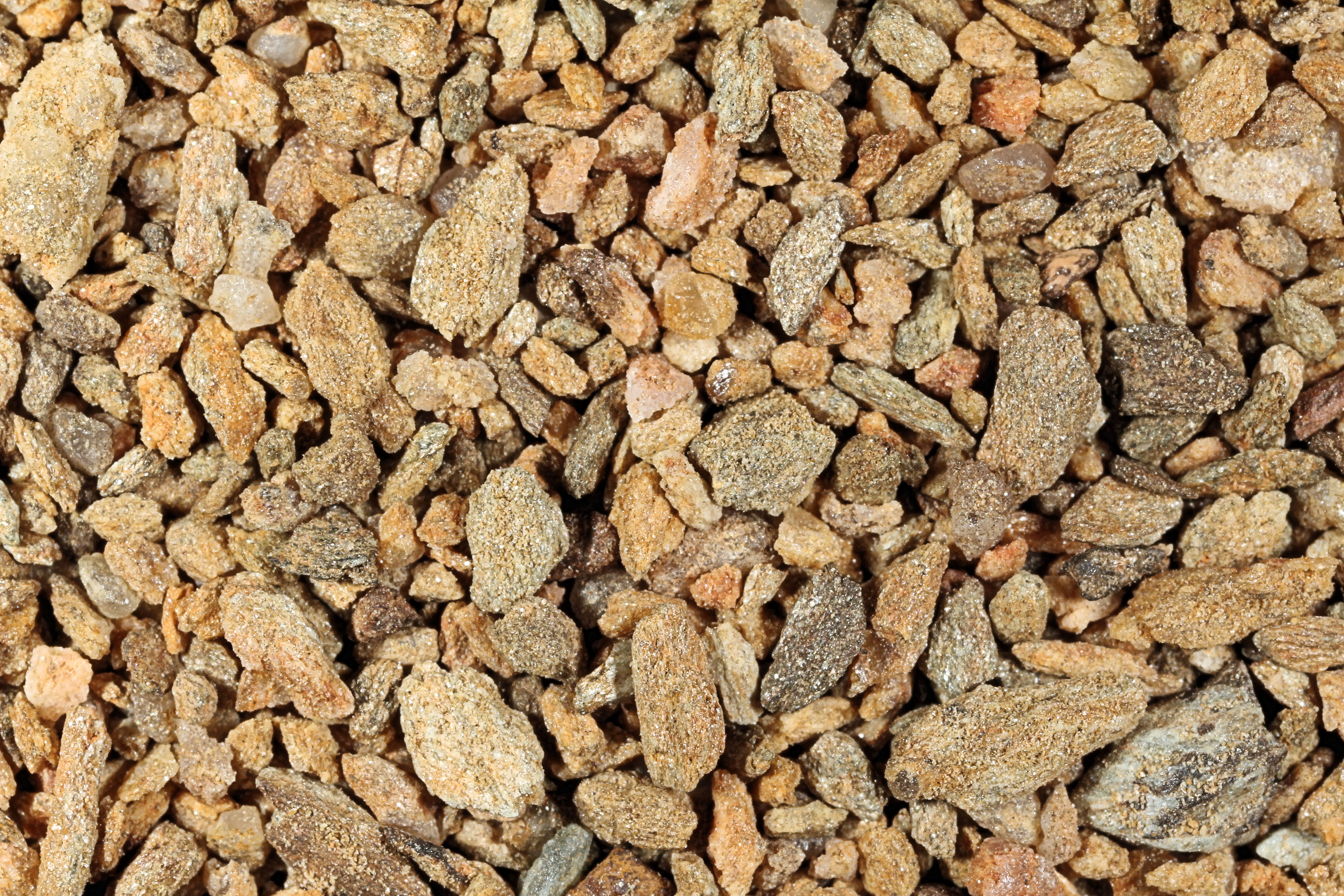
Return to Maryland Sand to view high resolution versions of all Maryland sand samples. Click on the thumbnails above to view high resolution versions of these images.

Return to USA Map

Return to Home