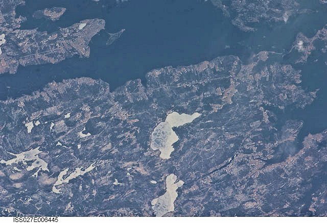
International Space Station 400mm Photograph
Image credit: Image Science and Analysis Laboratory, NASA Johnson Space Center (http://eol.jsc.nasa.gov)
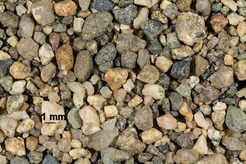
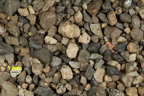
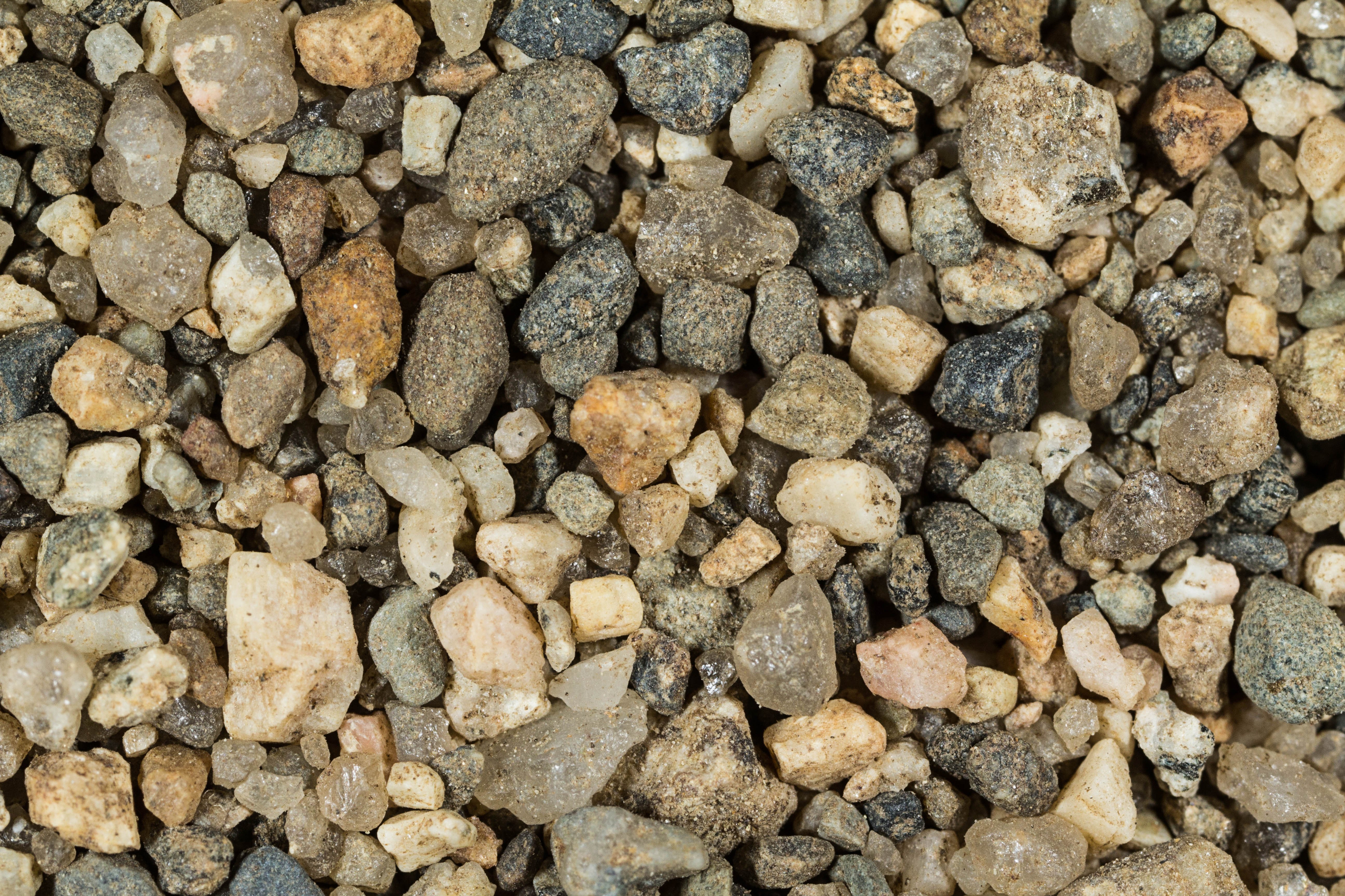
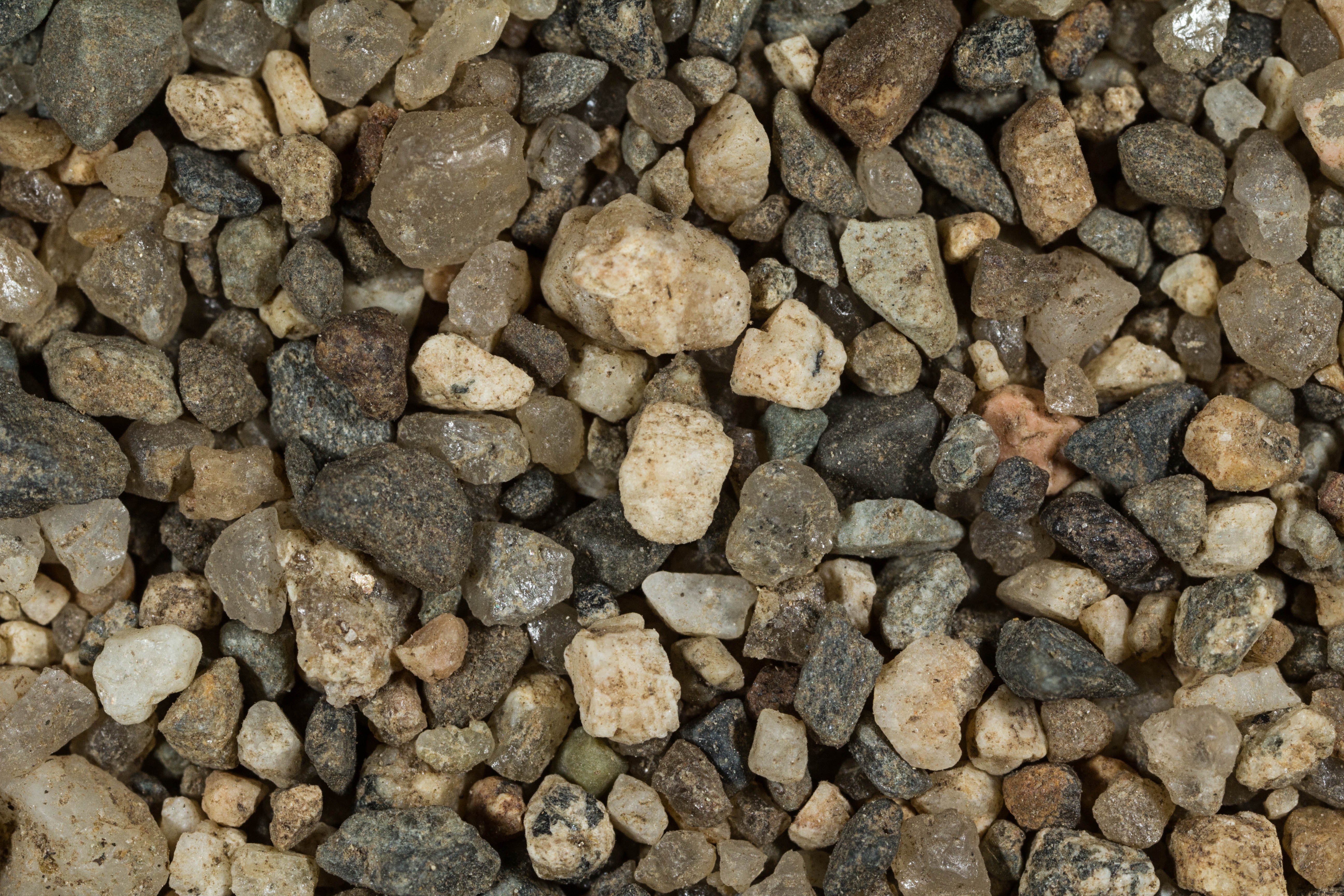
EAST MACHIAS RIVER, CRAWFORD 45.00N, 67.59W
The link is to the Wikipedia page on the river.
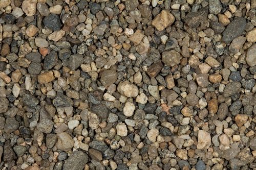
ZERO MAGNIFICATION IMAGE
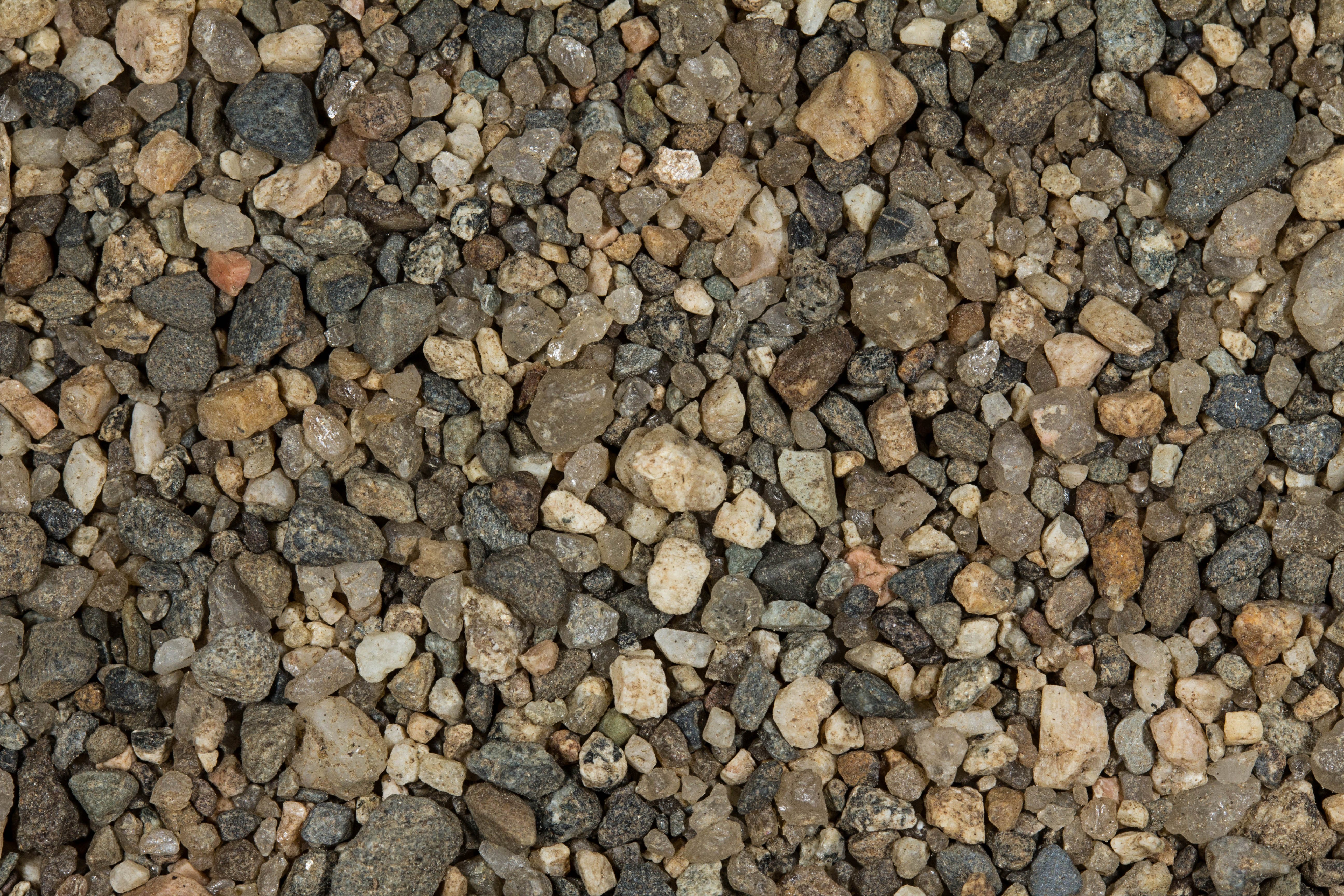
REFLECTANCE SPECTRUM NOT POSSIBLE BECAUSE OF PARTICLE SIZE
1X MAGNIFICATION (BLACK LINE = 1MM)
Return to Maine Locations to view high resolution versions of all samples from Maine. Click on the thumbnails above to view high resolution versions of this sample.
Return to USA Map