|
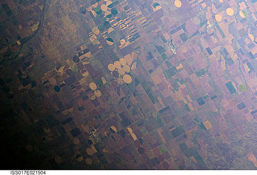
International Space Station
400mm Photograph
Image credit:
Image Science and Analysis
Laboratory, NASA Johnson Space Center (http://eol.jsc.nasa.gov)
|
GREENSBURG 37.60N, 99.29W
The link is to a series of images showing the results of
a tornado that passed through the city.
|