Mississippi River, Le Claire


International Space Station 400mm Photograph

Image credit:  Image Science and Analysis Laboratory, NASA Johnson Space Center (http://eol.jsc.nasa.gov)


MISSISSIPPI RIVER, LE CLAIRE 41.60N, 90.36W

The link is to the Wikipedia page on Le Claire.


ZERO MAGNIFICATION IMAGE

REFLECTANCE SPECTRUM


1X MAGNIFICATION (BLACK LINE  = 1MM)

1X MAGNIFICATION (BLACK LINE  = 1MM)

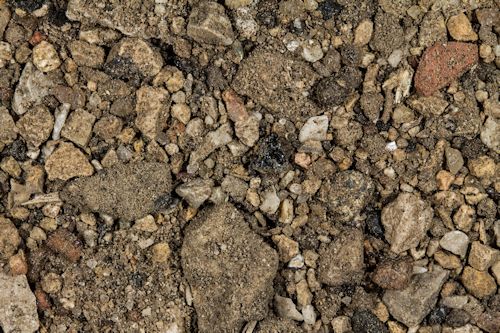
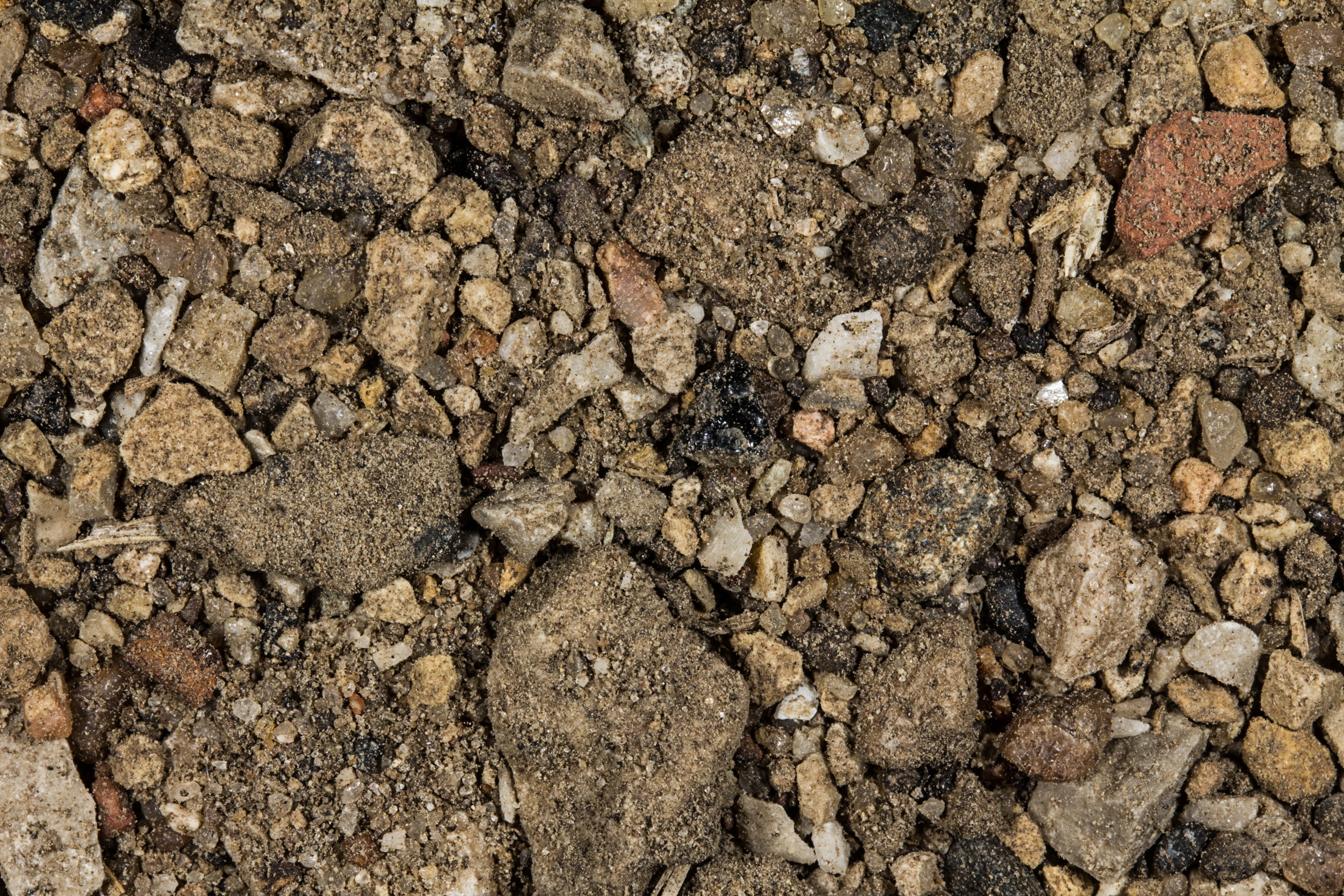
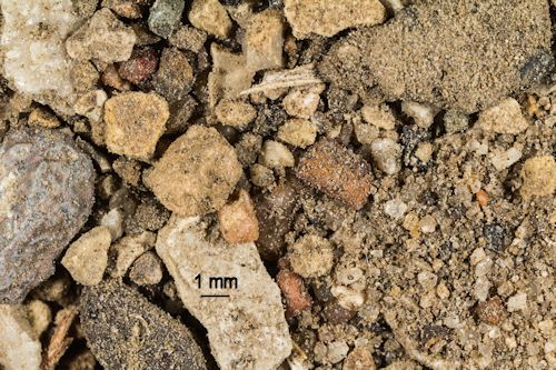
The sample was collected by  a former teacher at the  Gates Intermediate School, Scituate, Massachusetts

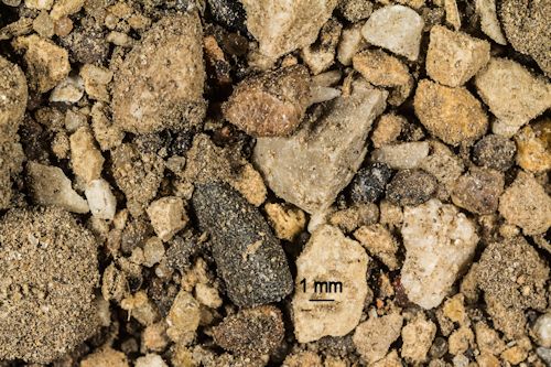
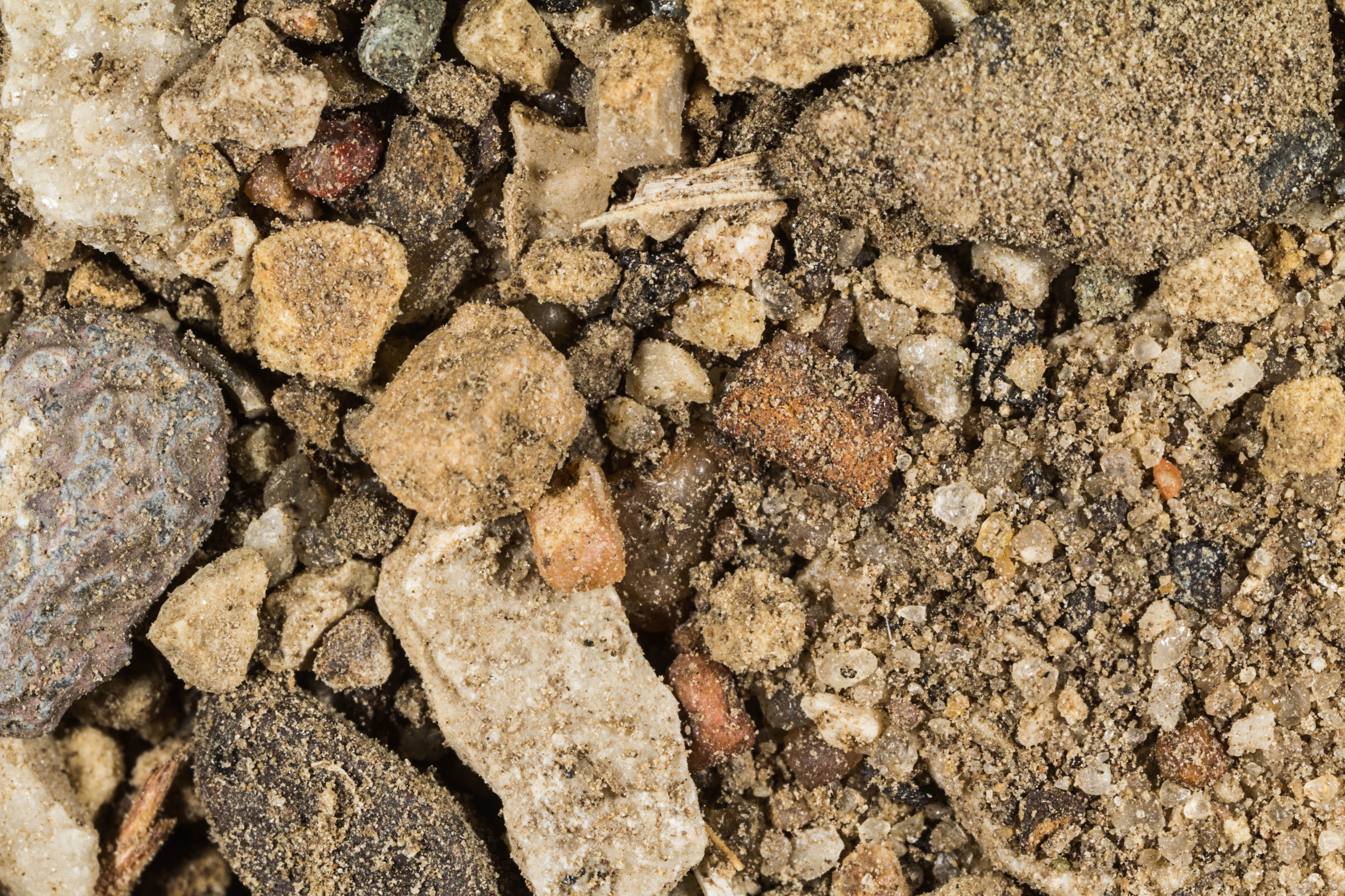
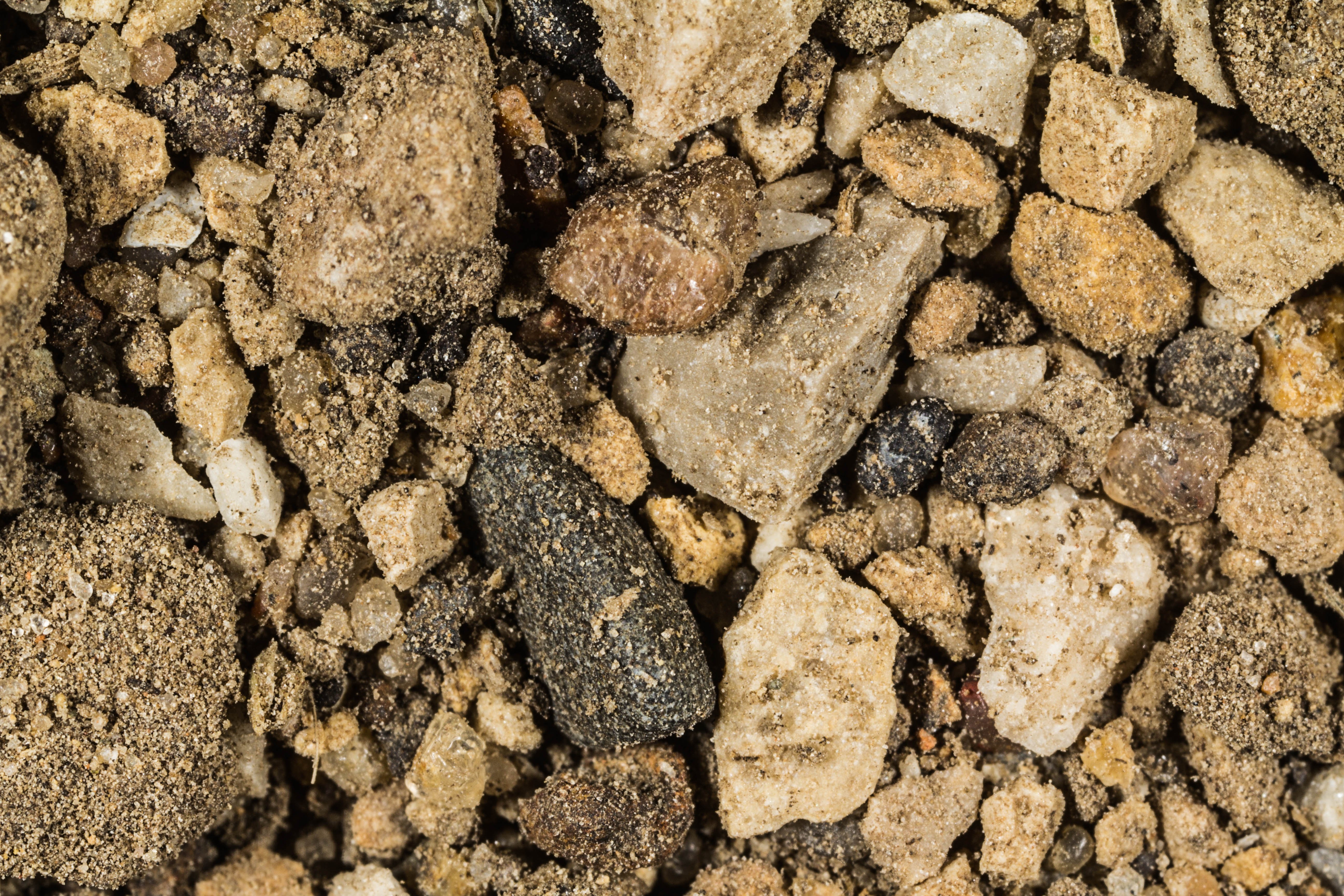
Return to Iowa Sand to view high resolution images of all sand from Iowa. Click the thumbnails above to view high resolution versions of these samples.

Return to USA Map

Return to Home