|
International Space Station
800mm Photograph
Image credit:
Image Science and Analysis
Laboratory, NASA Johnson Space Center (http://eol.jsc.nasa.gov
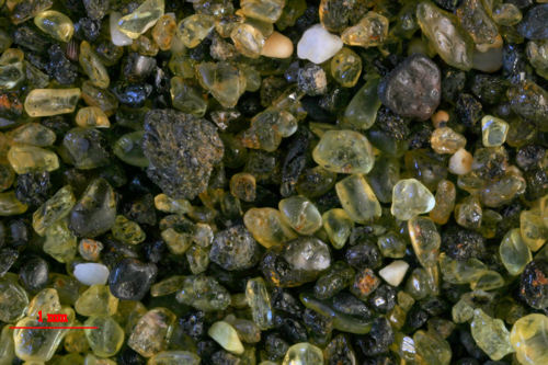
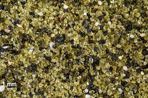
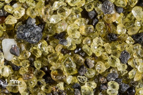
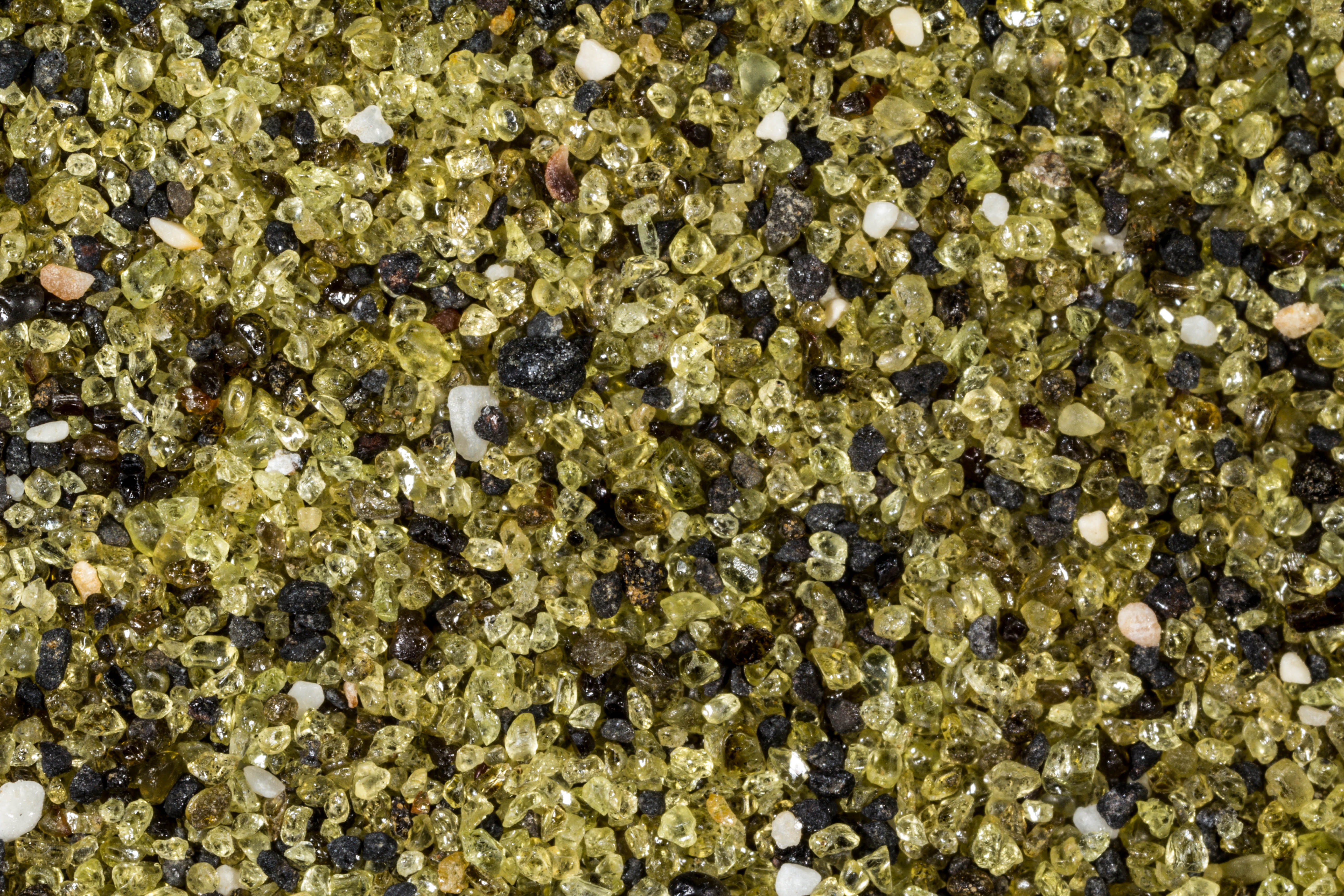
SAMPLE #1 |
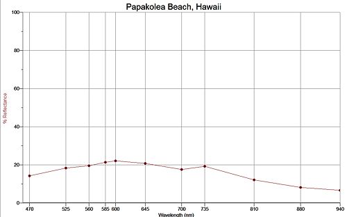
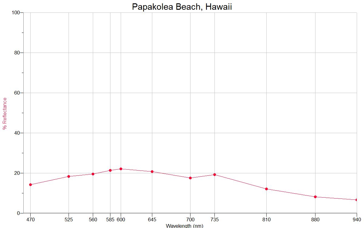
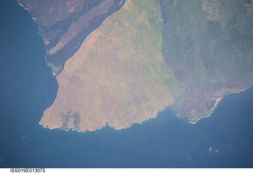
PAPAKOLEA BEACH, PUU MAHANA BEACH , HAWAII 18.54N, 155.40W
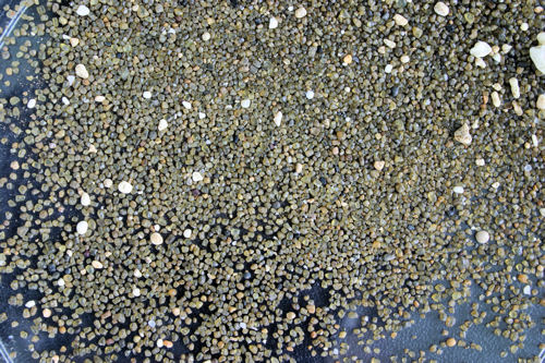
Sorry about the quality of the Zero
Magnification
image, but the amount of sand sent to me was very small.
This is the most southern point in the United States.
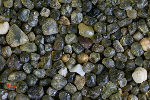
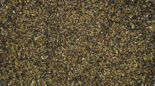
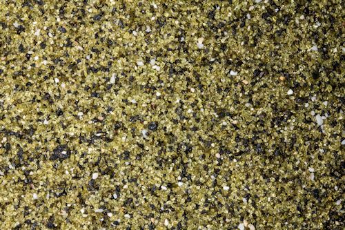
FLASH!! I just received a second sample! Sample #2 had
enough to cover the bottom of the Petri Dish!
The link is to a blog from Northern
Virginia Community College that shows great images of the
area, as well as explaining a little about the geology from
the location. The images are incredible! There is also a
spectacular avalanche video of green sand from the beach.
|