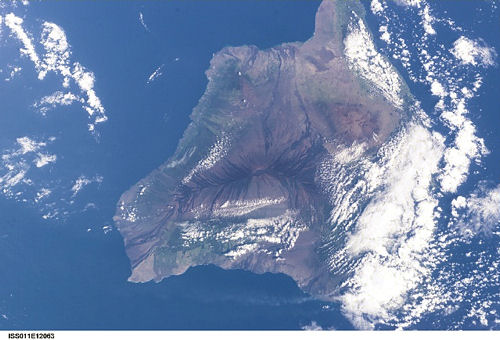
International Space Station 56mm Photograph

Image credit:  Image Science and Analysis Laboratory, NASA Johnson Space Center (http://eol.jsc.nasa.gov

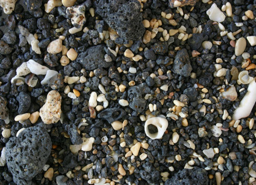
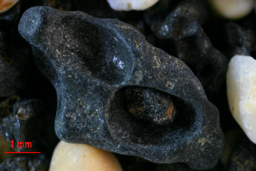
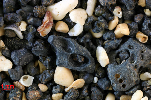
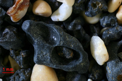
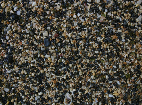
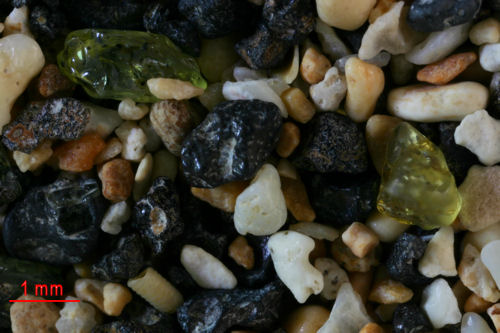
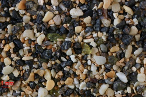
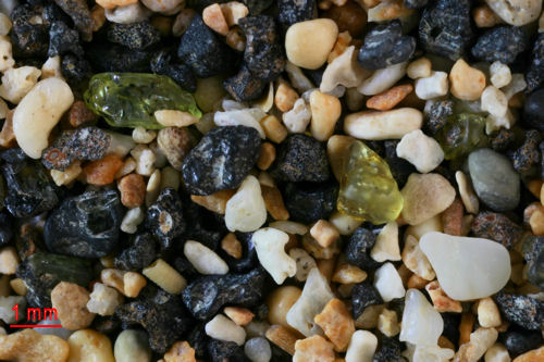
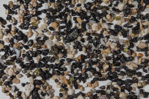
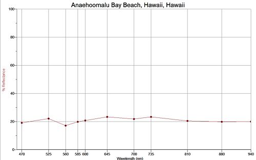
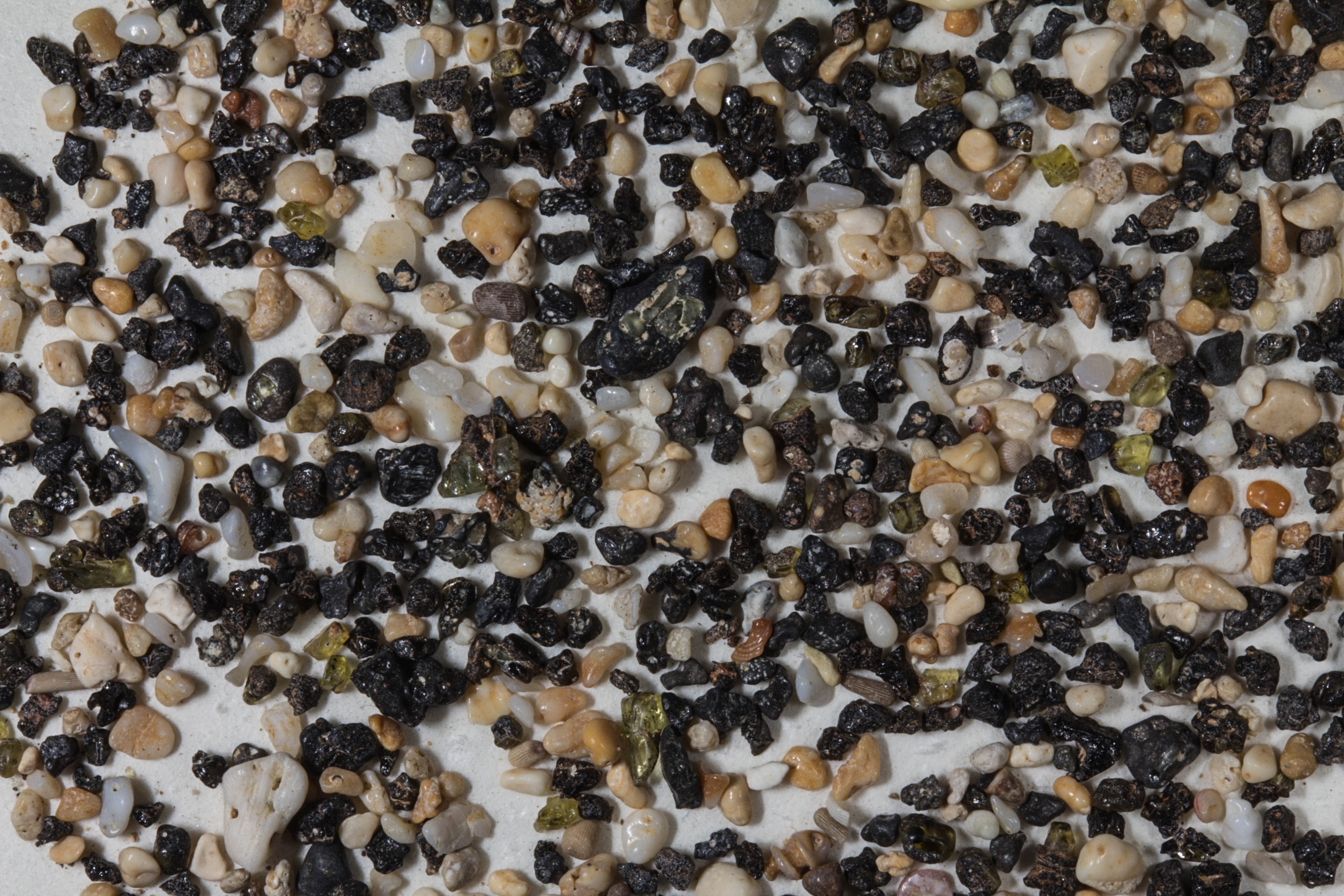
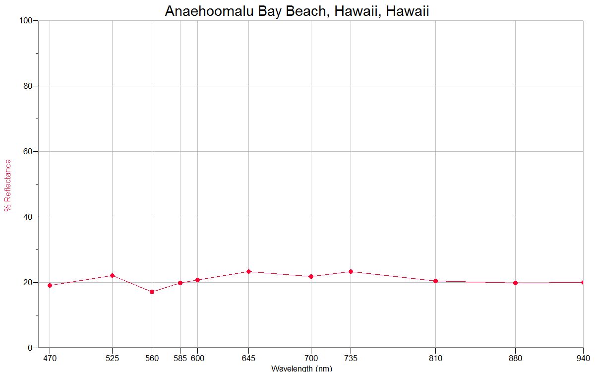
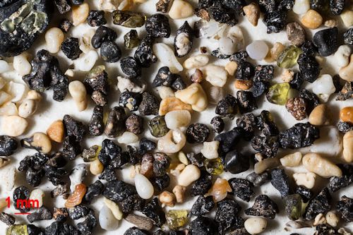
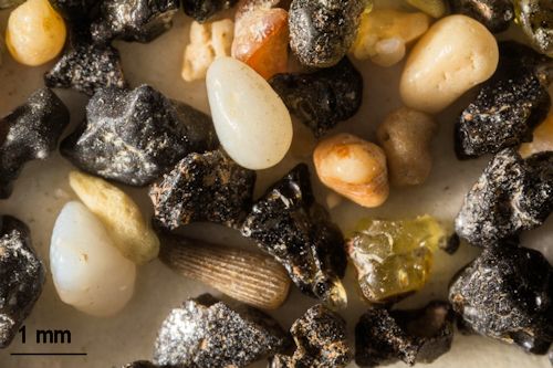
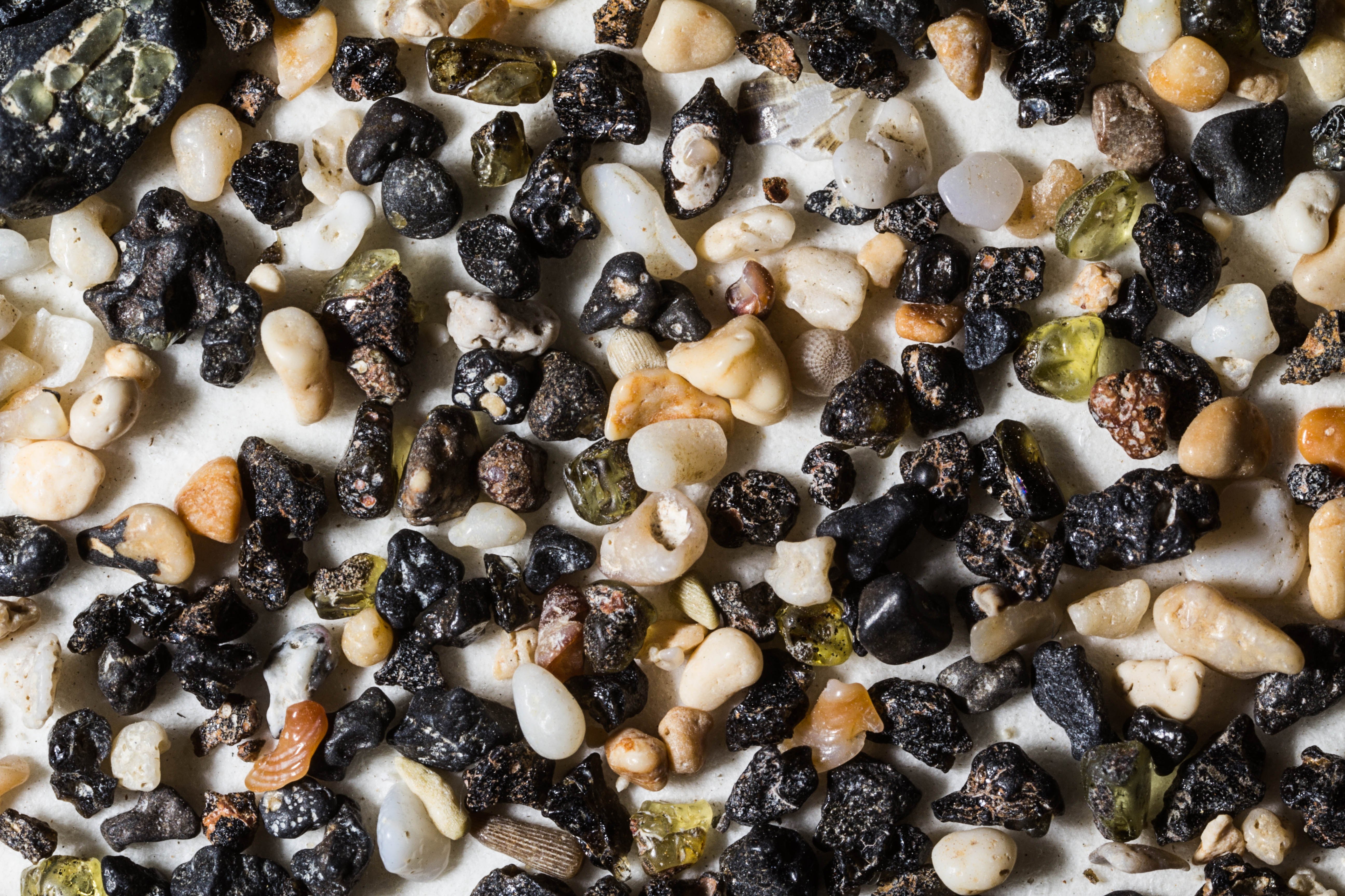
ANAEHO'OMALU BAY, WAIKOLOA, HAWAII 19.55N, 155.53W

The link is to the images from Waikoloa.


"This sand is a blend of many sands. You will find some of the green sand, black sand, and white sand blended in this. I was able to collect some from the tide area as well as a few feet away." L.  Froschauer


ABOVE TIDE LINE

AT TIDE LINE

WARDS SCIENTIFIC SAMPLE


ABOVE TIDE AREA


ZERO MAGNIFICATION IMAGE

3X MAGNIFICATION (RED  LINE  = 1MM)


1X MAGNIFICATION (RED LINE  = 1MM)

2X MAGNIFICATION (RED LINE  = 1MM)


AT TIDE LINE


ZERO MAGNIFICATION IMAGE

3X MAGNIFICATION (RED  LINE  = 1MM)


1X MAGNIFICATION (RED  LINE  = 1MM)

2X MAGNIFICATION (RED  LINE  = 1MM)

WARDS SCIENTIFIC SAMPLE

ZERO MAGNIFICATION IMAGE

REFLECTANCE SPECTRUM

1X MAGNIFICATION (RED  LINE  = 1MM)

3X MAGNIFICATION (BLACK  LINE  = 1MM)

Note: The Wards sample is attached to a piece of white paper so that will affect the accuracy of the reflectance spectrum.

Return to Top

Return to Hawaii Sand

Return to USA Map

Return to Home