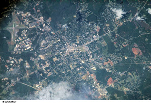
International Space Station 800mm Photograph
Image credit: Image Science and Analysis Laboratory, NASA Johnson Space Center (http://eol.jsc.nasa.gov)
LA GRANGE 33.04N, 84.99W
The link is to images from the La Grange area.
CREEK FED BY ARTESIAN WELL
WEST POINT LAKE
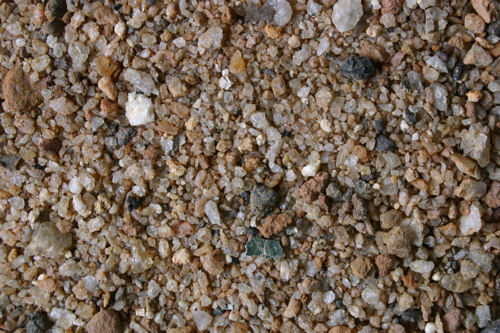
ZERO MAGNIFICATION IMAGE
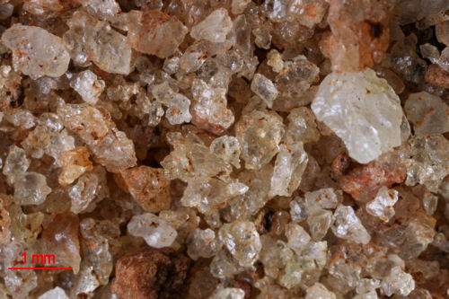
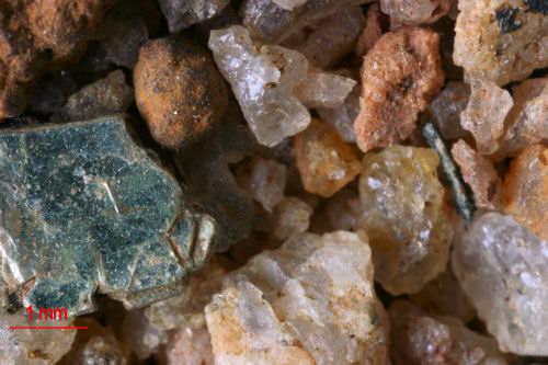
3X MAGNIFICATION (RED LINE = 1MM)
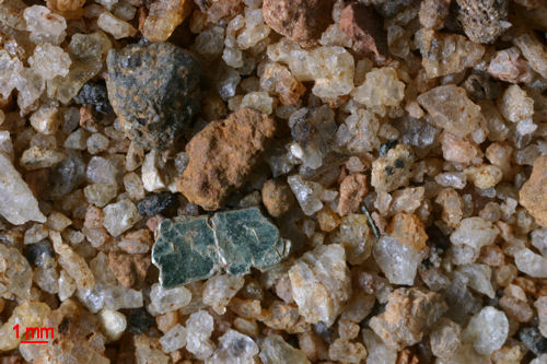
1X MAGNIFICATION (RED LINE = 1MM)
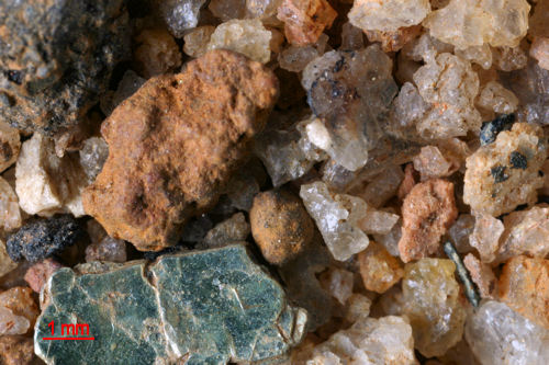
2X MAGNIFICATION (RED LINE = 1MM)
Due to technical difficulties, the Zero, 1x, and 2x, images are refusing to post properly. If I can fix it, they will be here!
Return to Georgia Sand
Return to USA Map
Return to Home