Route 178 Near Trona

                                                                                                                                                           C. F. Lindgren Photographs

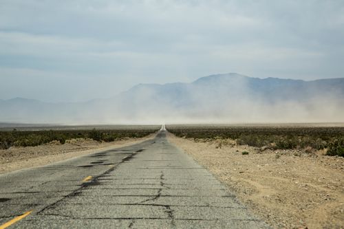
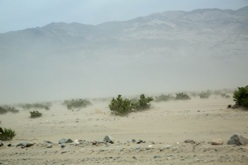
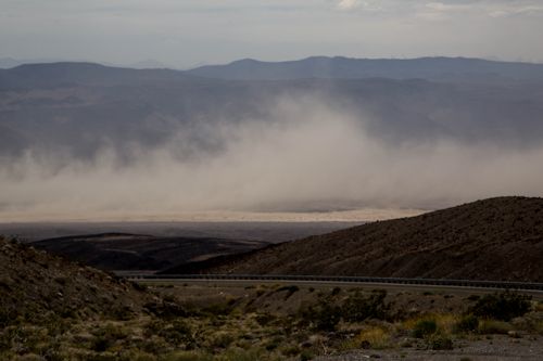
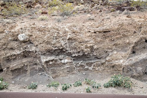
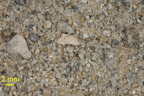
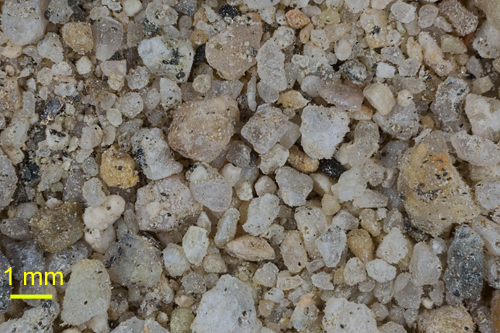
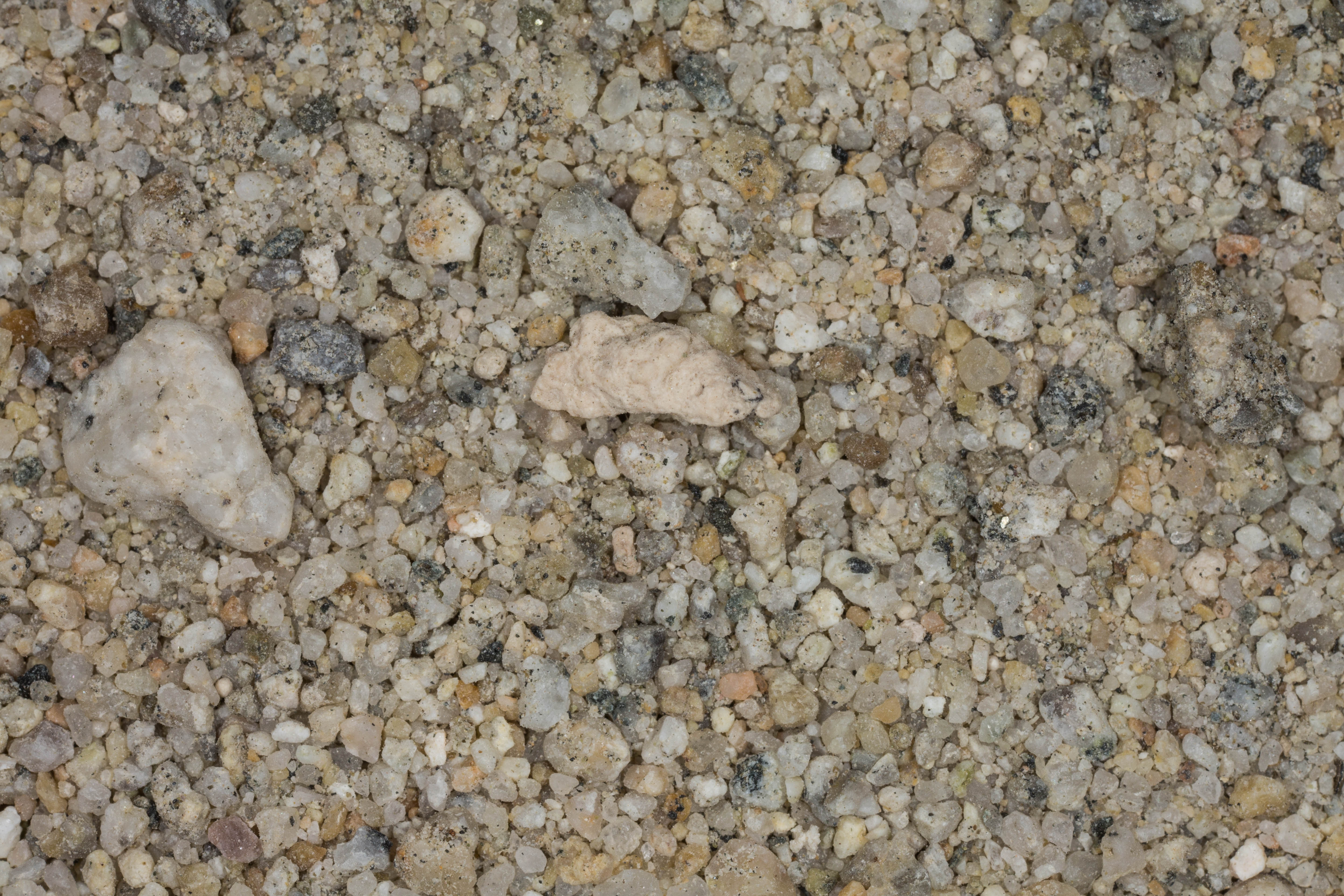
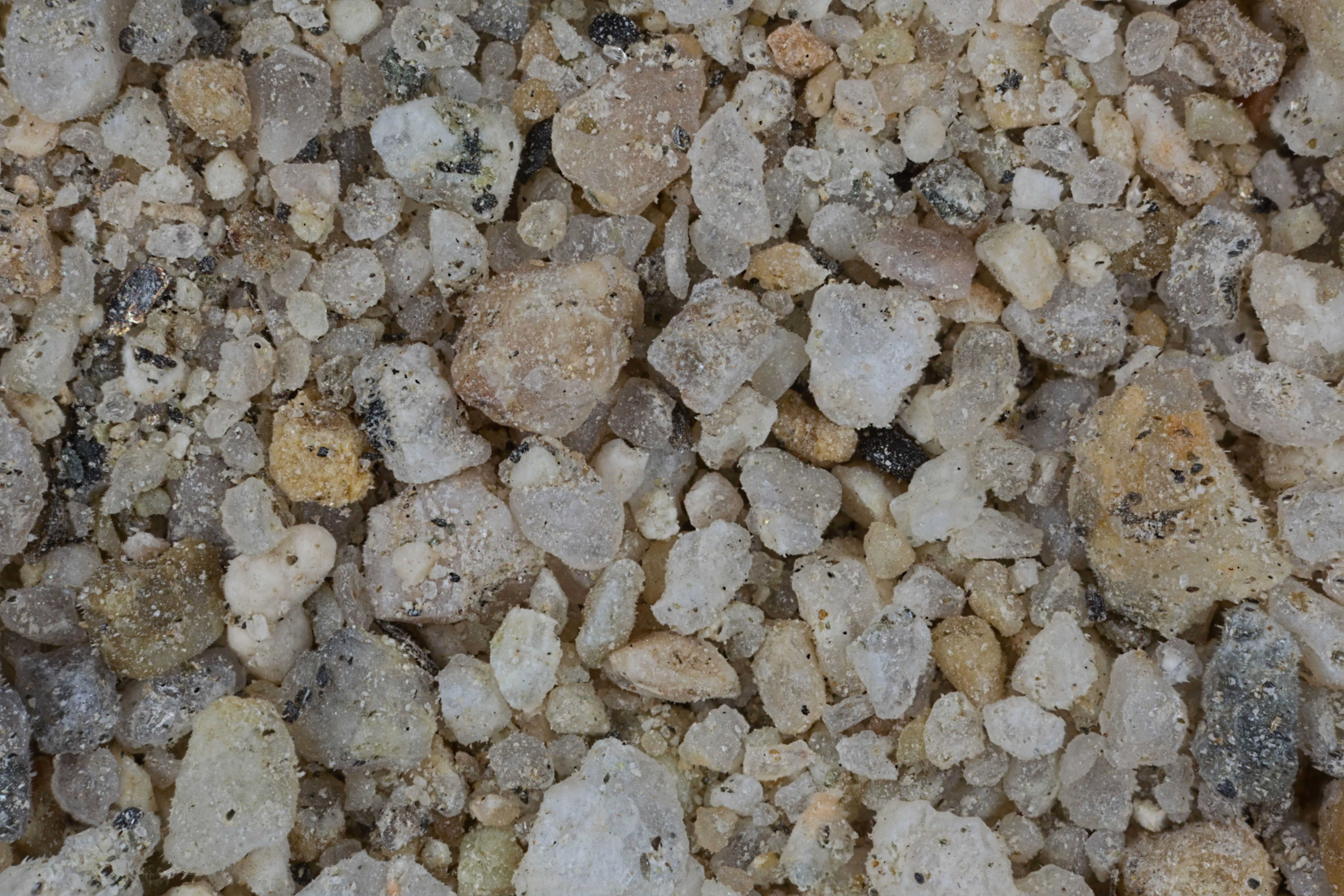
We left the town of Trona on Route 178, and came to an overlook that showed us Death Valley from a distance. We mistook the blinding sandstorm in the middle of the image for "fog." We soon learned very different! (See Below!!)  When I got out of he car to take this photograph, I also collected the borax sample from the side of the road.


 Space Shuttle 250 mm Image

Image credit:  Image Science and Analysis Laboratory, NASA Johnson Space Center (http://eol.jsc.nasa.gov)

ROUTE 178 NEAR TRONA 35.77N, 117.38W


The link is to the Wikipedia page on Trona.


ZERO MAGNIFICATION  IMAGE


1X* MAGNIFICATION (YELLOW LINE  = 2MM)

3X* MAGNIFICATION (YELLOW LINE  = 1MM)

Return to California Sand

Return to USA Map

Return to Home