International Space Station 45mm Photograph

Image credit:  Image Science and Analysis Laboratory, NASA Johnson Space Center (http://eol.jsc.nasa.gov)


PACIFIC BEACH 32.80N, 117.25W

The link is to Pacific Beach images.

B. Wemyss Photograph


ZERO MAGNIFICATION IMAGE

3X MAGNIFICATION (RED LINE  = 1MM)


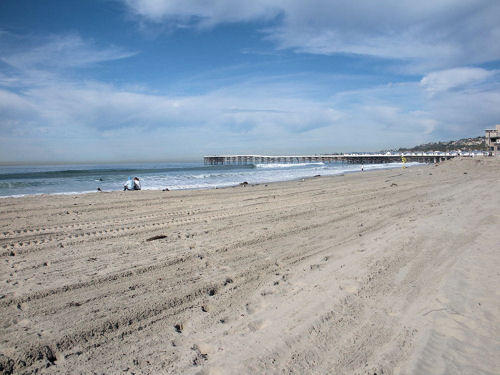
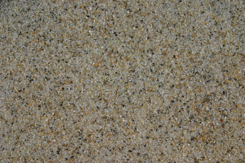
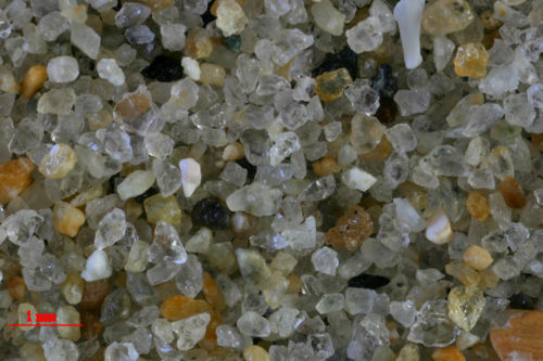
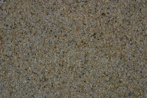
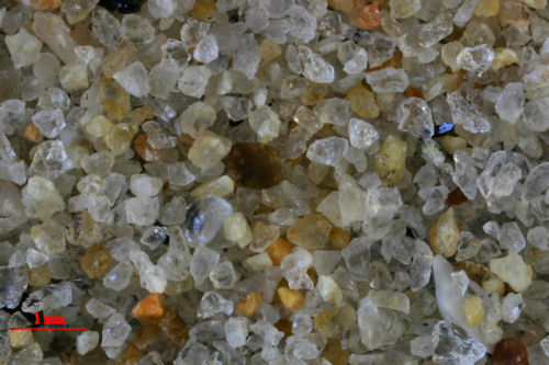
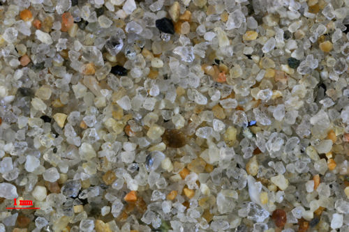
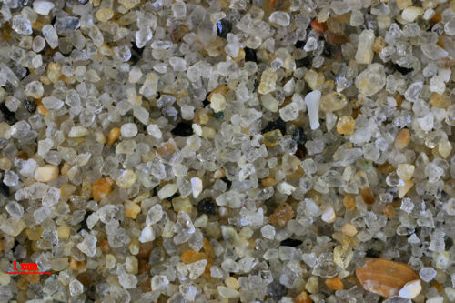
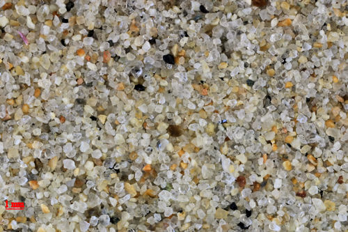
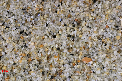
You be the judge! Torrey Pines and Pacific Beach are roughly a mile apart. How much did the sand change in that distance and why? The two samples were photographed under exactly the same conditions (natural light). The magnified images were edited to exactly the same extent, so any variation is a product of the sand, not the editing.

TORREY PINES STATE PARK                                                                                             PACIFIC BEACH

ZERO MAGNIFICATION IMAGE

ZERO MAGNIFICATION IMAGE

3X MAGNIFICATION (RED LINE  = 1MM)

3X MAGNIFICATION (RED LINE  = 1MM)

2X MAGNIFICATION (RED LINE  = 1MM)

2X MAGNIFICATION (RED LINE  = 1MM)

1X MAGNIFICATION (RED LINE  = 1MM)

1X MAGNIFICATION (RED LINE  = 1MM)


Return to California Sand

Return to USA Map

Return to Bill and Charlie