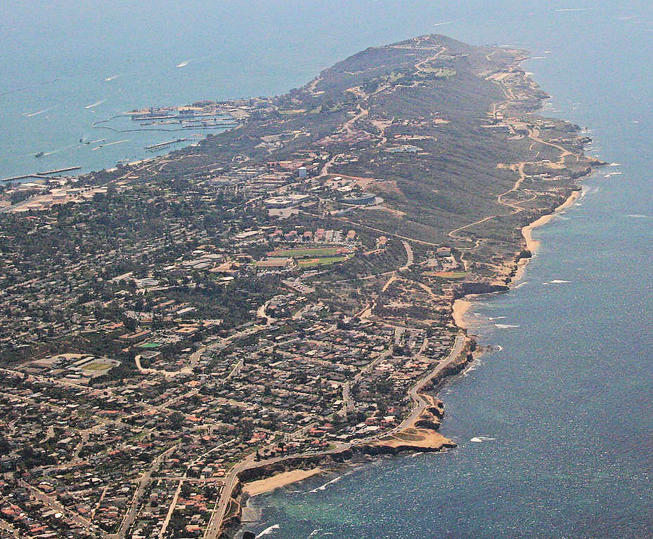
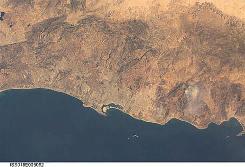
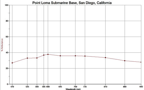
Point Loma Submarine Base, San Diego Harbor

Wikipedia Commons Photograph

POINT LOMA


International Space Station 45mm Photograph

Image credit:  Image Science and Analysis Laboratory, NASA Johnson Space Center (http://eol.jsc.nasa.gov)


POINT LOMA SUBMARINE BASE ENTRANCE TO SAN DIEGO HARBOR 32.67N, 117.24W

The link is to the Wikipedia page on Point Loma.


ZERO MAGNIFICATION IMAGE

REFLECTANCE SPECTRUM


1X MAGNIFICATION (RED LINE  = 1MM)

3X MAGNIFICATION (RED LINE  = 1MM)


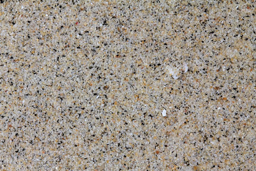
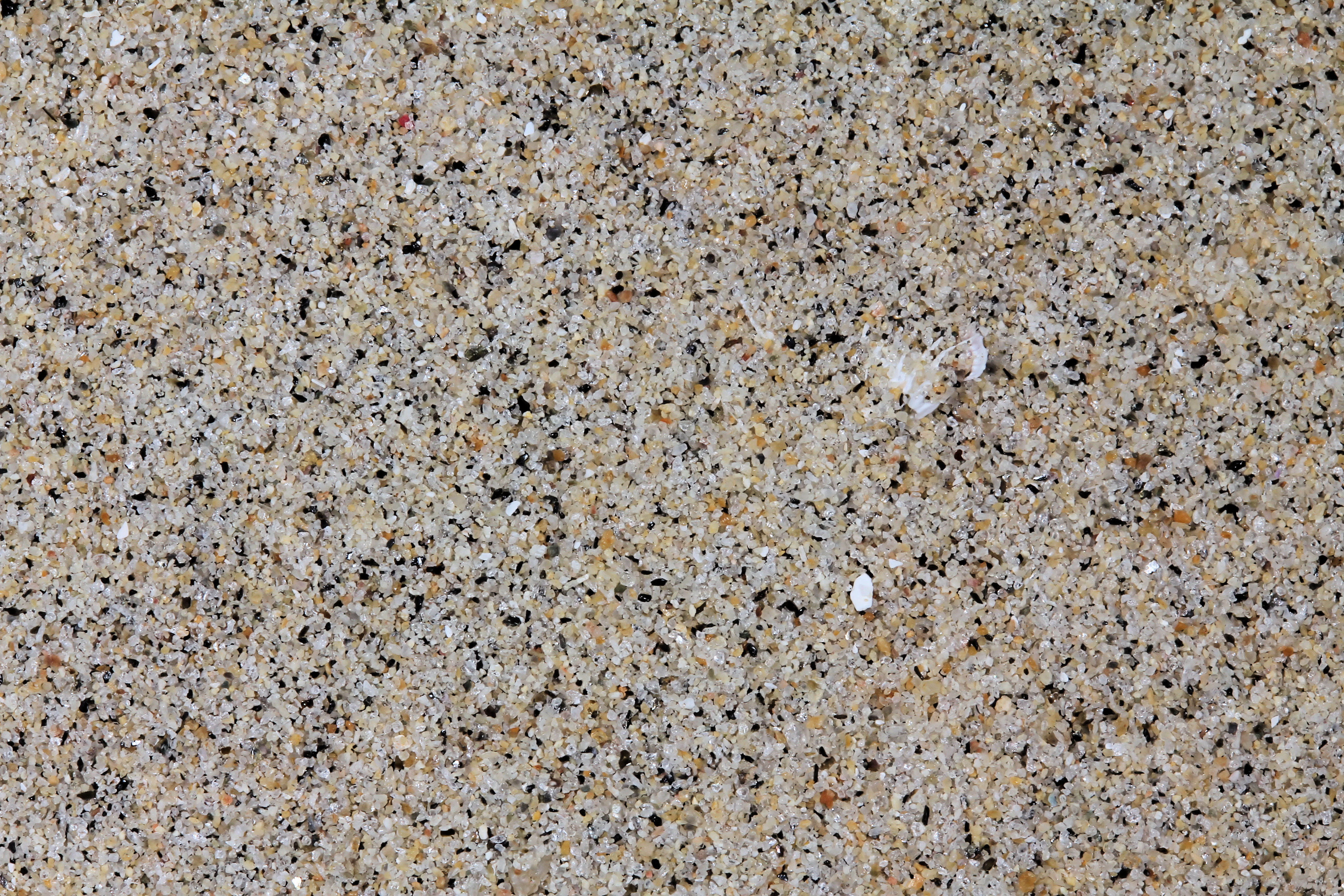
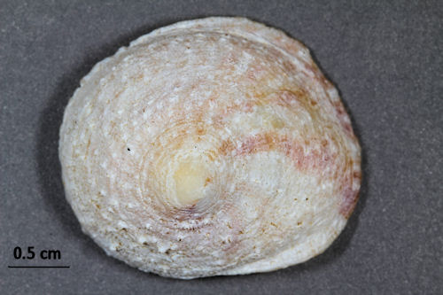
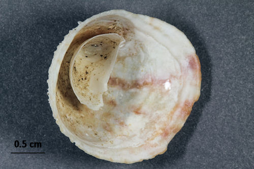
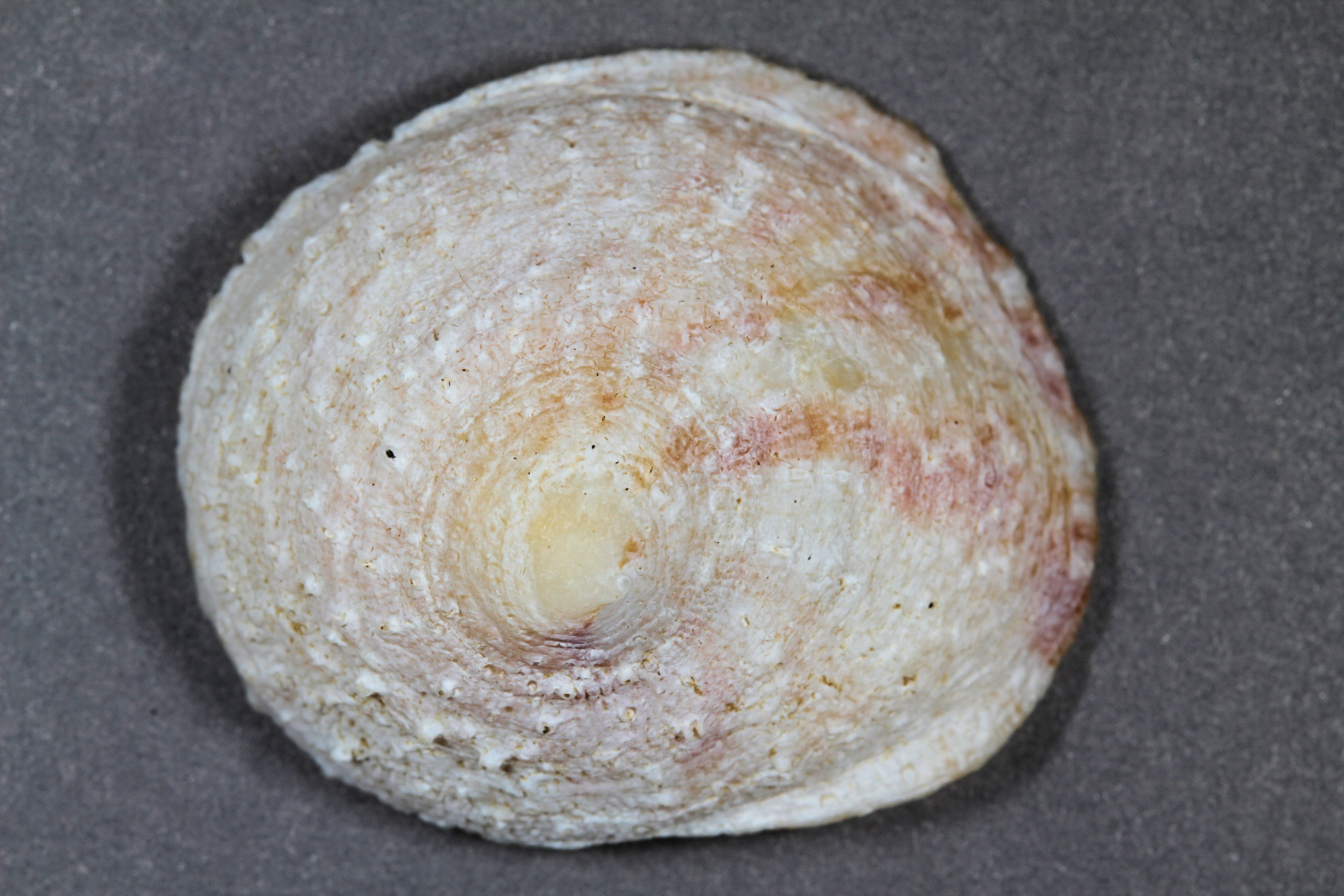
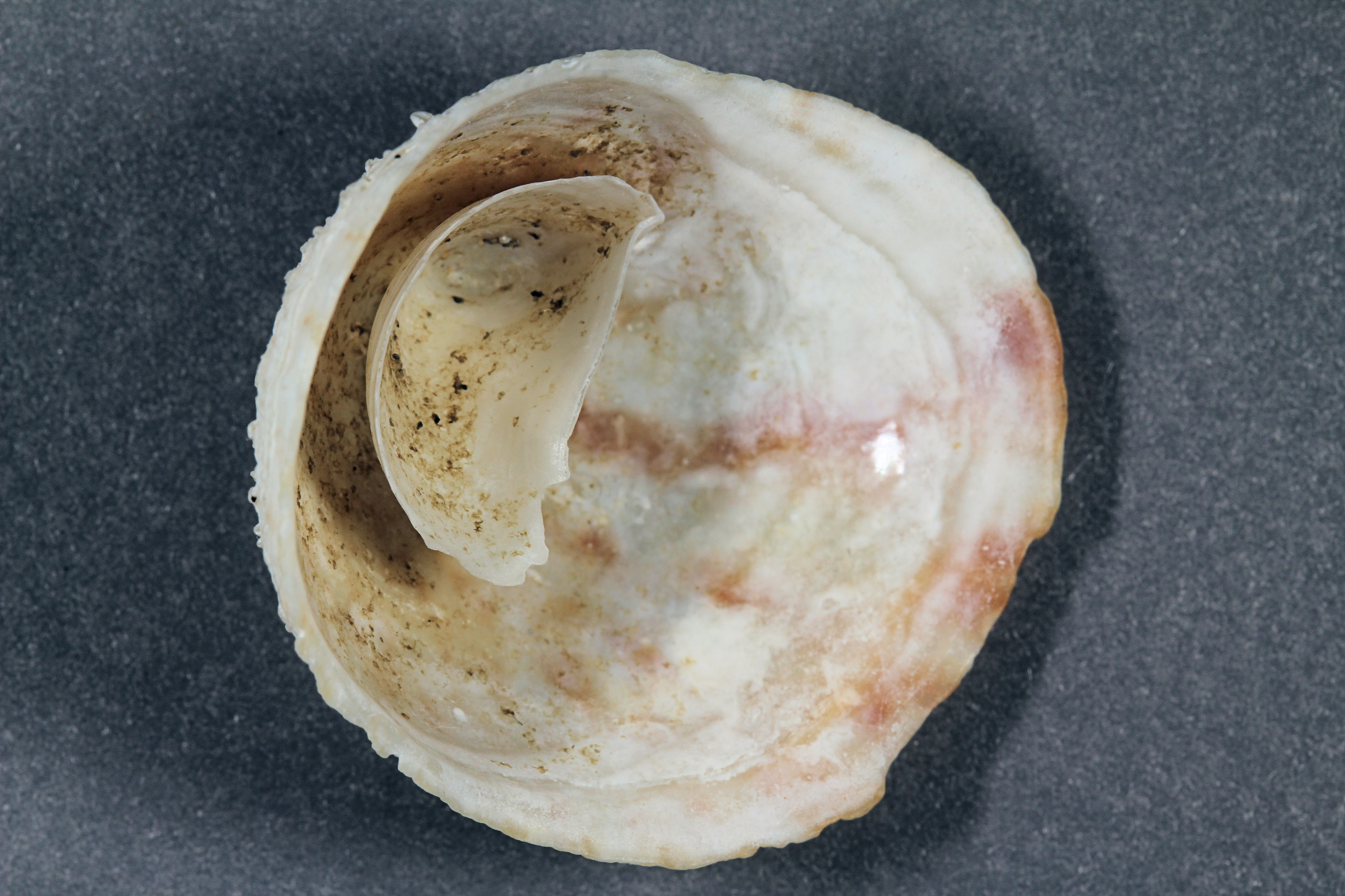
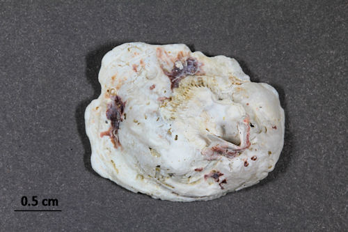
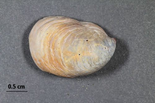
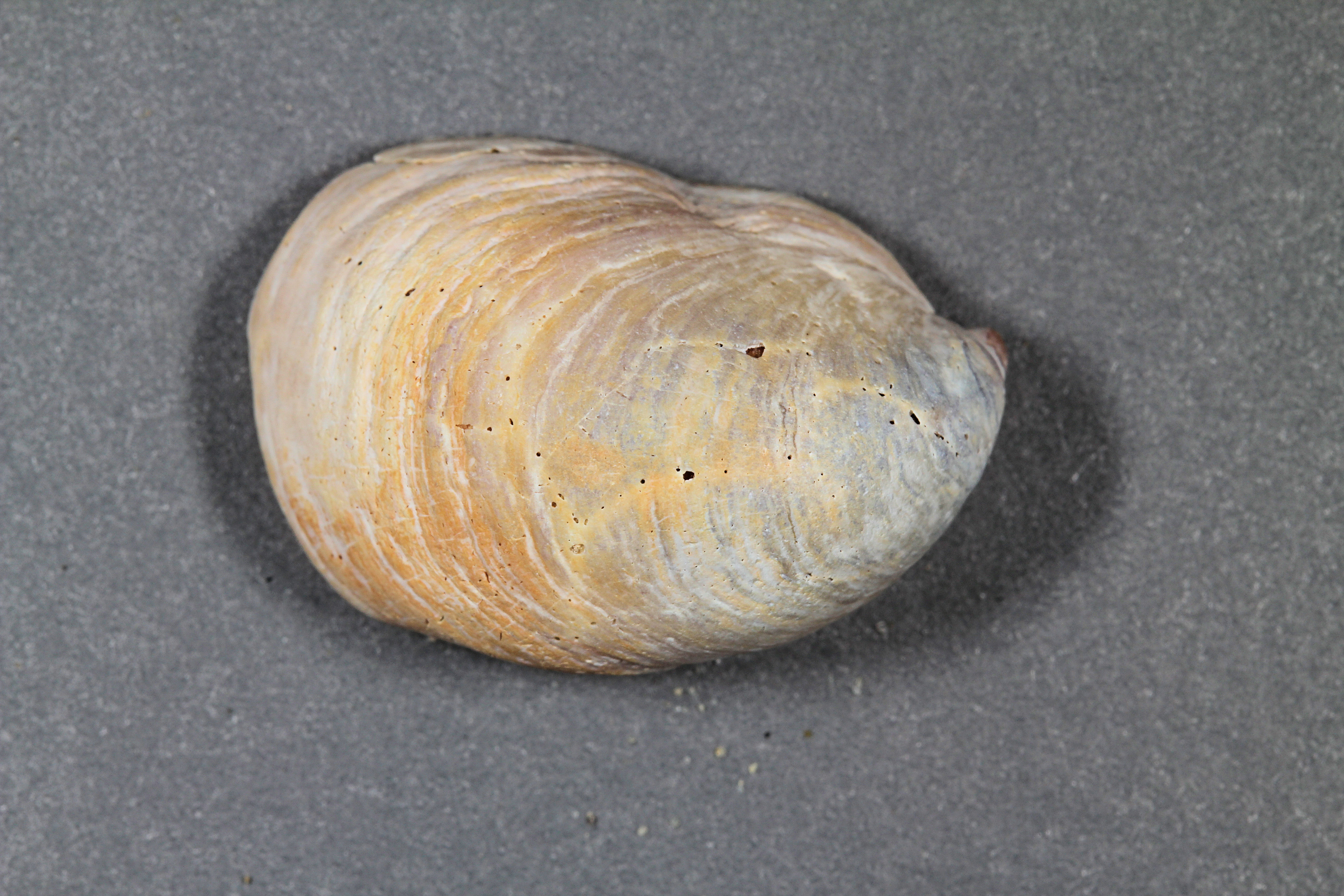
In addition to the sand sample, there also were three shells. The first shell was cone-shaped and had a very unique interior, so I photographed both sides.

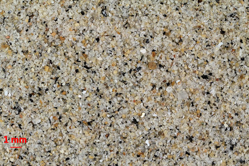
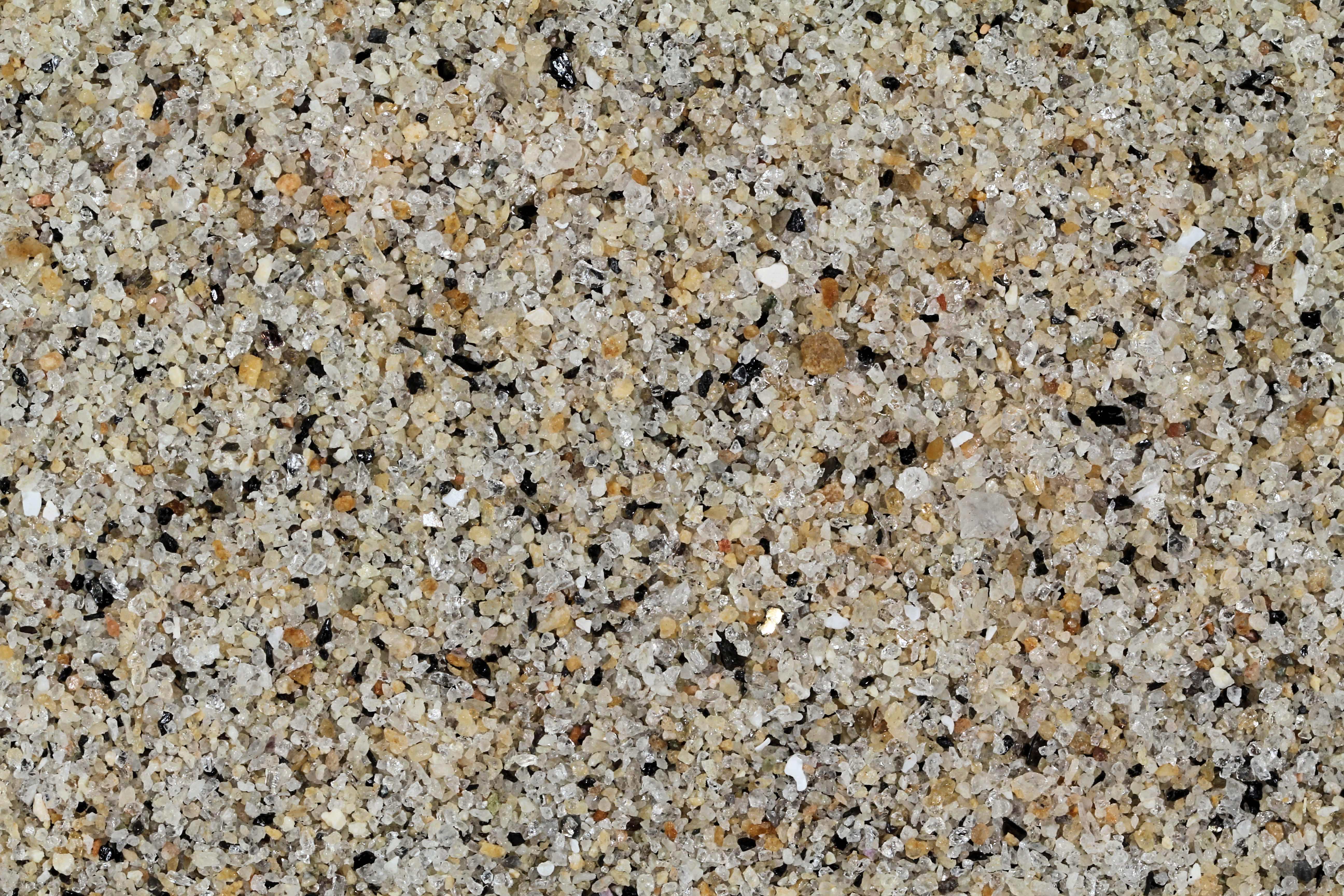
Return to California Sand to view high resolution versions of all Califo9rnia samples. Click on the thumbnails above to view high resolution versions of these samples.

Return to USA Map

Return to Home