C. Lindgren Photographs
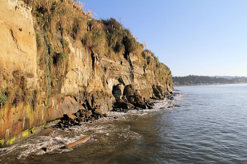
CAPITOLA BEACH CLIFFS
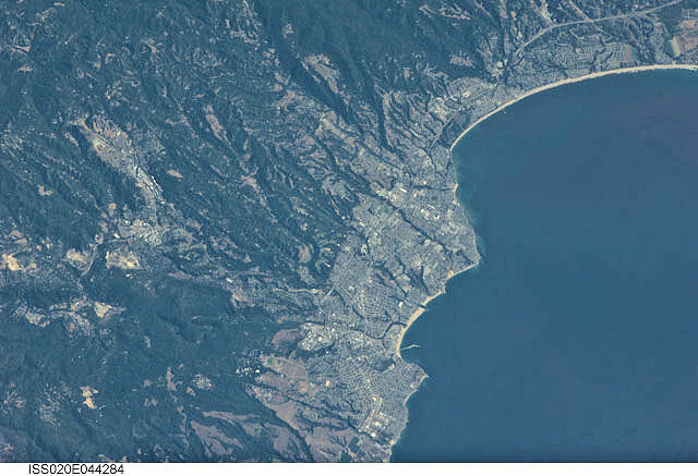
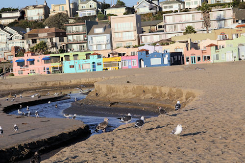
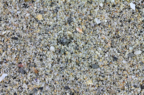
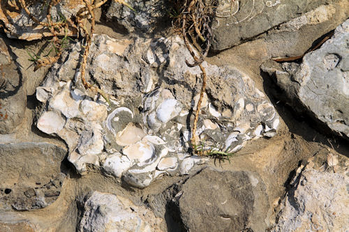
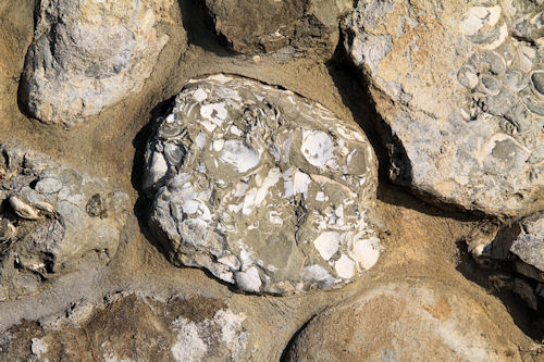
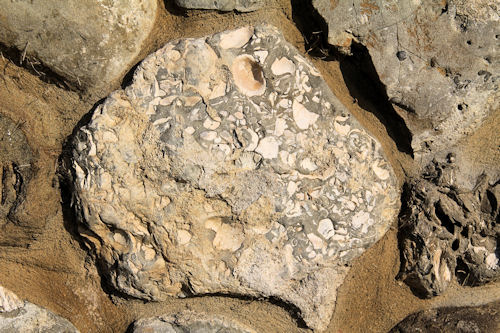
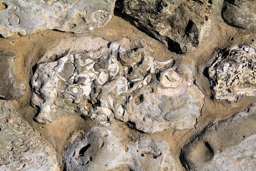
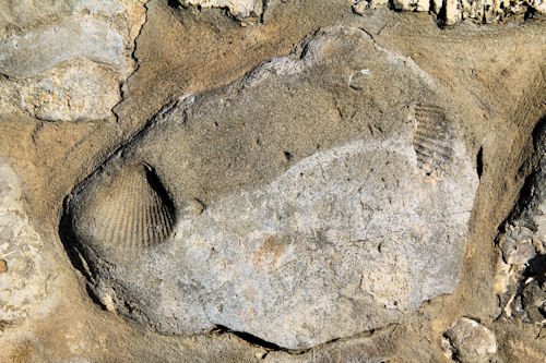
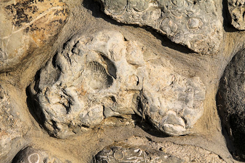
The plan was to get to the Capitola Beach cliffs at low tide so that we could examine the debris at the base for fossils. Well as the image shows, we timed it wrong. Luckily we found a stone wall on the beach composed of fossiliferous rock (see images below). For scale, the rocks are about 30 cm across. Needless to say this was our first trip to Capitola!
|
|
|
|
|
|
|
|
|
|
|
|
|
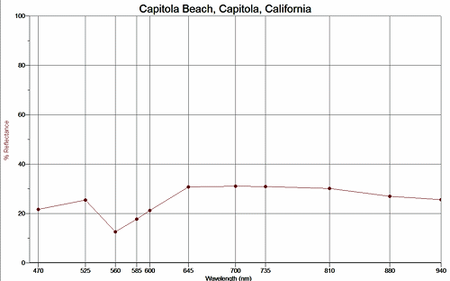
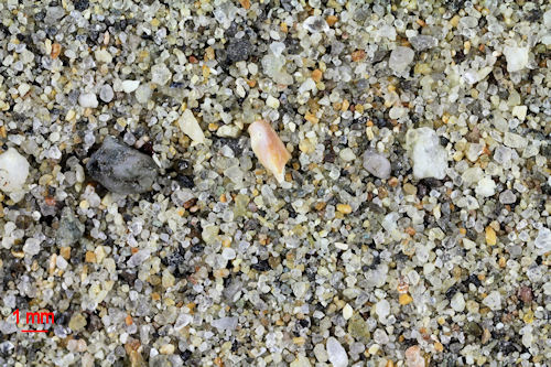
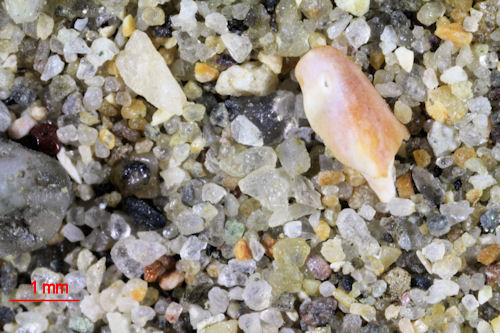
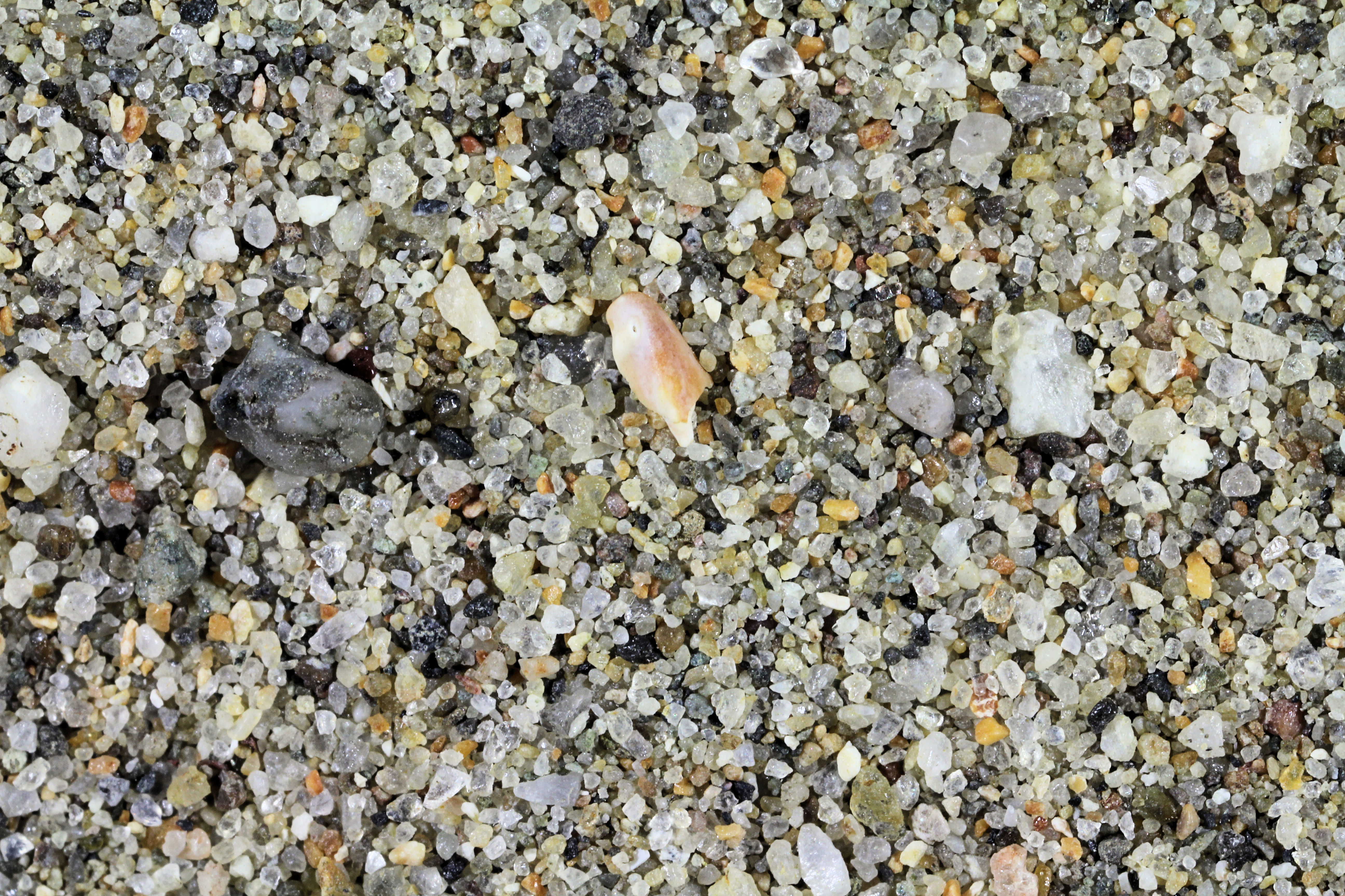
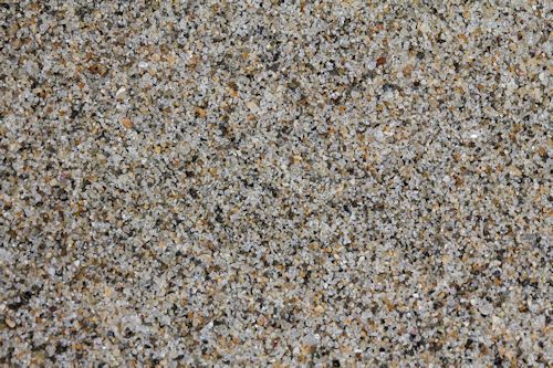
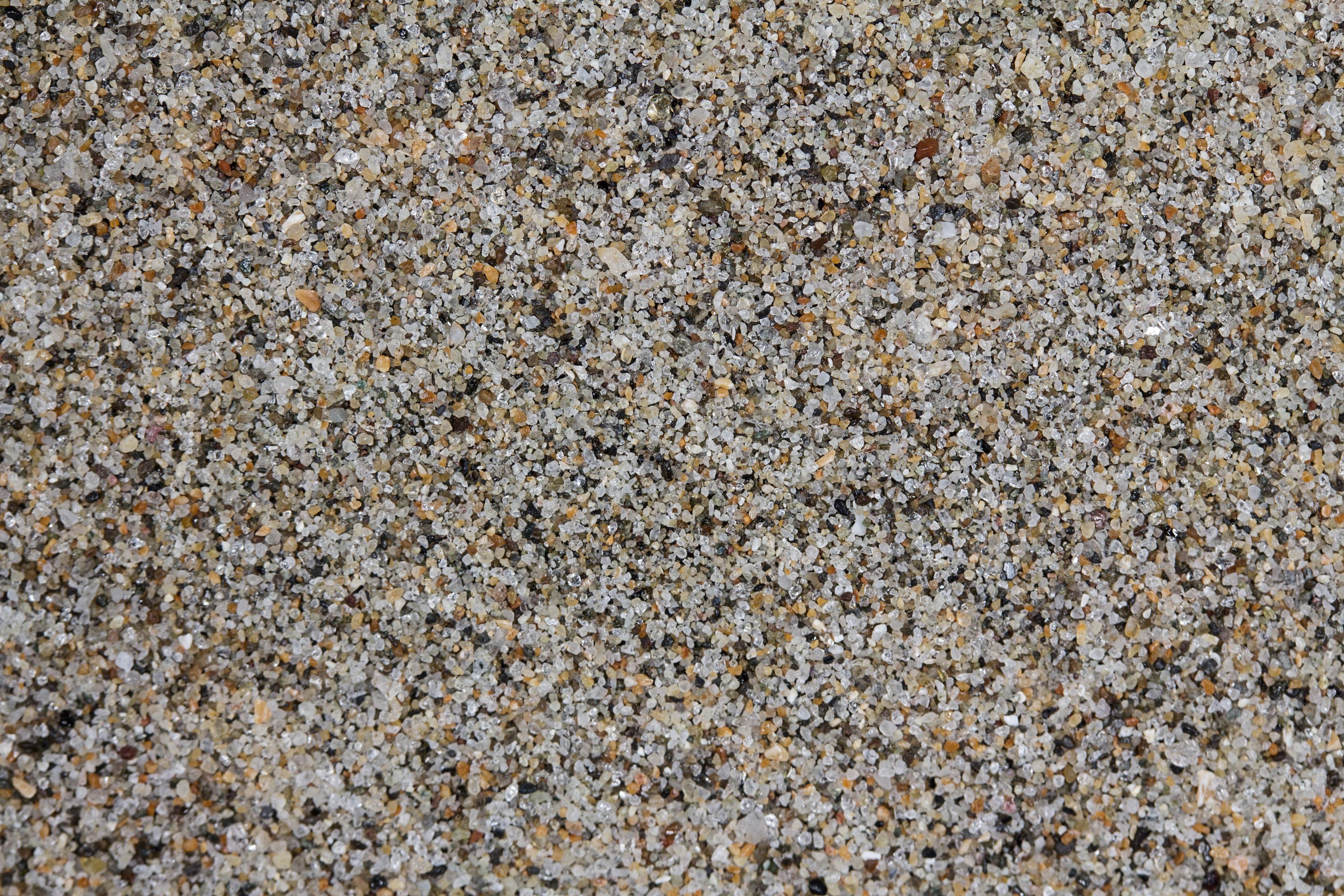
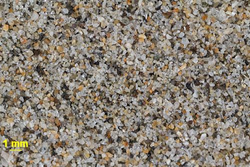
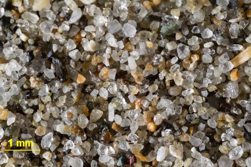
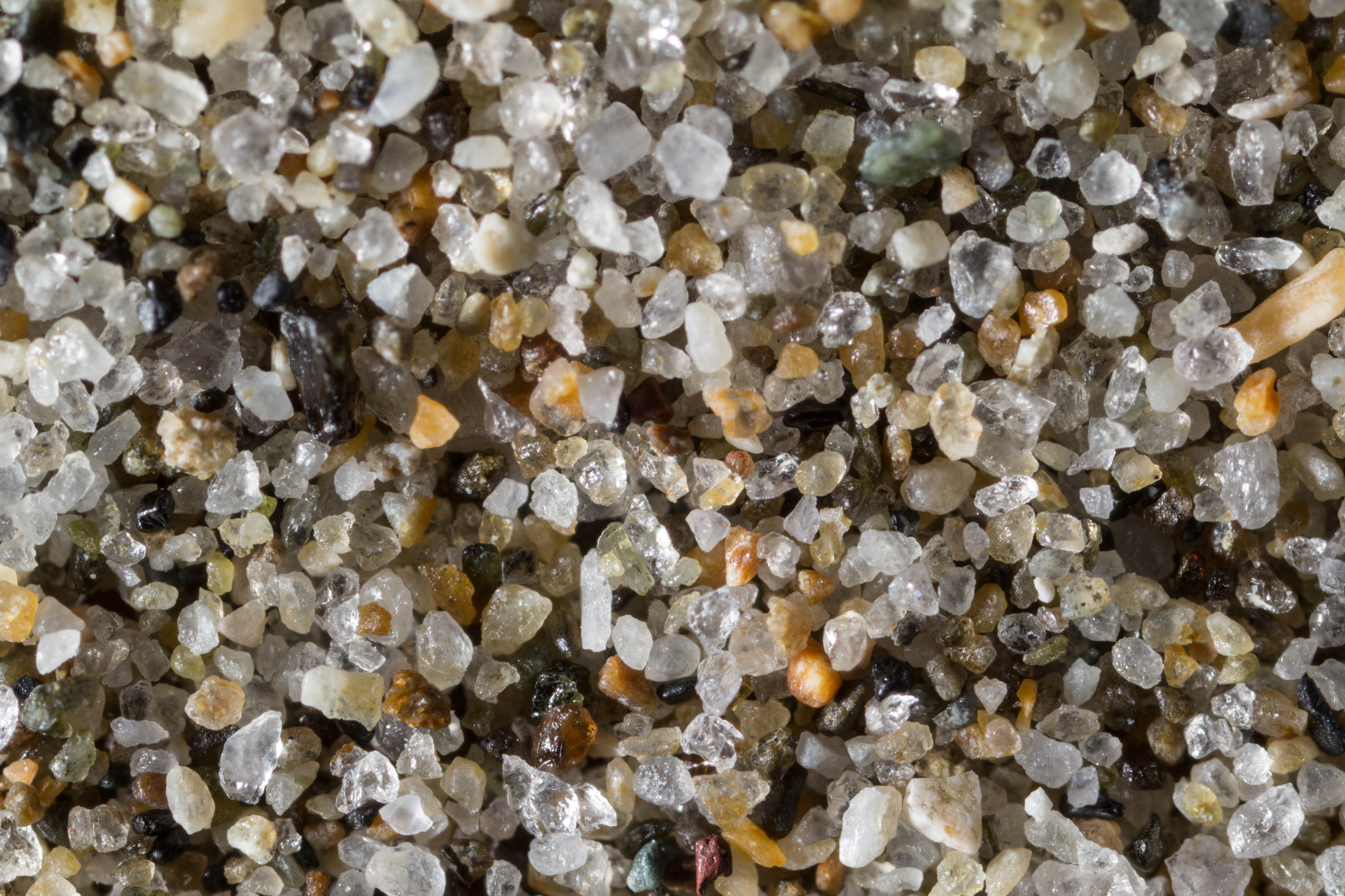
Return to California Sand to view high resolution versions of the 3X images.
Return to USA Map
Return to Home