|
International Space Station
180 mm Photograph
Image credit:
Image Science and Analysis
Laboratory, NASA Johnson Space Center (http://eol.jsc.nasa.gov) |
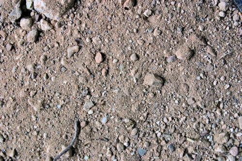
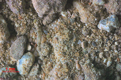
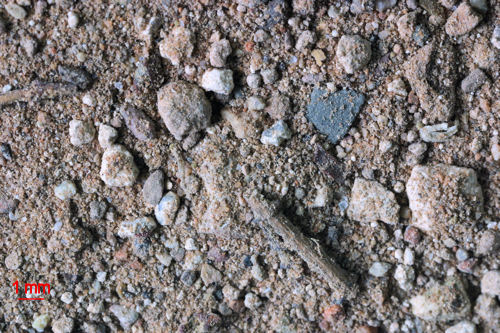
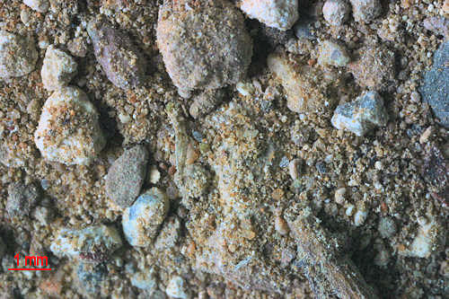
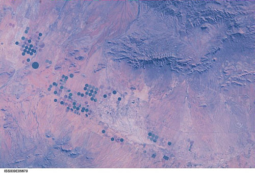
TOMBSTONE, LUCKY
HILLS RANCH 31.56N, 110.25W
Read the Tombstone Epitaph's story of
the Lucky Hills Ranch's demise!.
|