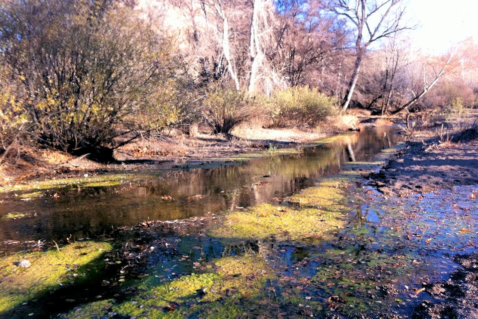
N. Siddens Photographs
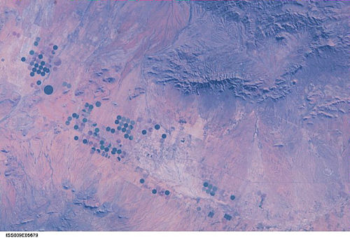
International Space Station 180 mm Photograph
Image credit: Image Science and Analysis Laboratory, NASA Johnson Space Center (http://eol.jsc.nasa.gov)
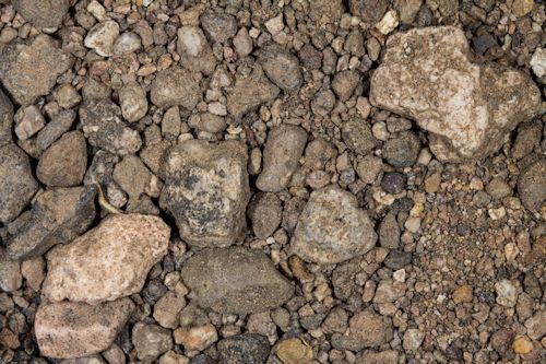
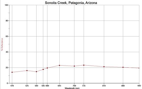
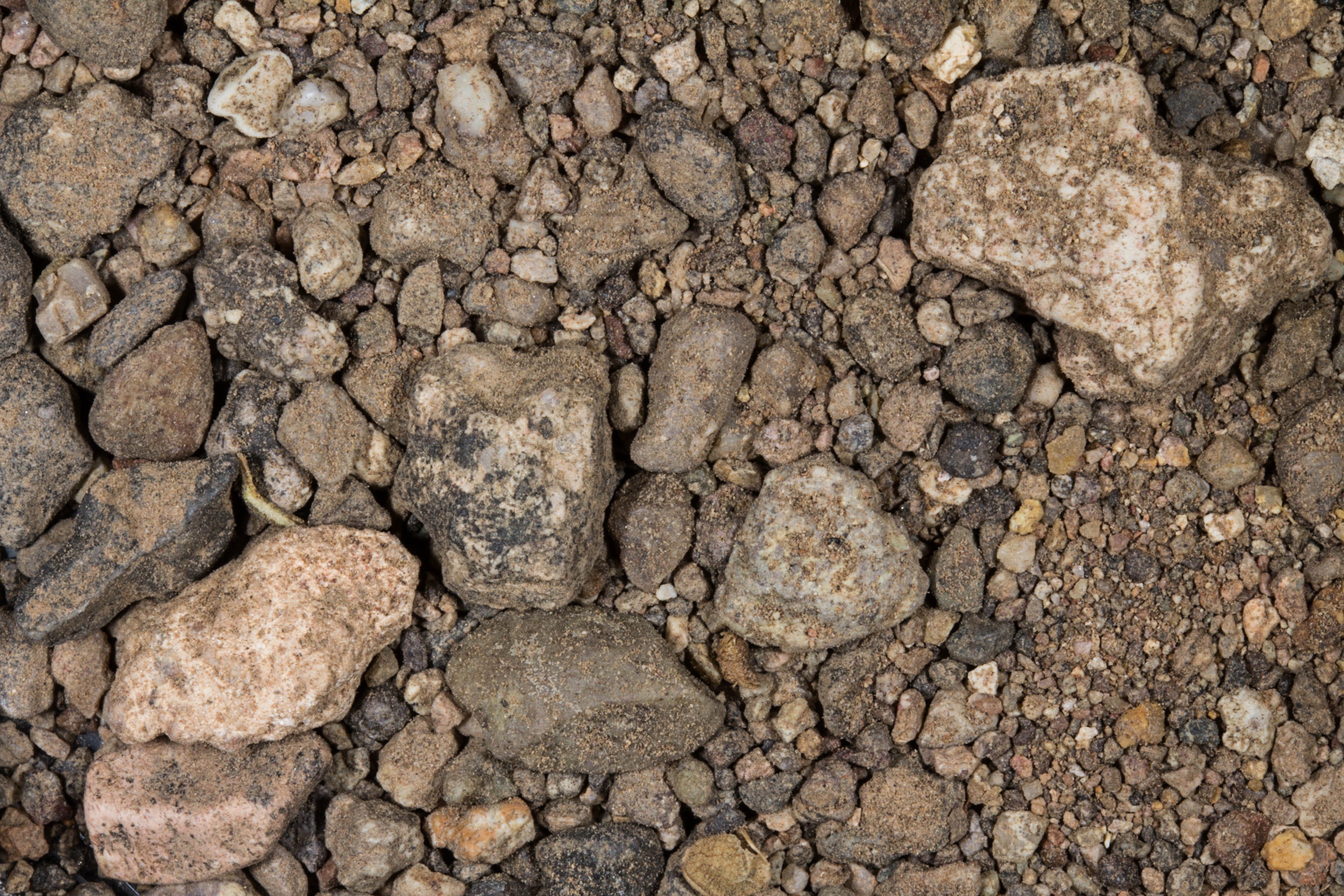
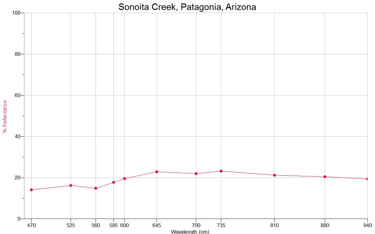
SONOITA CREEK, PATAGONIA 31.54N, 110.75W
The link is to the Nature Conservency site on Sonoita Creek.
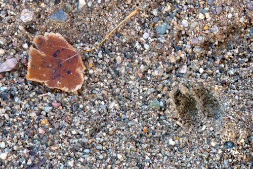
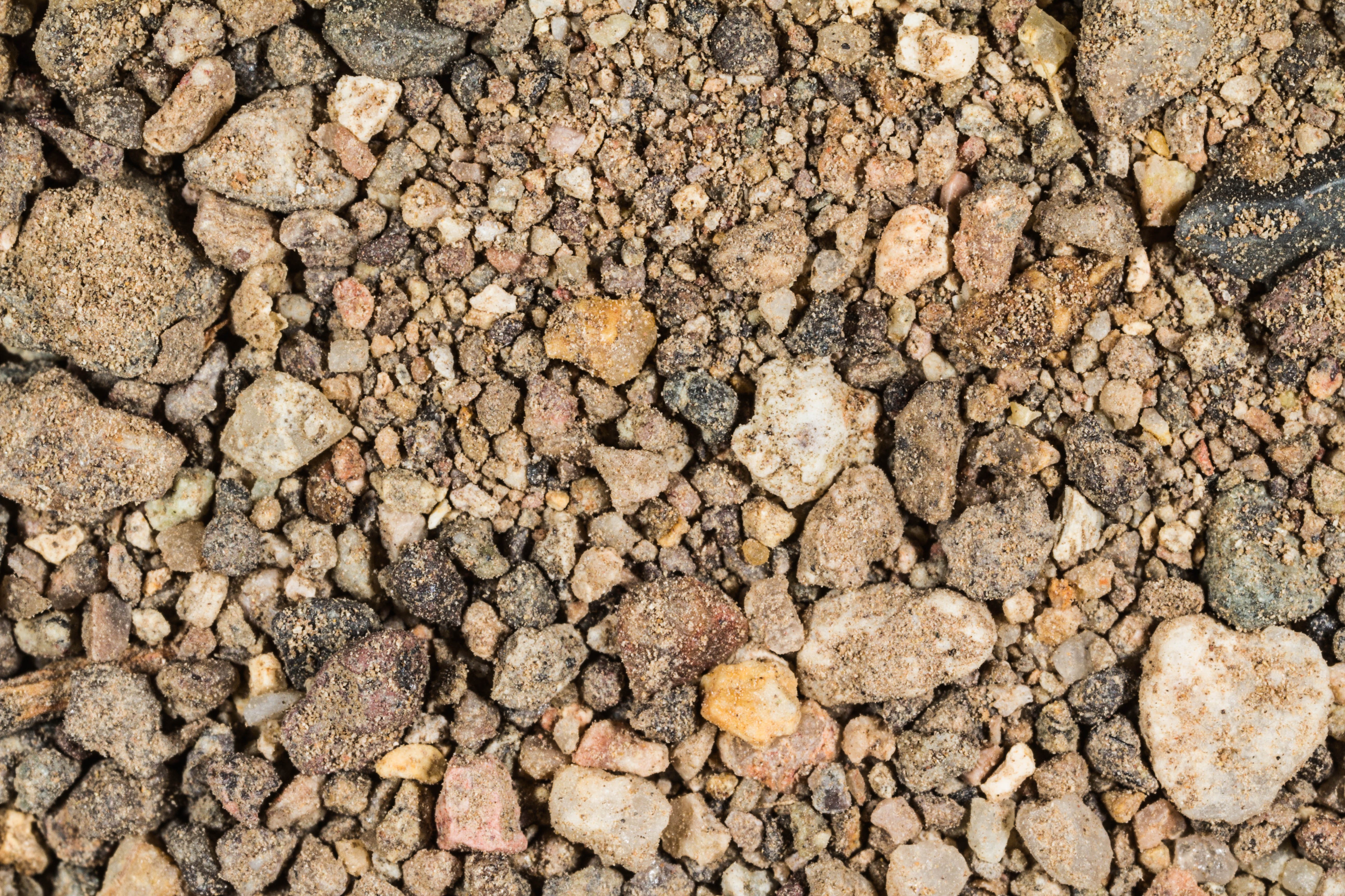
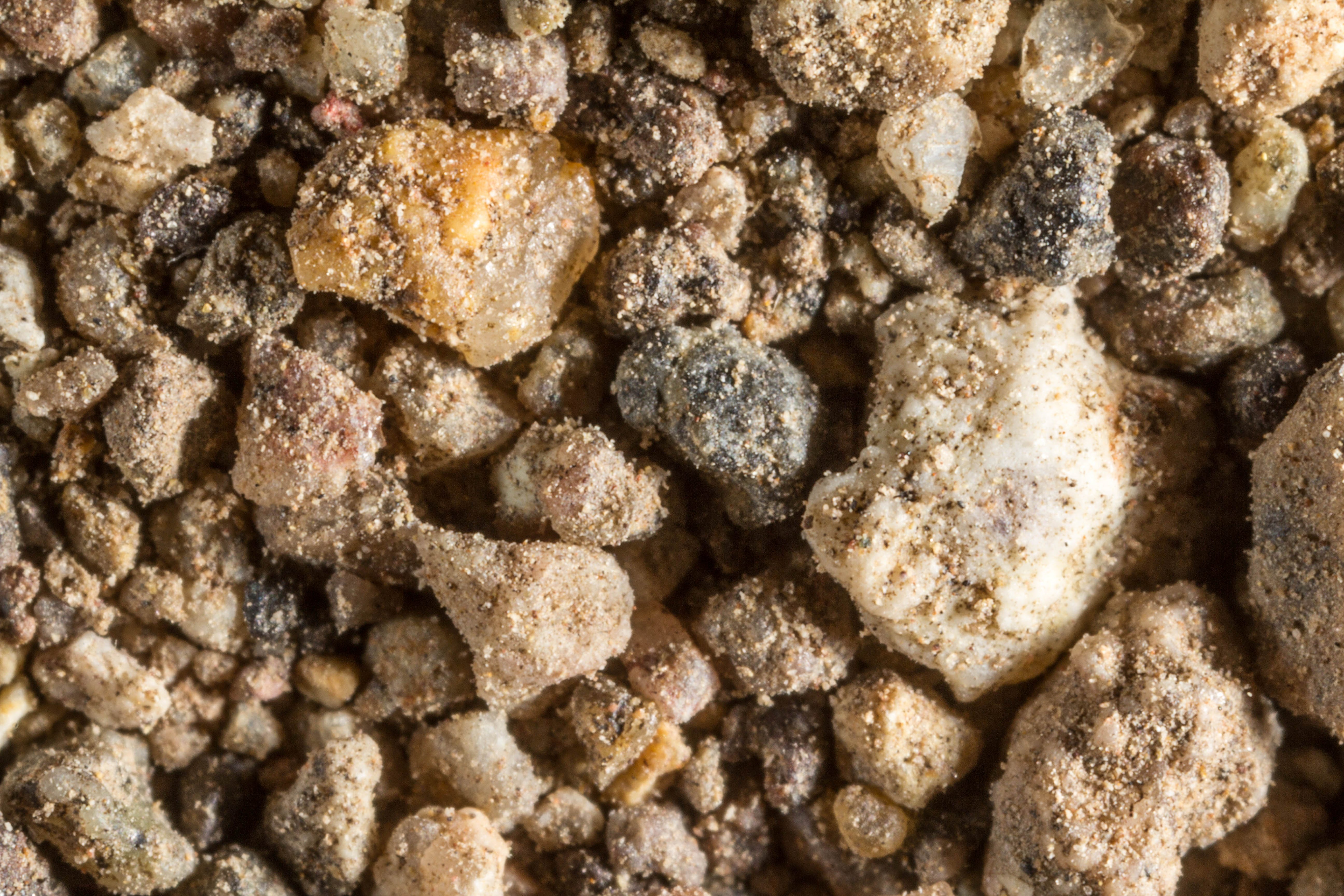
ZERO MAGNIFICATION IMAGE
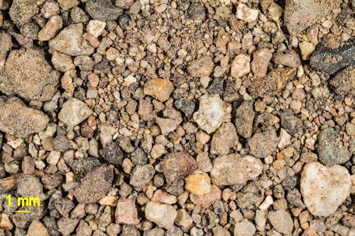
1X MAGNIFICATION (YELLOW LINE = 1MM)
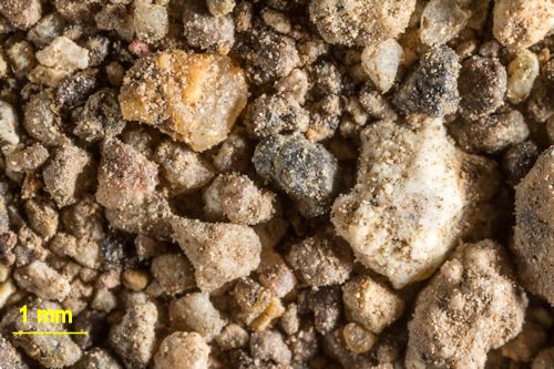
3X MAGNIFICATION (YELLOW LINE = 1MM)
Return to Arizona Sand to view high resolution versions of all Arizona sand samples. Click on the thumbnails above to view high resolution versions of these samples.
Return to USA Map
Return to Home