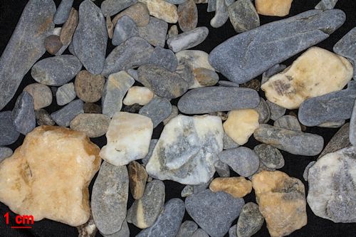
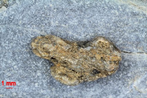
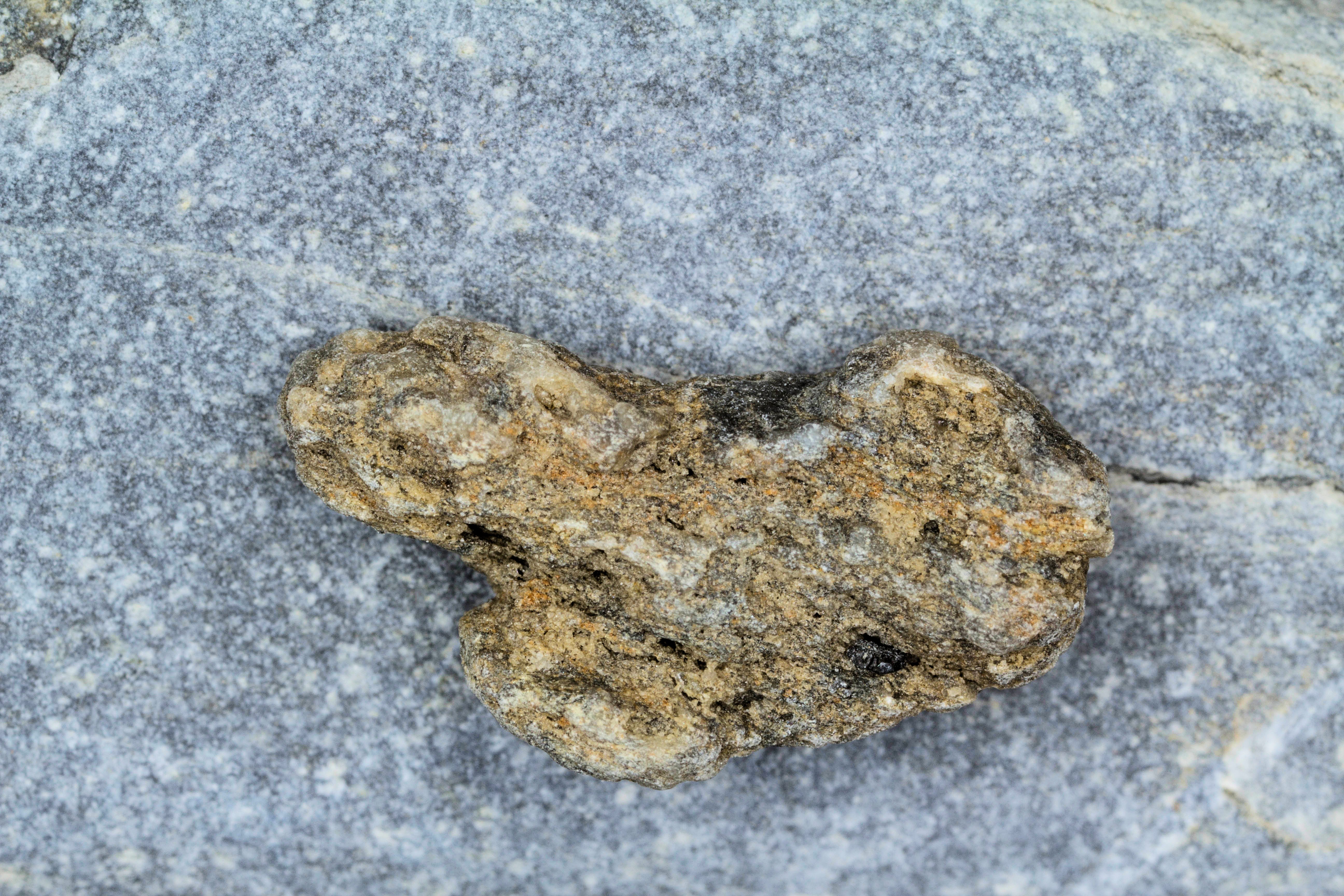
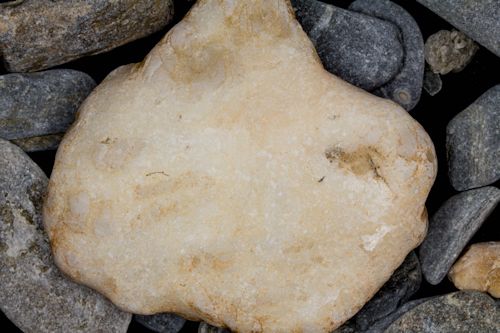
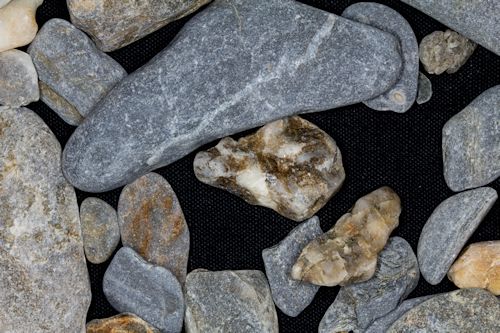
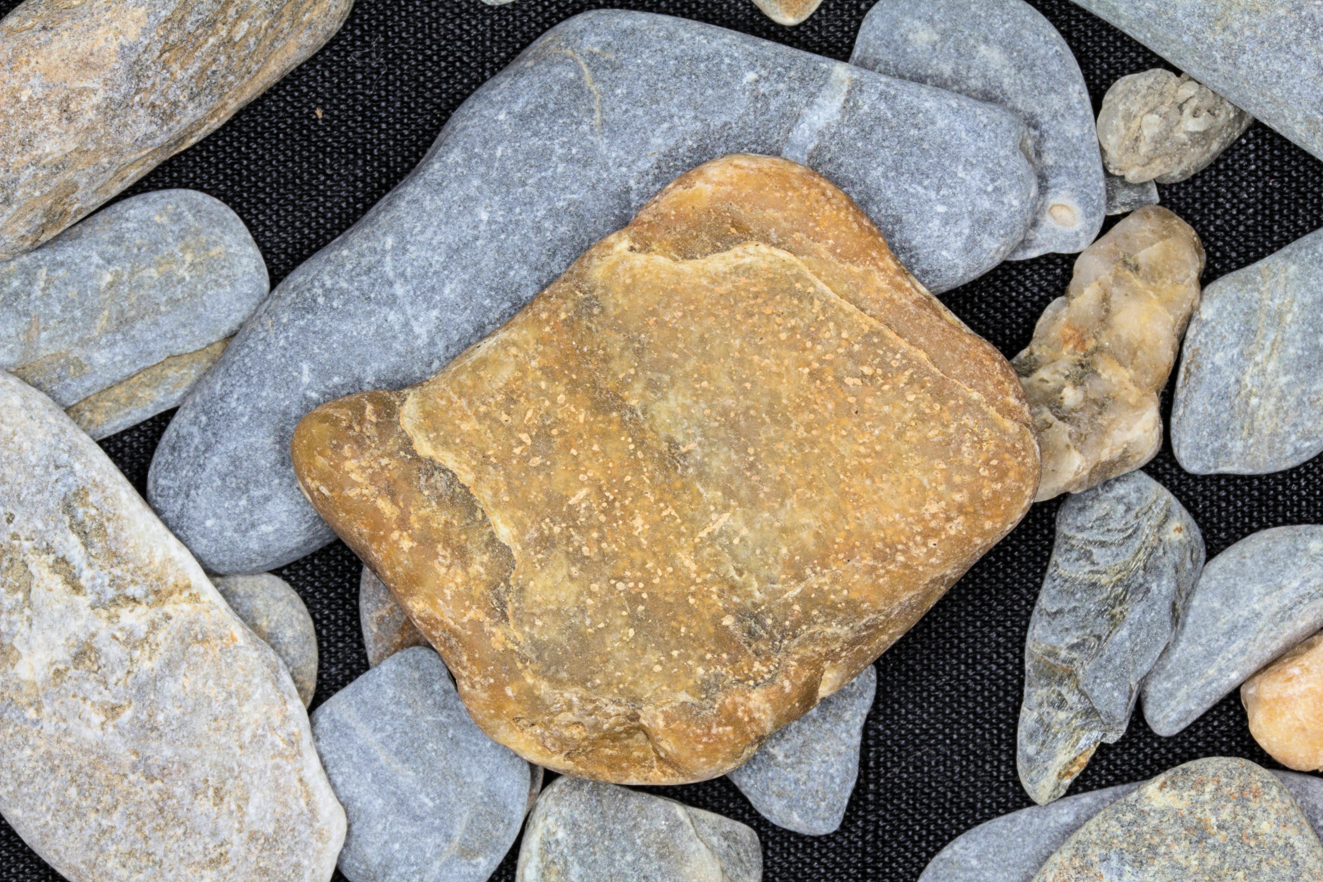
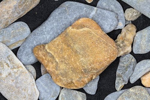
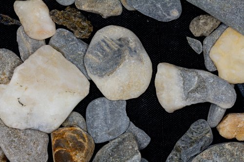
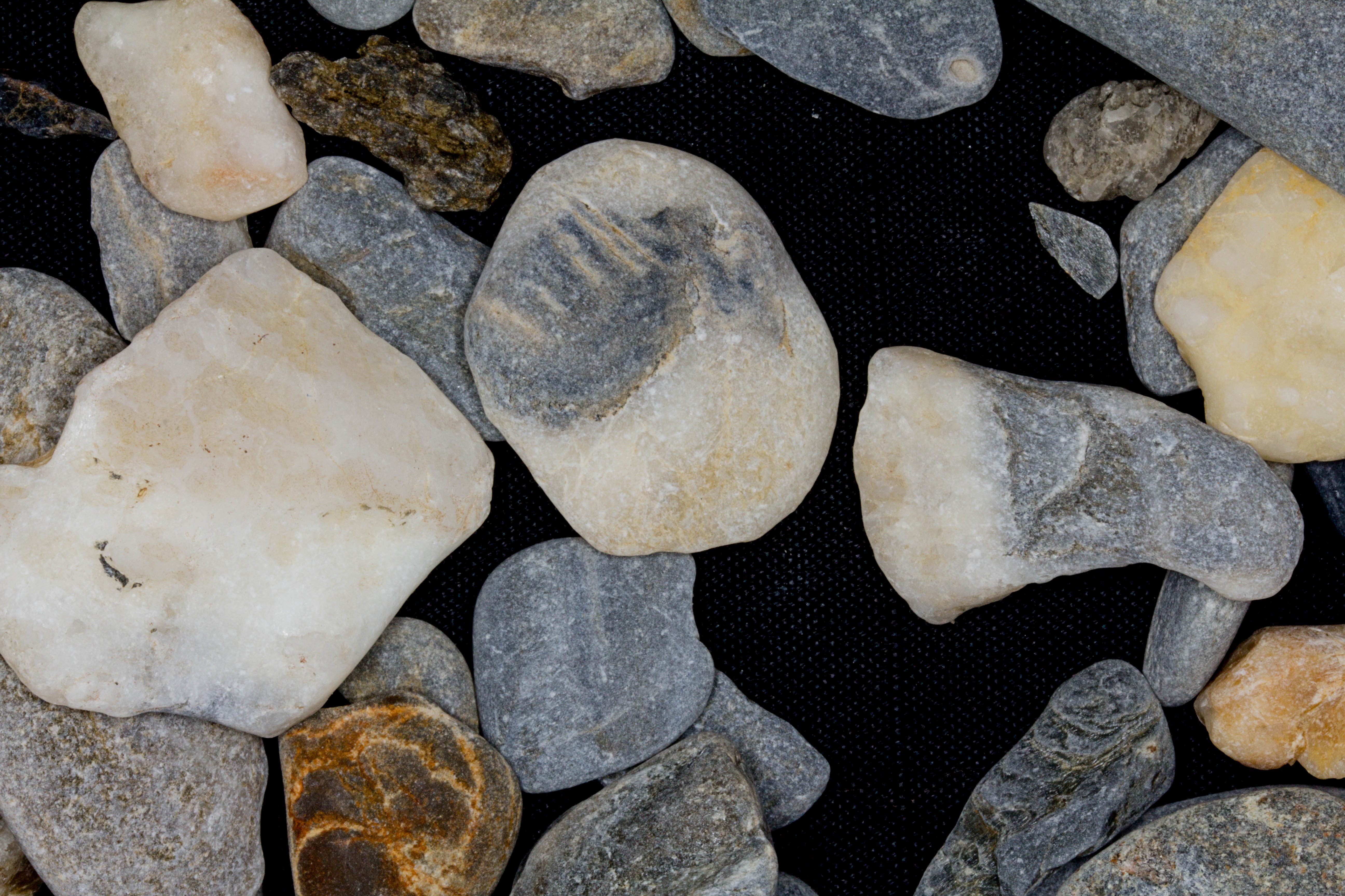
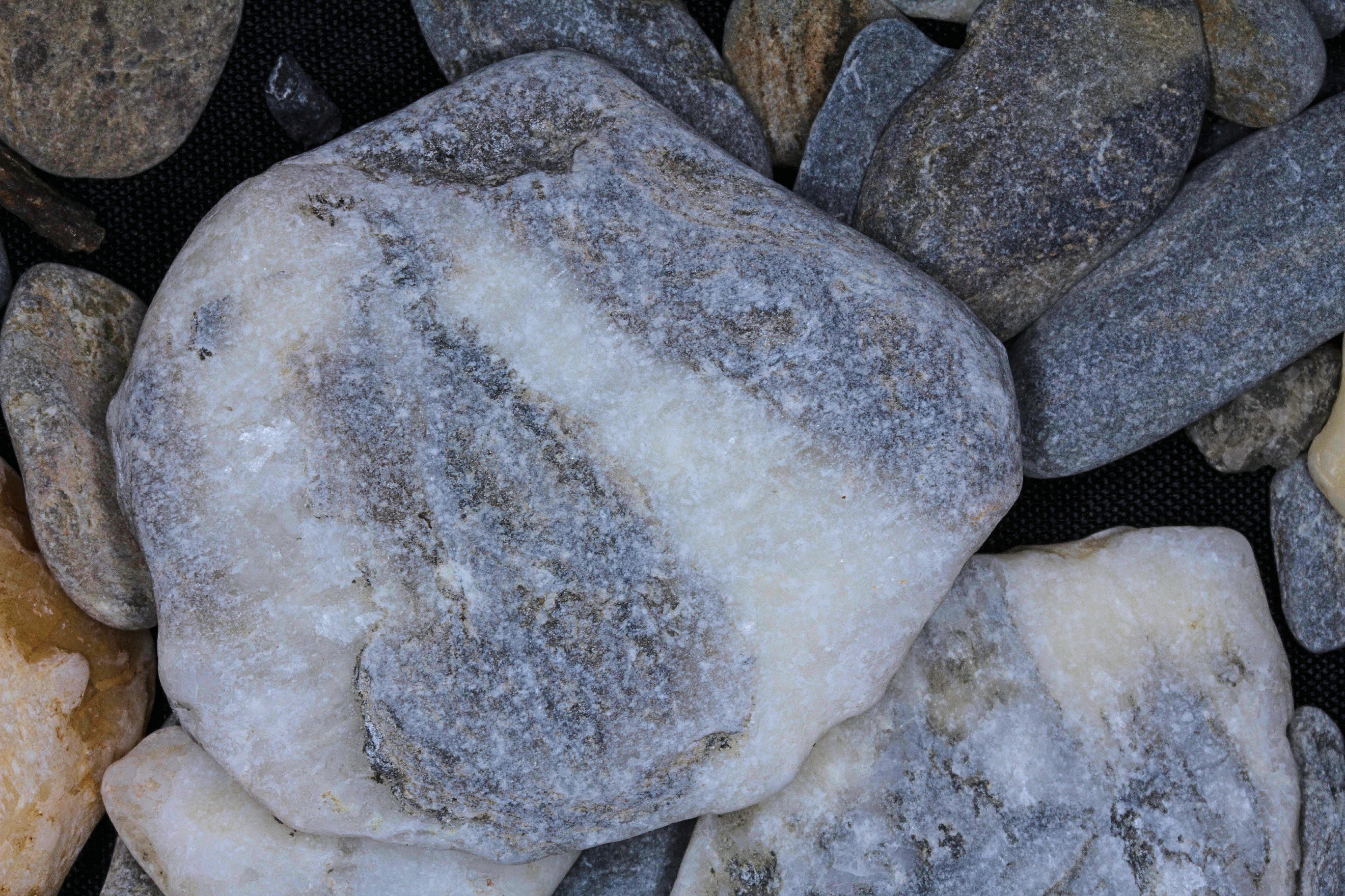
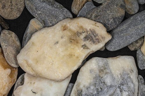
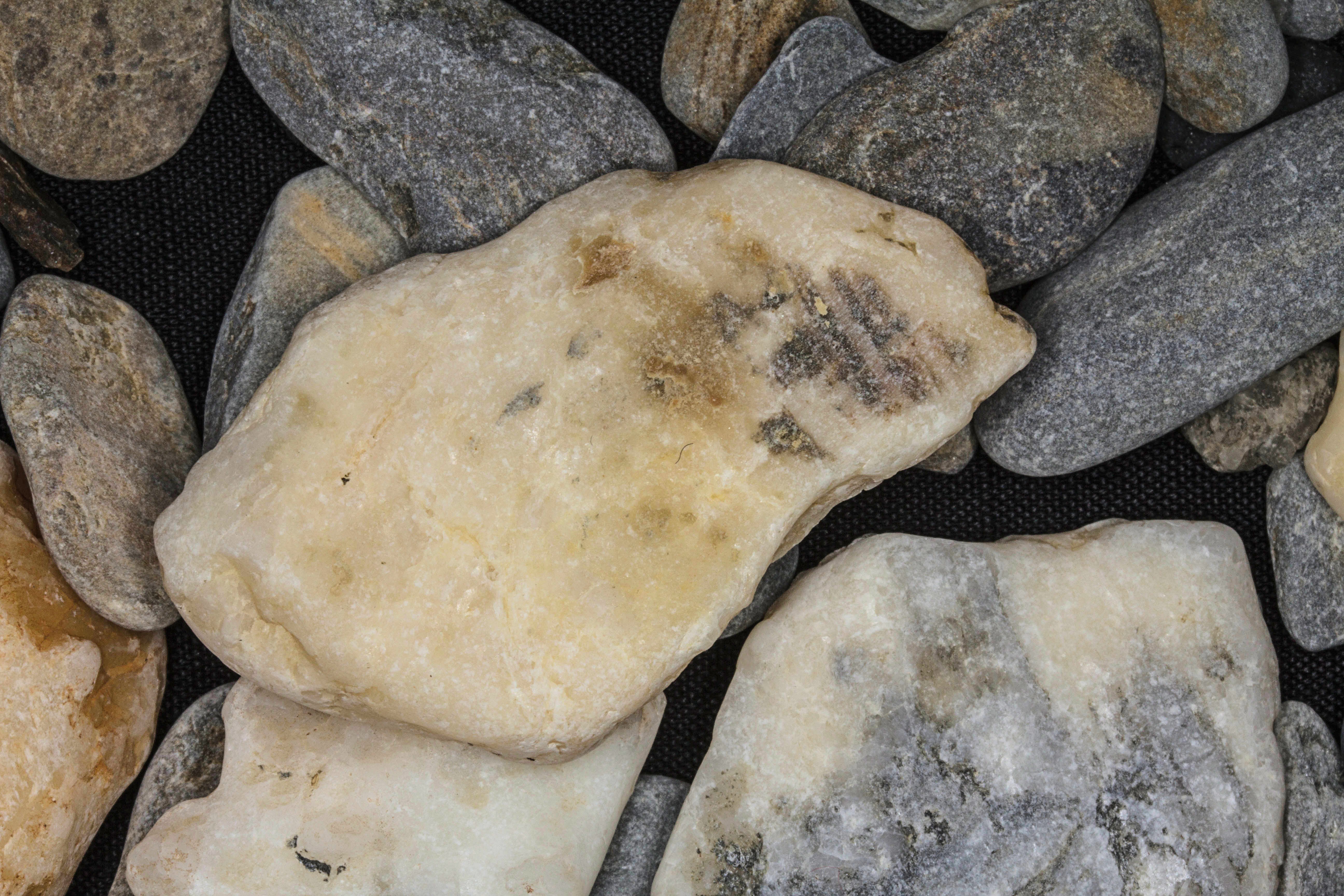
Similar to Brevig Mission, I had to do something different with Teller because technically the sample wasn't sand. Geologists identify sand grains as falling between 1/16 of a mm to 2 mm. Anything larger is a pebble. We are dealing with pebbles here! All of the pebbles are igneous, and they are very varied. What I tried to do was give a cross section of the different pebbles that make up this very unusual sample. The top left image was taken at ZERO MAGNITUDE. I included a scale bar because the photograph had to be taken at a much higher elevation to include the samples. The top image on the right was taken at 1X MAGNIFICATION . All of the remaining images were taken at ZERO MAGNITUDE from the usual height. Enjoy!! Thanks Pam for a great sample from this very unique site.
|
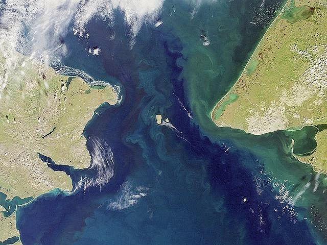
This sample was contributed by a faculty member from the Anthony A. Andrews School in St. Michael, Alaska.
The Andrews School is a member of the Bering Strait School District.
Return to Alaskan Sand to view a high resolution version of all Alaska samples. Click the thumbnails above to view high resolution versions of these images.
Return to USA Map
Return to Home


