Ketchikan Creek, Ketchikan

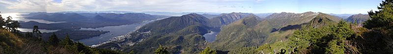
"A panorama of downtown Ketchikan and surrounding terrain from the peak of Deer Mountain in October 2004. Pennock Island divides the Tongass Narrows on the left, and Gravina Island lies on the distant side of the Narrows." - Wikipedia

Wikipedia Commons Image

                                                                                                                                                       D. Kraver Photograph
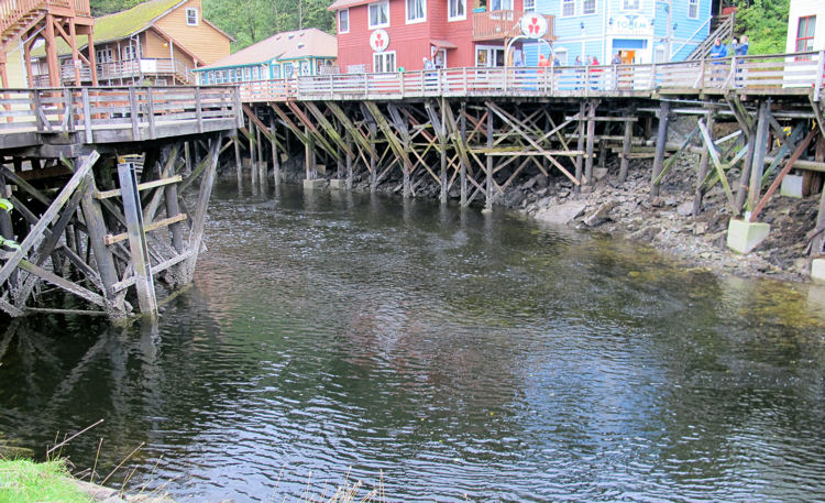
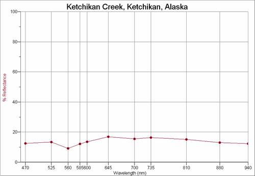
KETCHIKAN CREEK


 Space Shuttle Station 100mm Photograph

Image credit:  Image Science and Analysis Laboratory, NASA Johnson Space Center (http://eol.jsc.nasa.gov)


KETCHIKAN CREEK, KETCHIKAN 55.35N, 131.67W

The link is to the Wikipedia page on Ketchikan.


ZERO MAGNITUDE IMAGE

REFLECTANCE SPECTRUM


1X MAGNIFICATION (RED LINE  = 1MM)

2X MAGNIFICATION (RED LINE  = 1MM)


2X MAGNIFICATION (RED LINE  = 1MM)

3X MAGNIFICATION (RED LINE  = 1MM)


3X MAGNIFICATION (RED LINE  = 1MM)

3X MAGNIFICATION (RED LINE  = 1MM)


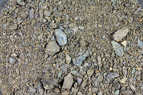
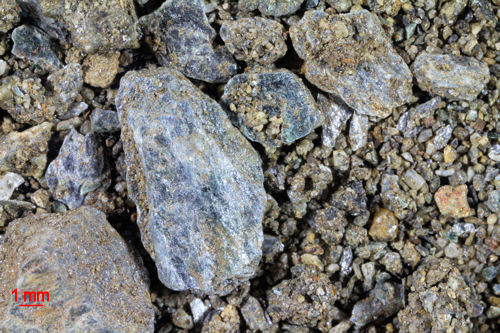
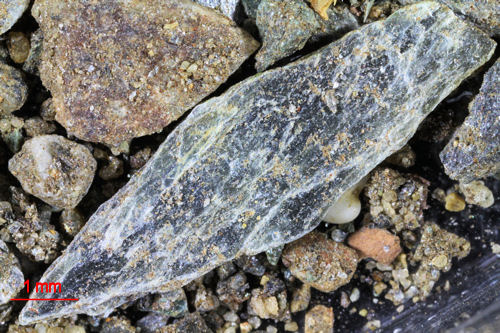
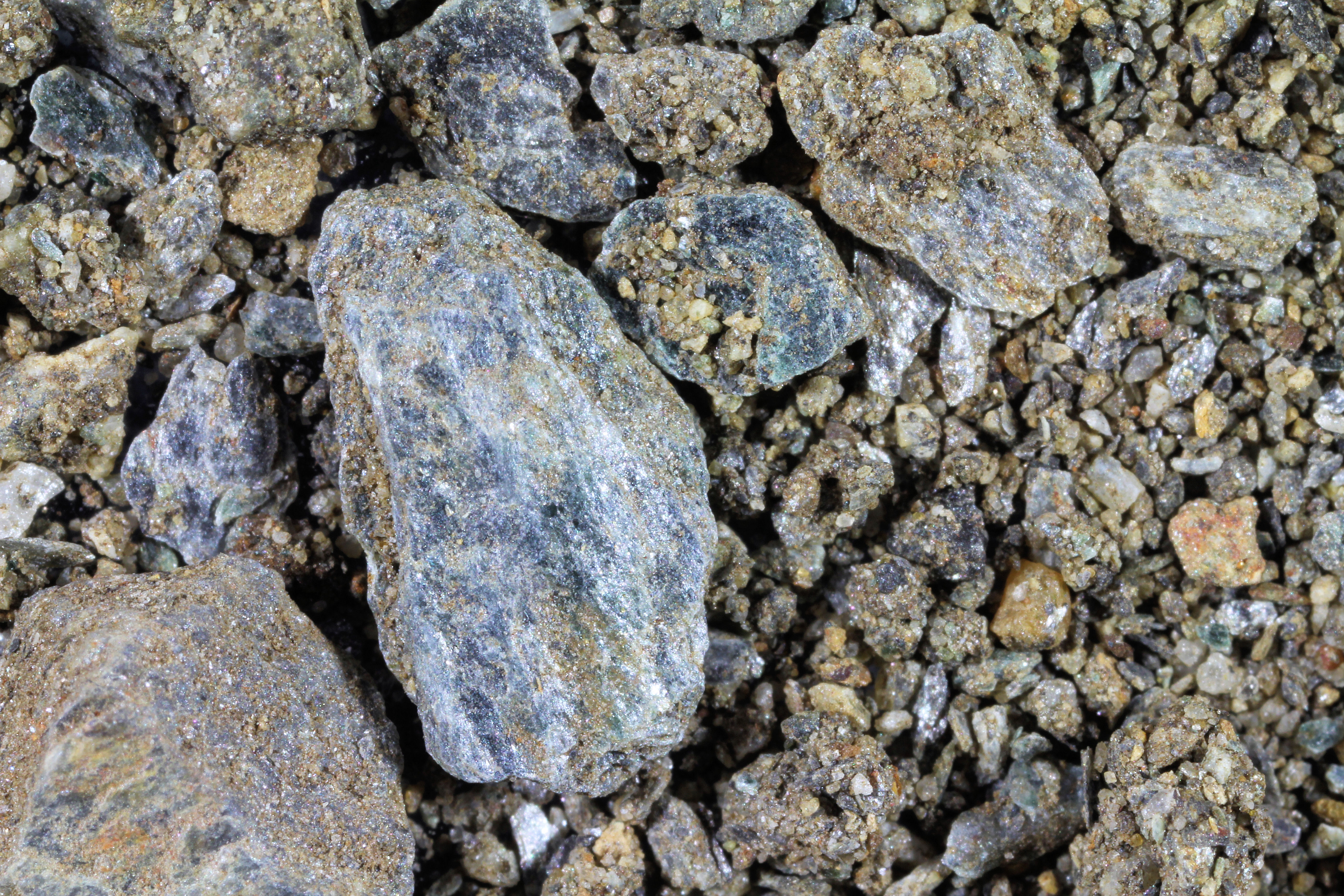
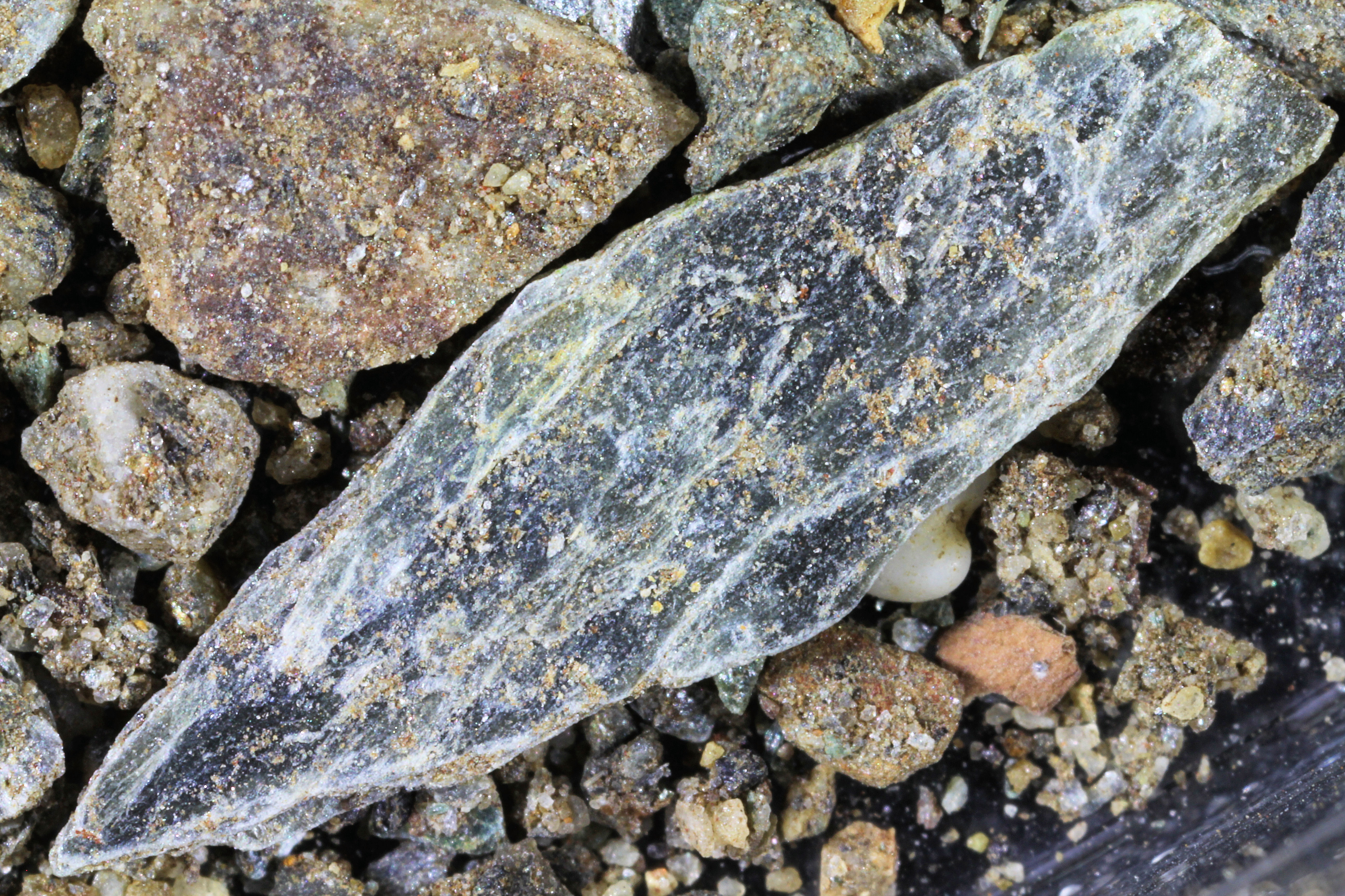
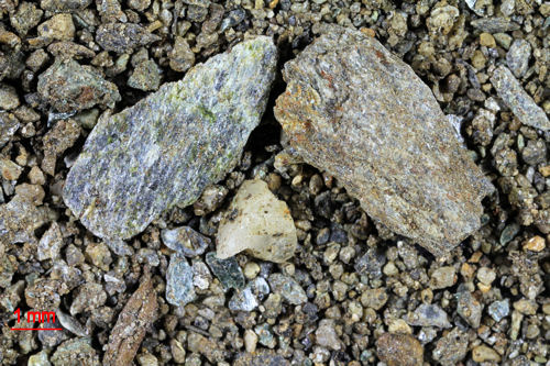
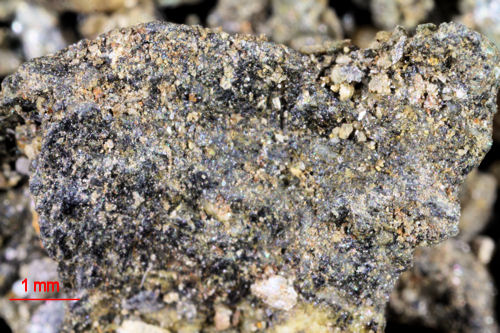
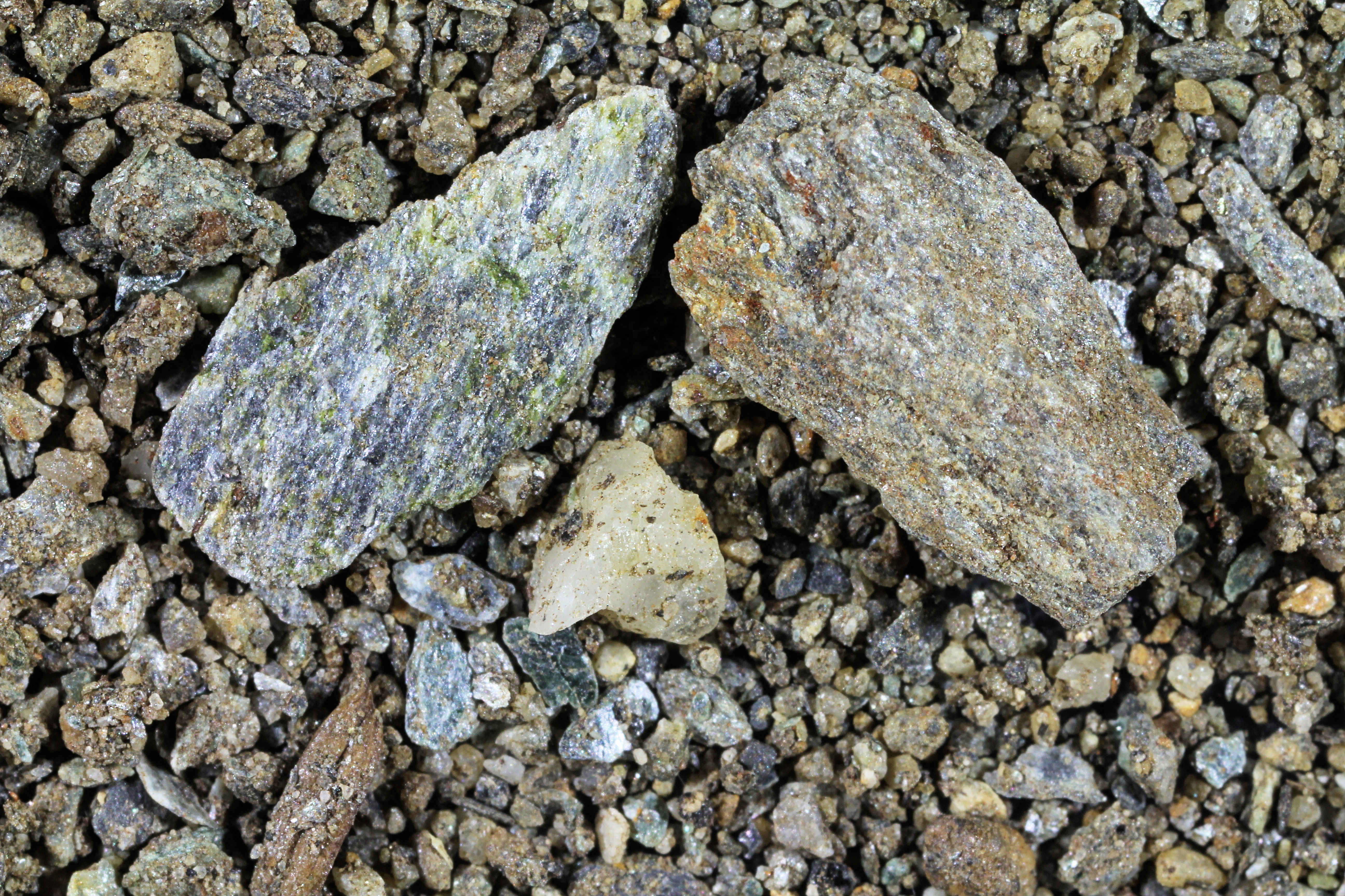
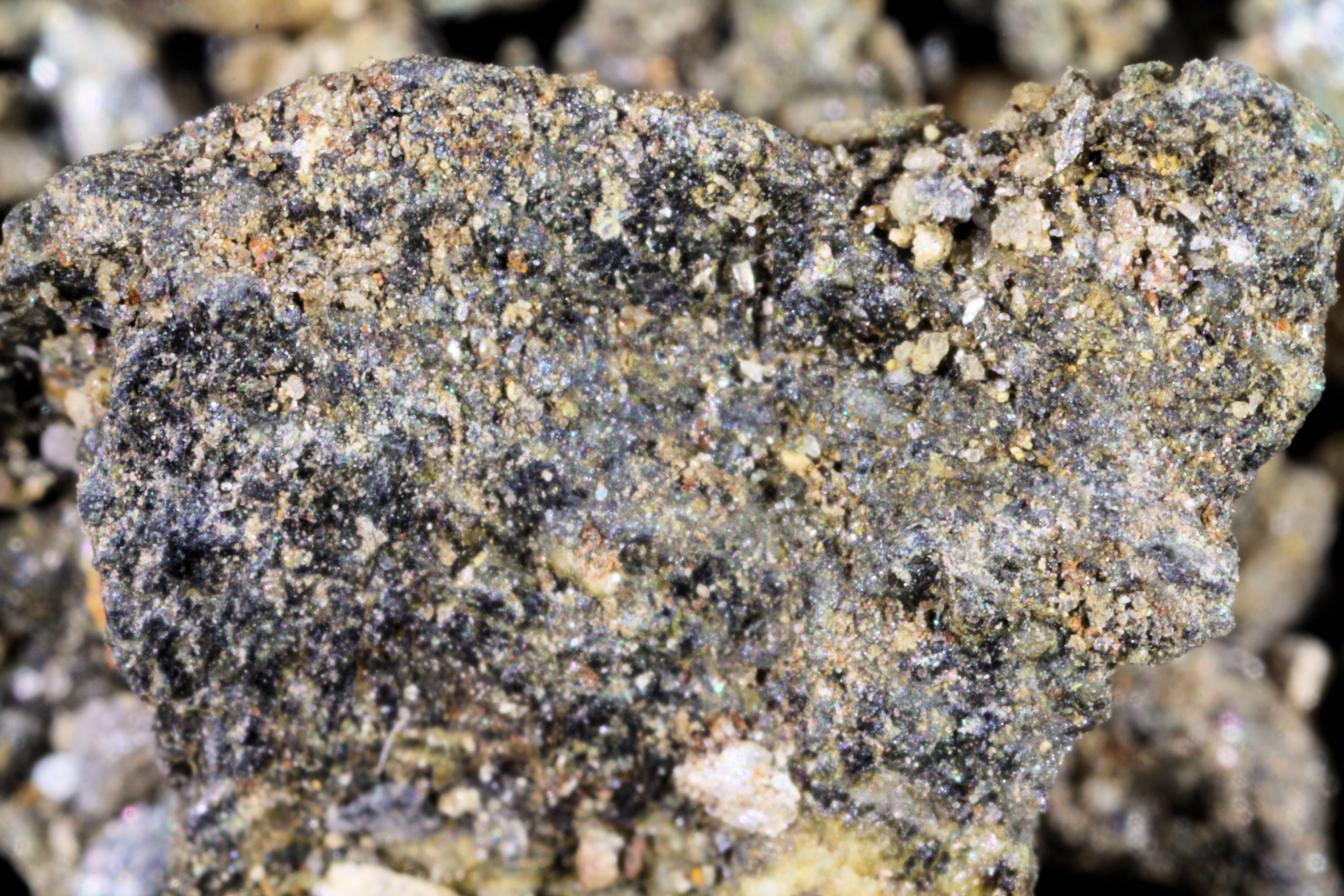
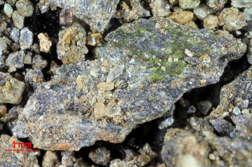
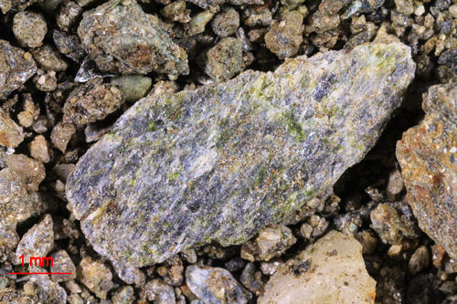
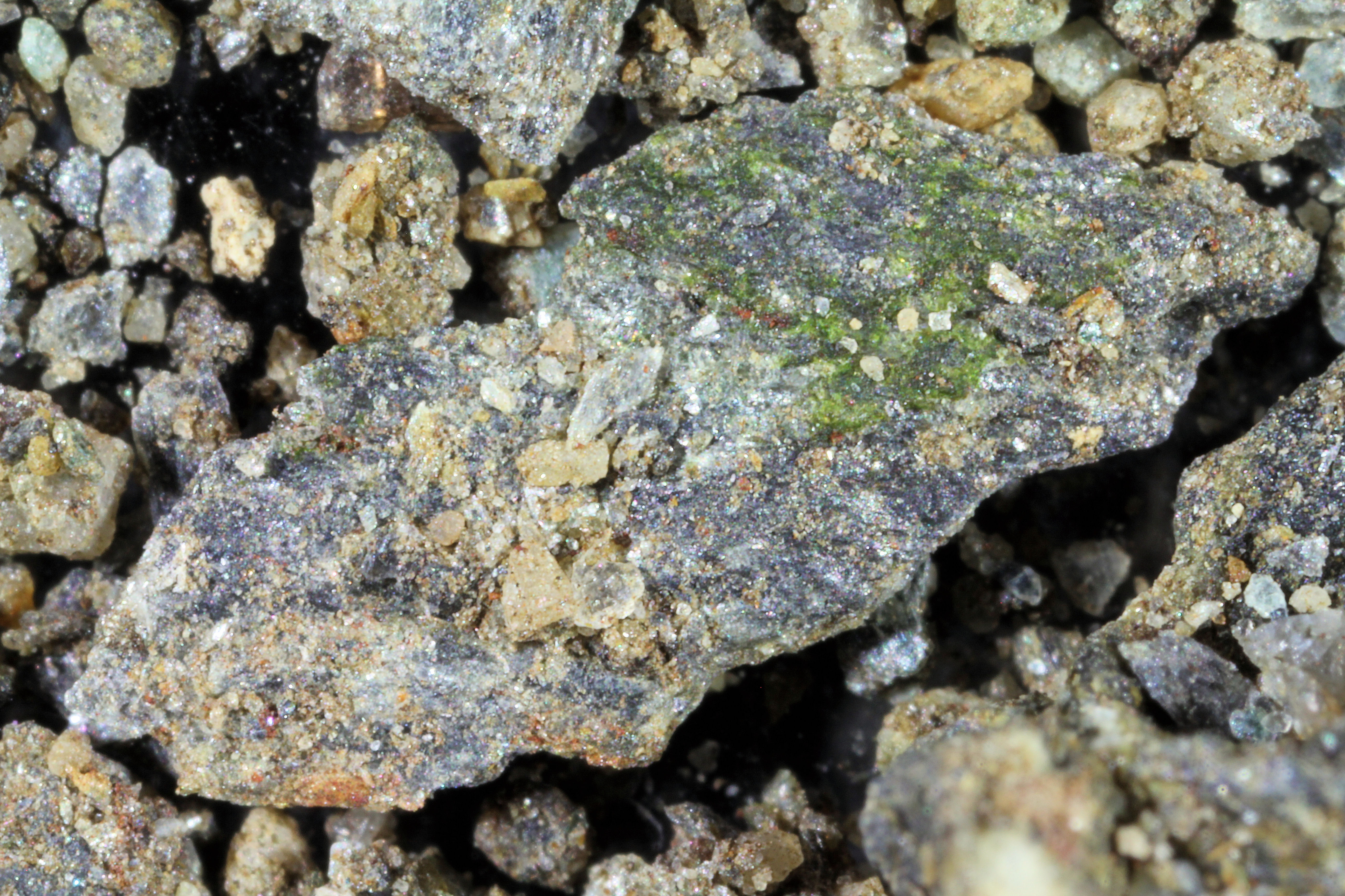
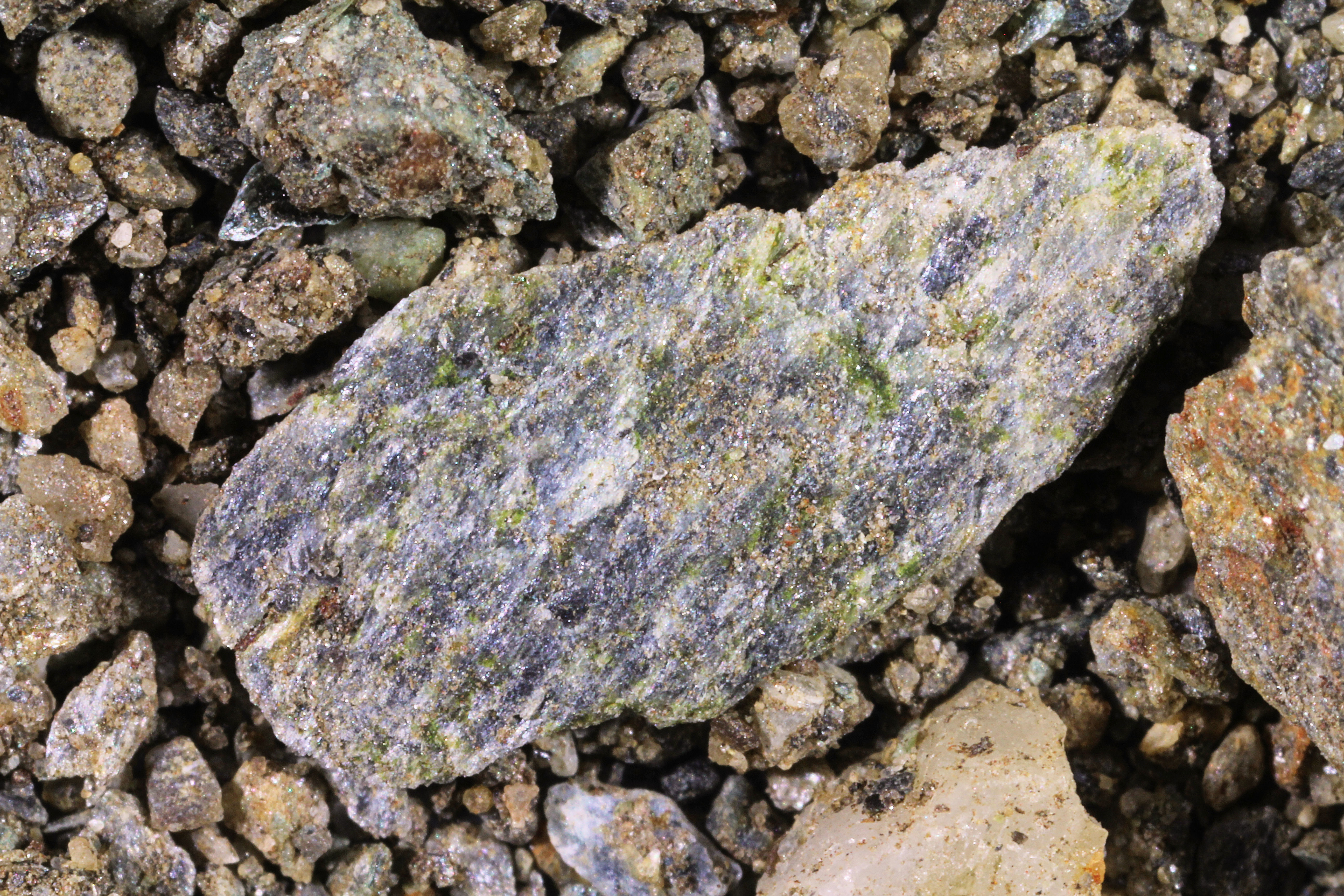
This magnificent sample was contributed by a former faculty member from Gates Intermediate School, Scituate, Massachusetts. Click on the thumbnails under the images to view high resolution images.

Return to Alaskan Sand to view a high resolution version of one of the 3X images.

Return to USA Map

Return to Home

3