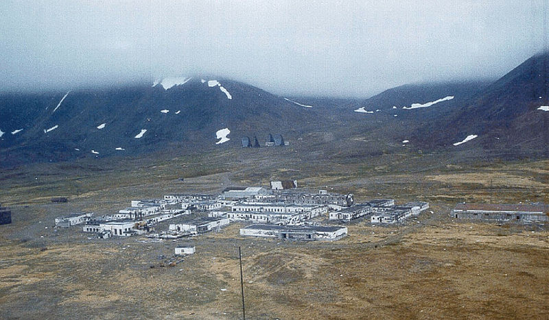
The former White Alice Communications System site at St. Lawrence Island

Wikipedia Commons Image


Wikipedia Commons Image

S)


ST. LAWRENCE ISLAND, GAMBELL 63.42N, 170.40W

The link is to the Wikipedia page on St. Lawrence.


ZERO MAGNITUDE  IMAGE

REFLECTANCE SPECTRUM

1X MAGNIFICATION (RED LINE  = 1MM)

1X MAGNIFICATION (RED LINE  = 1MM)

1X MAGNIFICATION (RED LINE  = 1MM)

1X MAGNIFICATION (RED LINE  = 1MM)


This sample was contributed by a  faculty member from the Anthony A. Andrews School in St. Michael, Alaska.

The Andrews School is a member of the Bering Strait School District.

Return to Alaskan Sand to view a high resolution version of all Alaska samples. Click the thumbnails above to view high resolution versions of these images.

Return to USA Map

Return to Home