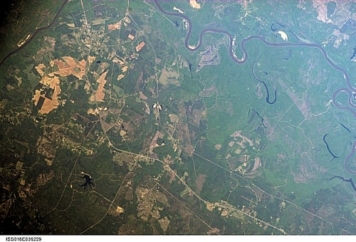
International Space Station 400 mm Photograph
Image credit: Image Science and Analysis Laboratory, NASA Johnson Space Center (http://eol.jsc.nasa.gov)
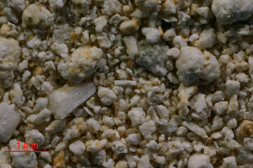
CLAIREBORNE 31.54N, 87.52W
The link is to the USGS description of the Yazoo Clays.
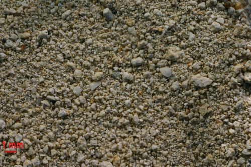
1X MAGNIFICATION (RED LINE = 1MM)
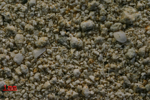
2X MAGNIFICATION (RED LINE = 1MM)
3X MAGNIFICATION (RED LINE = 1MM)
4X MAGNIFICATION (RED LINE = 1MM)
Return to Alabama Sand
Return to USA Map
Return to Home